Loading...
loading
Loading...

Photogrammetry Pro

Author : AV3 AEROVISUAL

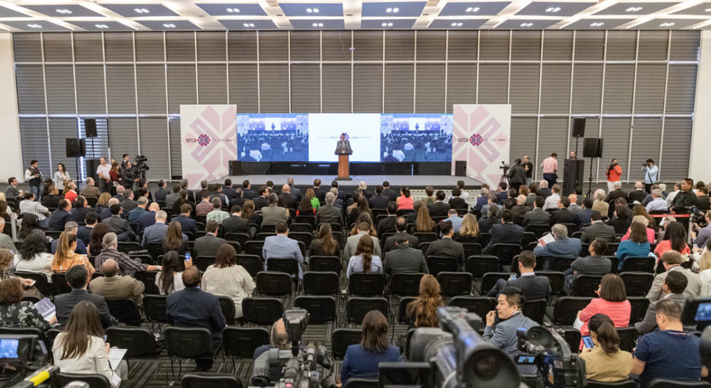
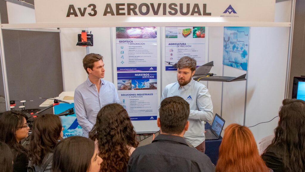
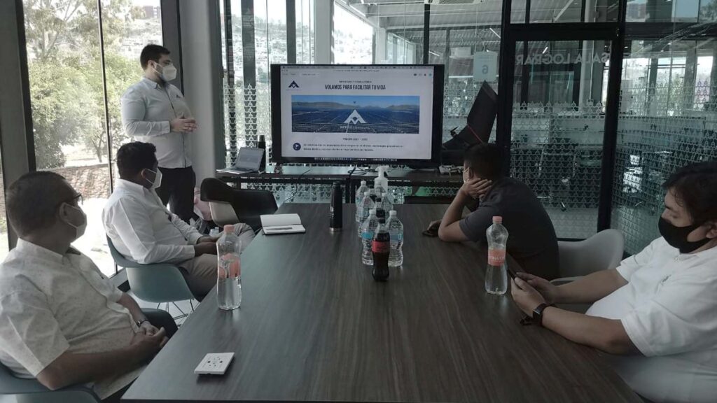
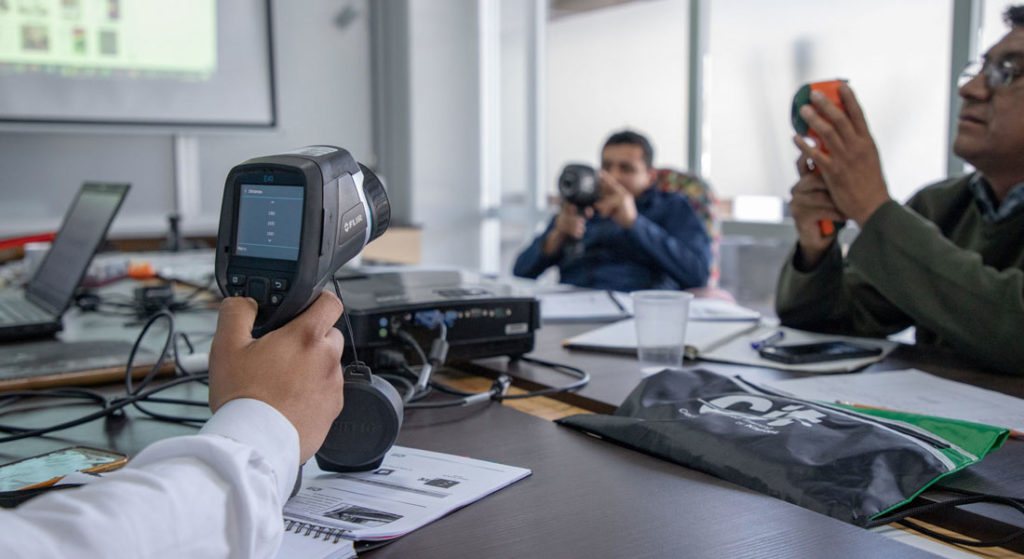
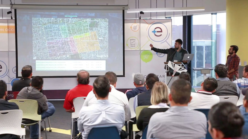
We participated in the first annual meeting of Drones Fotogrametría Pro, held at Tecnológico de Monterrey. The event gathered students, researchers, companies and representatives of government institutions, as well as the people involved or interested in the use of drones for geophysical studies.

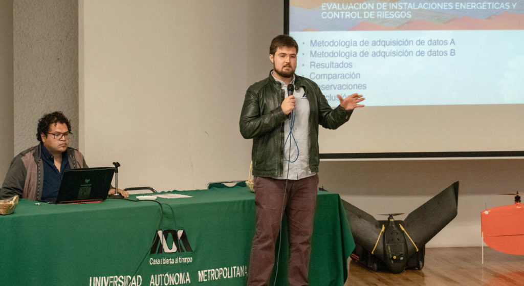
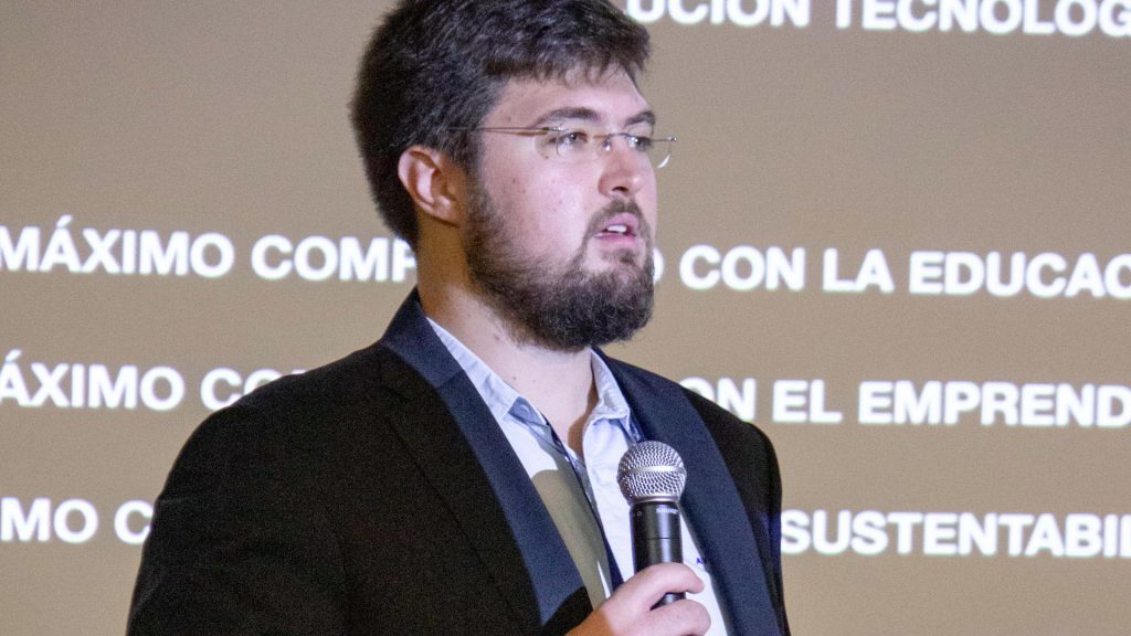
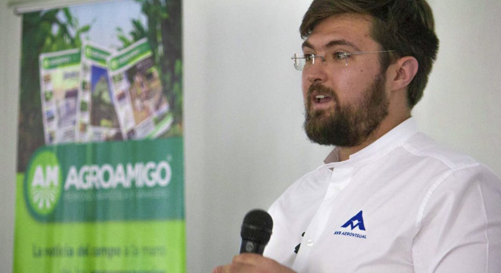
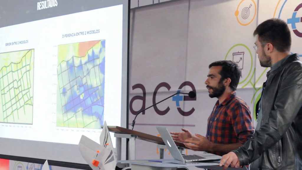
In this first edition we had the honor to participate as speakers presenting a comparison between digital elevation models performed with drones and RTK precision topography. The presentation was led by Pedro Olivares Sainz, Executive Director and Andrés Arzáte, Director of the Geophysics and Exploration area in AV3 AEROVISUAL.

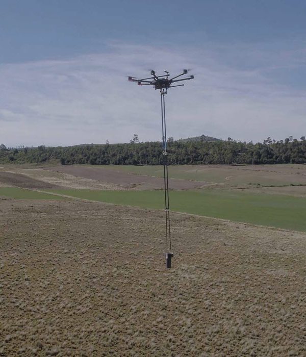
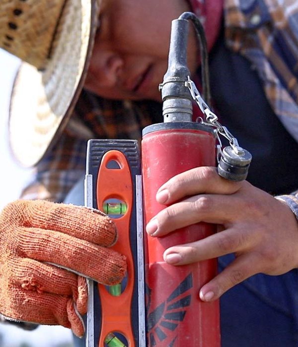
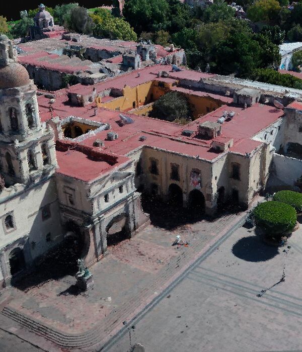
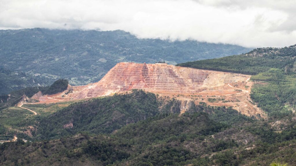
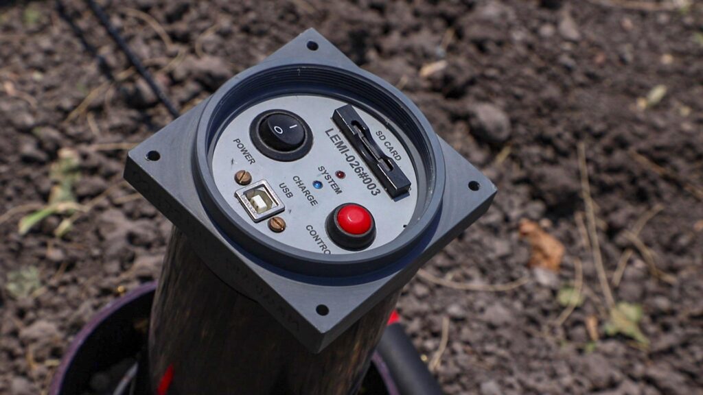
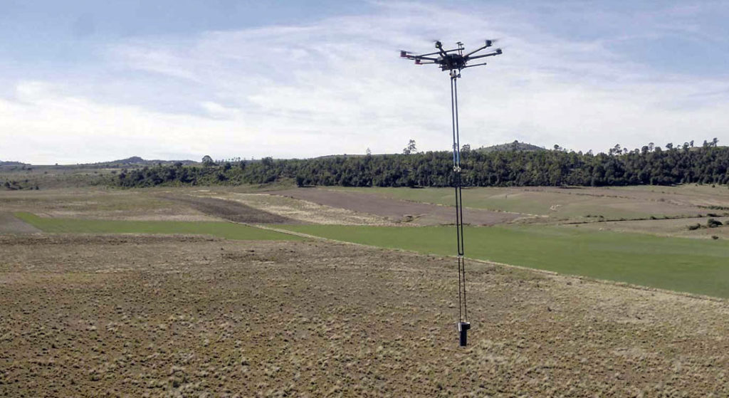
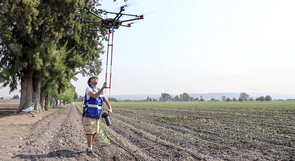
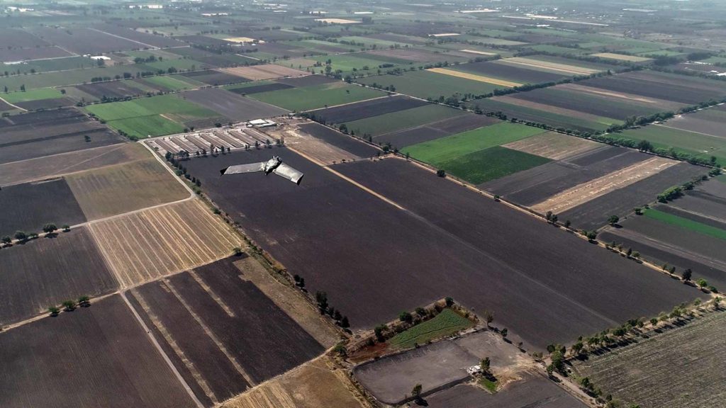
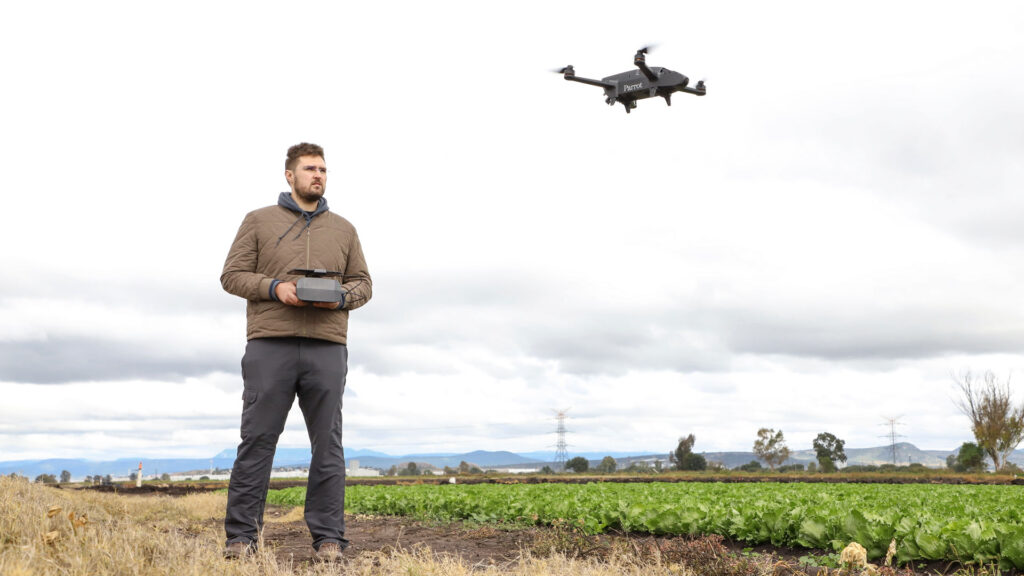
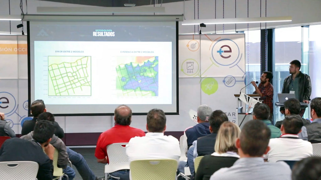
The topography, as well as the digital models, are a great tool, essential for any kind of scientific exploration or constructive action; for this reason different techniques have emerged to generate representations of the surfaces and their respective models. These techniques usually consist of taking points spatially equidistant from each other, with specialized equipment that has mirror and laser systems which are expensive and robust. In this project, presented during the meeting in Jalisco, compares the generation of models with drones using photogrammetry with differential topography carried out in the center of the city of Queretaro Mexico, which is a very active place, and topographically very uneven due to the great amount of alleys, passages and complex structures such as churches and fountains. Several elements of these techniques were compared to show the benefits of this method against this well-known technique.

Services :
Well location
Geophysics and exploration Precision agriculture

Hydrological study and geological analysis for the location of water wells and aquifers; to identify the water capacities of your land and use the water in a more efficient way.

More Information ...
Drone aereo magnetometry
Geophysics and exploration

We are pioneers in aerial magnetometry with drones in Mexico. AV-MAG℠ is a high-tech geophysical exploration method for generating highly accurate magnetic anomaly maps.

More Information ...
Geophysical studies
Geophysics and exploration

We implement geophysical methods for underground research and exploration. Natural resources and hydrocarbons, mining, construction, urban planning, public safety, archeology and agriculture.

More Information ...
Projects:
Related Posts : Geophysics and exploration

As part of our services for geophysics and exploration, we use drones and geophysical technologies for the exploration and estimation of resources, identification of geological structures and soil studies. these services optimize resources and costs, automate and improve processes for planning and development of mining projects, exploration plans, geology management, geophysical investigation, drilling, mineral resource estimation, evaluation of geological and exploration projects, geological data collection, geothermal prospecting, establishment of lithological boundaries, topography, rock bed configuration, well and aquifer location. All our services are insured and all our operators are licenced drone pilots.

Related Posts : News

News and updates about AV3 AEROVISUAL. from our participation or hosting of events, congresses and academic activities; to networking, sponsorships and strategic partnerships.