Development of an aeromagnetic system with drones for geophysical exploration
Case: Maar Rincón de Parangueo and caldera los Humeros
SUMMARY
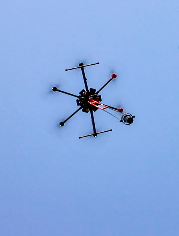
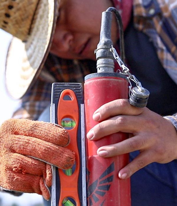
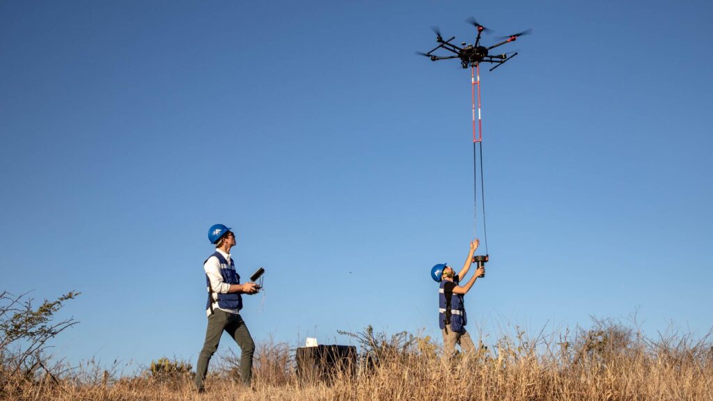
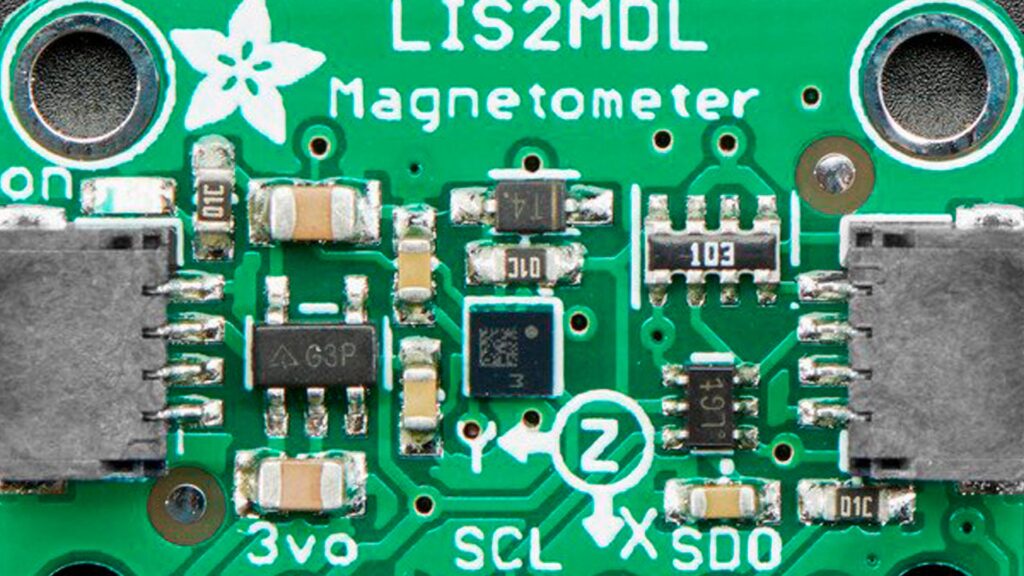
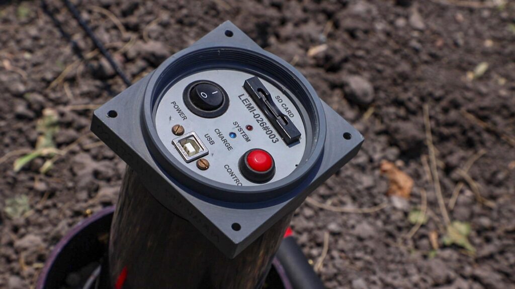
As a part of the current thesis project an aeromagnetic system for exploration was developed using Fluxgate magnetometers, specially designed to be carried by a drone in continuous acquisition mode. This allows the creation of polygons or profiles to obtain magnetic data in areas of all kinds. After signing an agreement, the Geophysics Laboratory of the CGEO and the Electromagnetism Laboratory of the Ukrainian Academy of Sciences, developed the LEMI-026 lightweight fluxgate low-cost model for the acquisition of aeromagnetic data at a fixed frequency of 250 samples/second. This magnetometer is not commercially produced and it is expected that based on the results of this work, the necessary changes will be made to improve its performance and versatility.
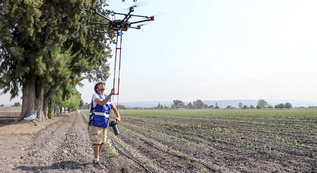
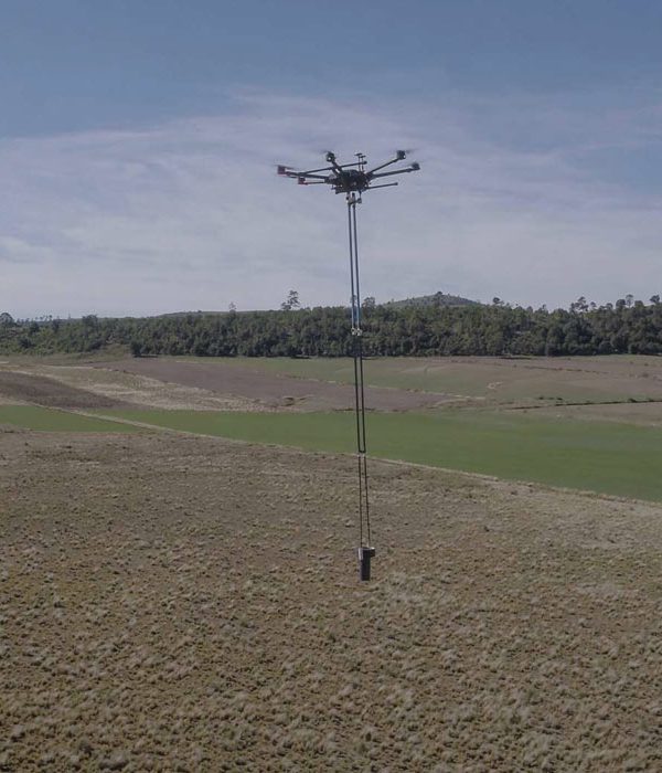
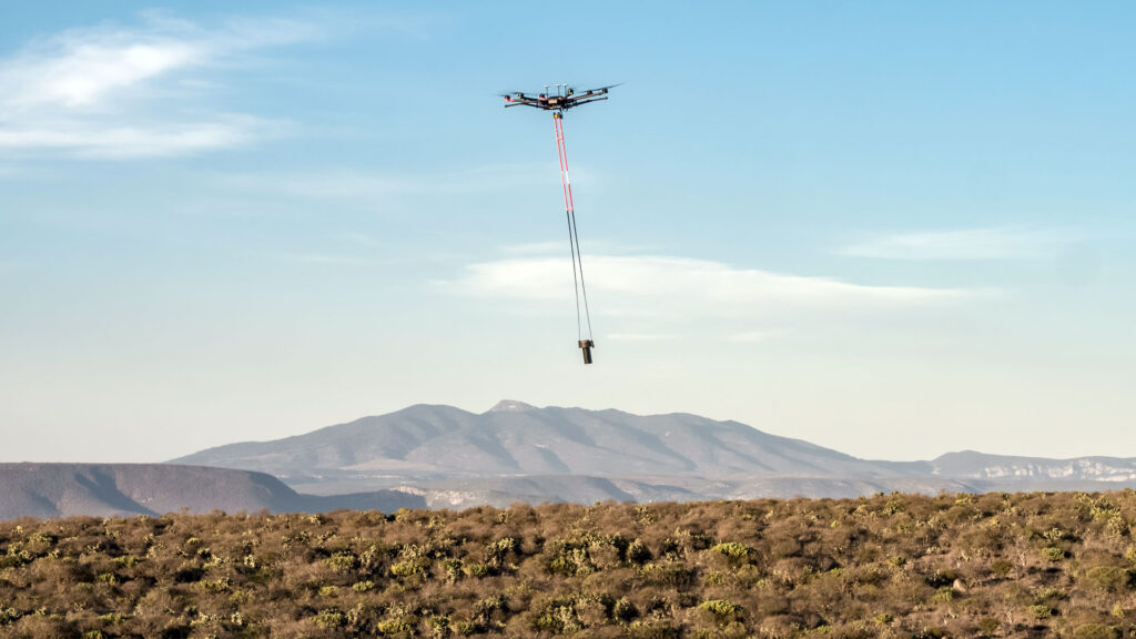
As part of the aeromagnetic acquisition system development, there were sound tests and flight tests in different ground conditions, also, various types of magnetometer-drone assemblies were tested to make the triaxial sensor flights more stable and optimize its operation. It was possible to reduce the flight path of the magnetometer to a minimum by designing a three-degree-of-freedom fastener and an additional two-degree-of-freedom mechanical stabilizer. It was possible to systematize the flights, the acquisition procedure and the processing of the acquired data which can reach 150,000 data in flights of only 10 minutes.
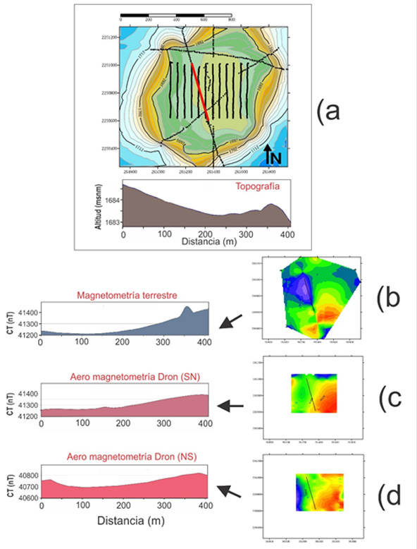
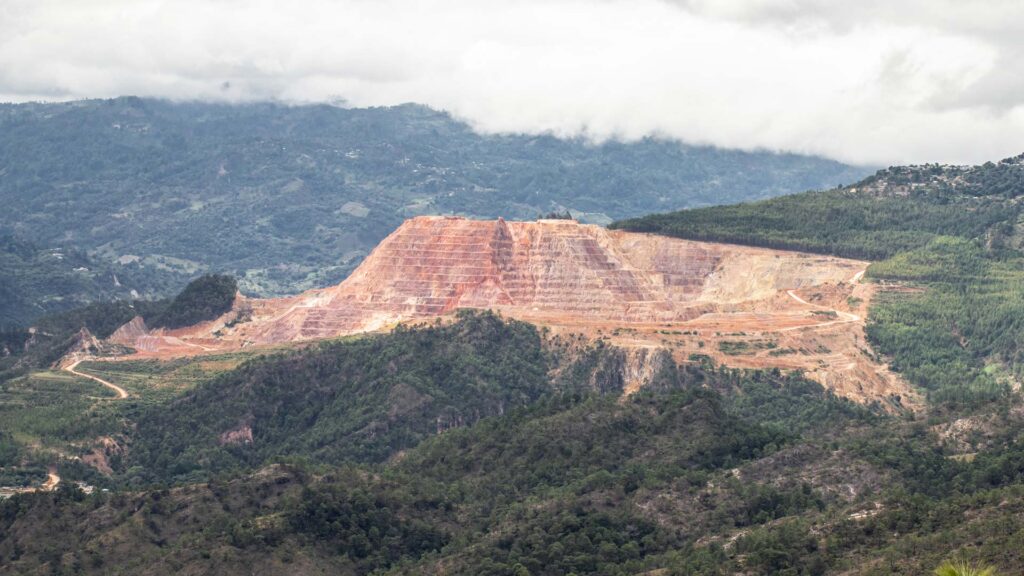
Finally, test flights were carried out in areas of geological interest to demonstrate the correct functioning of the system. One of the data acquisition flights was conducted out at the Rincón de Parangueo Maar crater, a site that was selected for comparison purposes since we already had information from a previous terrestrial magnetic survey at that location. As a complement, another data acquisition flight was carried out at the caldera Los Humeros, Perote, Veracruz, the results are compared with aeromagnetic data from the MGS in the absence of terrestrial magnetic data.
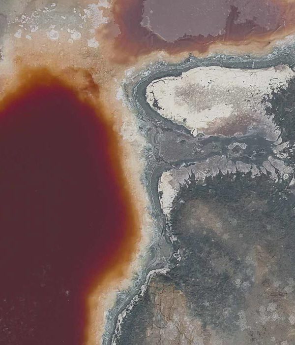
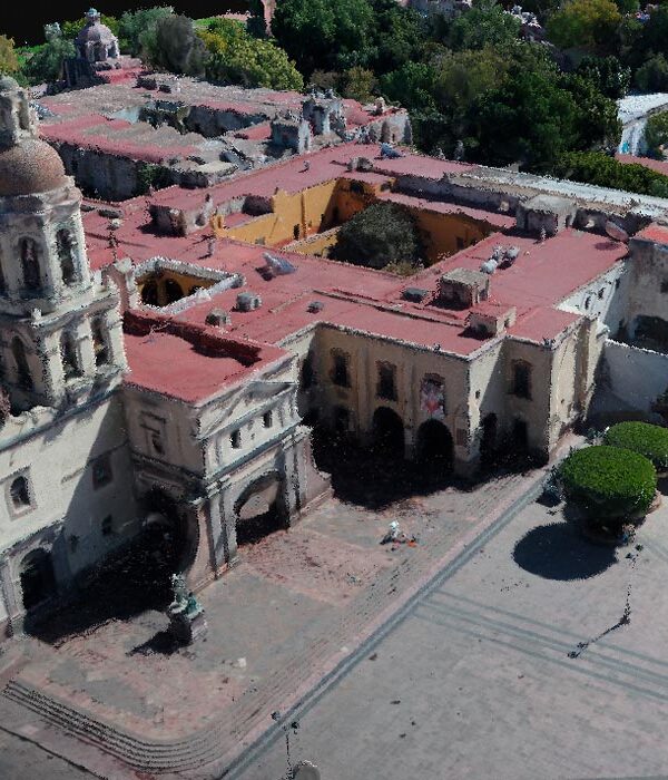
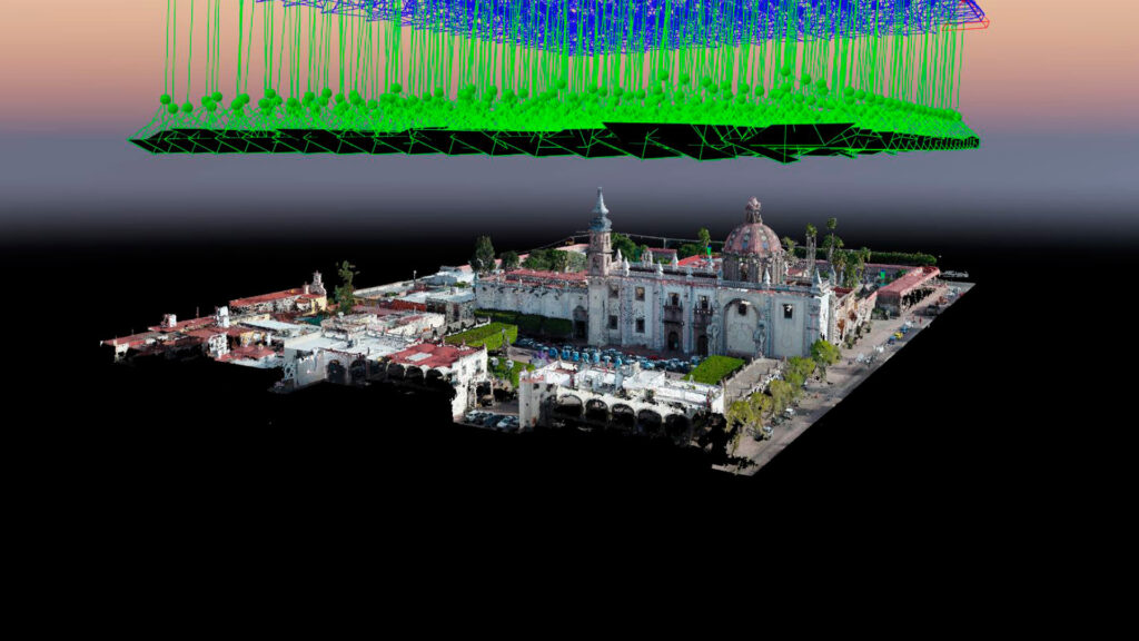
It is important to point out how the preliminary phases of any project must be based on a digital model and image (orthophoto) in order to later integrate more data and studies.

