Loading...
loading
Loading...

50th WTCA General Assembly Querétaro

Author : AV3 AEROVISUAL

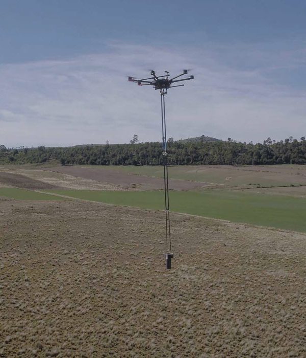
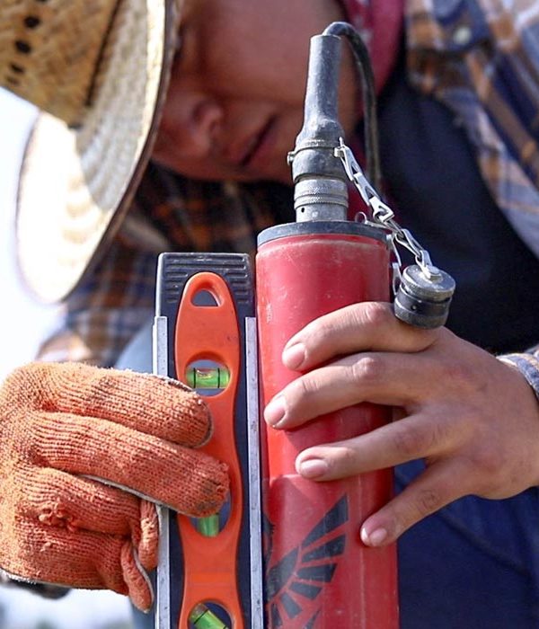
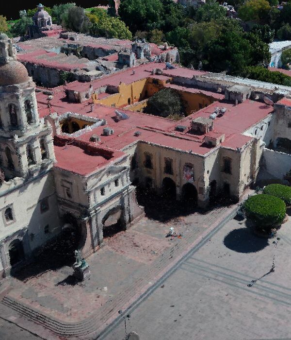
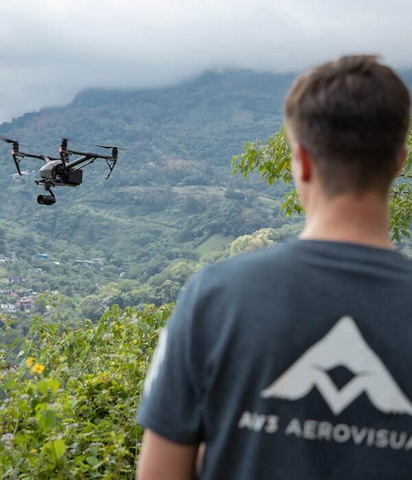
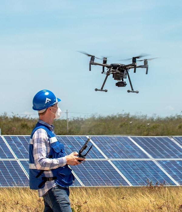
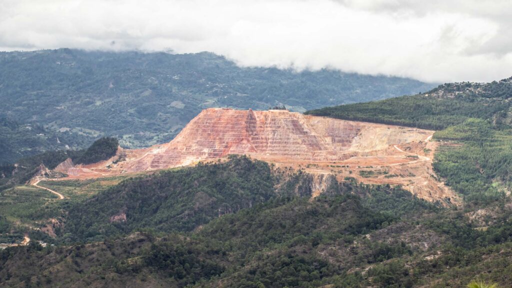
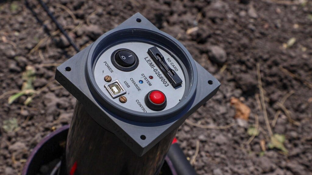
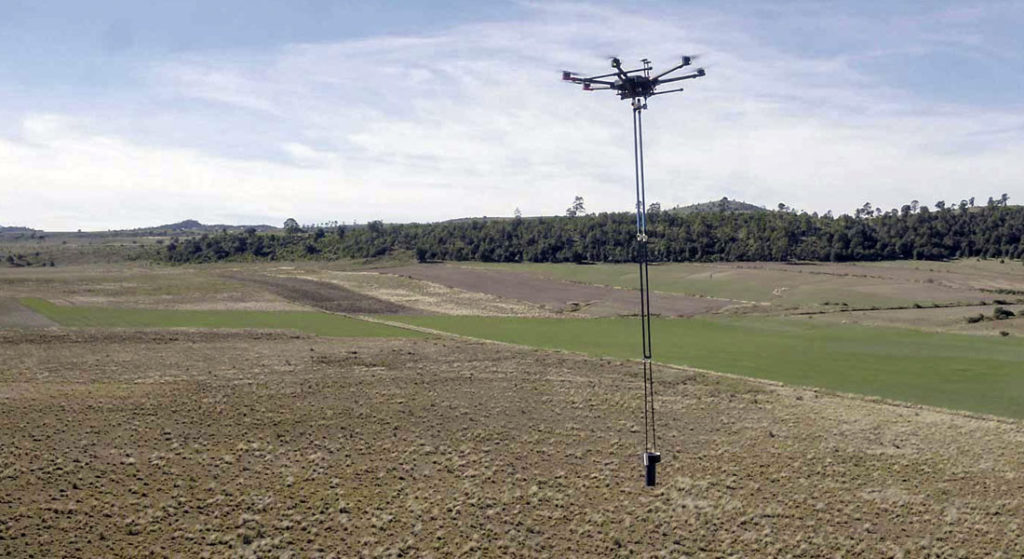
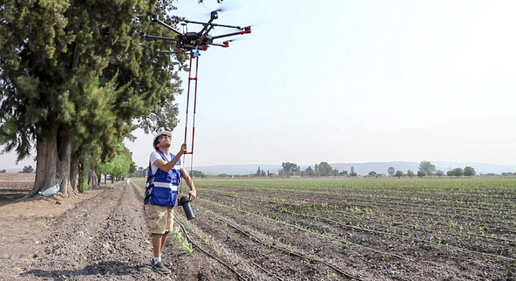
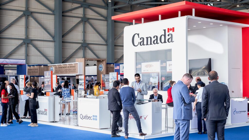
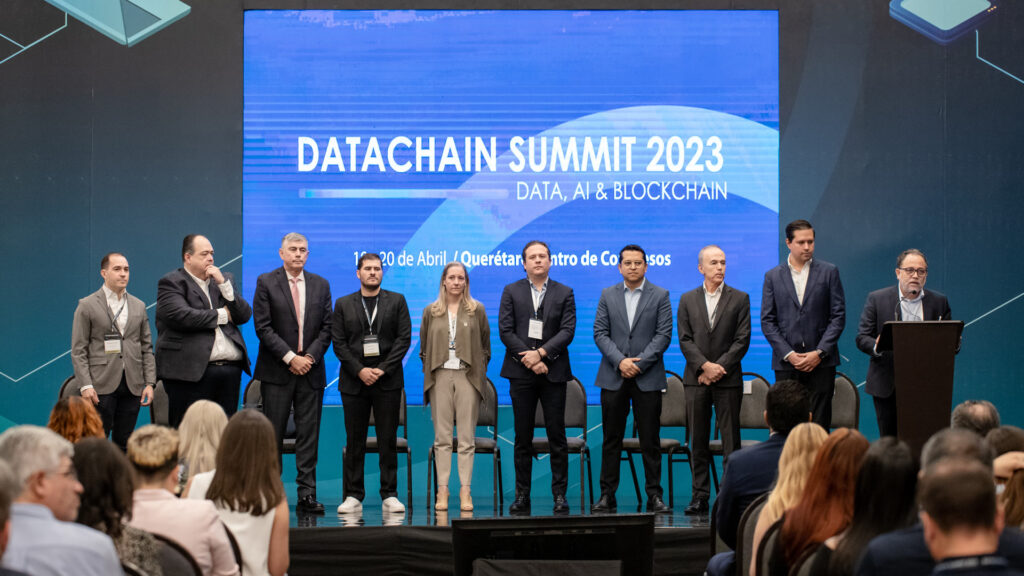
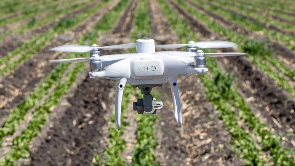
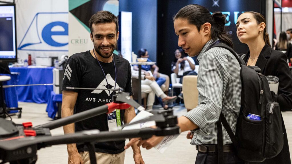
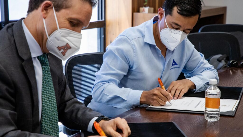
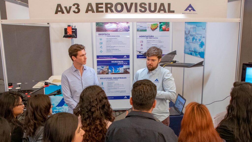
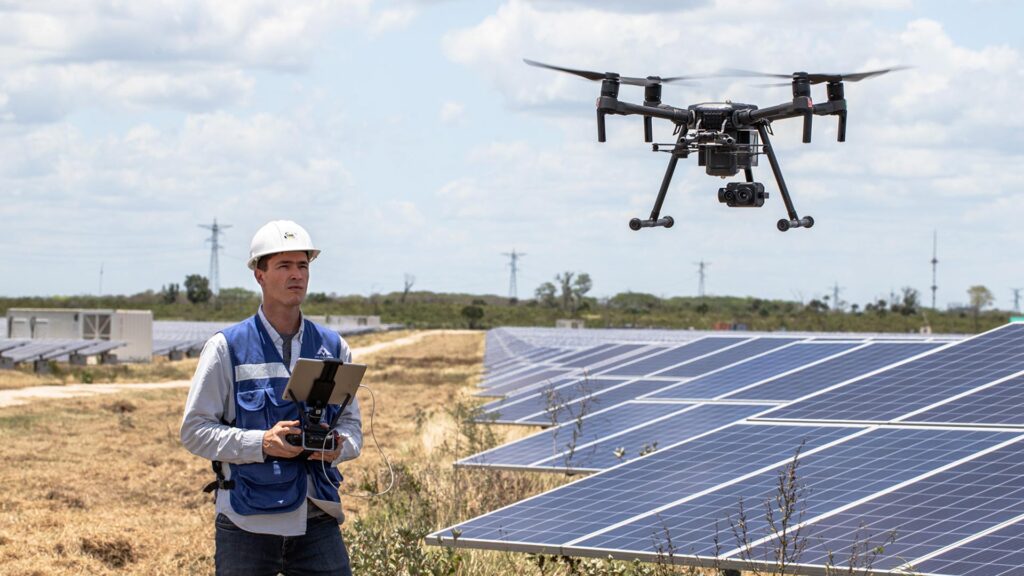
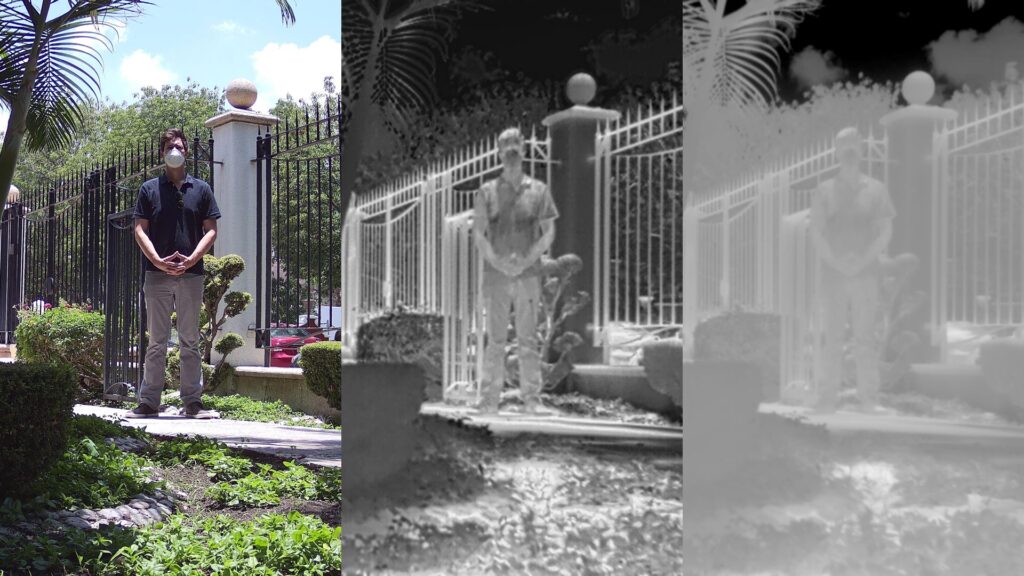
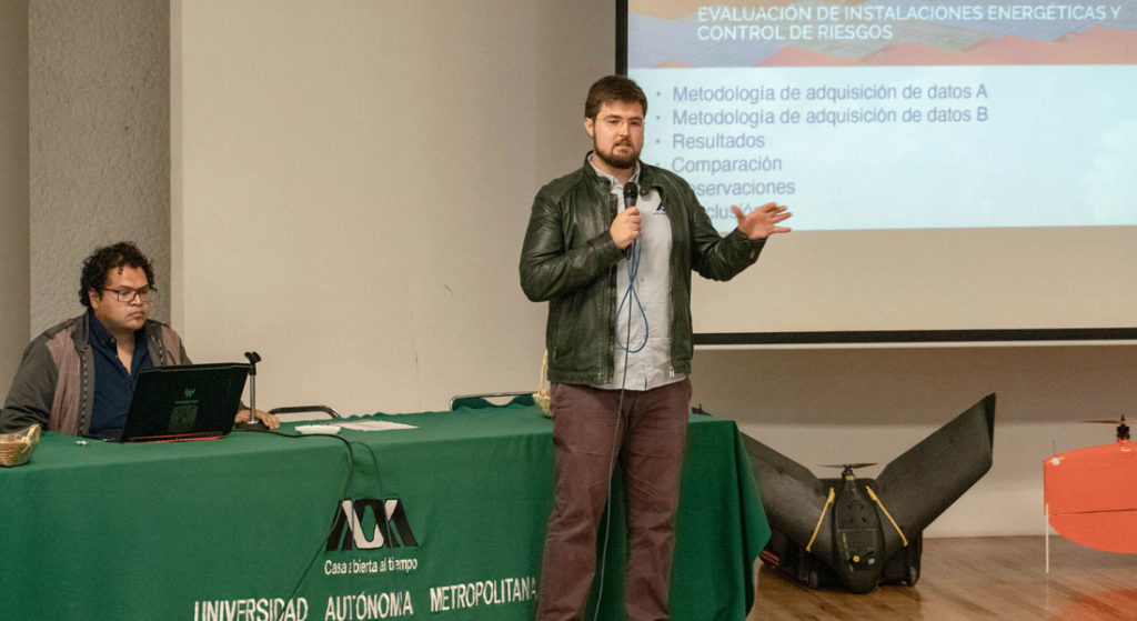
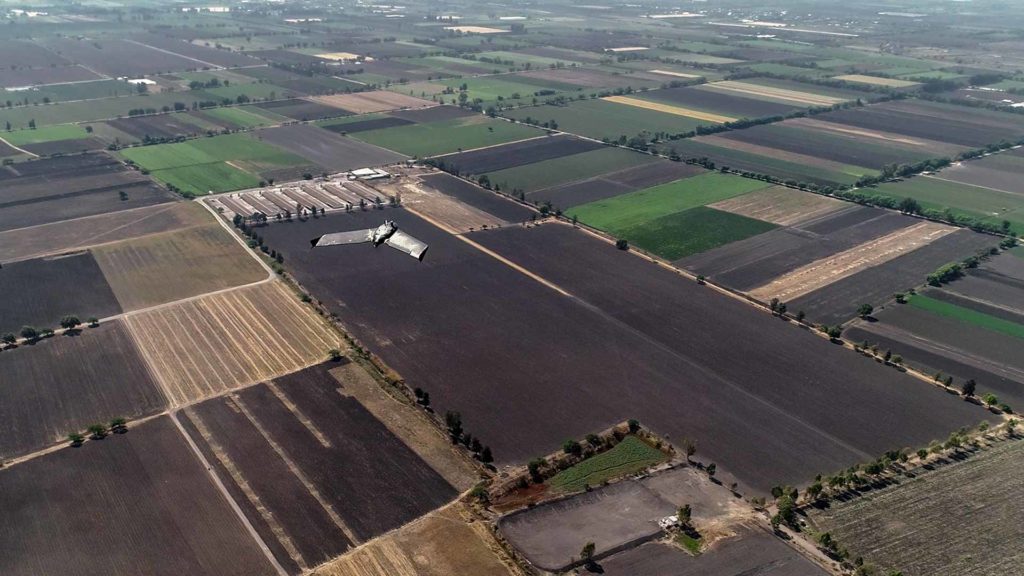
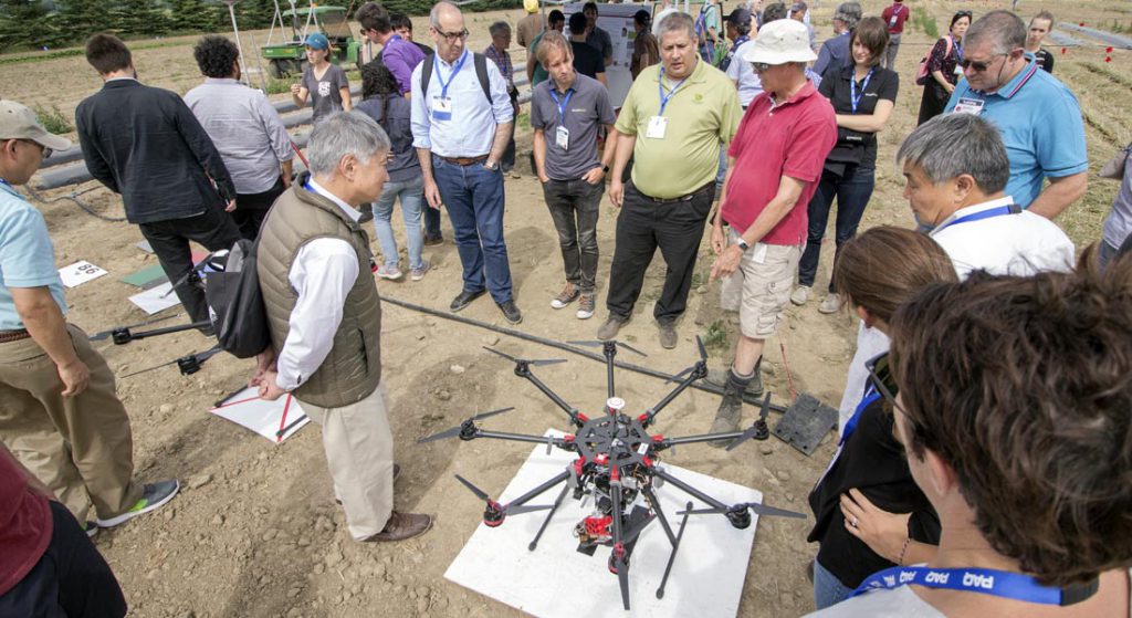
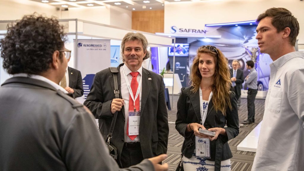
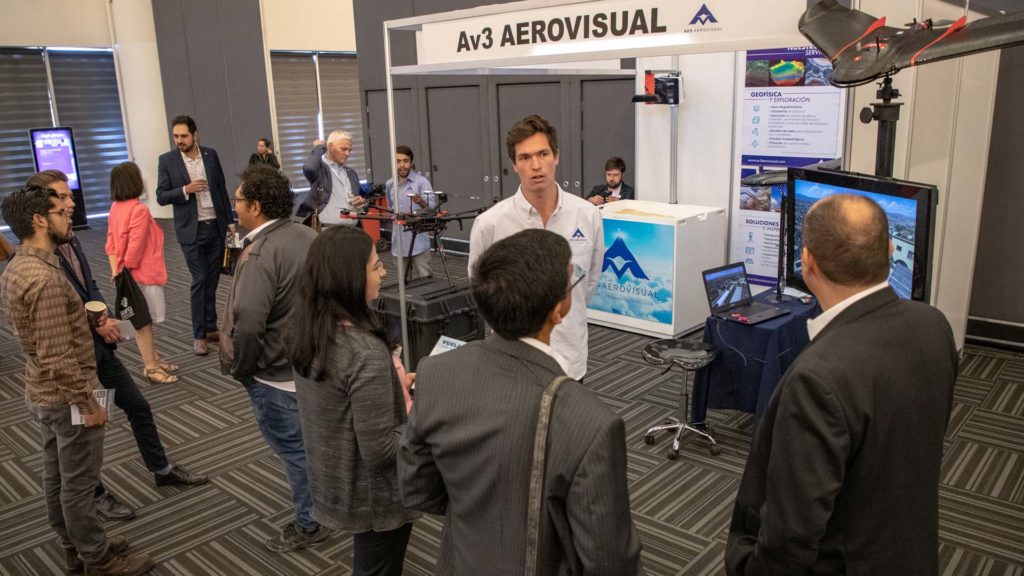
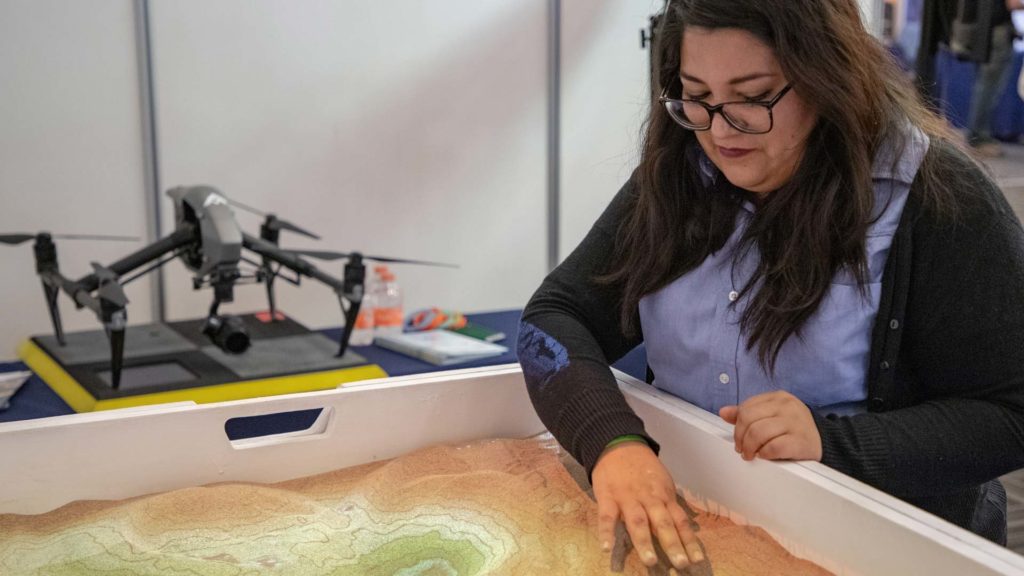
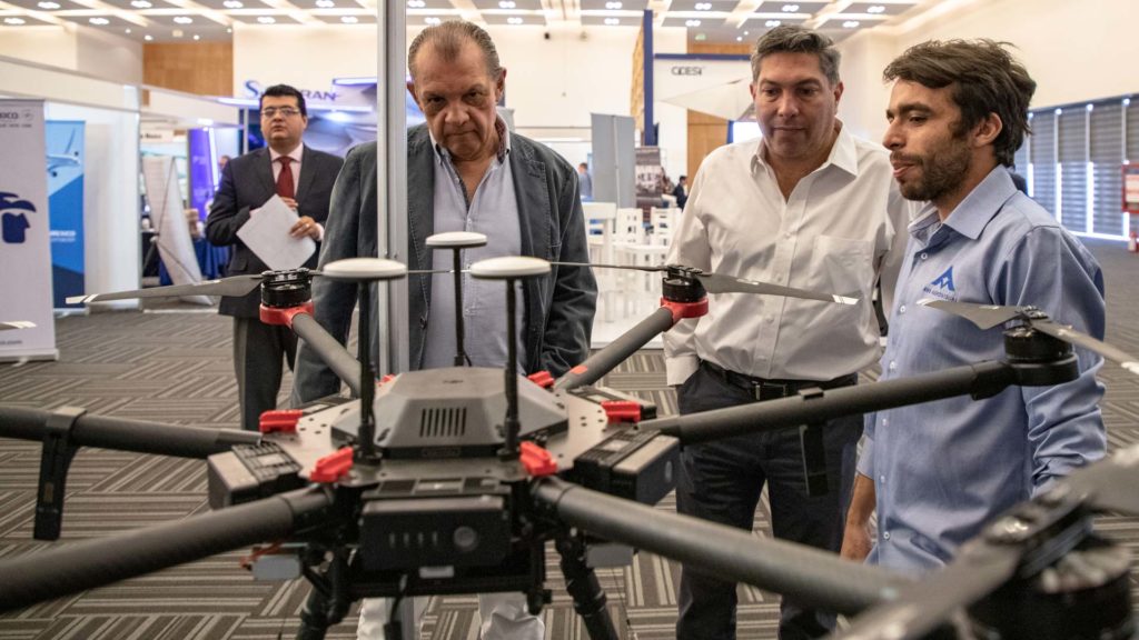
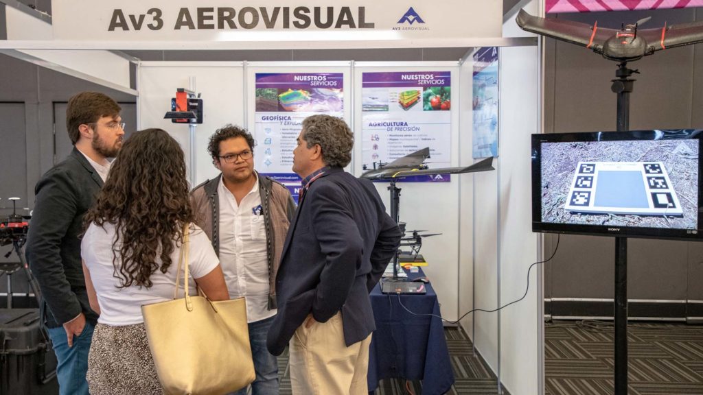
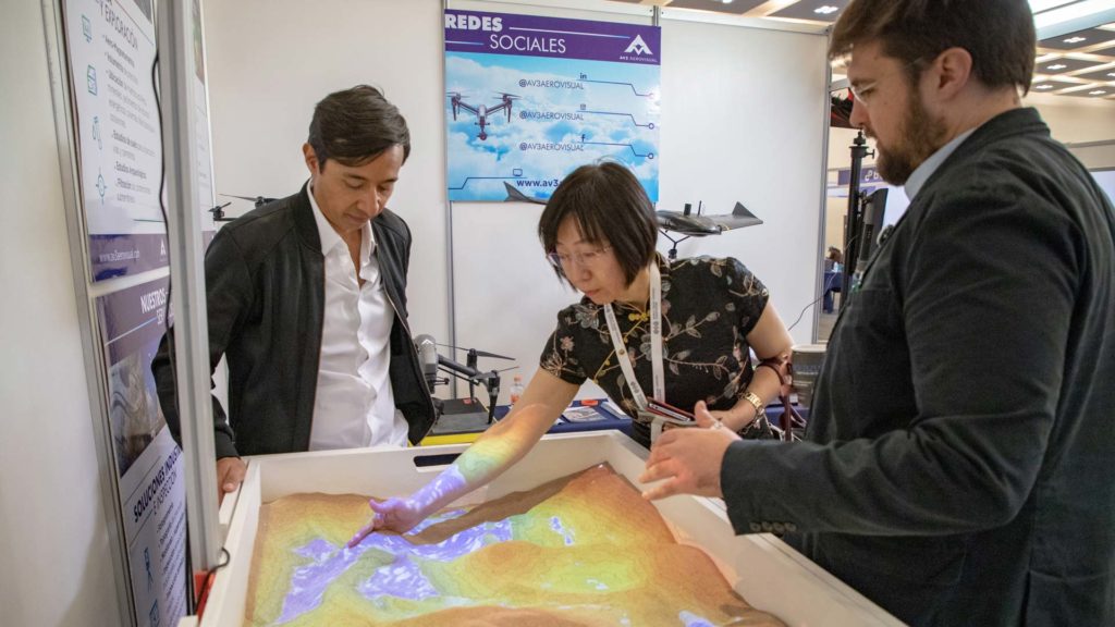
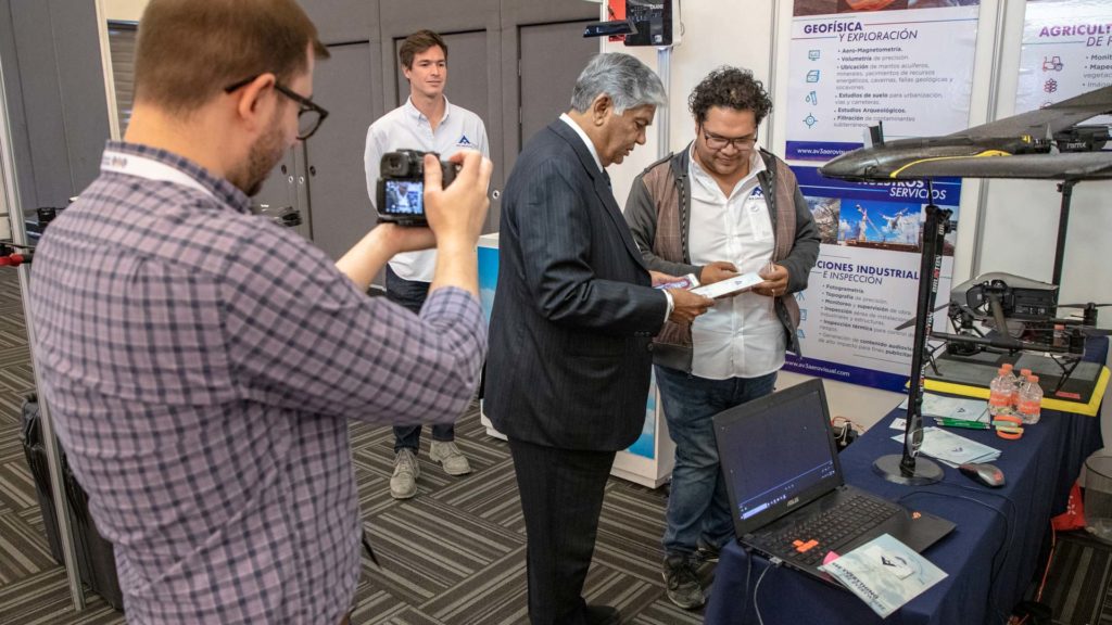
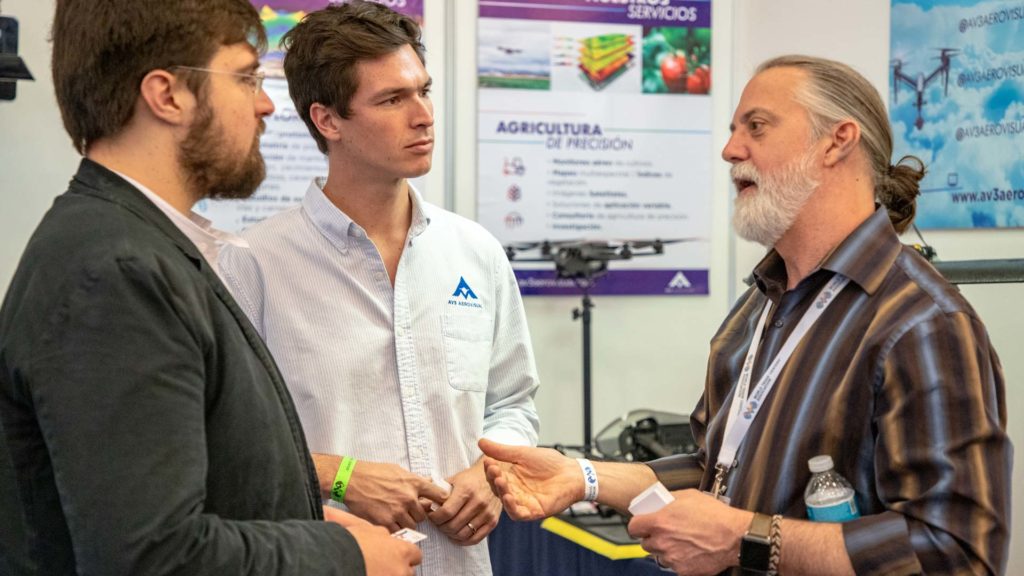
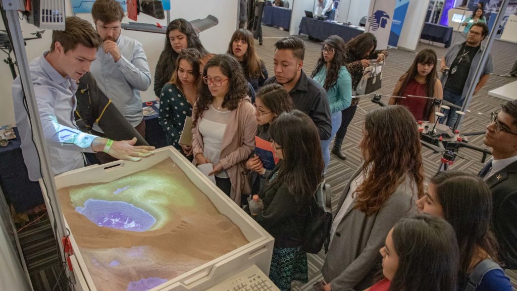
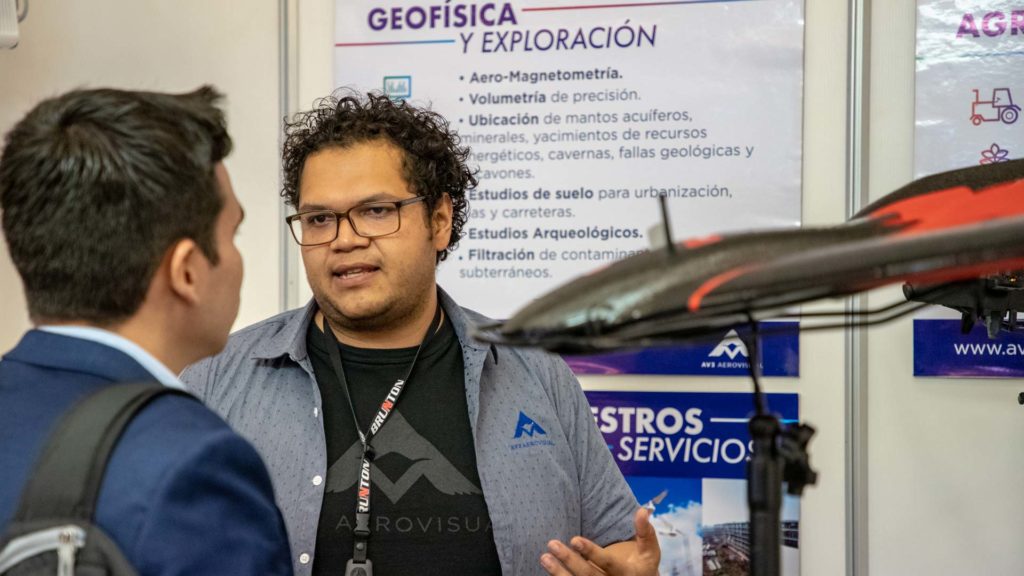
We attended the 50th General Assembly of the World Trade Center Association at the Querétaro Congress Center. The event, that brought together representatives of more than 80 companies and 50 WTC delegations from different parts of the world, was an excellent opportunity to present our services in Industrial Solutions, Precision Agriculture, and especially our most recent division dedicated to Geophysics and Exploration.

Querétaro, having a privileged location not only in Mexico but in the region that connects Central, South and North America; was the venue for this celebration where topics related to health, sustainability, energy, technology, innovation, aeronautics, investment, industrial real estate, import and export, were discussed.

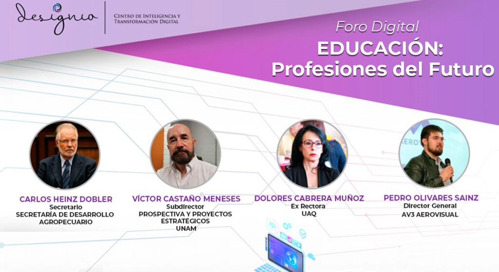
The WTCA General Assembly (GA) is the Association’s main event, bringing together over 250 representatives of the World Trade Centers. The exclusive list of attendees includes CEOs, business leaders, buyers and sellers from all regions of the world.

EXPLORE THE BLOG

Services :
Well location
Geophysics and exploration Precision agriculture

Hydrological study and geological analysis for the location of water wells and aquifers; to identify the water capacities of your land and use the water in a more efficient way.

More Information ...
Drone aereo magnetometry
Geophysics and exploration

We are pioneers in aerial magnetometry with drones in Mexico. AV-MAG℠ is a high-tech geophysical exploration method for generating highly accurate magnetic anomaly maps.

More Information ...
Geophysical studies
Geophysics and exploration

We implement geophysical methods for underground research and exploration. Natural resources and hydrocarbons, mining, construction, urban planning, public safety, archeology and agriculture.

More Information ...
Projects:
Related Posts : Geophysics and exploration

As part of our services for geophysics and exploration, we use drones and geophysical technologies for the exploration and estimation of resources, identification of geological structures and soil studies. these services optimize resources and costs, automate and improve processes for planning and development of mining projects, exploration plans, geology management, geophysical investigation, drilling, mineral resource estimation, evaluation of geological and exploration projects, geological data collection, geothermal prospecting, establishment of lithological boundaries, topography, rock bed configuration, well and aquifer location. All our services are insured and all our operators are licenced drone pilots.

Related Posts : News

News and updates about AV3 AEROVISUAL. from our participation or hosting of events, congresses and academic activities; to networking, sponsorships and strategic partnerships.