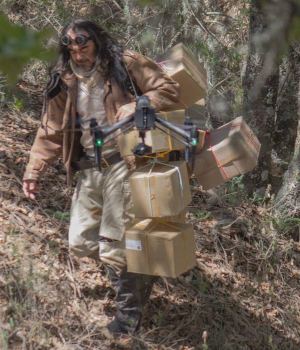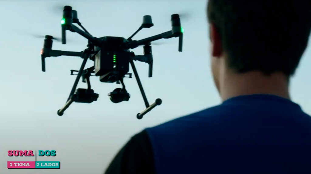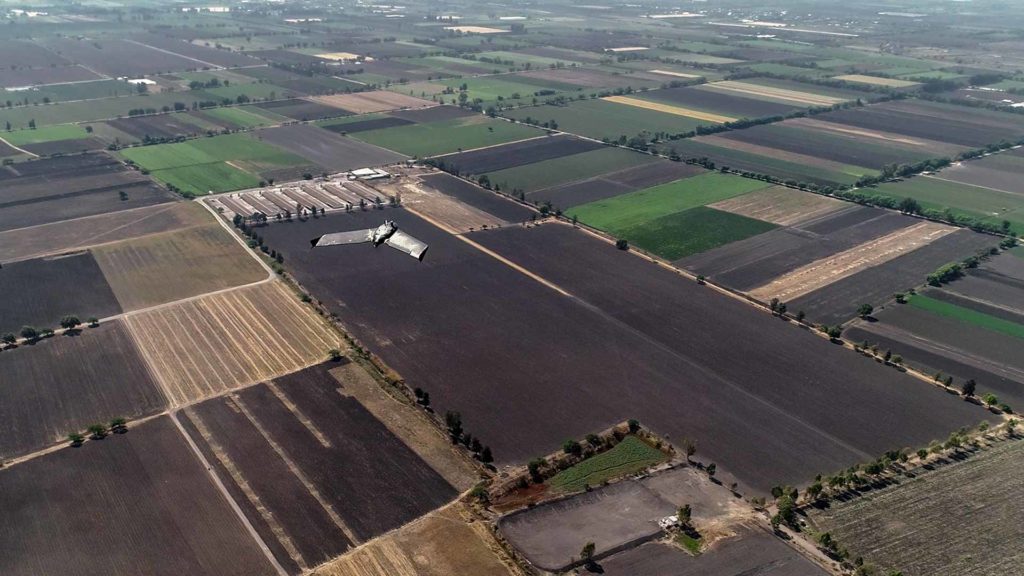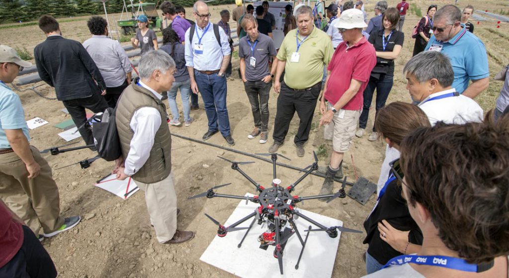
If there is something we have learned in these last years; it is all the possibilities and applications that drones have in different sectors, not only in the industry, but also in the rescue of people, preservation of natural areas and scientific research, to mention a few.
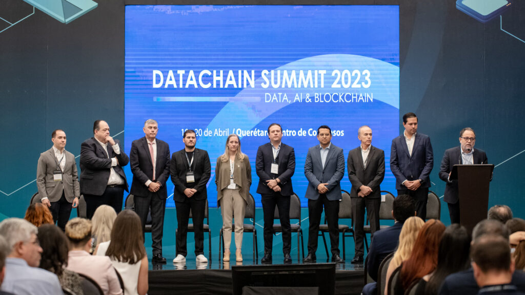
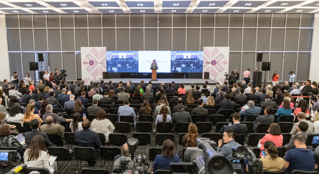
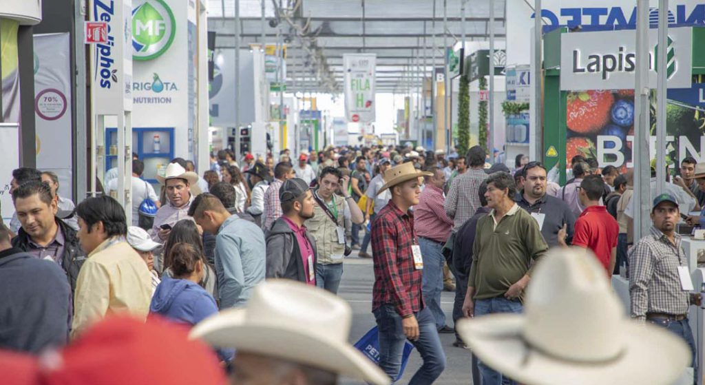
In such a way the development of this technology goes hand in hand with innovations that allow the processing of large amounts of data and images, in a short time and in a precise way. In this context, Pix4D, a world leader in the development of photogrammetry and drone mapping software, organized the webinar Optimizing Industrial Processes in Latin America, in which we had the honor of taking part and share our experience in the industry, alongside leaders and projects that are making a difference in the region and that, like us, are part of the Pix4D ambassador program.
XENITAL

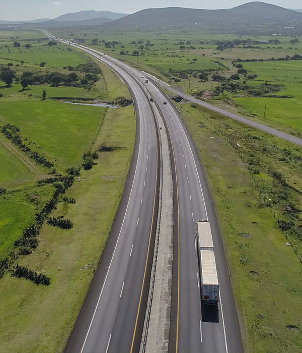
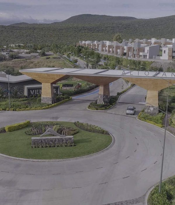
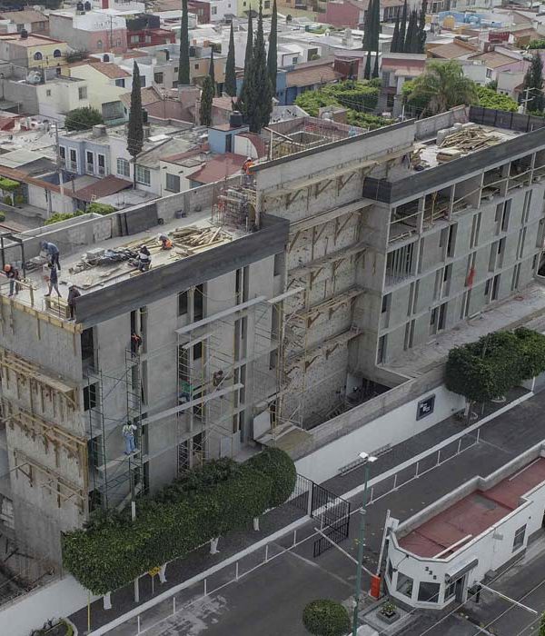
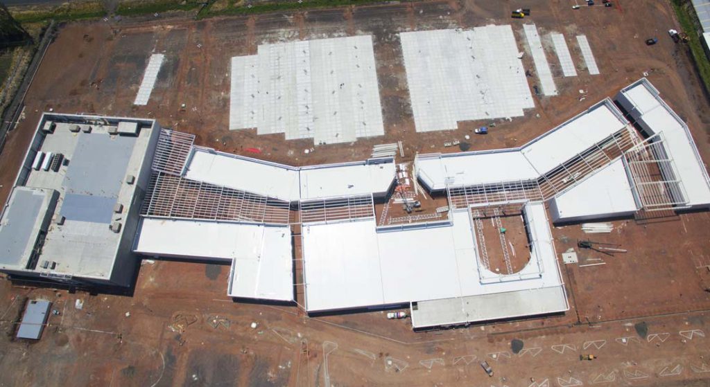
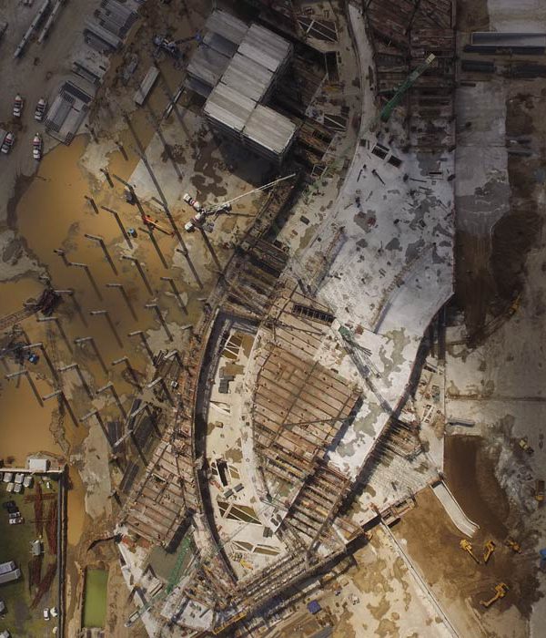
During his participation, Sebastian Úribe, CEO and founder of Xenital in Colombia, spoke about photogrammetry for the control of infrastructure assets and how this work has allowed his team to work on large scale projects for the construction industry. In his experience, tools such as Pix4Dmapper and Pix4Dcloud, have been an essential part of the growth and consolidation of his company, thanks to the generation of high precision three-dimensional models.
COATAZA DRONE
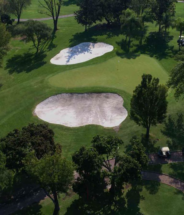
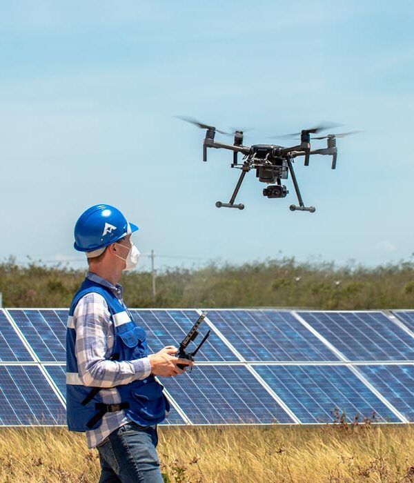
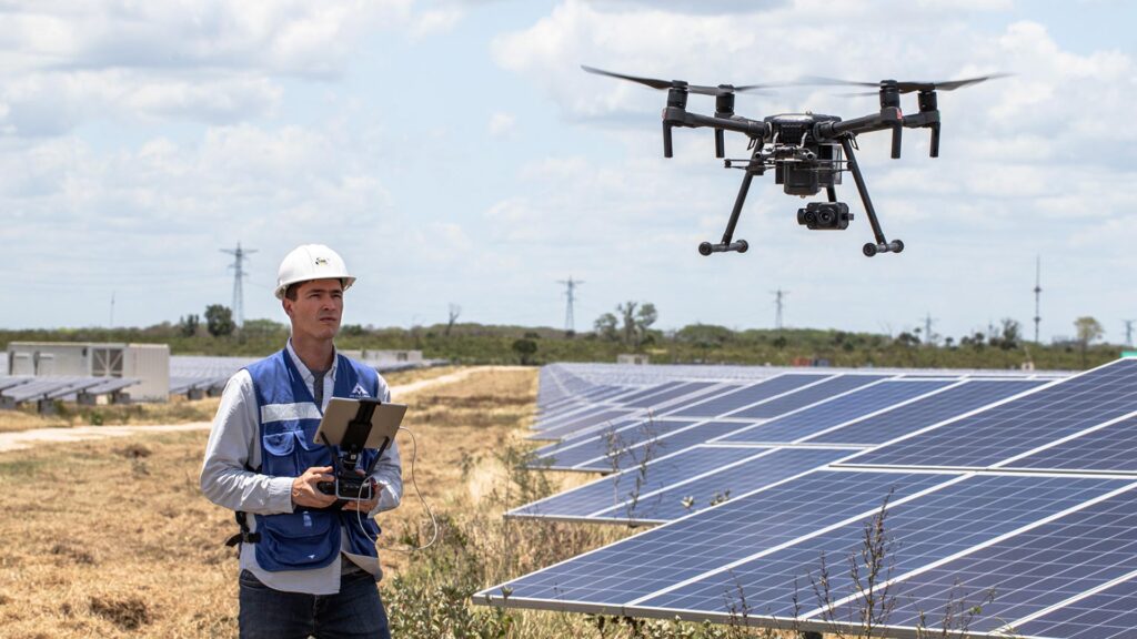
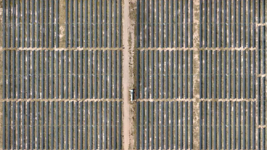
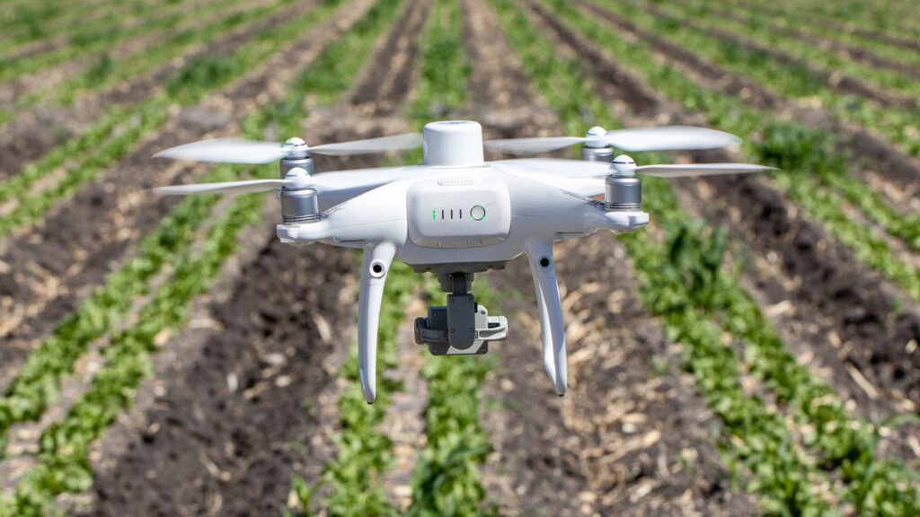
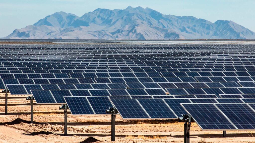
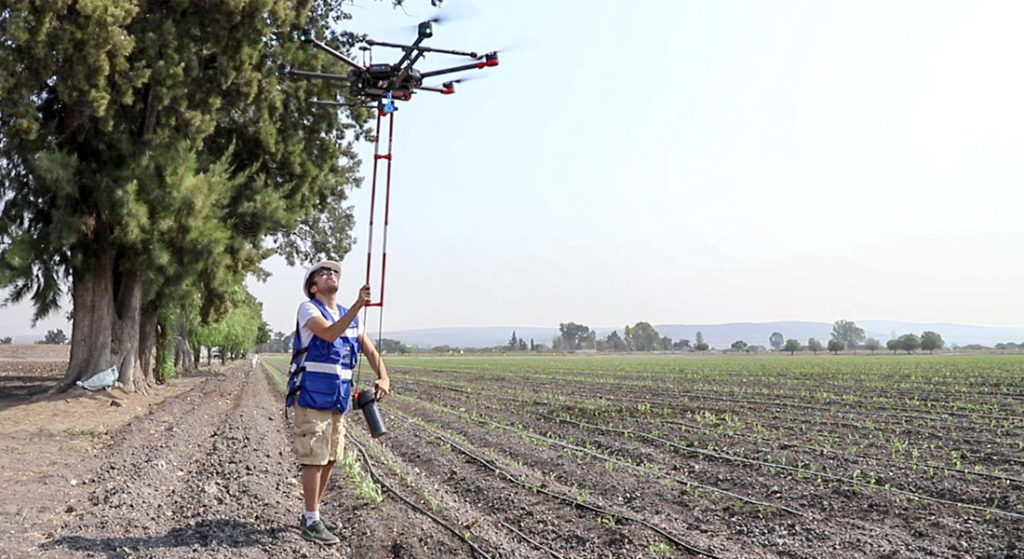
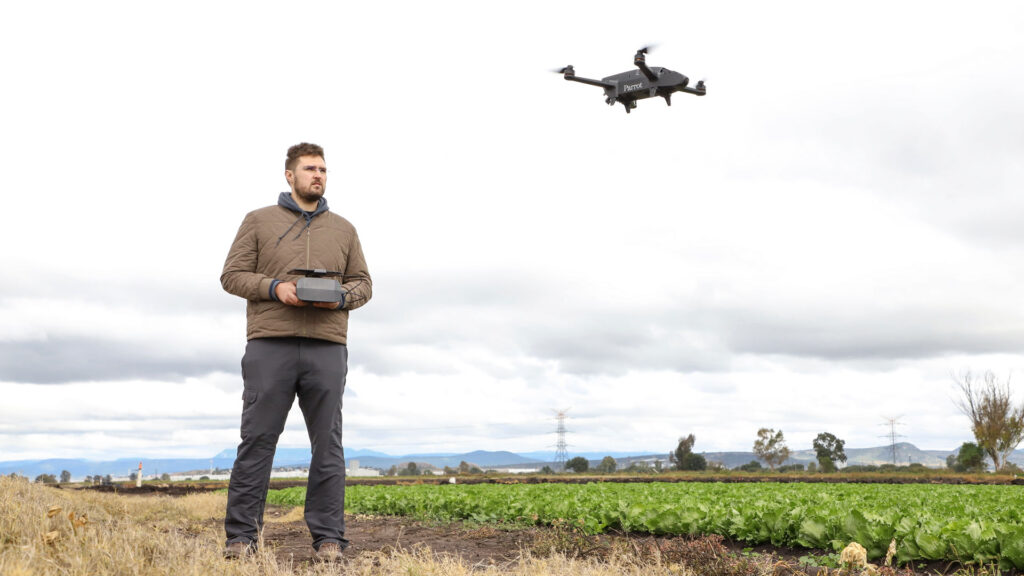
Álvaro Ruíz, Operations Manager at Coatza Drone in Mexico, spoke about the implementation of photogrammetric processes and solutions. For his team, from Ruiz’s perspective, the use of Pix4Dmapper for solar energy issues and Pix4Dfields for agricultural projects has been decisive in delivering results.
DRONE SAR

Mauricio Tapia, Director of DroneSAR in Chile, a non-profit organization that has a presence in different parts of Latin America, spoke about new technologies in emergency response and humanitarian aid. From his experience, the use of drones and software such as Pix4Dmapper, Pix4Dreact and Pix4Dcloud, is radically changing the way we can respond to a natural disaster, specifically to get an immediate perspective of the damage and thus make quick decisions in situations where response time impacts on the ability to save lives.
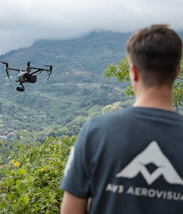
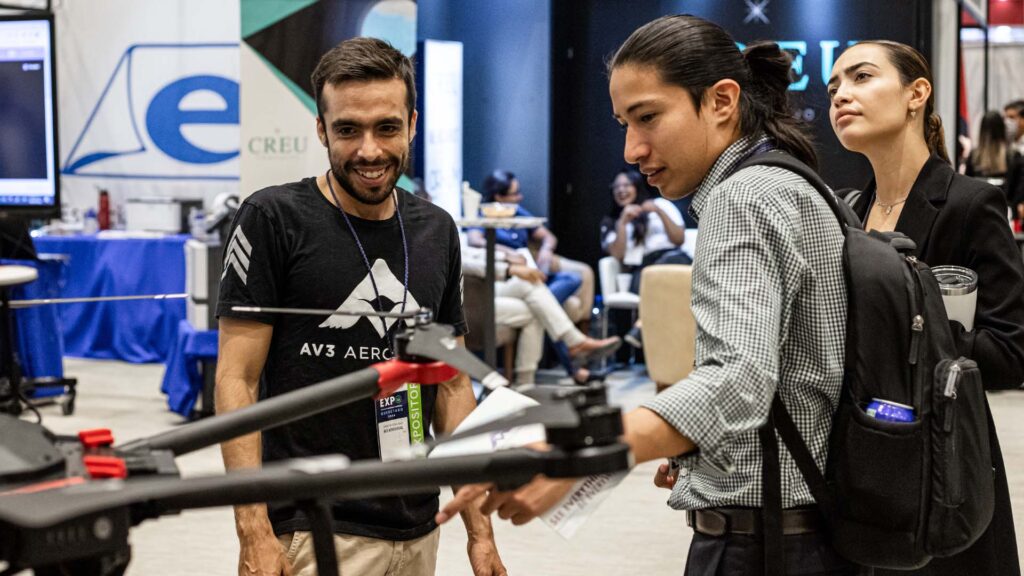
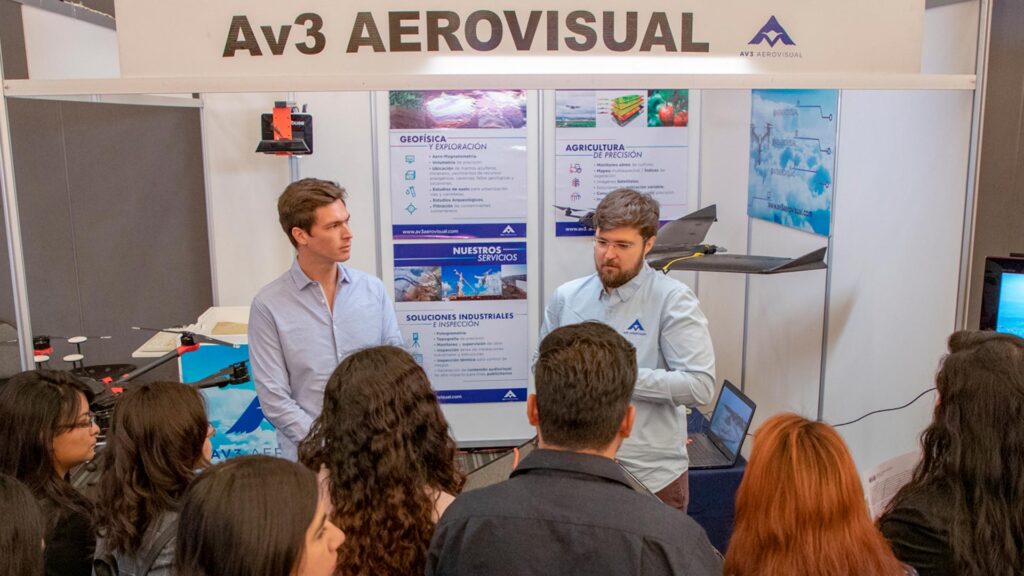
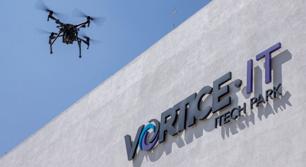
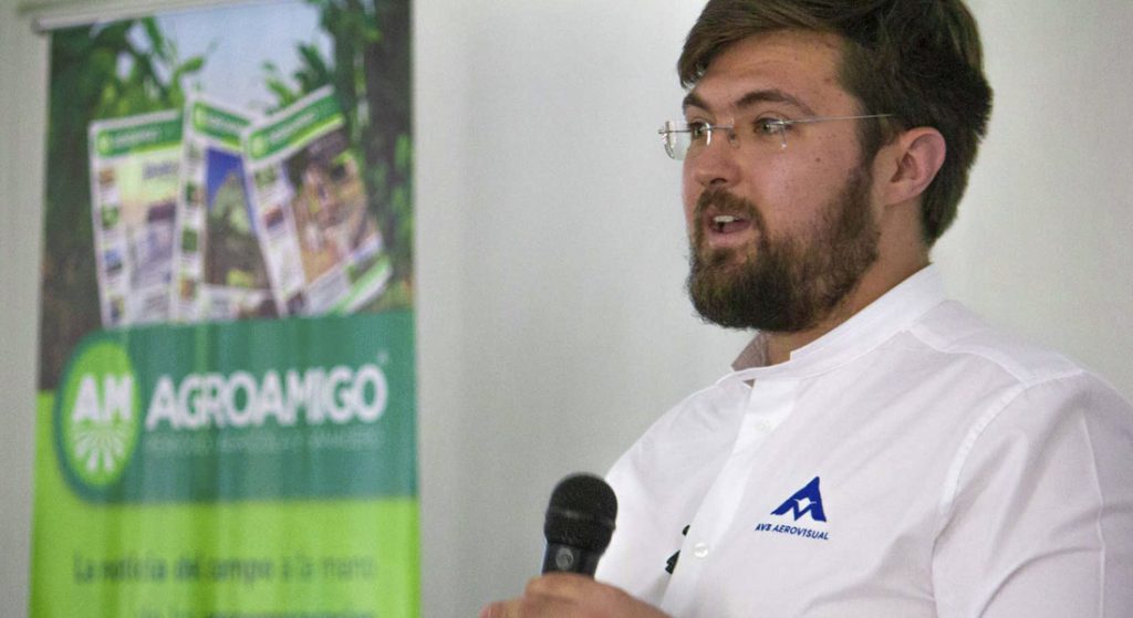
AV3 AEROVISUAL
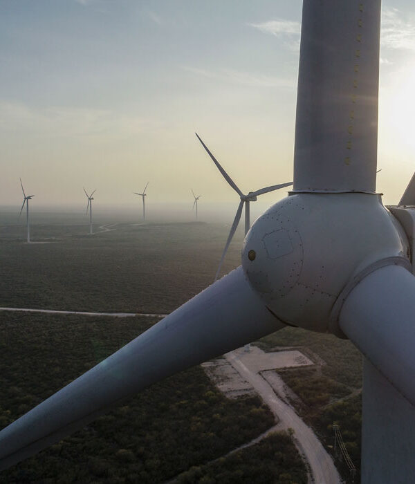
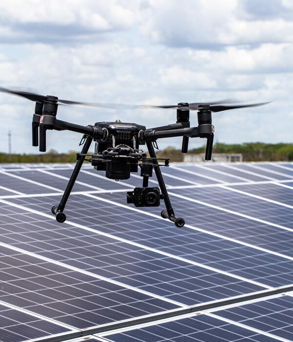
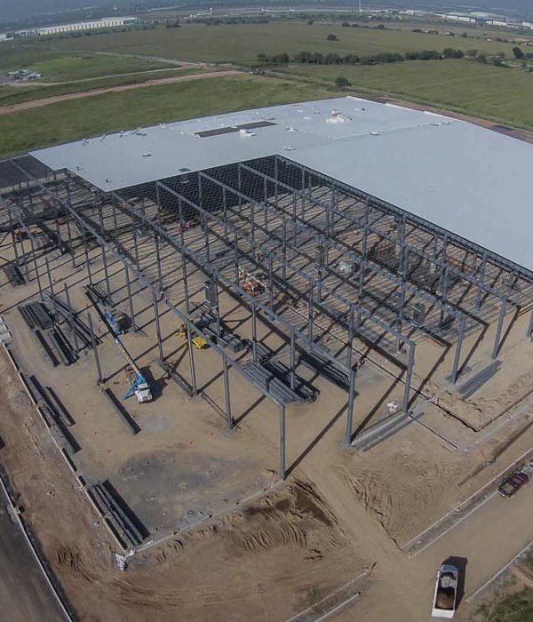
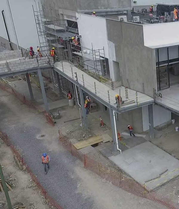
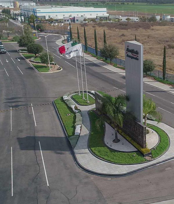
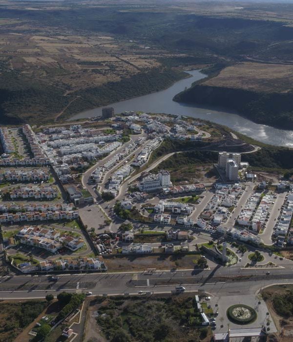
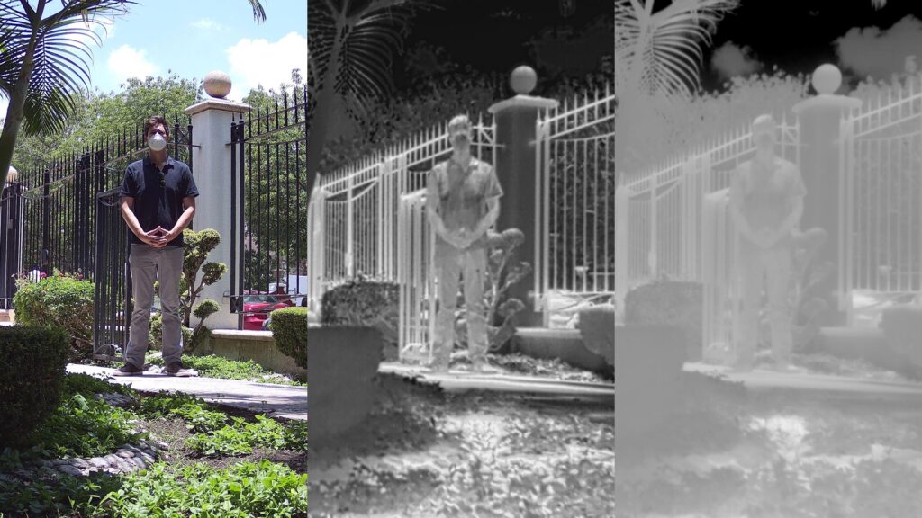
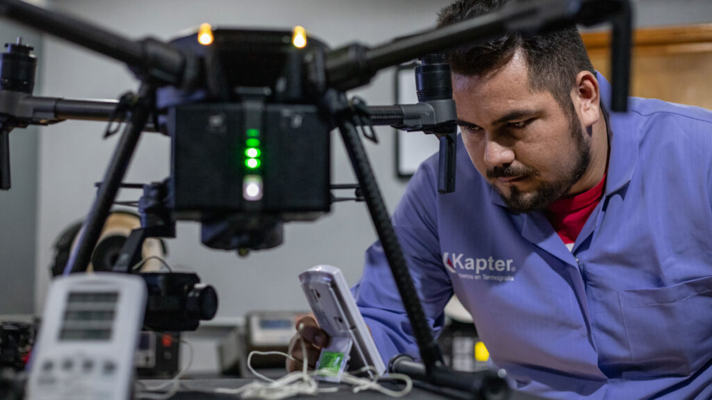
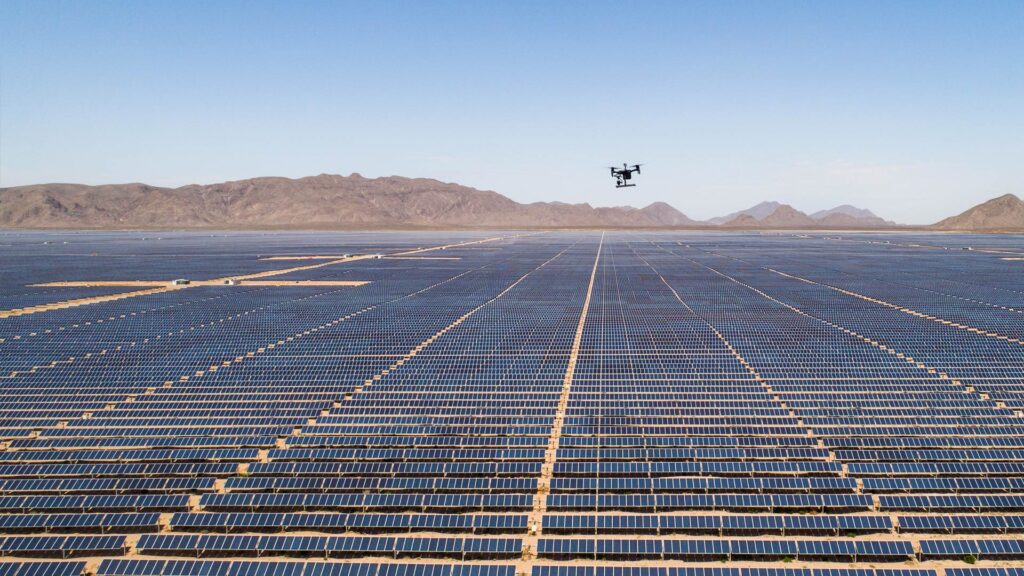
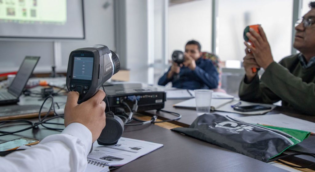
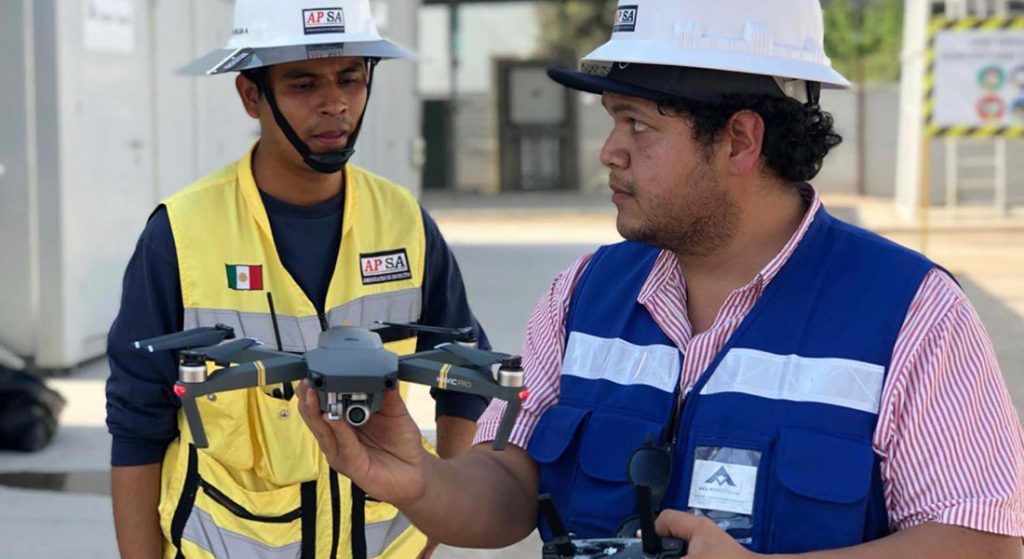
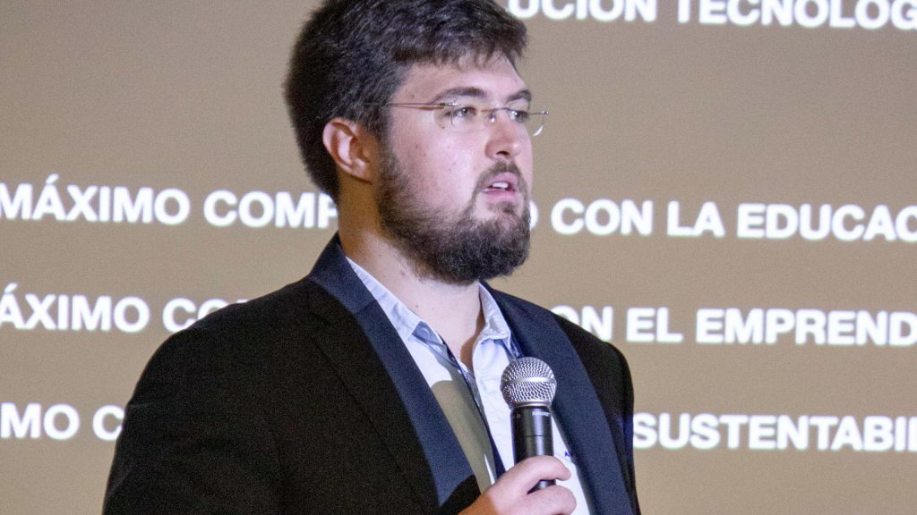
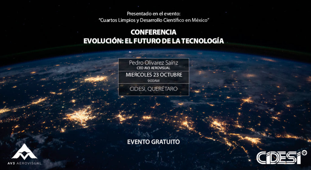
Finally Pedro Olivares Saínz, Commercial Director at AV3 AEROVISUAL in Mexico, spoke about the inspection of large scale industrial assets, which require a lot of precision and capacity for data processing in a short time. In the experience acquired mainly in projects of thermal inspection of solar panels, wind fields, as well as in topographical surveys for mining and urban planning, the automation of processes has been decisive in order to deliver results that provide value and intelligence to the clients. According to Pedro Olivares, the implementation of specialized software such as Pix4Dmatic, Pix4Dmapper, Pix4Dscan and Pix4Dinspect, has made the difference in each one of the operations carried out in the different areas of the company.

At AV3 AEROVISUAL we are proud to be part of Pix4D‘s ambassador program alongside people and projects that are positively impacting both, the industry and different sectors of society. We thank Alejandro Galvis, Senior BDM at Pix4D for the Latin American region, for his enthusiasm and for the invitation to be part of this special edition webinar.