Loading...
Loading...

We participated in the B2B meeting of the first Slovak Trade Mission to Mexico; organized by the Ministry of Economy and the Slovak Trade and Investment Development Agency (SARIO), through the Slovak Embassy in Mexico.
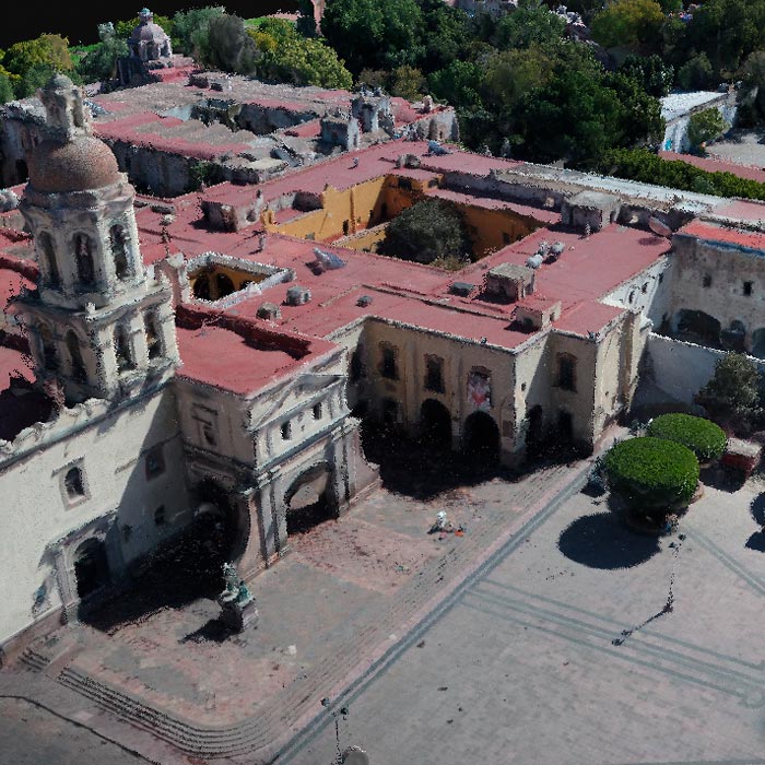
Subsidence study of the Historic Center of Queretaro based on urban microgravimetry, for planning purposes and the conservation of the historic architectural heritage.
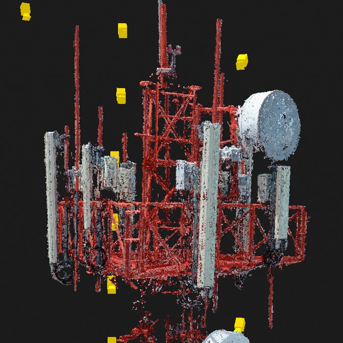
Inspection of telecommunications facilities with drones to optimize maintenance processes. With inspection software, artificial intelligence and certified operators, we deliver valuable information to maximize the capacity and contribute to the transition into 5G technology.
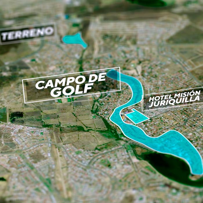
Video production for property and land sales, we create high impact advertising content to highlight the most attractive parts of your property or land.

Industrial Solutions| Industrial Solutions| Industrial Solutions| Industrial Solutions| News
We participated in the webinar on Industrial Process Optimization in Latin America as part of the ambassador program of Pix4D, a leading company in the development of photogrammetry and mapping software with drones.
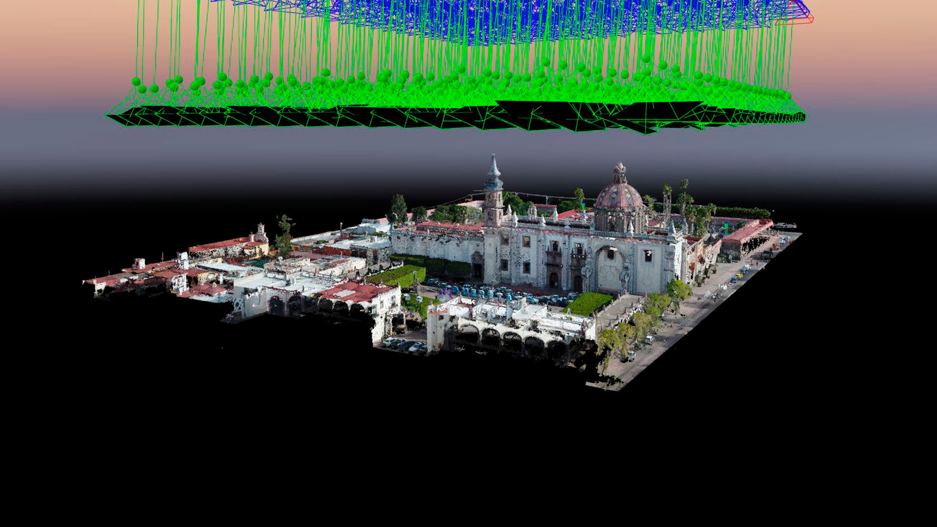
Aerial photogrammetry with drones allows the generation of 2D images, 3D surfaces, and three-dimensional digital models. Photogrammetry has applications in mining, geotechnics, geology, geophysics, civil works, archaeology, among others.