Loading...
Loading...
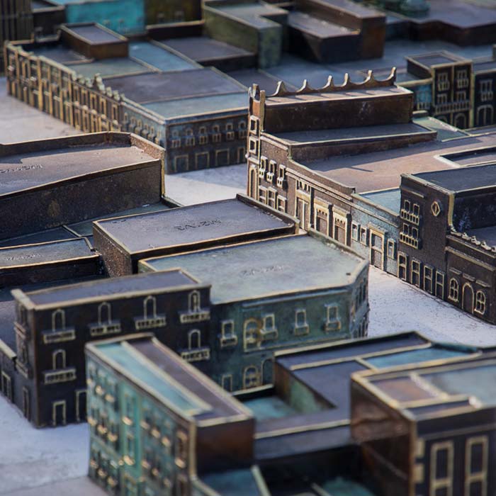
Photogrammetry with drones and stereoscopic image processing to generate 3D models used for the bronze model of the Historic Center of Querétaro.
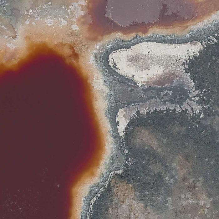
Photogrammetry for digital terrain model generation. Comparison of aerial magnetometry with drones and terrestrial, using microgravimetry and digital terrain model.
Subsidy study at the historical center of querétaro based on urban micro-gravimetry, with the purpose of planning and conservation of the historical-architectural heritage.
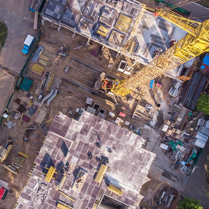
Drone survey, monitoring and mapping services for the construction industry, real estate, urbanism, mining and insurance companies.
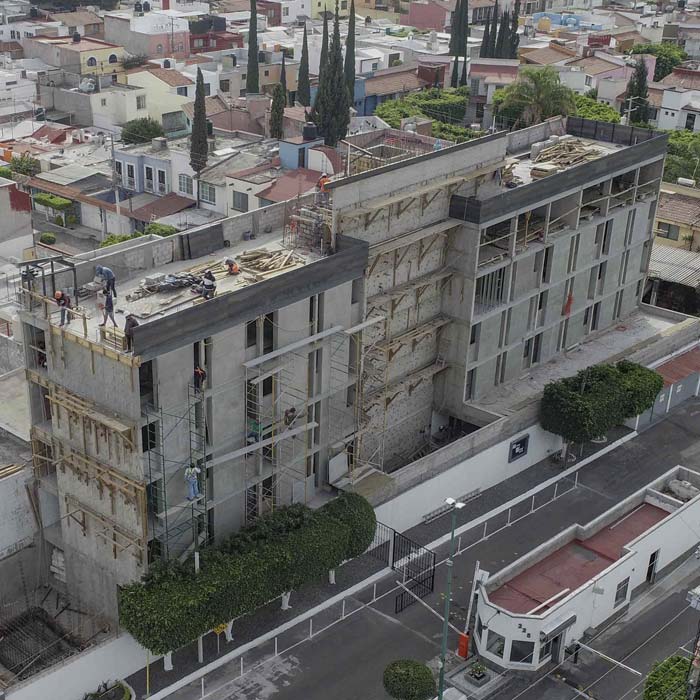
Aerial monitoring with drones for construction – Habitee Urban Dorms Querétaro