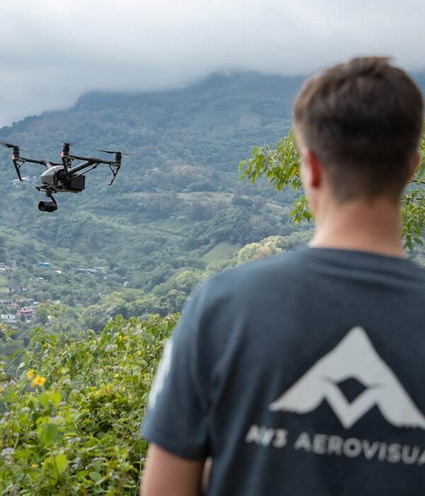


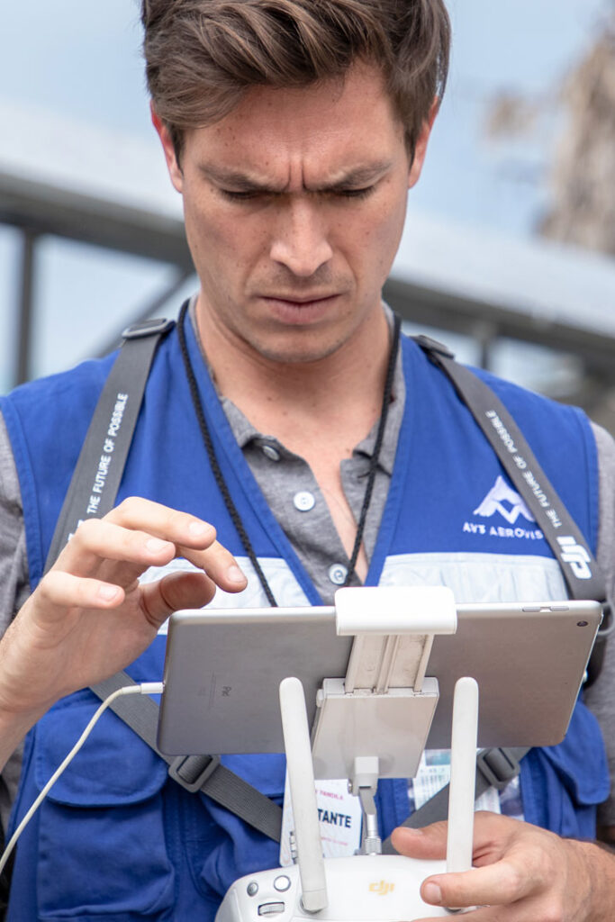

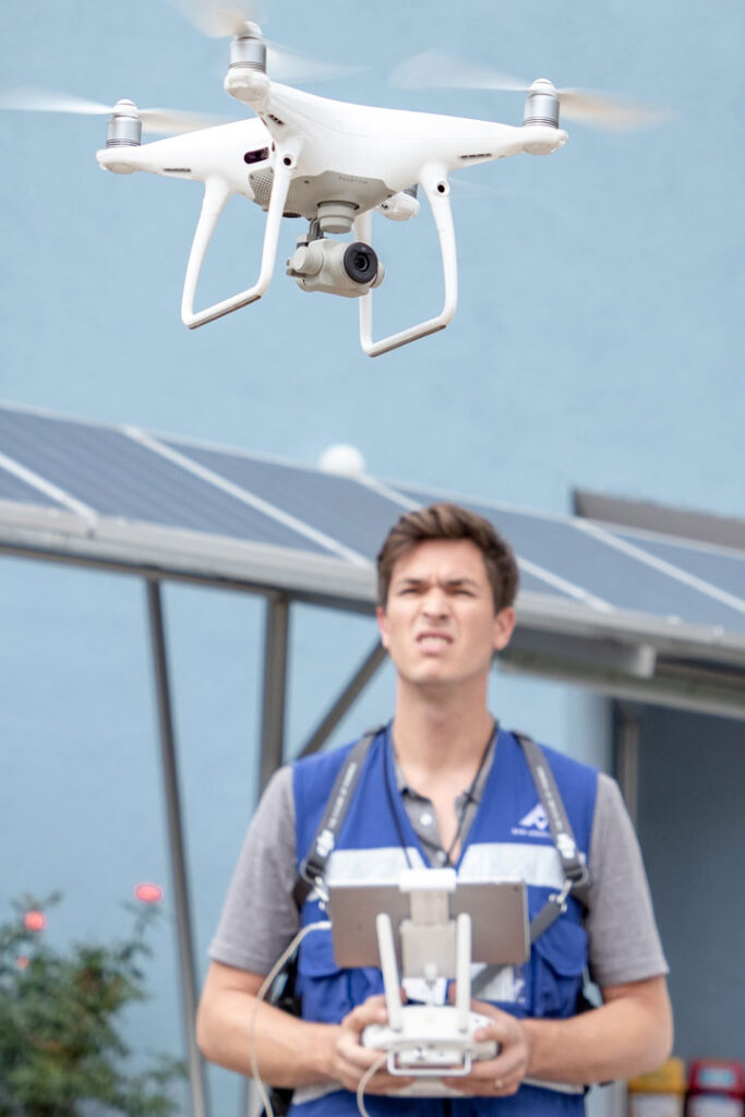

YOUR COMPANY FROM A NEW PERSPECTIVE
In AV3 AEROVISUAL we focus on providing the best industrial applications with drones and the best customer service in the market:
MORE INTELLIGENCE – MORE EFFICIENCY – MORE CONTROL
We help you to find the best solution for your project. We focus on personalized solutions for any type of industry:
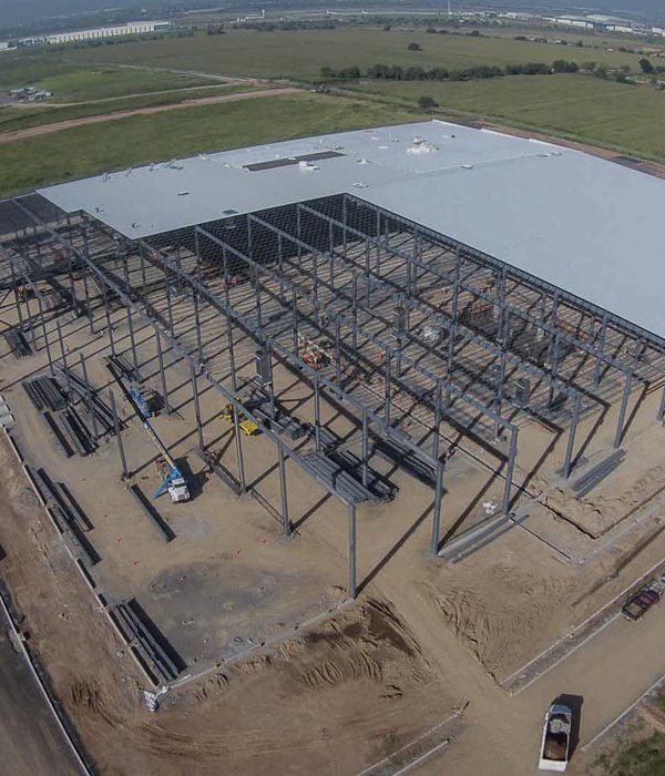
- Construction
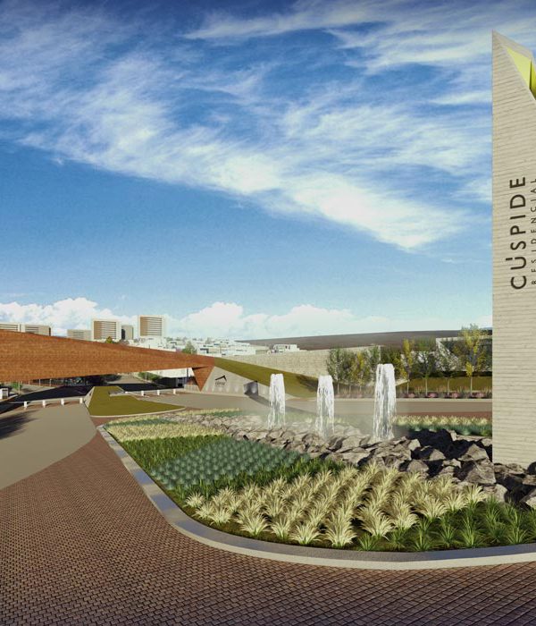
- Architecture
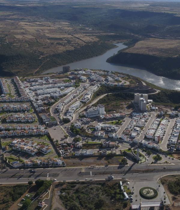
- Real Estate
- Urbanism
- Cadastre
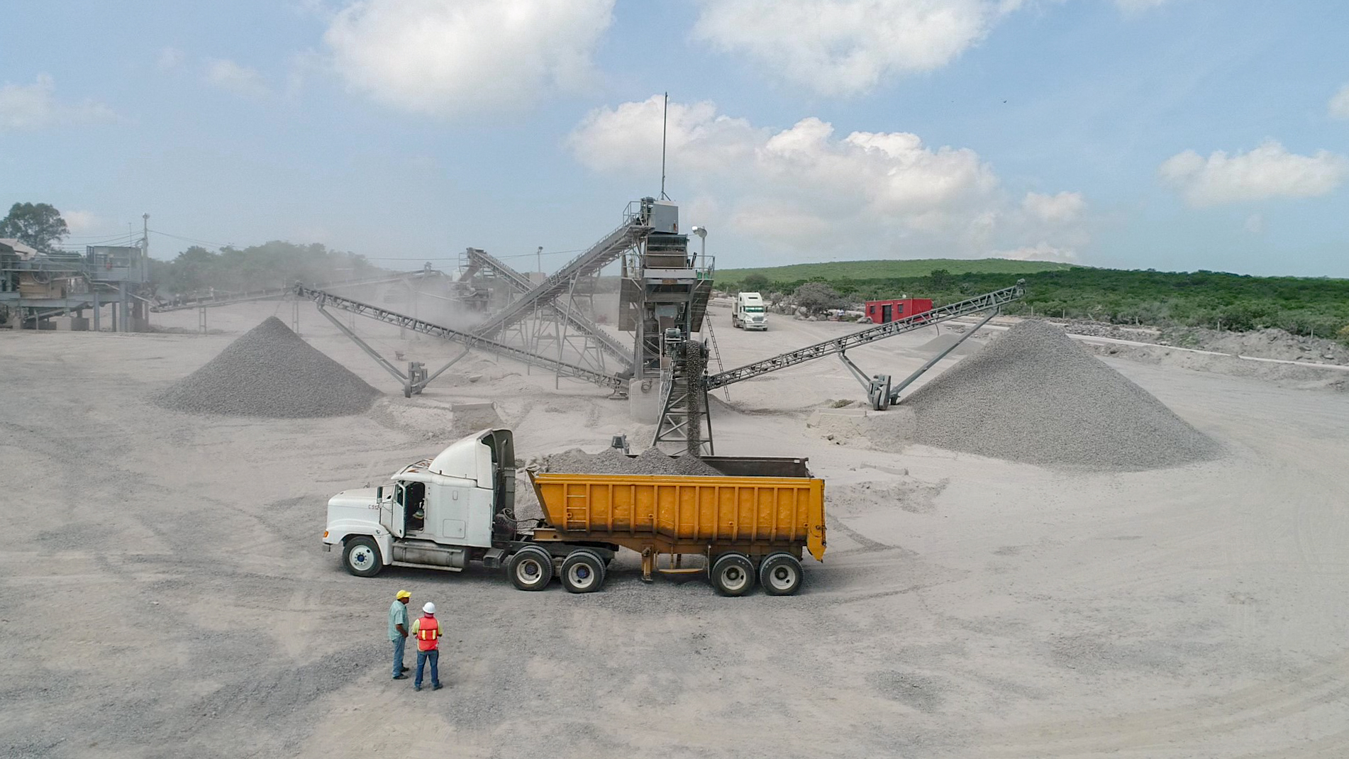
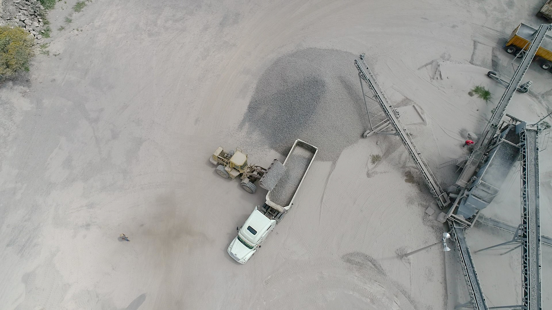
- Mining
- Insurance Companies
- Security
We adjust to any type and size of project.
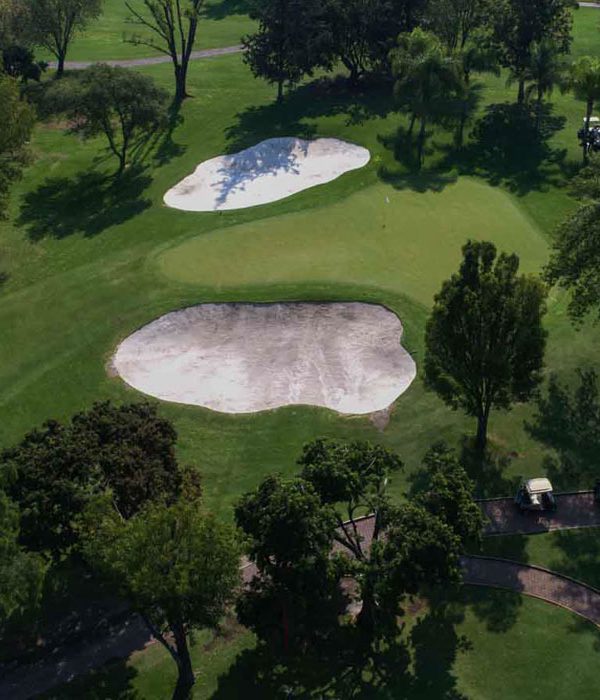
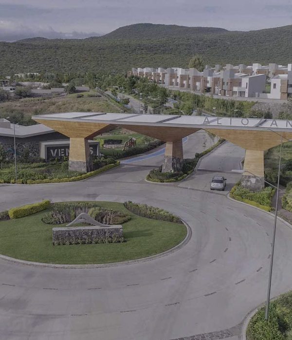
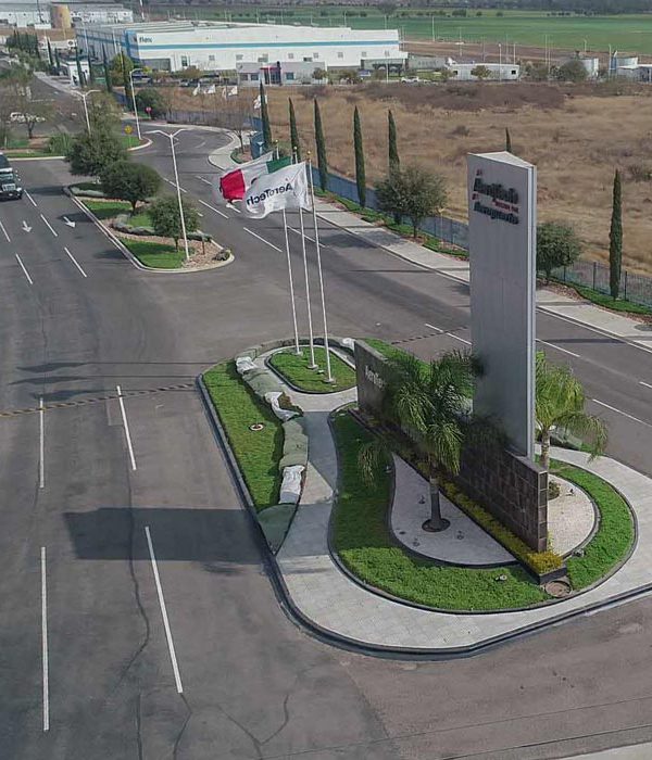
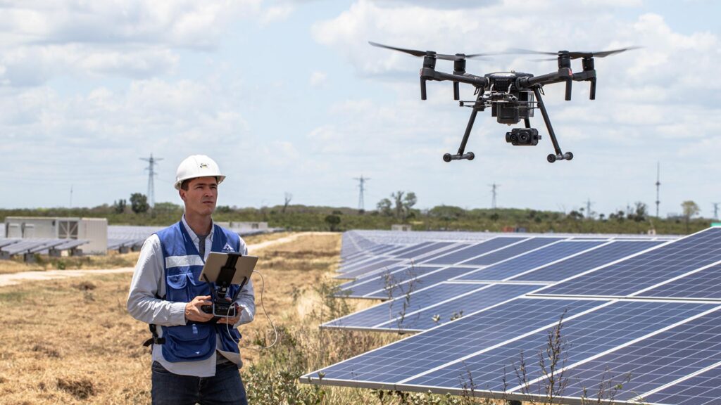
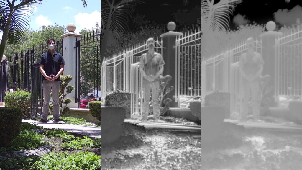
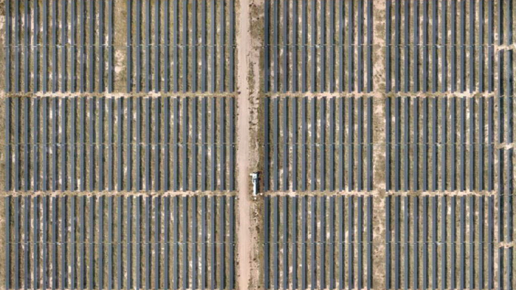
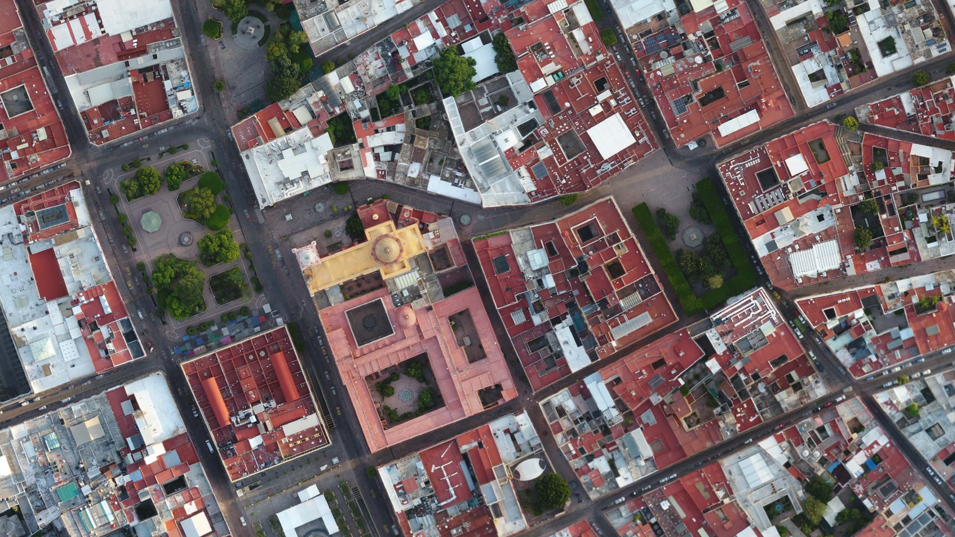
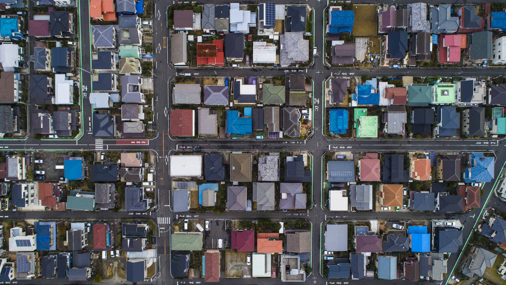
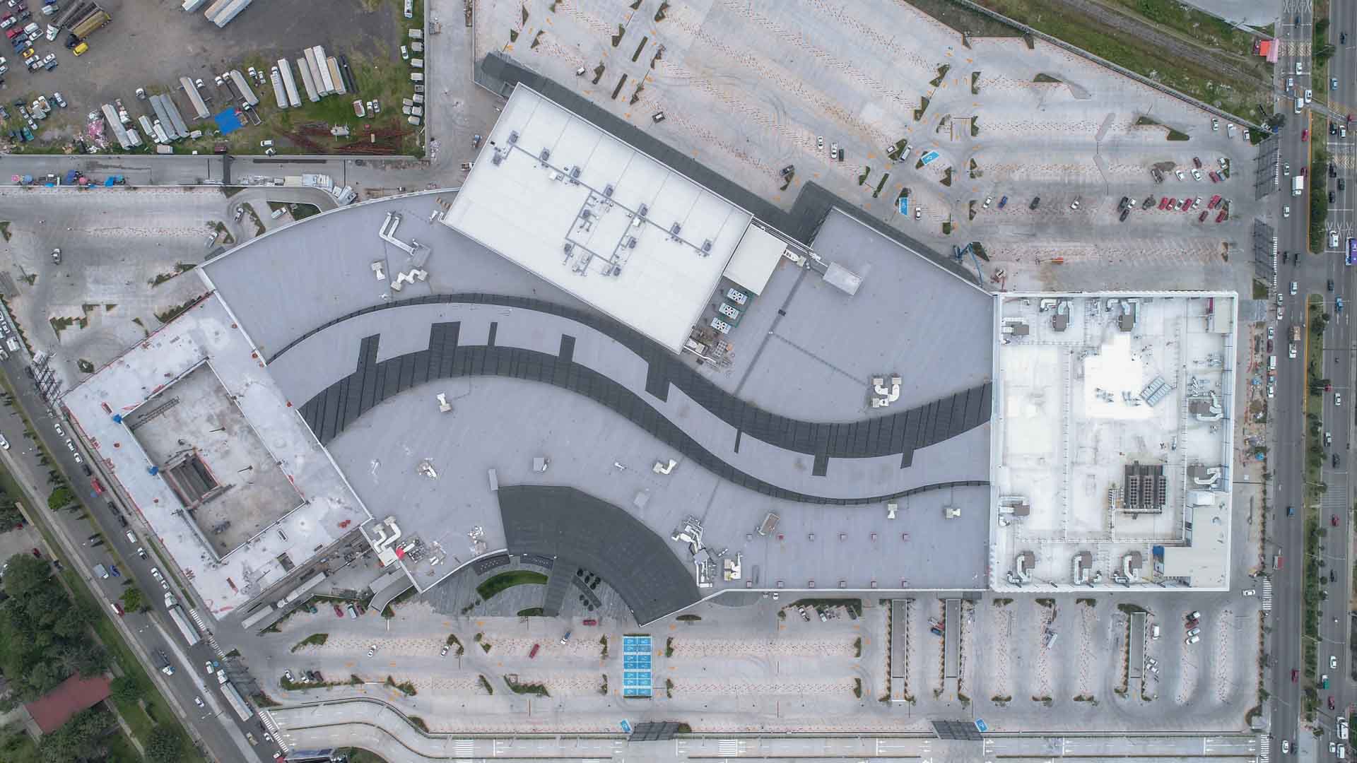
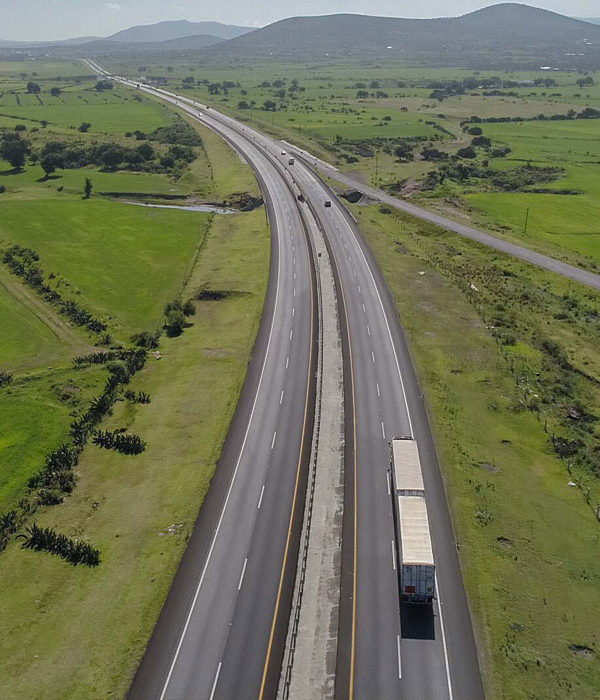
AERIAL PHOTOGRAMMETRY
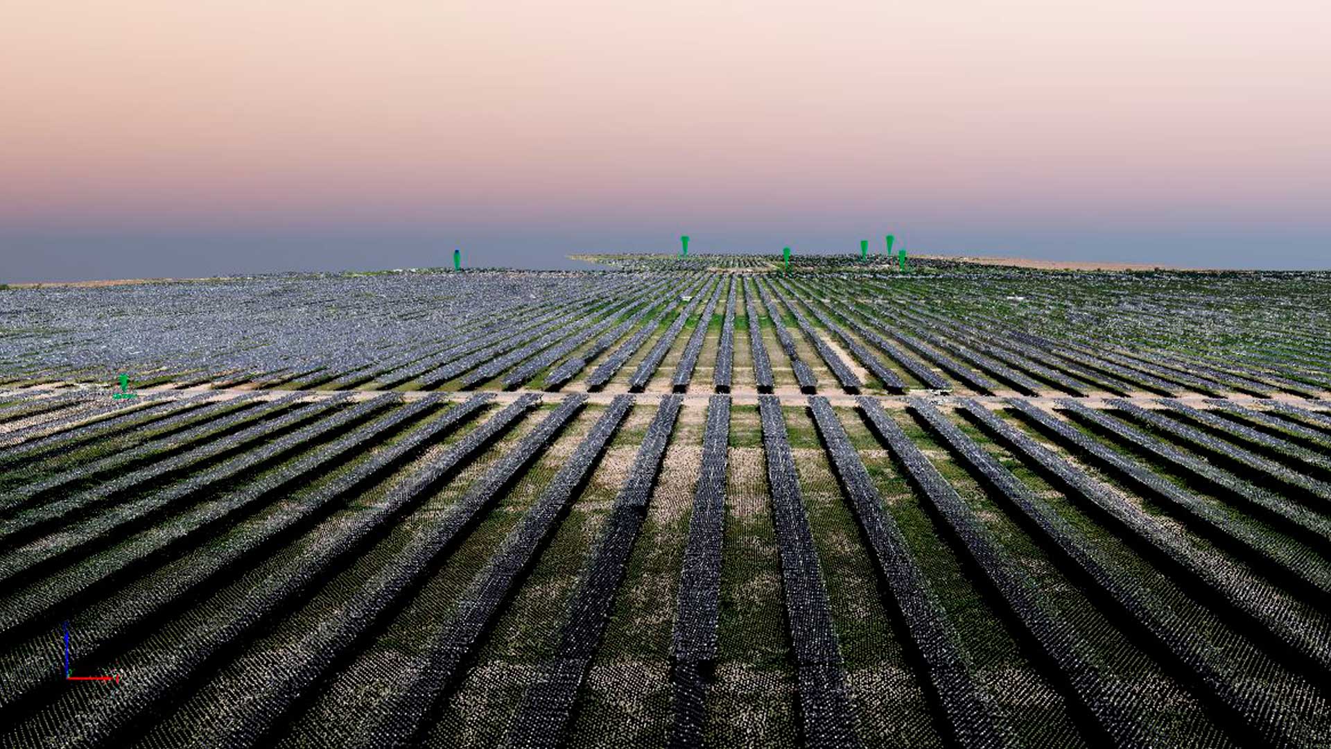
- Obtain orthophotographs and 3D models up to <2 cm/pixel GSD accuracy for areas, volumes and other measurements. Inspect your project or terrain in great detail. Save time and improve your project planning and design processes.
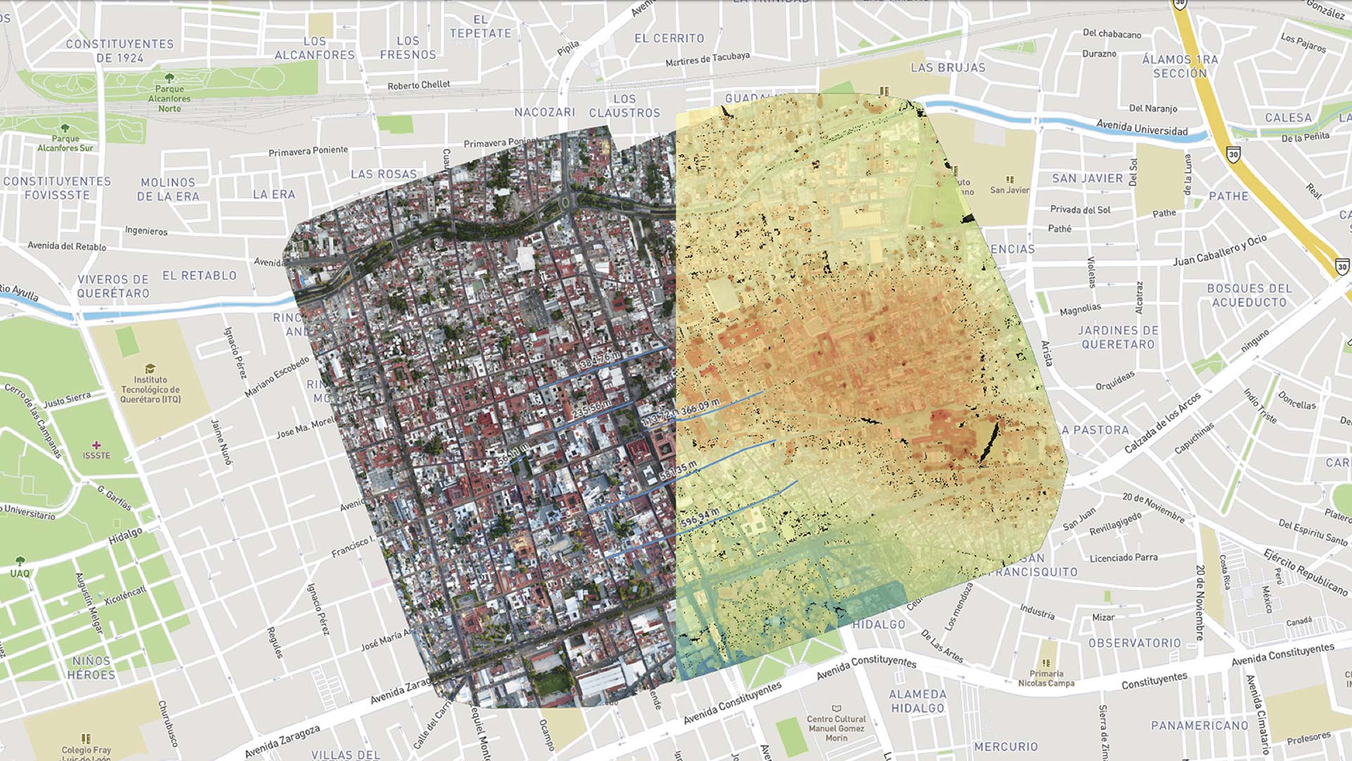
- Get maps and cartographic grade plans up to <2 cm/pixel GSD accuracy for Geographic Information Systems (GIS) projects.
We have solutions focused on CATASTER and URBANISM for the improvement of collection and public administration systems.
- Mapping and surveying of geographical space for development purposes
- Cartography
- Topography
- Updating of cadastral records
- Individual property evaluation
- Delimitation of homogeneous urban areas
- Location and registration of multiple-use real estate
- Density, condition and evolution of buildings
- Territorial Information Surveys through Remote Sensing
- Property location and surveying
- Cadastral cartography elaboration and integration
- Identification of risk areas for various natural phenomena
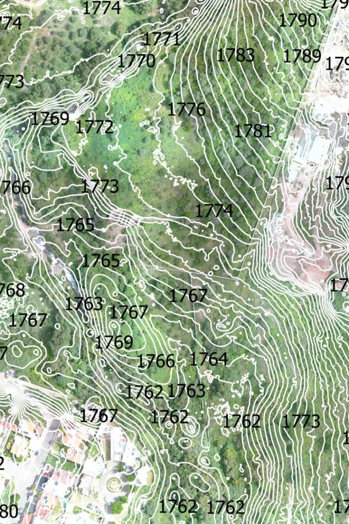
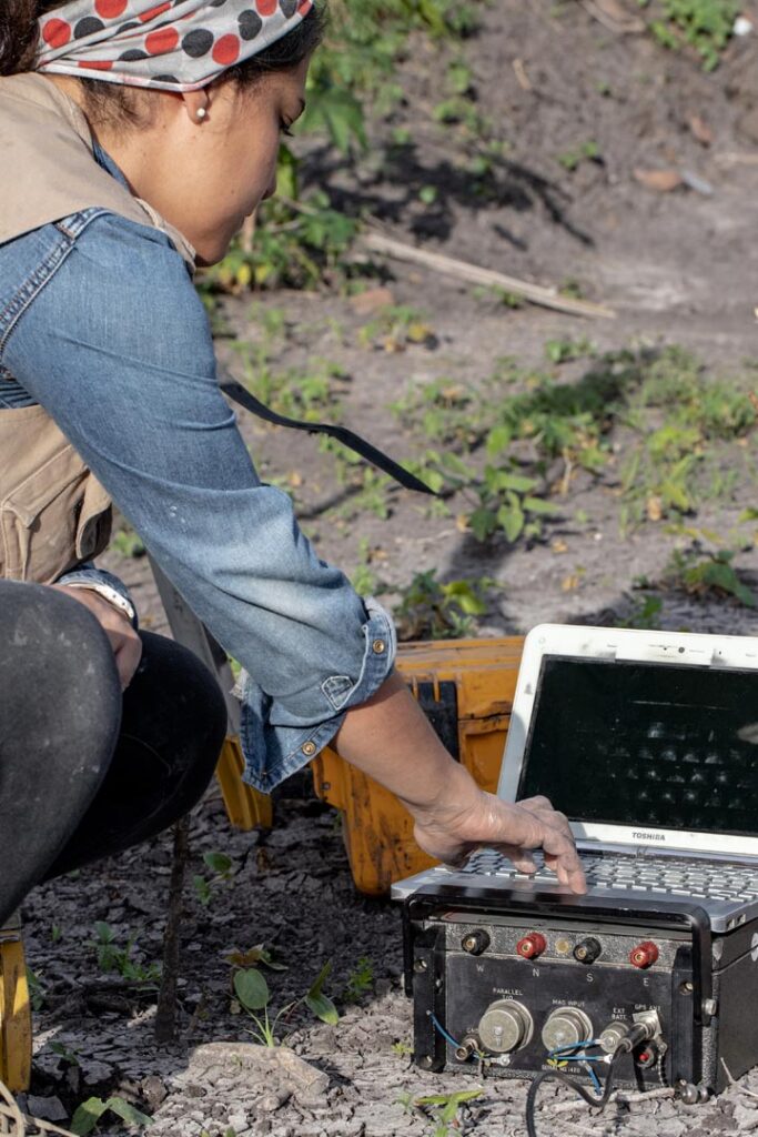
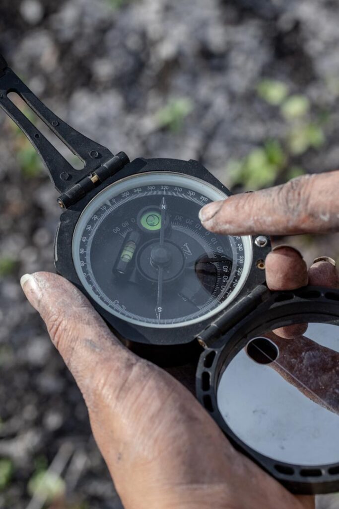
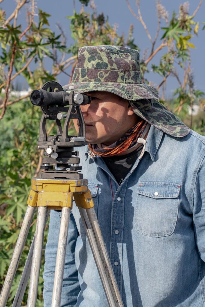
TOPOGRAPHY OF YOUR LAND
- Level curves
- Topographic chart
- Digital terrain model
- Digital surface model
- Altimetry
– Get the demarcation of your project easier and faster than ever. We generate high precision demarcations and we guide you with a qualified professional to review and sign the demarcation for legal or cadastral purposes.
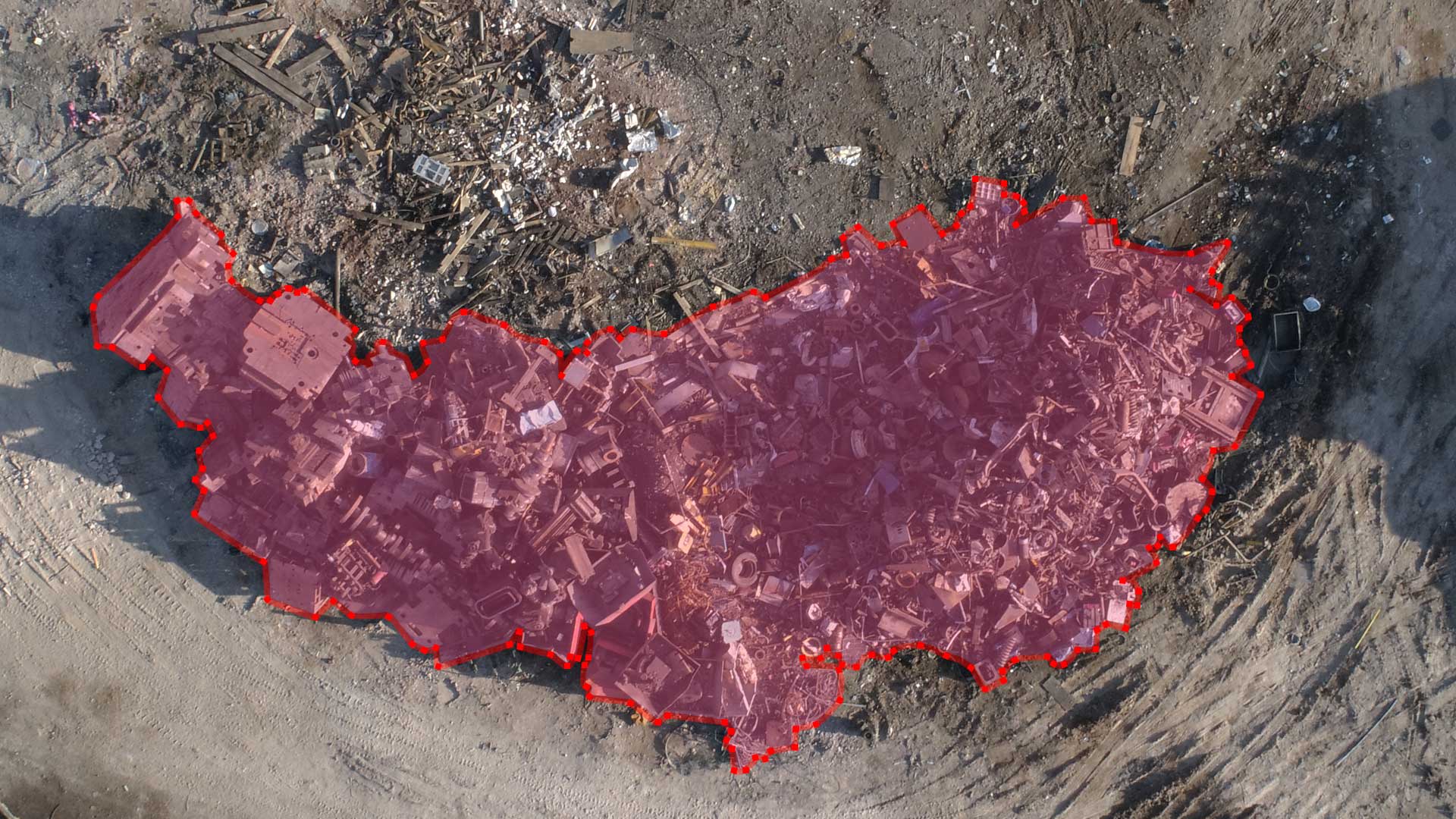
– Obtain volumetric analysis of construction material mounds, subsidence and aggregate exploitation mounds. Taking control of your materials on site has never been so efficient!
DELIVERABLE
- Orthophotographs
- Digital Surface Model (DMS)
- Digital terrain model (DTM)
- Level curves / Planimetry
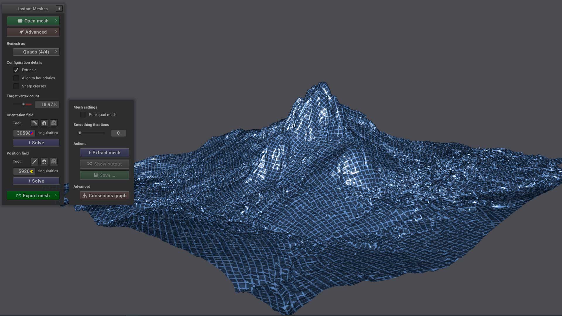
- 3D digital model by photogrammetry
- Stereoscopic photographs
REASONS WHY YOU SHOULD TRY DRONE TOPOGRAPHY
– Greater scope compared to traditional topography.
– Increase of the topographic survey per day.
– Short-term deliveries.
– Cost savings compared to traditional methods.
– Reportes con análisis precisos y de gran valor para el inversionista.
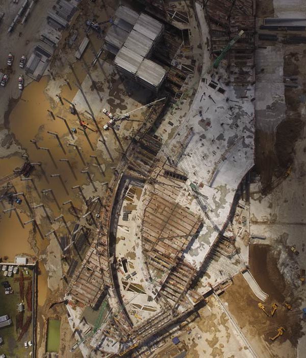
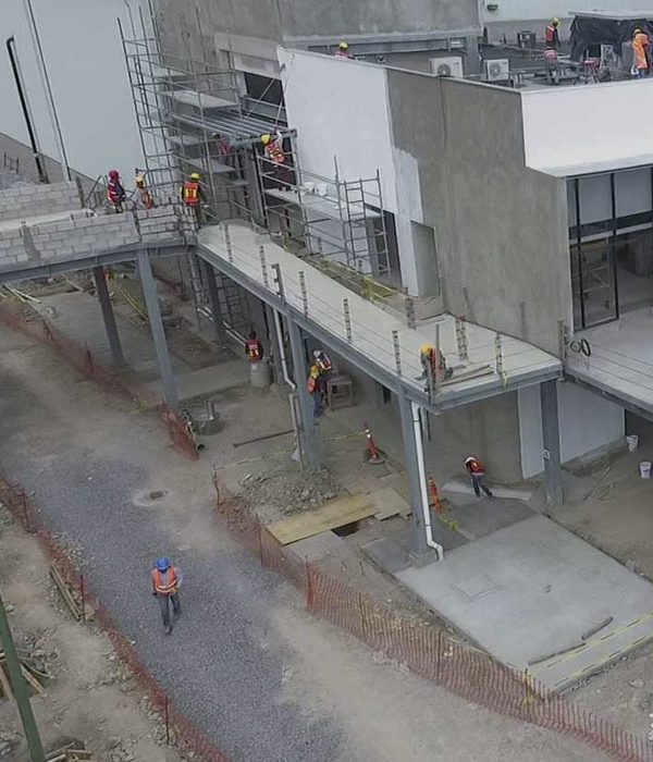
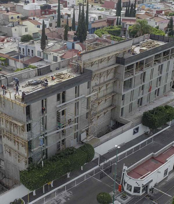
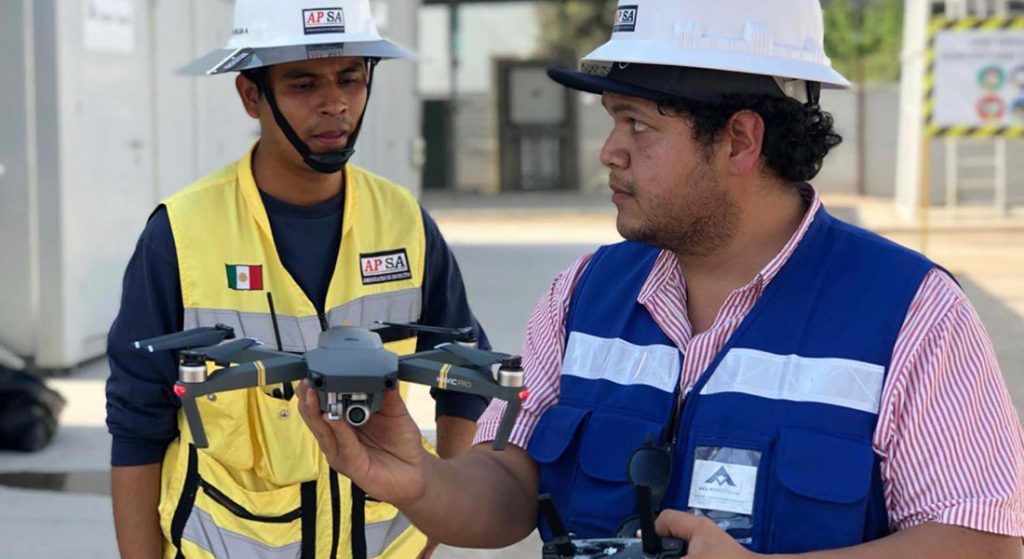
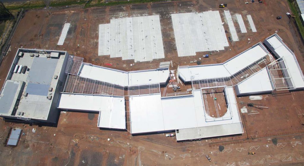
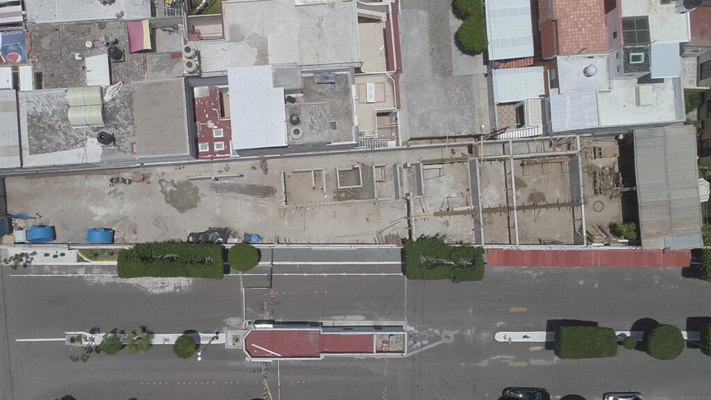
CONSTRUCTION MONITORING
Better management and more control in construction projects:
We offer personalized Construction monitoring packages focused on photo registration and photogrammetry to increase site control and complement BIM resources.
- Chronological aerial photography and video
- Timelapse points 24/7 without cutting off the total duration of the project
- Chronological 360º aerial photography
- Chronological photogrammetry surveys
- Delivery of 1 full video edition upon completion of the project
- Delivery of photographic catalog upon completion of the project
- Aerial photography and video surveys on previously designated dates
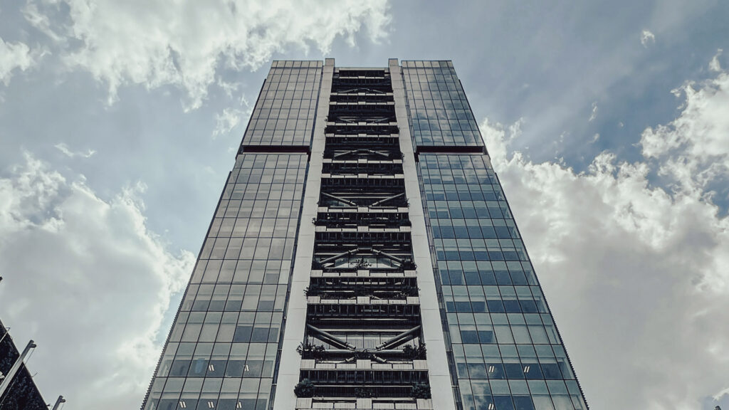
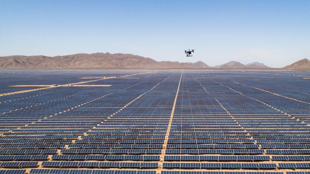
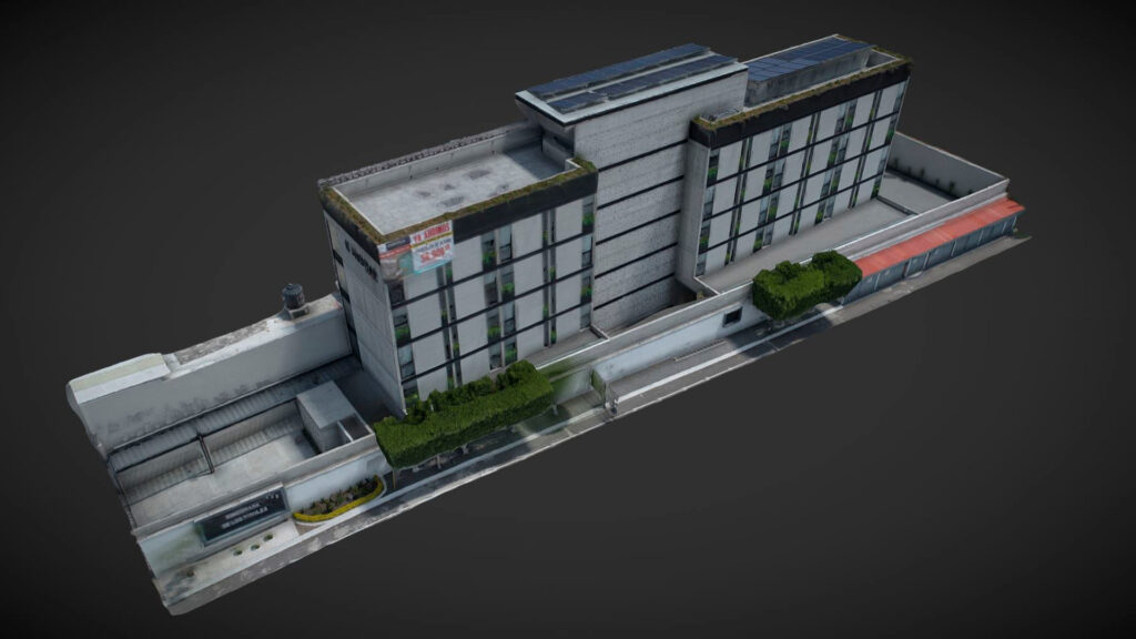
LARGE-SCALE 3D MODELING
- Get 3D models up to <2 cm/pixel of GSD accuracy of any construction, urban area or structure.
- Generate an accurate and reliable 3D testimony of any event, contingency or natural disaster for risk assessment and insurance.
- Use accurate 3D models for virtual tours or construction of virtual scenarios.
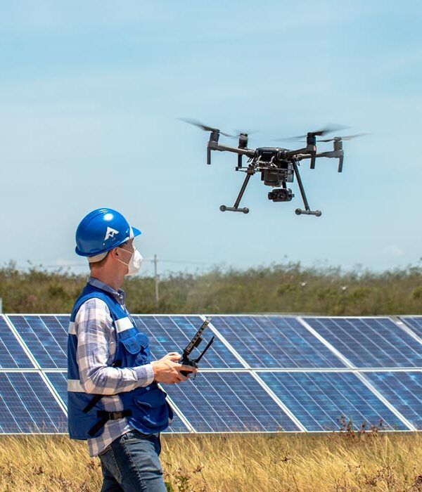
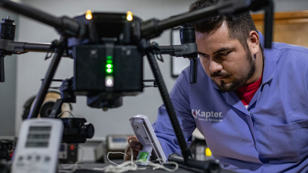
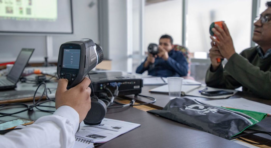
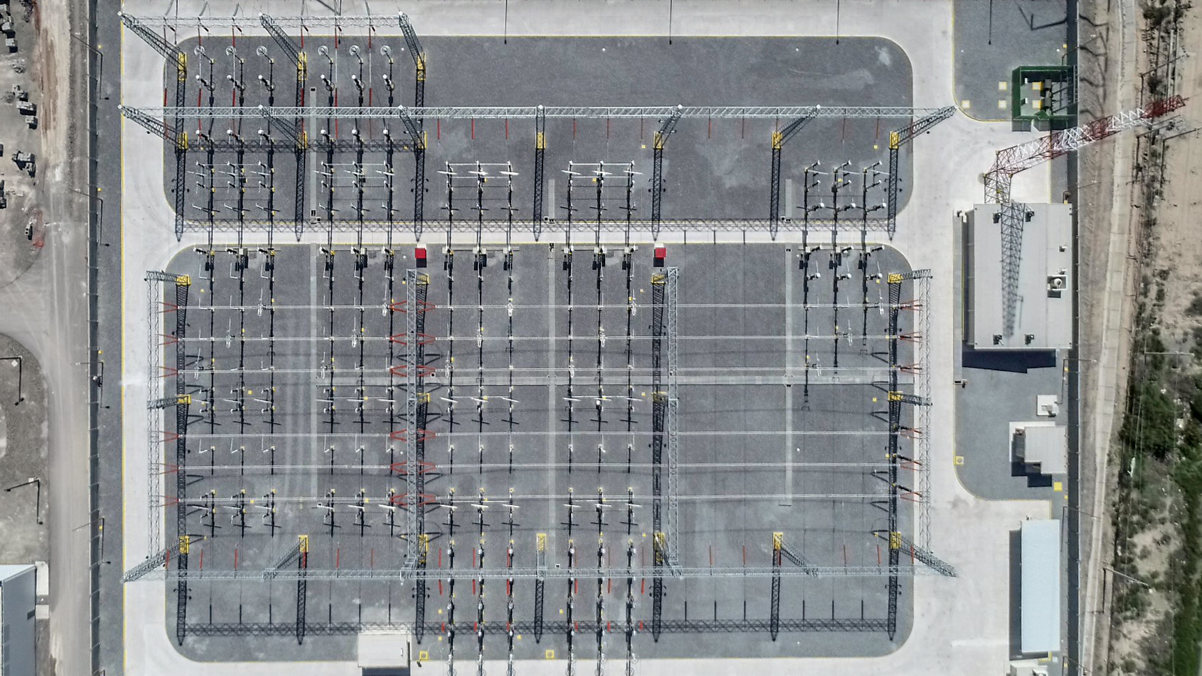
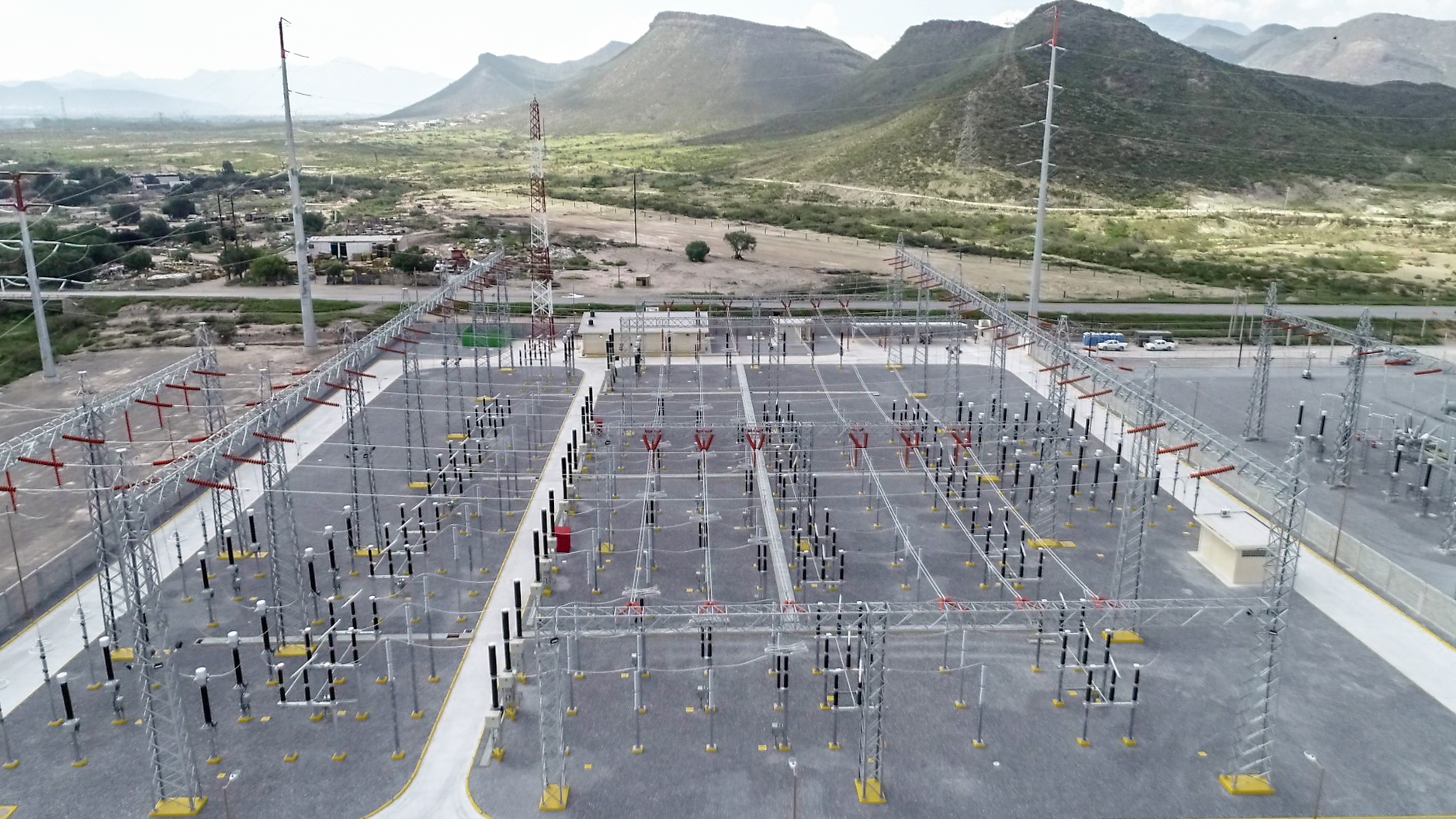
FACILITIES AND STRUCTURES SURVEYS
- Get a detailed view of places that are difficult to access faster and easier than ever before.
- With aerial photography and high definition video you will be able to optimize your inspection and control processes.
- Generate a testimonial record of your project before and after any work, construction or contingency for maintenance or insurance purposes.
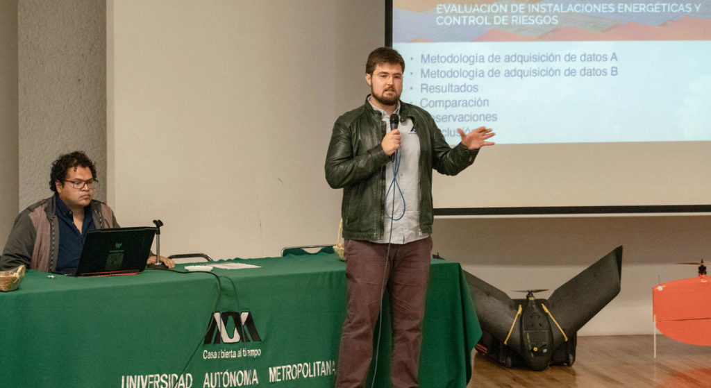
All our services are for immediate implementation. We will come to your facilities, perform the service and deliver the results.
Contact us, together we will find the best option to meet your needs.