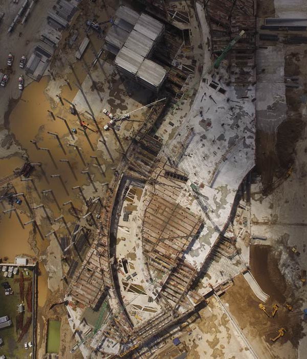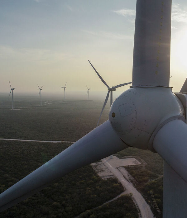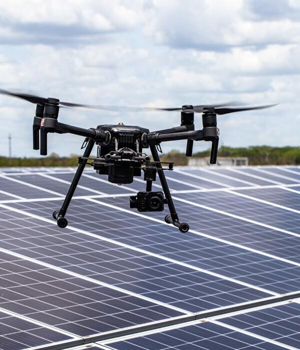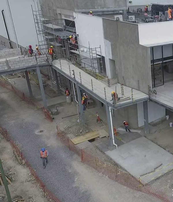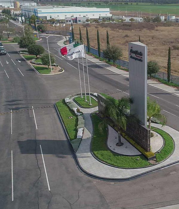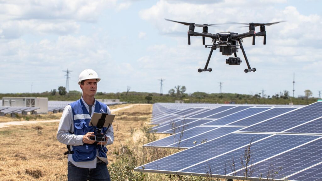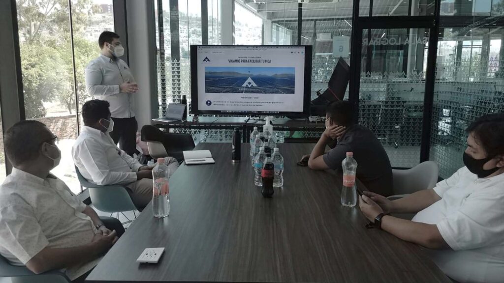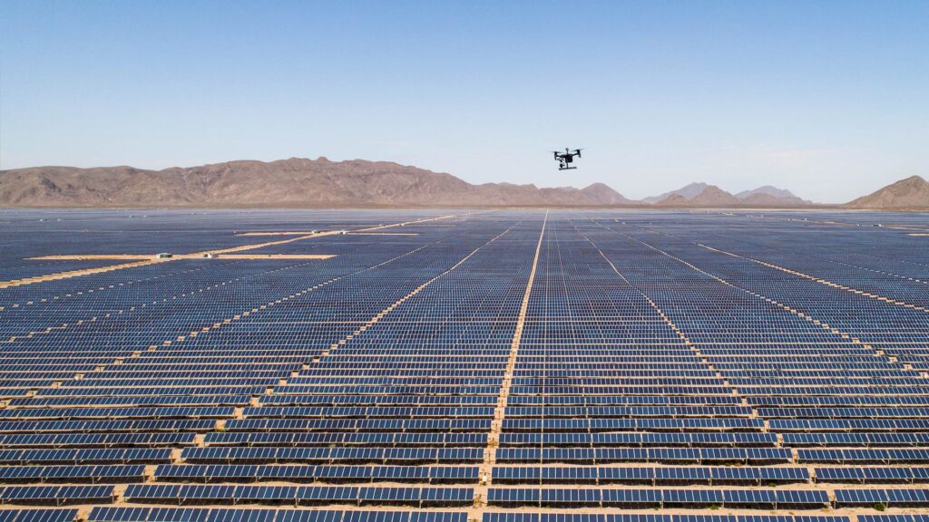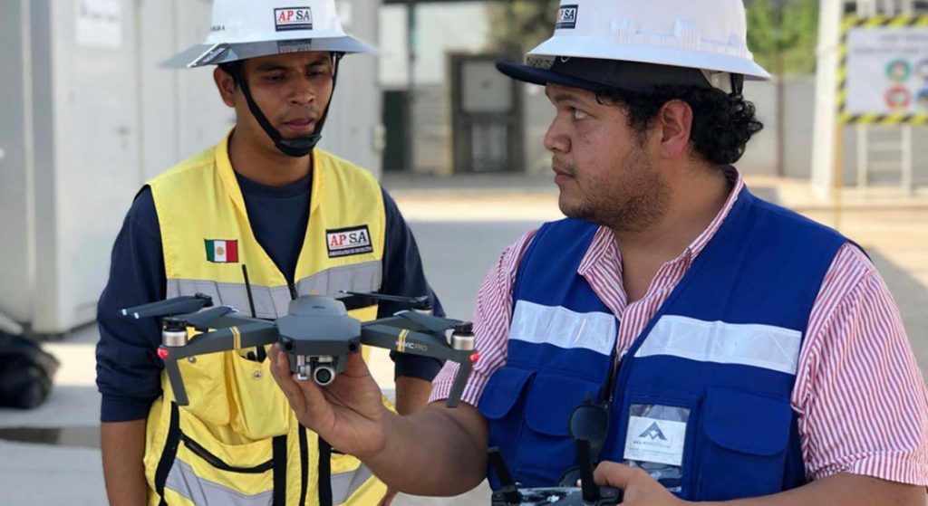
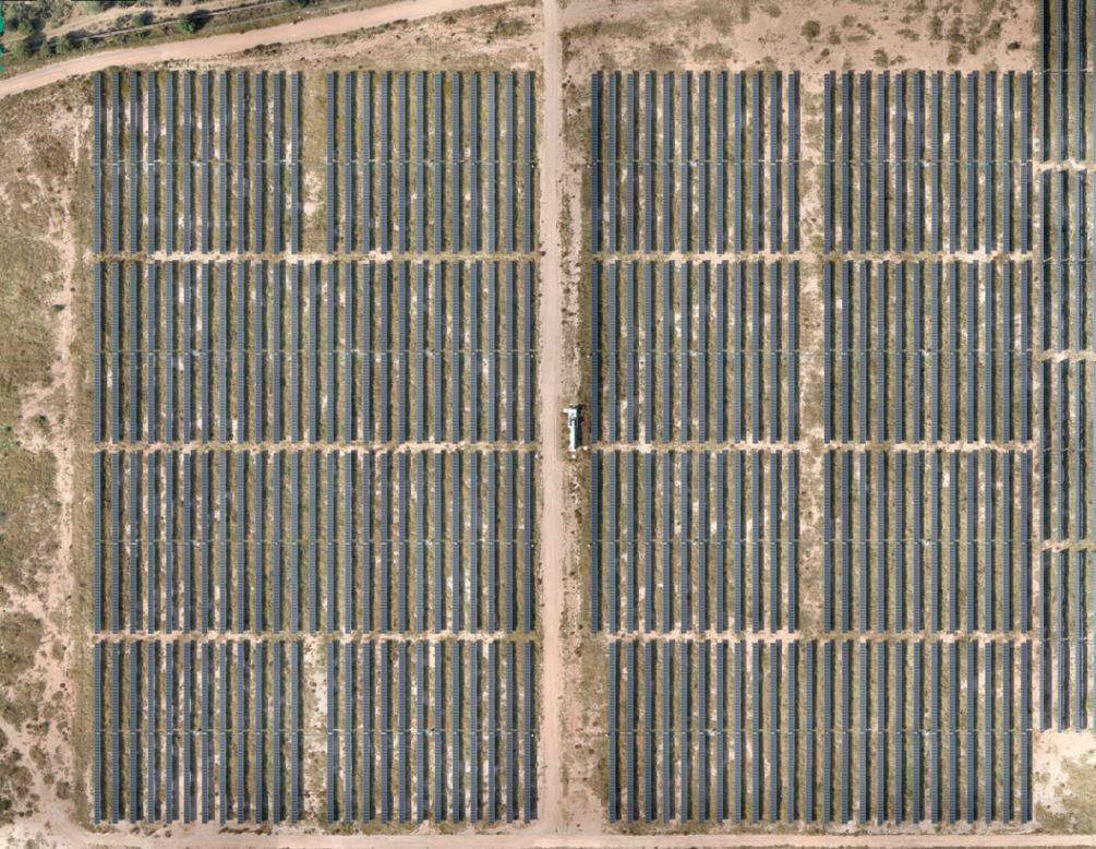
We recently worked on the generation of RGB ortho-maps for the Santiago Solar photovoltaic park in San Luis Potosi. We also performed the thermographic inspection with drones of the solar panels of the park. This inspection represents 232 megawatts in an area of 460 hectares, which is considered the largest plant of the Spanish company Iberdrola in the world.
The customer uses these orthomosaics to incorporate it into the thermal inspection made with drones and as a general map of the plant of centimeter precision.
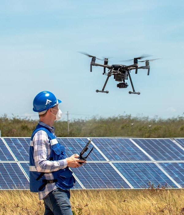
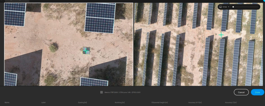
One of the main challenges for the execution of these operations; is the proper data acquisition, both thermal and RGB, to generate the orthomosaic. For the inspection, it is required that the solar panels are in a completely horizontal position and receiving the necessary amount of radiation for such inspection; in addition, all data is acquired using high precision geolocation systems RTK (Real Time Kinetics).
In this project we generated 56 centimeter-precise orthomaps with 700 photos per process; that is a total of 39,200 images processed using Pix4Dmatic, one of the latest and most powerful software of Pix4D suite.
Pix4Dmatic FOR PROCESSING LARGE QUANTITIES OF IMAGES
We use Pix4D tools because this software has proven to do the job well and in less time, in addition to having excellent customer service globally. This time we decided to give Pix4Dmatic the opportunity as we needed to make the processing faster than usual and with maximum precision. Throughout the project we realized the main advantage of Pix4Dmatic, compared to Pix4Dmapper, is that the image processing is done very quickly. However, Pix4Dmapper allows for more adjustments and calibrations, which can be important for the optimization of the cameras in some projects.
According to the user experience of our Chief Operations Officer, Engineer Erick Tovar Castillo, Pix4Dmatic’s interface is more user-friendly and intuitive compared to Pix4Dmapper, since as its name indicates it is almost automatic, from the addition of the datasets to the assignment of control points. In addition, he considered that the processing time in Pix4Dmatic can be reduced by almost half compared to Pix4Dmapper.
It is worth mentioning that so far we have only processed datasets in Pix4Dmatic for the generation of orthomaps of more than 650 images, which were taken with a Phantom 4 Pro v2 drone using GCPs Propeller Aeropoints. In our experience Pix4Dmapper takes approximately 6 hours and Pix4Dmatic 4 hours, using an 8-core computer, 32gb RAM and GTX 980.
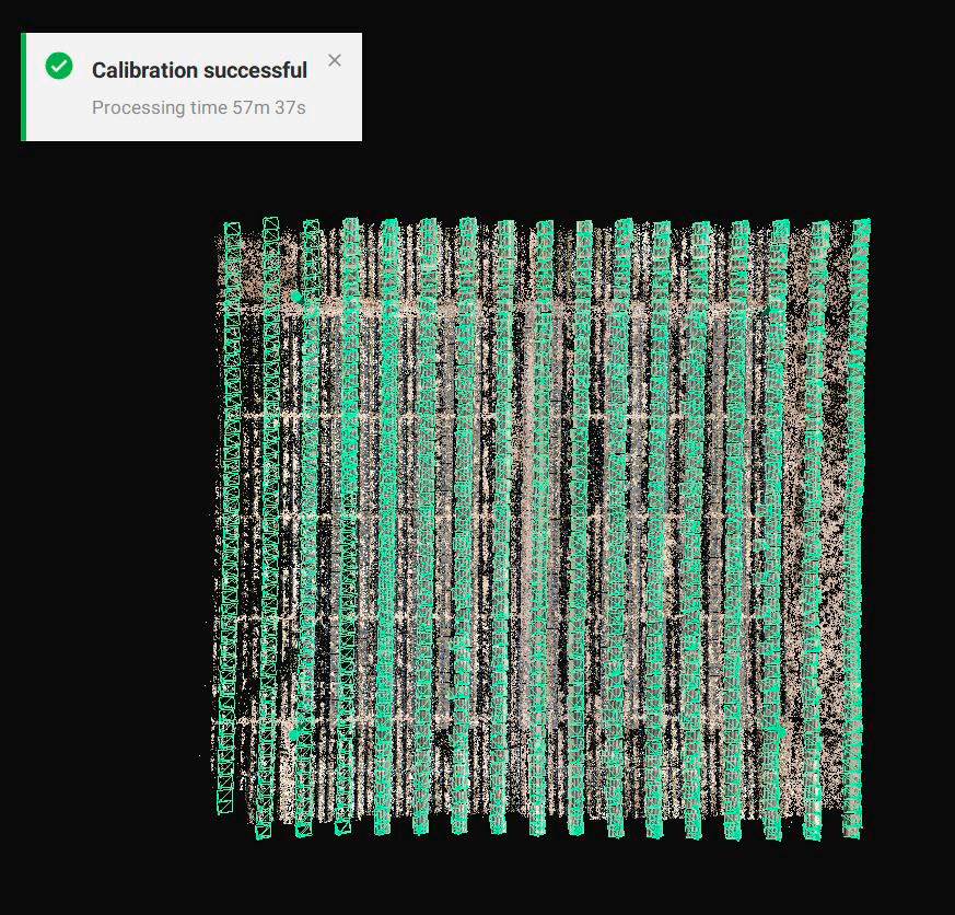
In conclusion and in the opinion of our Chief Operations Officer, Pix4Dmatic seems to be an ideal platform for users with little experience in the use of these technologies and who need to process a large number of images; its interface and use is more intuitive, although there are parameters that can be adjusted for more experienced users.