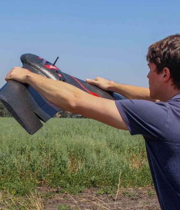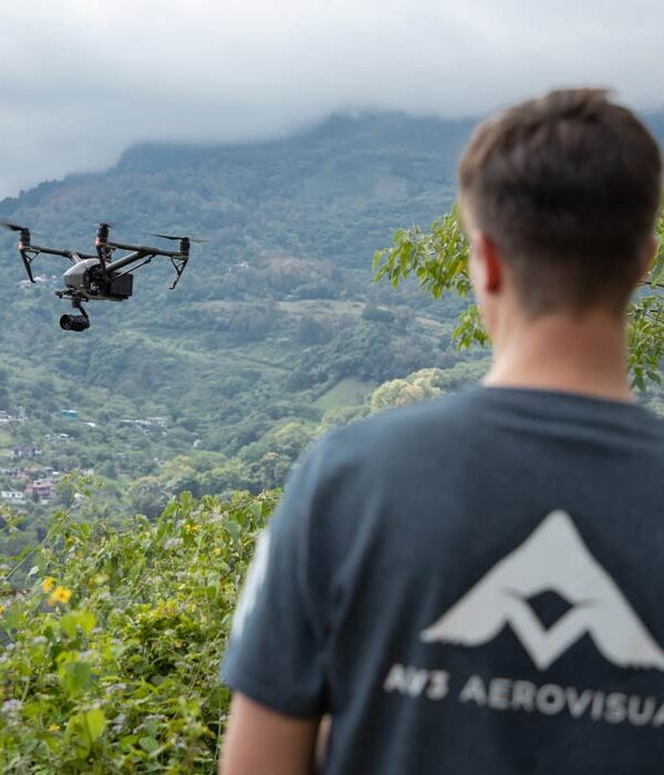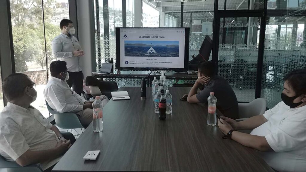
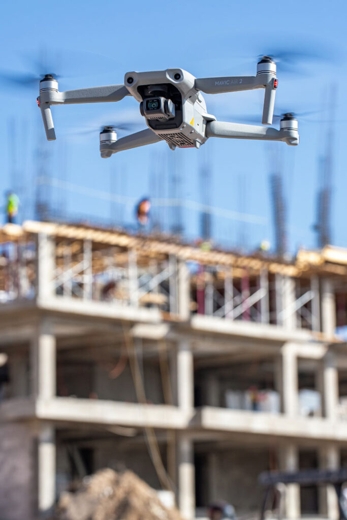
Aerial inspection with drones is an activity that is being implemented in practically all industrial areas that require some type of visual inspection in the process of their maintenance or operation. By using a drone, valuable qualitative and quantitative information can be collected from an asset, or a location of difficult access, making the inspection safe and efficient.
What is a visual inspection and why is it important?
A visual inspection is an intensive checkup of some or all parts of an asset. The objective of a visual inspection depends on the nature of both; the asset to be checkup and the inspection; however, in general terms, it is a checkup to prevent, detect or correct some type of problem.
Aerial inspection with drones allows taking high resolution images and video that serve as the “eyes” in the inspection. In this case, the photos and video collected can be studied, analyzed and stored to keep a detailed control of the inspections; this can even bring greater savings by analyzing and using the information.
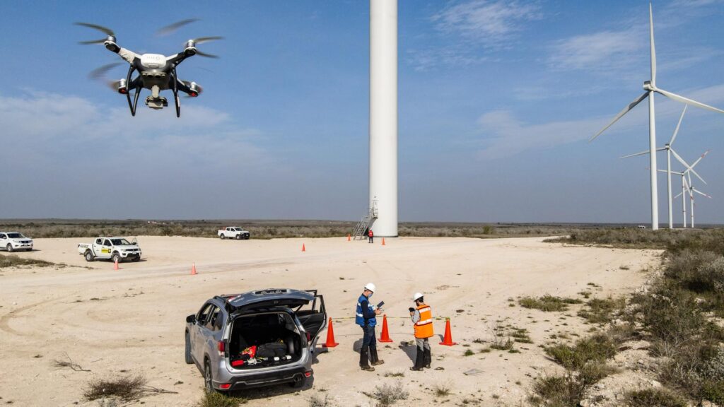
Usually, in order to detect a fault in an electric tower, a wind turbine or in the external facilities of an industrial warehouse, trained people who naturally run risk when carrying out inspections, are required to use ladders, cranes or scaffolding. By using drones, the inspection is much safer and accidents and other mishaps can be avoided.
Aerial inspection and monitoring with drones without a doubt, arouses much interest within the industry. Some of the most relevant aerial drone inspections are:
- Aerial inspection of telecommunication towers.
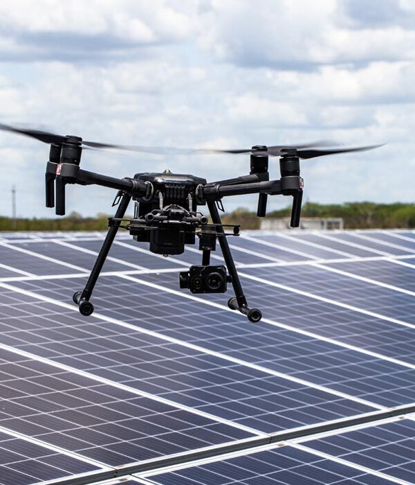
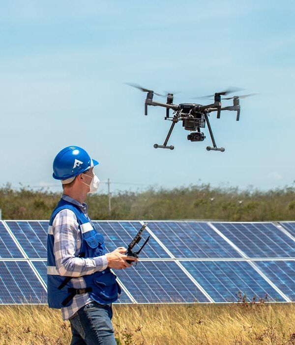
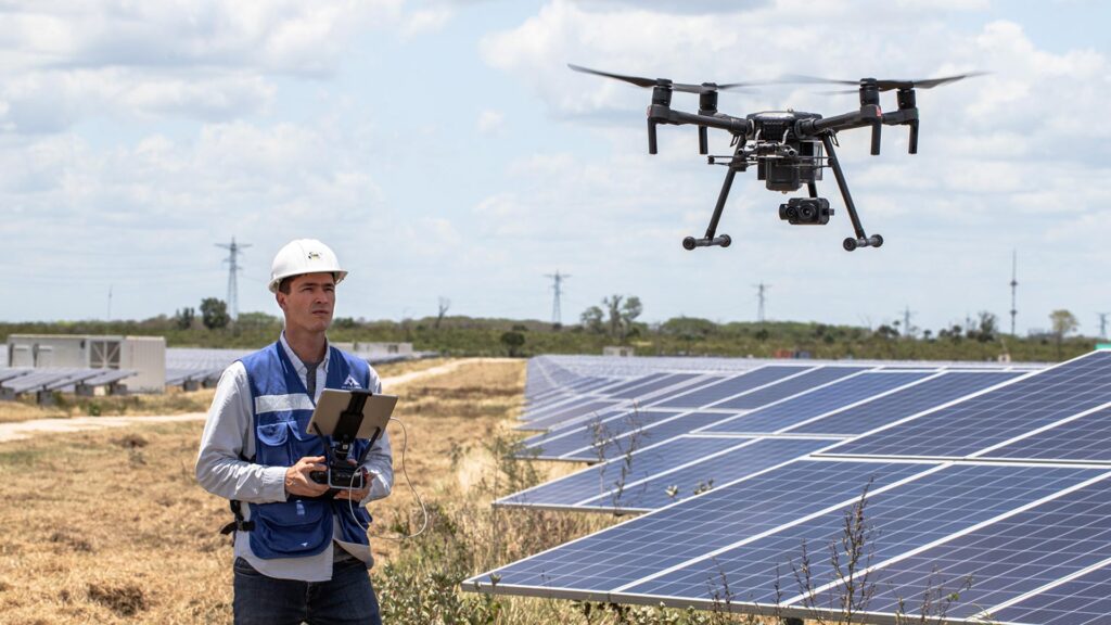
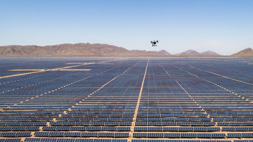
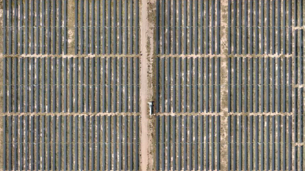
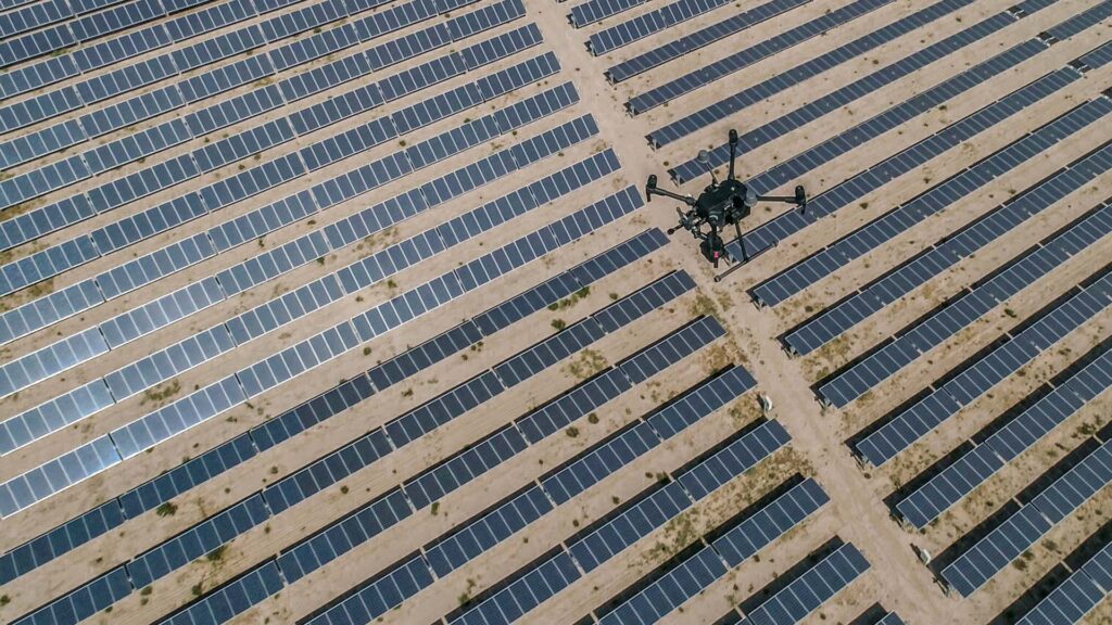
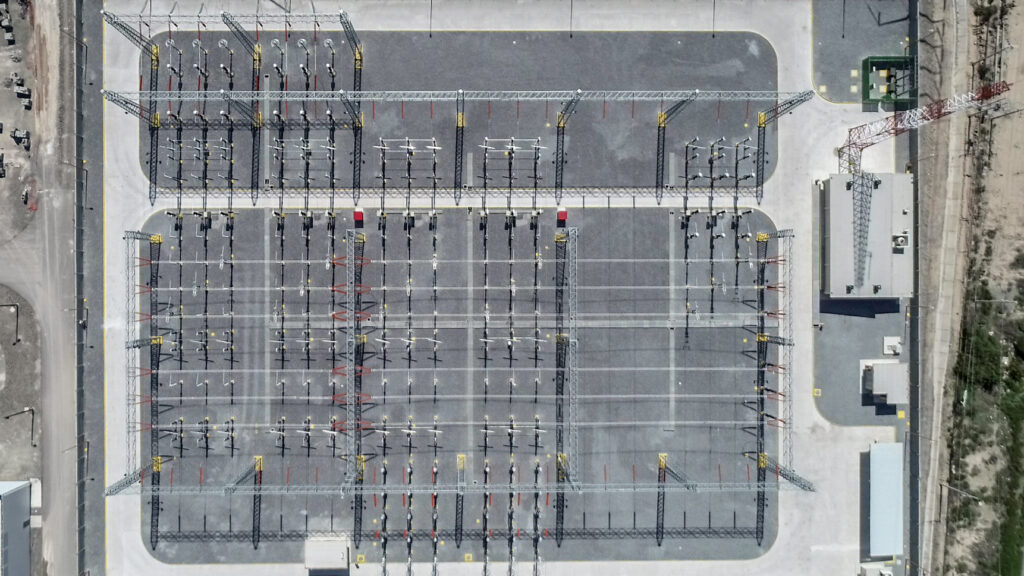
- Aerial inspection of photovoltaic plants (solar panels, power plants, substations, modules, etc.)
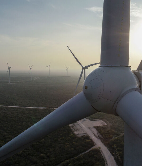
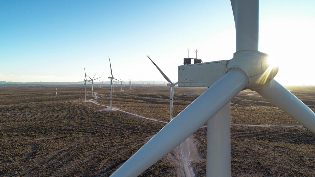
- Aerial inspection of wind turbines.
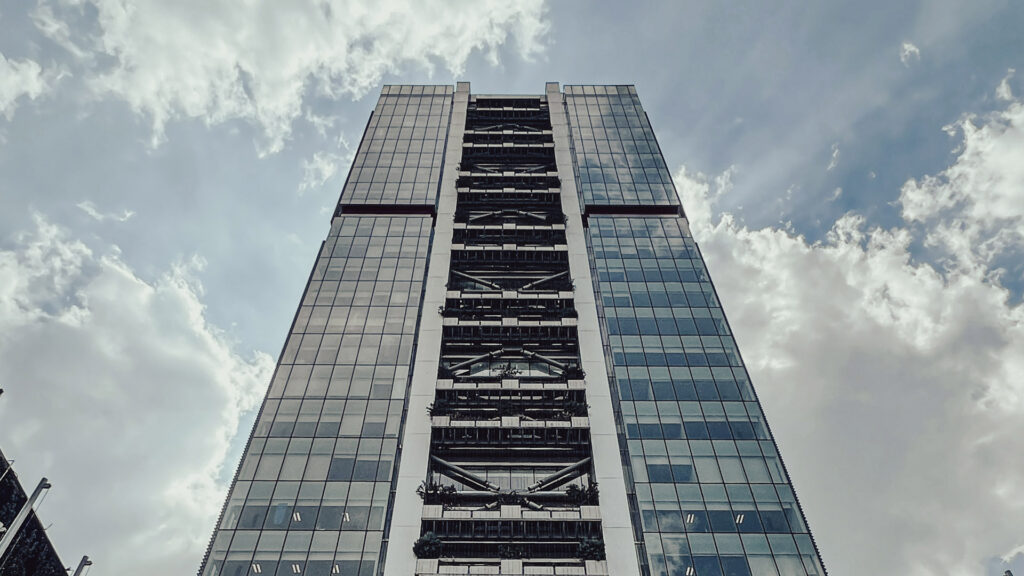
- Aerial inspection of hard-to-access infrastructure (antennas, industrial chimneys, etc.)
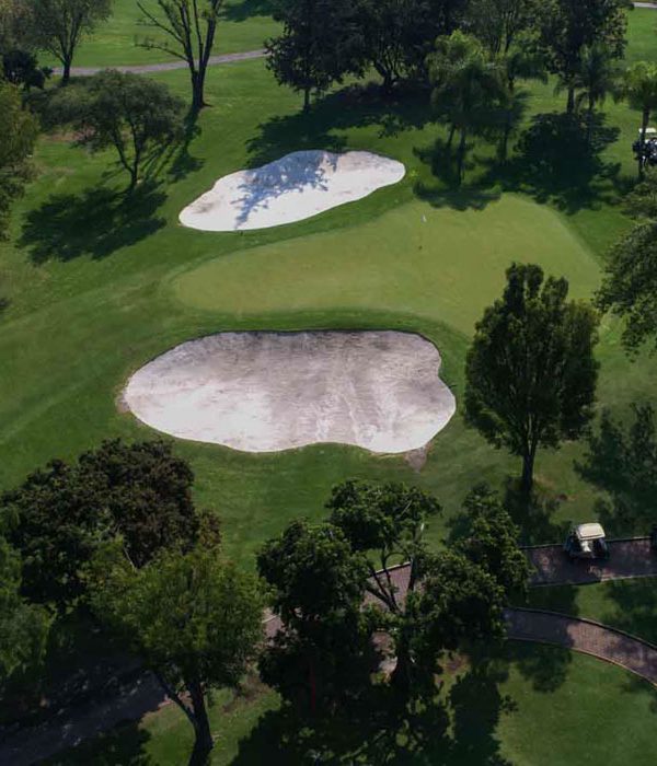
- Aerial inspection of roofs (inspection of installations, wiring, piping, structures, solar panels and heaters, coatings, etc.)
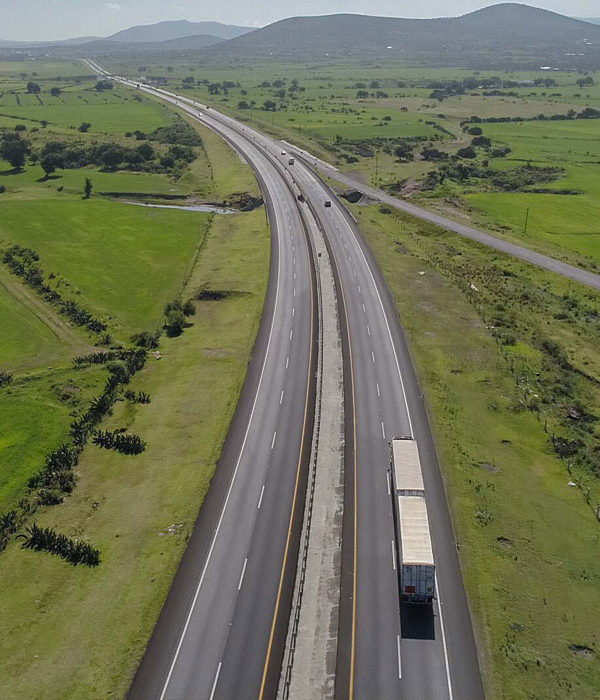
- Aerial inspection of highways, roads, and bridges (road infrastructure, review of road improvements, counting of road anomalies, etc.)
- Aerial inspection of power lines and high-voltage towers.
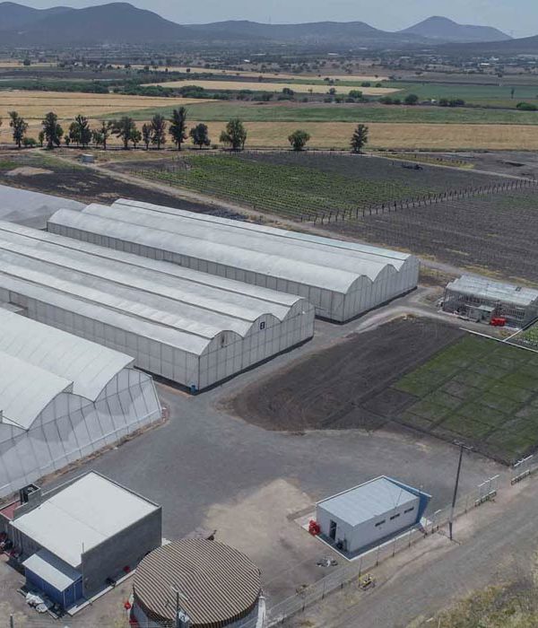
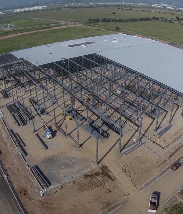
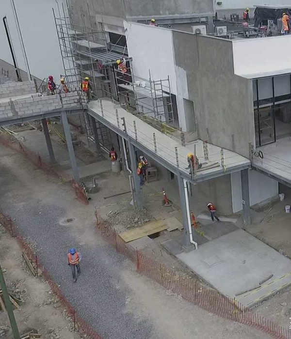
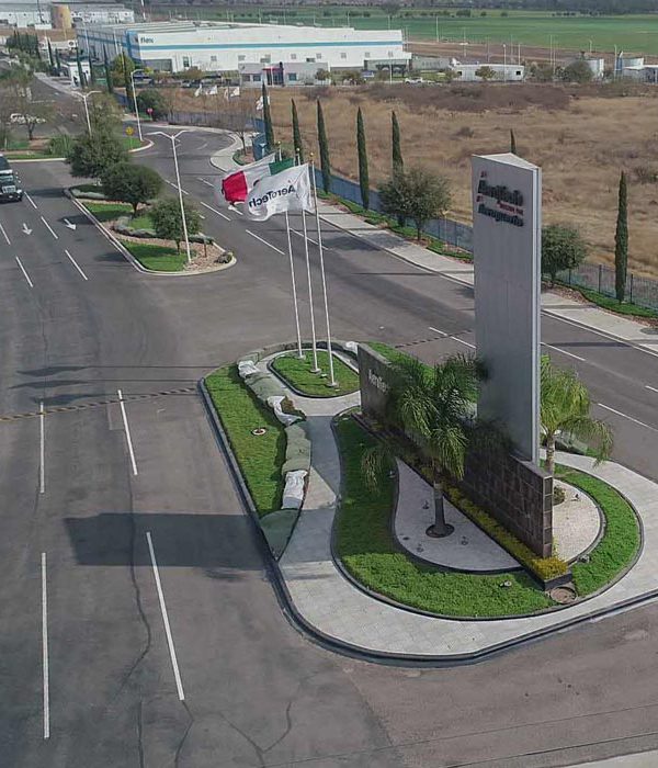
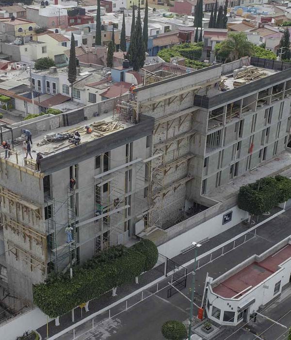
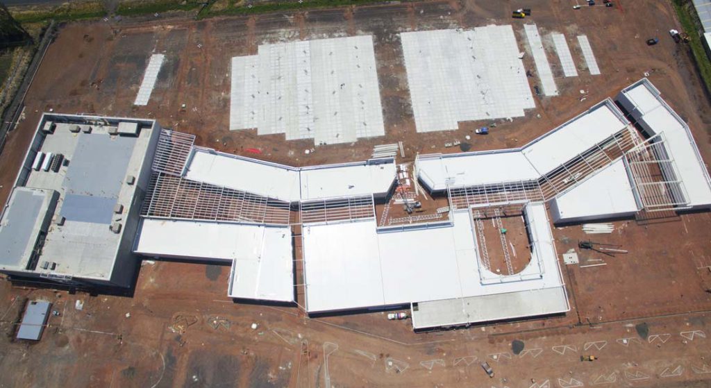
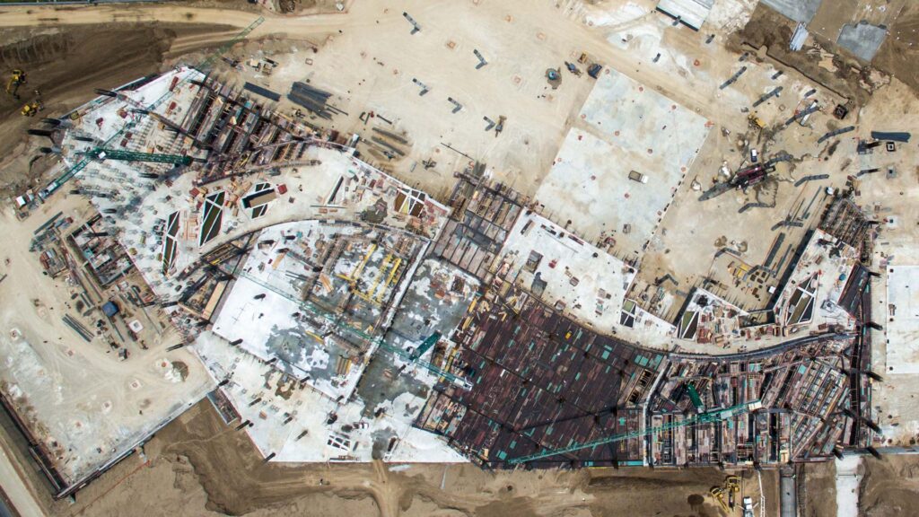
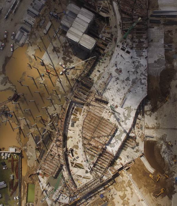
- Aerial inspection of construction sites (construction progress, installations, castings, details, façades, roofs, etc.)
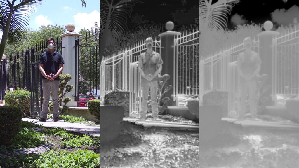
Not all aerial drone inspections are fully visual. Drones can carry different types of sensors for special inspections such as:
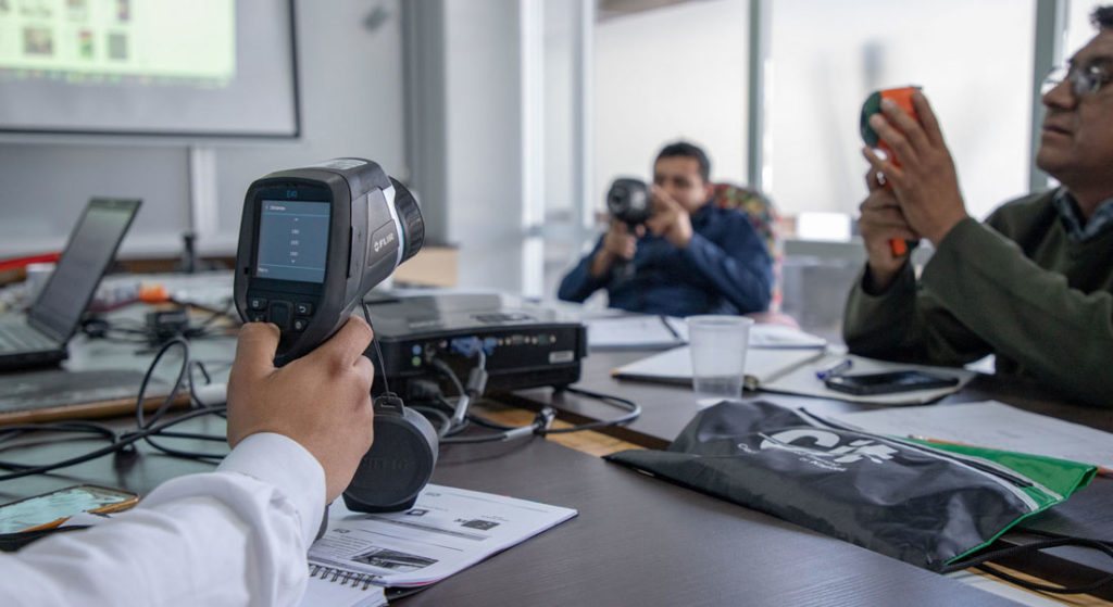
- Infrared sensors to perform aerial thermography in photovoltaic installations, high voltage lines, wind turbines, hydraulic or cooling installations, monitoring of methane gas leaks, etc.
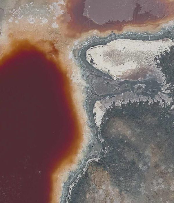
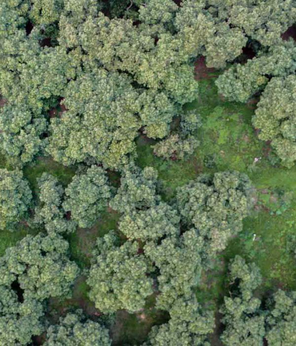
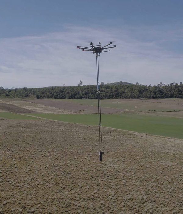
- LIDAR sensors for high-precision three-dimensional reconstructions, plan generation, geological and forestry studies, precision volumetry; among other uses.
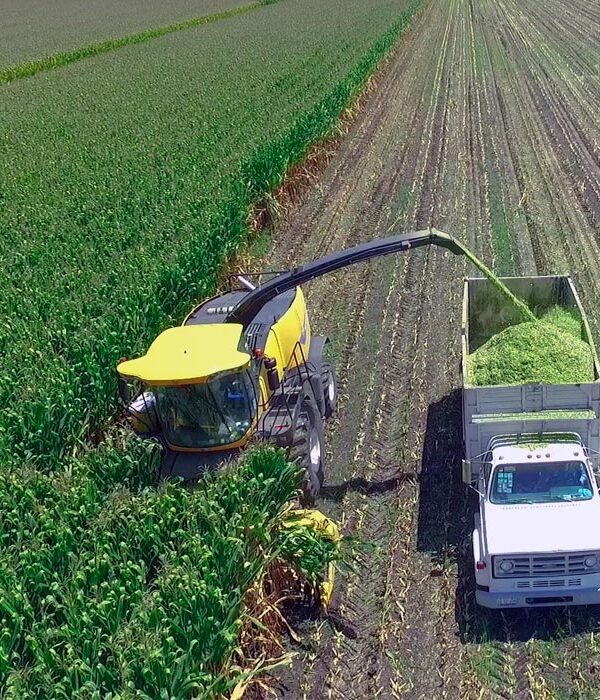
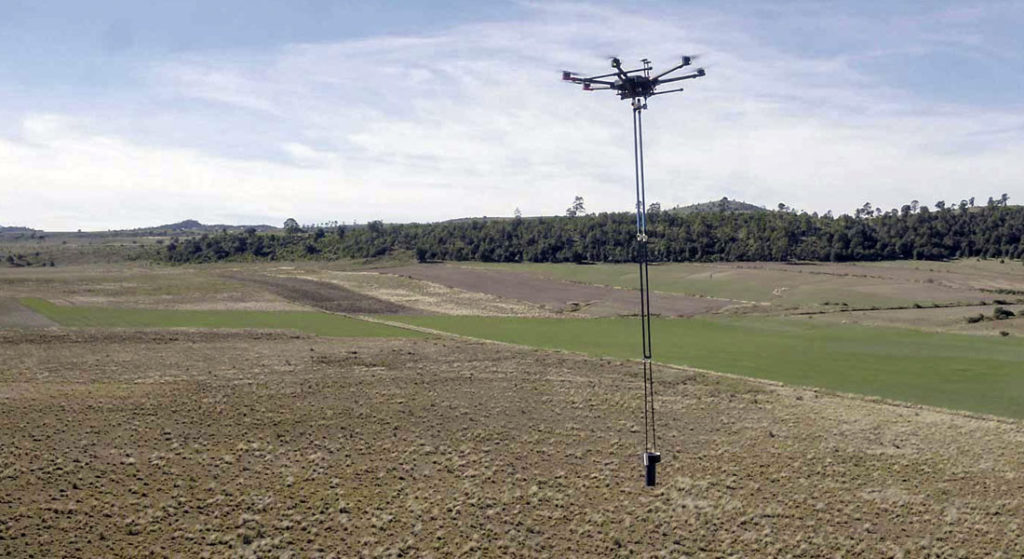
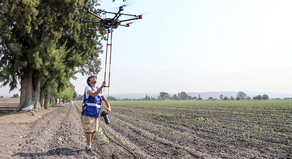
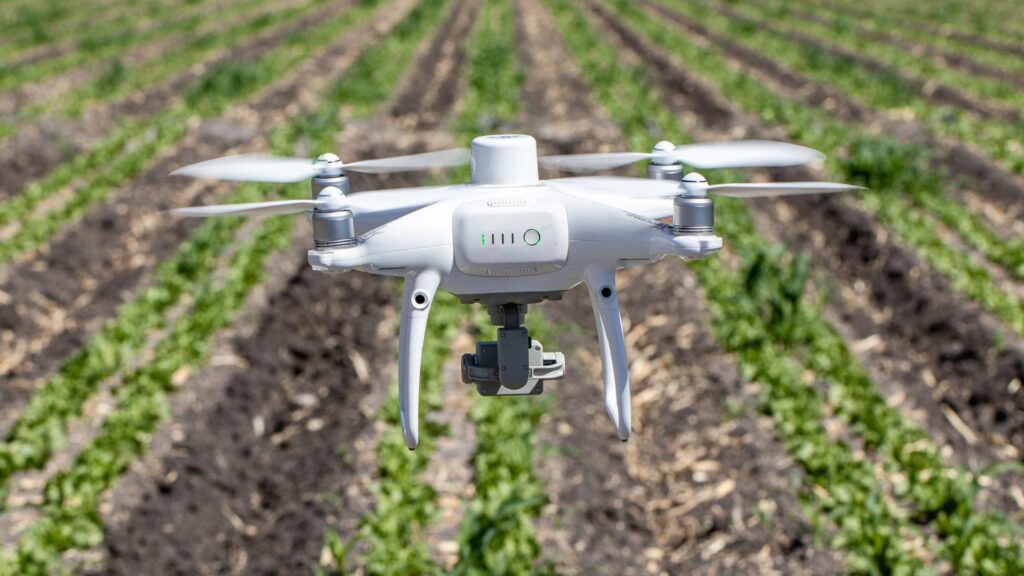
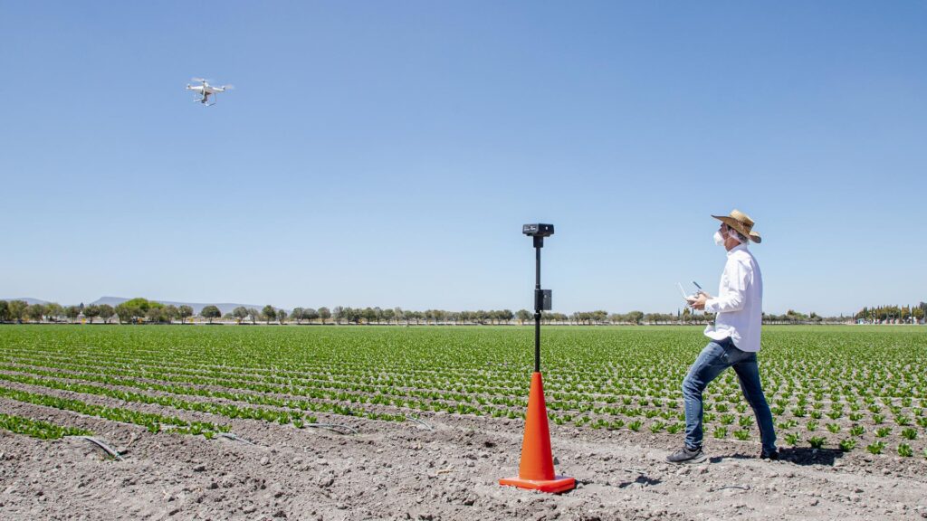
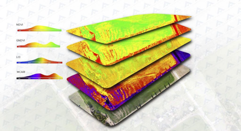
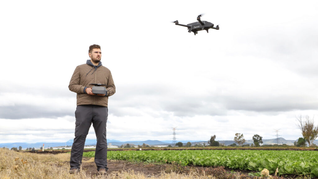
- High resolution multispectral and hyperspectral sensors for precision agriculture studies, nutrient variability in crops, pest detection, harvest estimates, plant counts; among other uses.
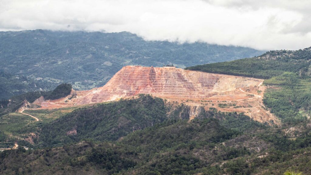
- Sensors for aerial magnetometry or aero magnetometry for geophysical studies such as exploration of mineral resources, detection of wells and aquifers and other studies.
Drones for control and monitoring in construction
The monitoring of the construction work is when continuous inspections are made in the different phases of a construction site. For example, weekly or biweekly surveys of the entire construction work can be carried out. The benefits of monitoring with drones are:
- Greater control in the construction process, monitoring of individual progress, by sector or work teams.
- Testimony of the process and progress of the construction work
- Advertising material for sales or investors
- Photographic catalog of the whole process of the construction work
- Video of the whole process of the construction work
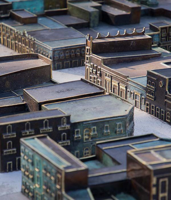
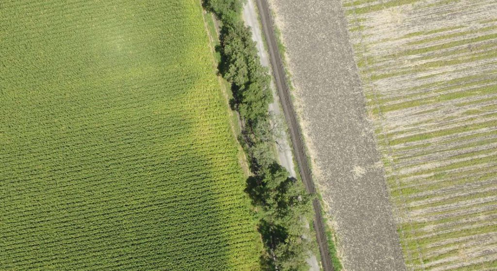
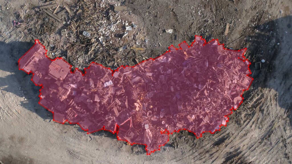
Drone inspection is also used to perform photogrammetry. Drone photogrammetry is also a very efficient inspection method that allows accurate measurements to be made by reconstructing orthomaps. Some results of photogrammetry are:
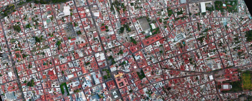
- Generation of orthomosaic/orthomap
- Generation of point clouds and three-dimensional models
- Generation of Digital Surface/Terrain Models
- Topographical analysis based on photogrammetry
Photogrammetry can be used to perform inspections where an observation of a three-dimensional object or structure is required. An example could be the inspection of a house or a building. In addition, photogrammetry is an excellent tool for conducting topographic studies, volumetric and cartographic measurements on orthomaps.
Benefits of drone inspections
In addition to being an effective way to perform visual inspections without exposing workers to hazardous situations, drone inspections can help save companies money.
- Savings on temporary structures, cranes and scaffolding.
- Saving time on impending problems: When functional errors are detected in some equipment or installation, time is a key factor for cost reduction, operation safety and appropriate maintenance.
- Savings in risk insurance: By minimizing risks in routine inspections, lower expenses in risk insurance for workers or third parties can be calculated.
- Increase in general security of the facilities or processes.
- General efficiency in maintenance processes.
Things to consider when performing drone inspections or contracting drone inspection services.
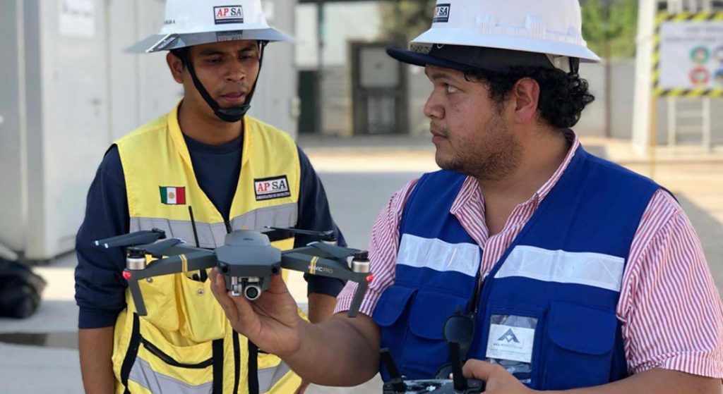
As in all industrial activities, the use of drones also has its inherent risks. Misuse, inexperience, or negligence in an industrial inspection can have unwanted consequences. That is why drone inspections must have established, rigorous and measurable processes; and both equipment and operators must have their respective identifications, certifications and standards to perform the inspections.
In Mexico, the Ministry of Communication and Transportation through the Federal Agency of Civil Aviation controls all activities related to civil aviation, including RPAs or drones. The current regulations for the use of drones are published in the Official Journal of the Federation under the standard NOM-107-SCT3-2019.
When contracting an inspection service with drones, the following aspects must be taken into account:
- That the equipment used is correctly registered in the Mexican Aeronautical Registry.
- That the drone operators have a Pilot’s License of Unmanned Aerial Vehicle.
- That the pilots have demonstrable experience and flight hours.
- That the service provider has valid civil liability or labor insurance.
- That the service provider has a risk analysis and mitigation protocol in place.
- That the service provider has the required certifications and standards to perform the inspection.
Some common standards for industrial electrical and mechanical equipment inspections are:
- ASME E1934: Standardized guide for the inspection of electrical and mechanical equipment with infrared thermography.
- ASNT – SNT – TC – 1A Y ANSI CP-189
- ANSI CP-189
- ISO 18436-7
For more information on this and other issues related to the use of drones for industrial inspections and solutions, exploration and geophysics, or agricultural monitoring, you can write to contacto@av3aerovisual.com
If you liked this article, help us expand knowledge by sharing the blog in your networks.
Sources consulted:
https://www.flyability.com/drone-inspections
https://forcetechnology.com/en/services/drone-inspection-services https://www.intertek.com/asset-integrity-management/drone-inspection/
https://edinburghsensors.com/news-and-events/uav-drone-methane-monitoring/
https://edinburghsensors.com/news-and-events/uav-drone-methane-monitoring/
ASTM E1934-99a(2018), Standard Guide for Examining Electrical and Mechanical Equipment with Infrared Thermography, ASTM International, West Conshohocken, PA, 2018, www.astm.org