


TECHNOLOGY AND TECHNIQUES TO UNDERSTAND THE EARTH
Implementation of advanced geophysical methods focused on underground investigation and exploration.
More safety and certainty for all types of projects:
- Identification of natural resources and hydrocarbons
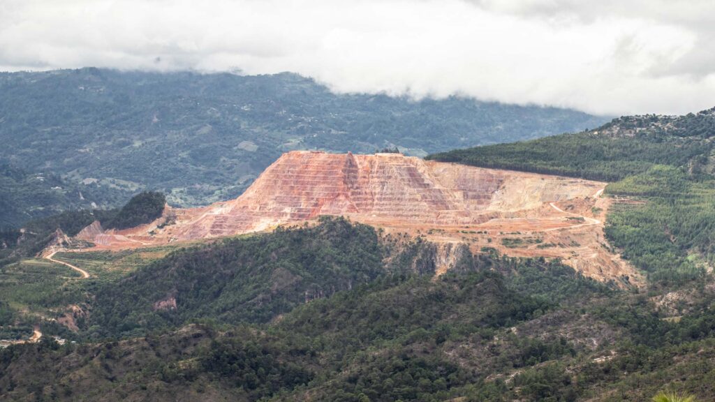
- Mining and aggregates
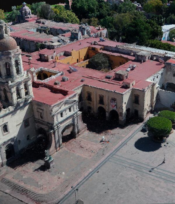
- Construction
- Urbanism
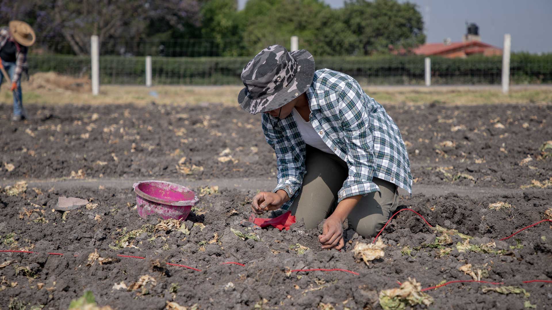
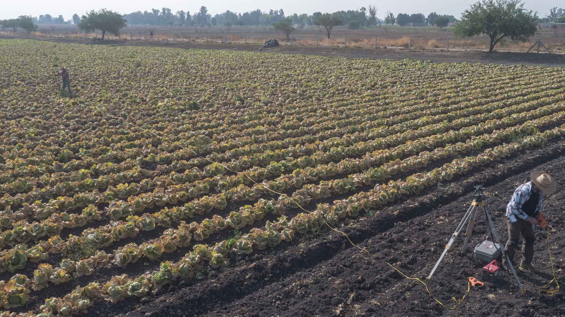
- Agriculture
- Public Safety
- Archaeology
We carry out analyses for environmental studies, land management, construction, urban development and archaeological prospecting among other disciplines.
We adjust to your needs and possibilities, as well as to the geographical and scale characteristics of the area or structure you want to survey.
We currently have the most advanced technology for geophysical exploration and are proud distributors of Phoenix Geophysics, a leading global company in this field.
GEOPHYSICAL METHODS
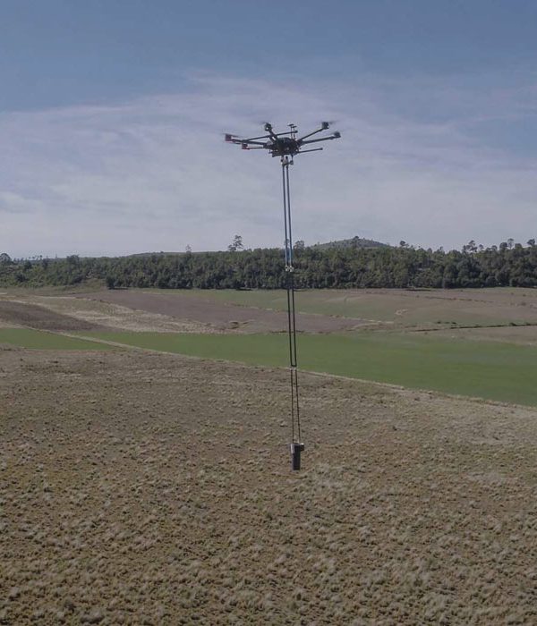
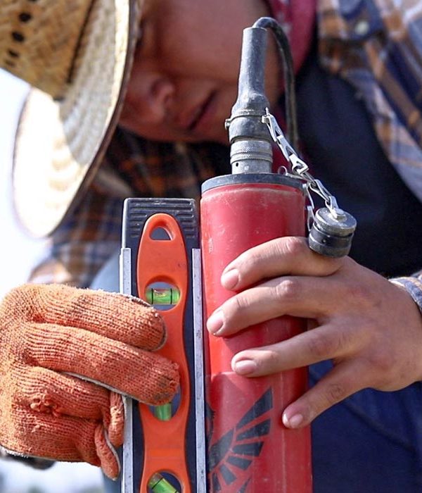
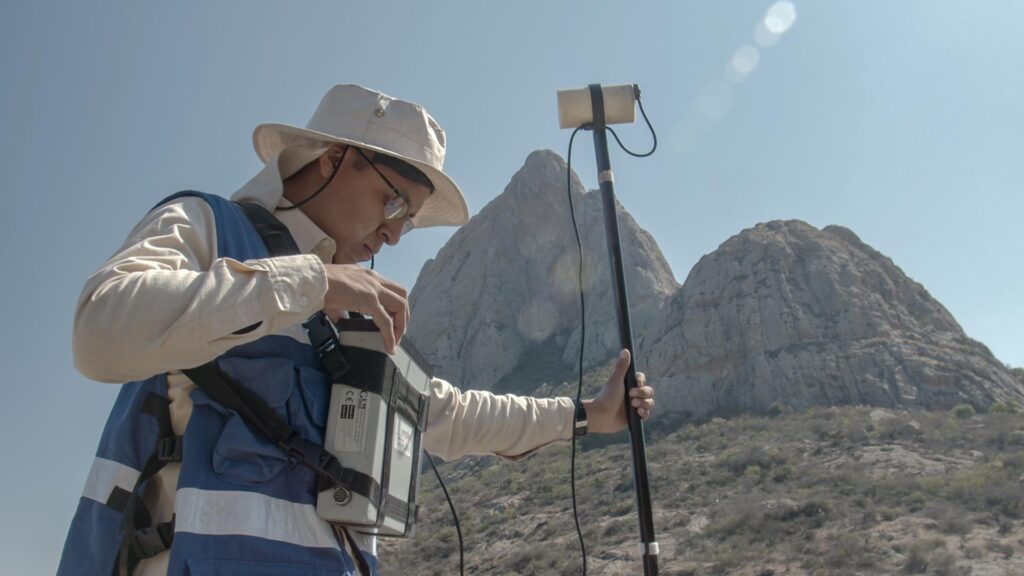
In AV3 Aerovisual we use five non-invasive geophysical methods to help you explore the earth and its resources:
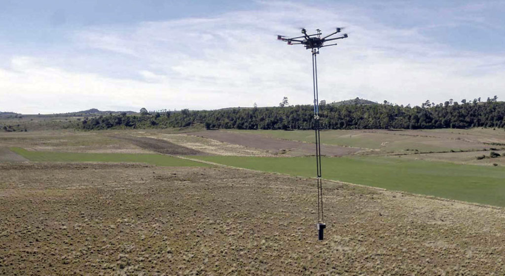
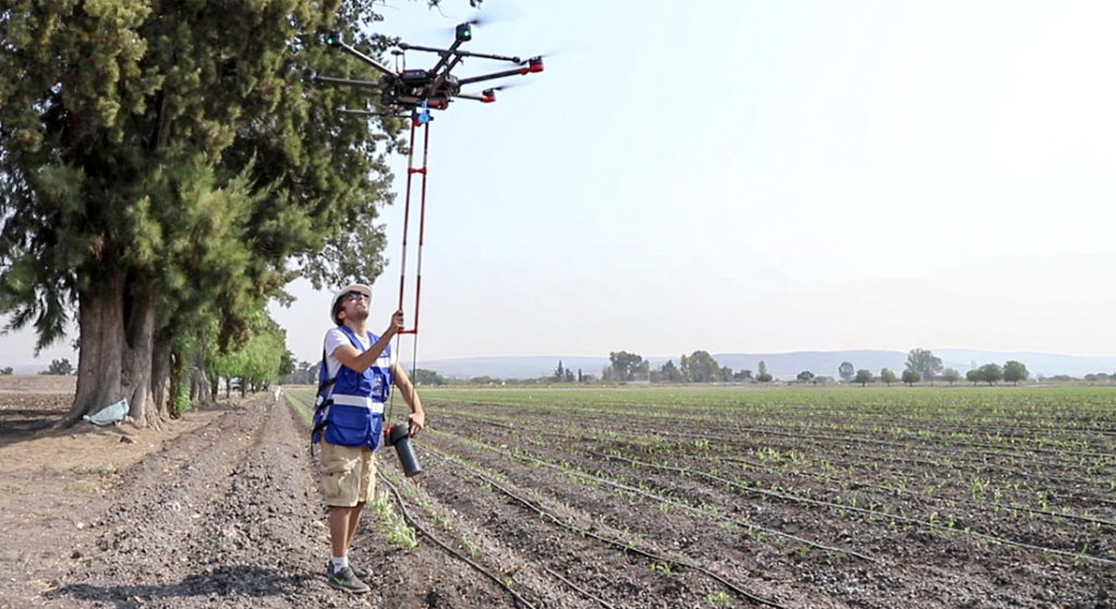
Sounding MTs, AMTs and LMTs (<10 km)
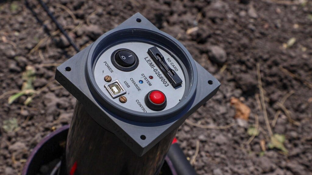
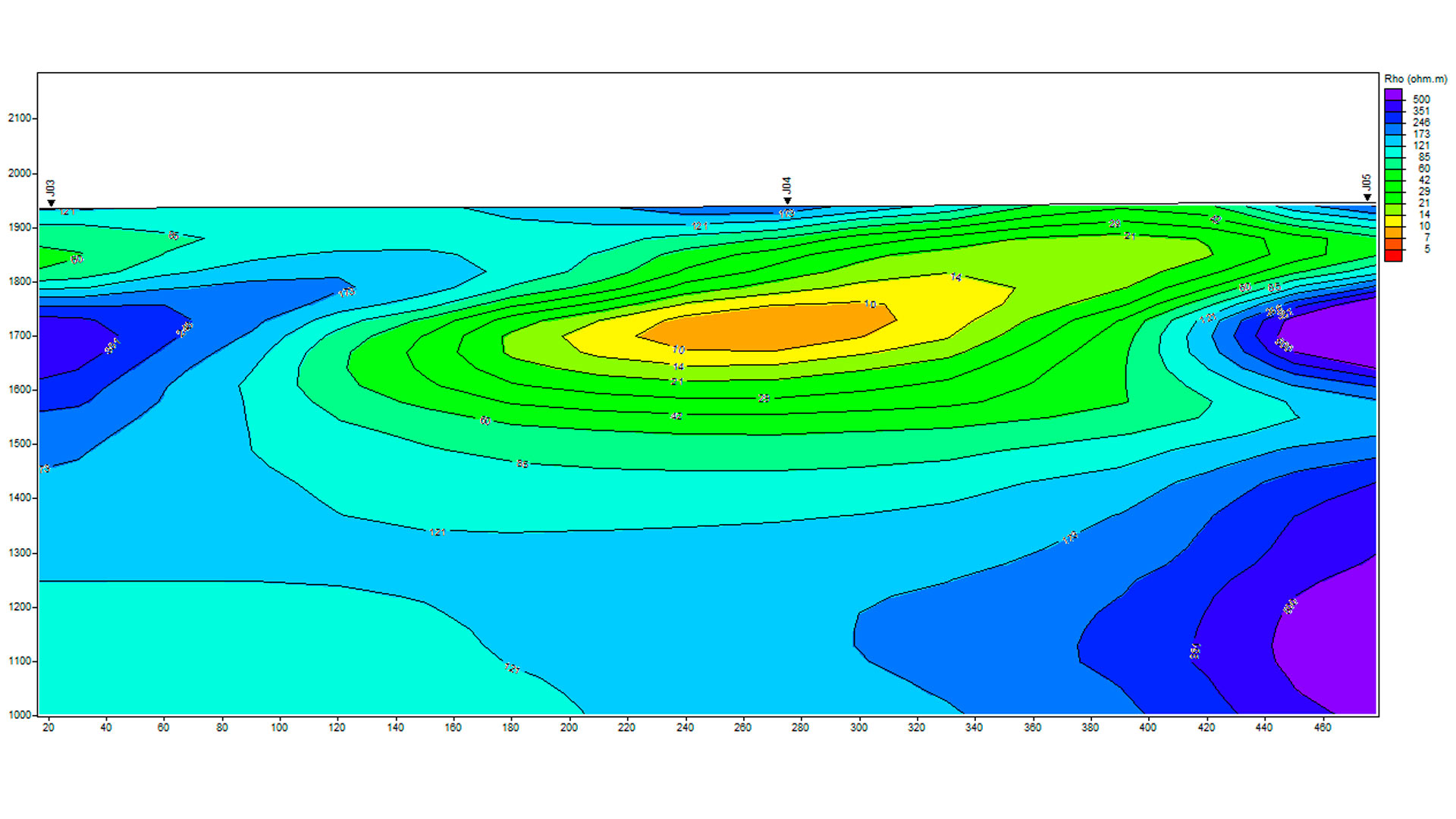
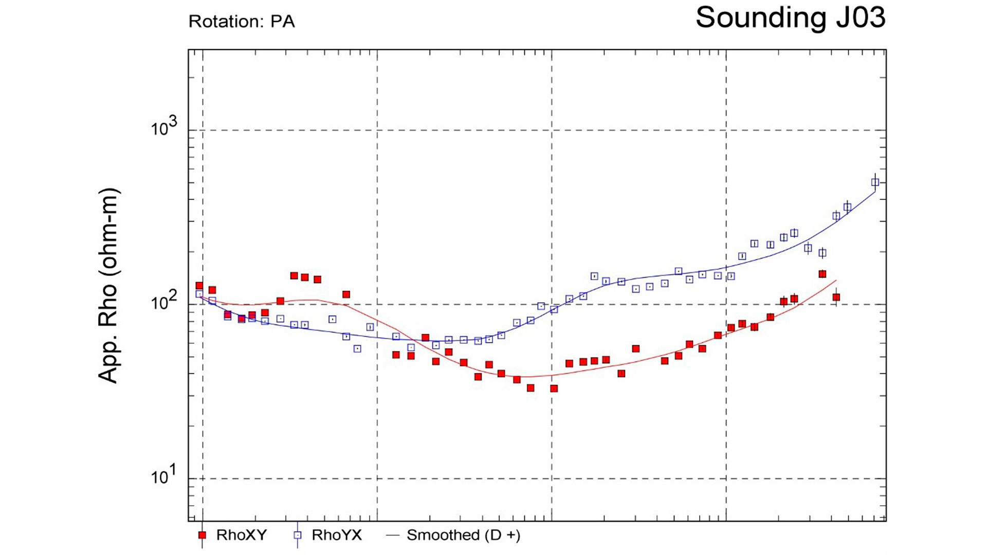
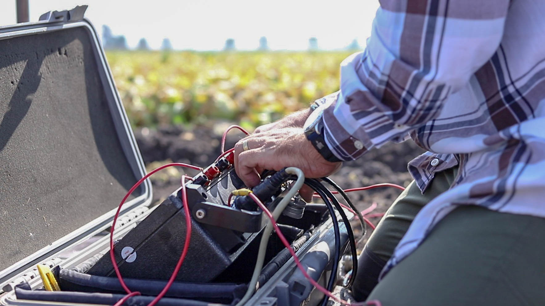
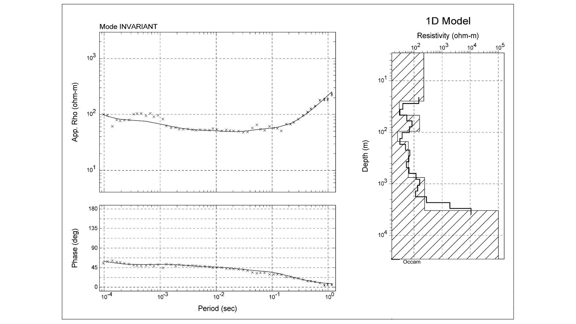
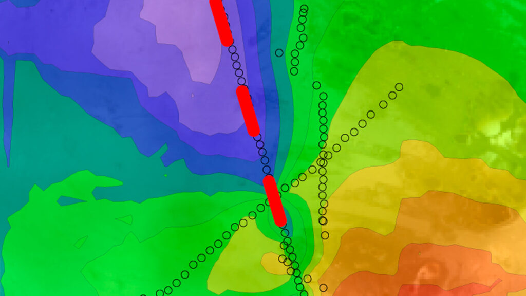
Magneto-telluric surveys are based on measurements of the natural electric and magnetic fields that are present in the ground. They are a highly proven, non-invasive, advanced geophysical method used in the hydrocarbon exploration industry.
These studies are very useful for exploring deep geological structures (>10 km).
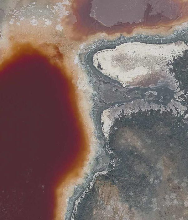
With data acquisition, we can obtain resistivity and electrical conductivity profiles, which are used to generate three-dimensional models of underground structures, allowing the recognition of energy and hydrological resources.
- Geological Structures
- Aquifer Stratigraphy
- Lithological limits
- Bedrock configuration
- Failures and sinkhole
- Location of wells
- Drilling and blasting sites
Terrestrial Magnetometry (6000 m)
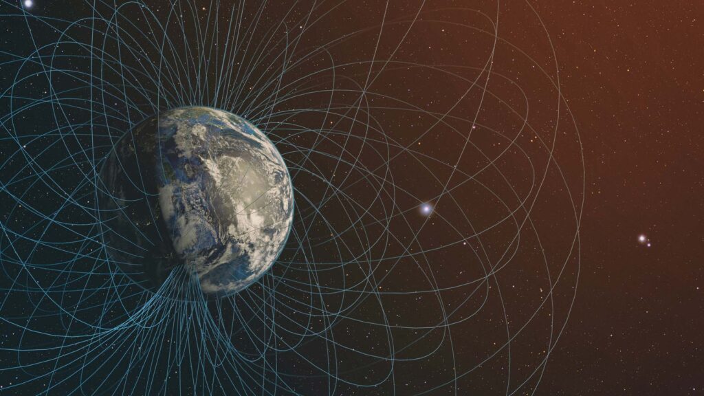
Magnetometry is a geophysical method by which the intensity of the Earth’s magnetic field is measured at a given point. This intensity can vary depending on many factors such as its location or the environment in which it is found.
Magnetometry is primarily used to study areas of interest:
- Magnetic anomaly maps
- Recognition of geological structures
- Identification of magnetic structures
- Exploration of mineral resources
- Geothermal prospecting
- Establishment of lithological limits
- Bedrock configuration
This type of study in conjunction with other geophysical methods gives us the possibility of generating more accurate maps and geological models.
Areas with high magnetic conductivity are very susceptible to these methods so they are used in the industry for resource exploration:
Resource detection:
- Water
- Minerals
- Hydrocarbons
- Aggregates
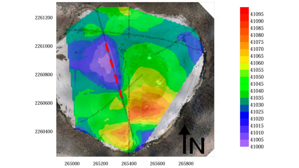
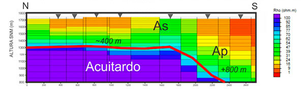
Micro-Gravimetry
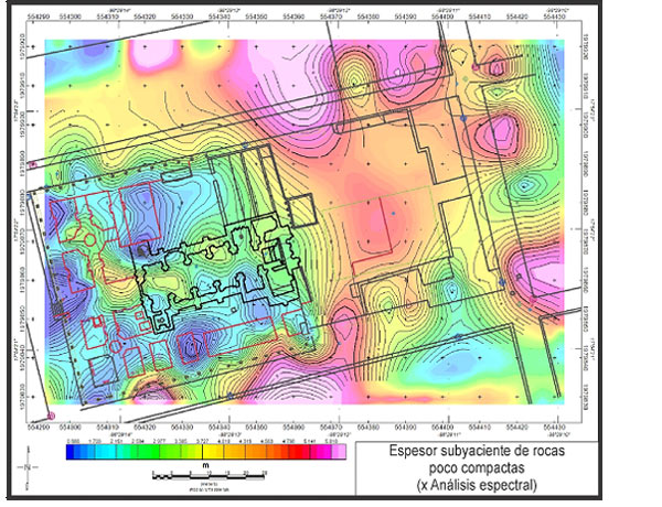
Microgravimetry is a geophysical method to measure the acceleration of gravity at a specific site; in order to generate gravity maps to determine underground conditions such as massifs, sinkholes and other geological structures.
This study is very useful to define foundations for large construction projects, urban planning projects, bridges, ports and vertical building.
Within the possibilities of this study we can locate:
- Geological structures
- Differential basics
- Subsidies
- Faults and Undercutting
- Aquifer Stratigraphy
- Lithological limits
- Bedrock configuration
- Lateral structural boundaries (zone identification)
- Calibration of scales
- Fracture zones
Seismic Refraction (- 30m)
Seismic refraction is a method of advanced geophysics which is based on the generation of acoustic impulses in a known time, generating the movement of seismic waves through the medium and recording the moment each wave arrives. As a result, the composition and physical properties of the medium can be analyzed.
With this study we can locate:
– Surface soil studies
– Surface Stratigraphy