Loading...
Loading...
We implement geophysical methods for underground research and exploration. Natural resources and hydrocarbons, mining, construction, urban planning, public safety, archeology and agriculture.
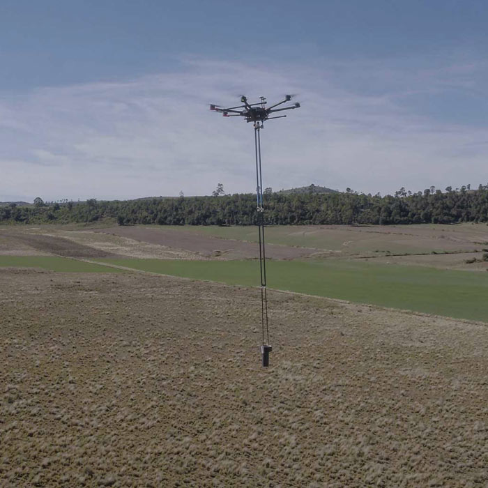
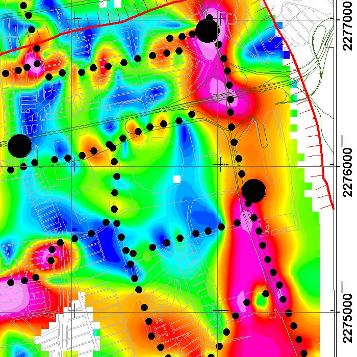
Aerial magnetometry with drones for geothermal exploitation; by comparing telluric magnet profiles in Humeros, region of Perote, Veracruz.
Photogrammetry for digital terrain model generation. Comparison of aerial magnetometry with drones and terrestrial, using microgravimetry and digital terrain model.
Geophysics and exploration| Precision agriculture
Audio-magnetotelluric exploration for the location of wells and aquifers. Geological study and photogrammetric survey with drones to generate a Digital Terrain Model.
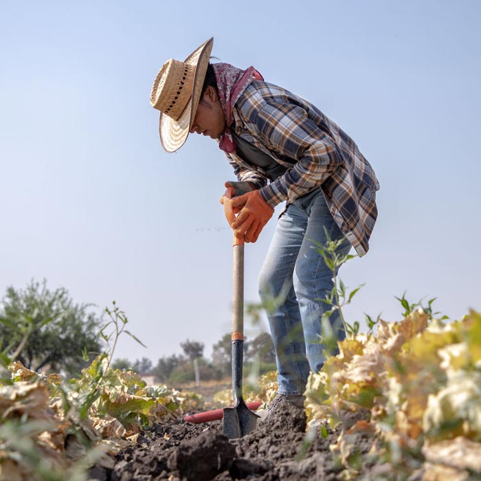
Geophysics and exploration| Precision agriculture
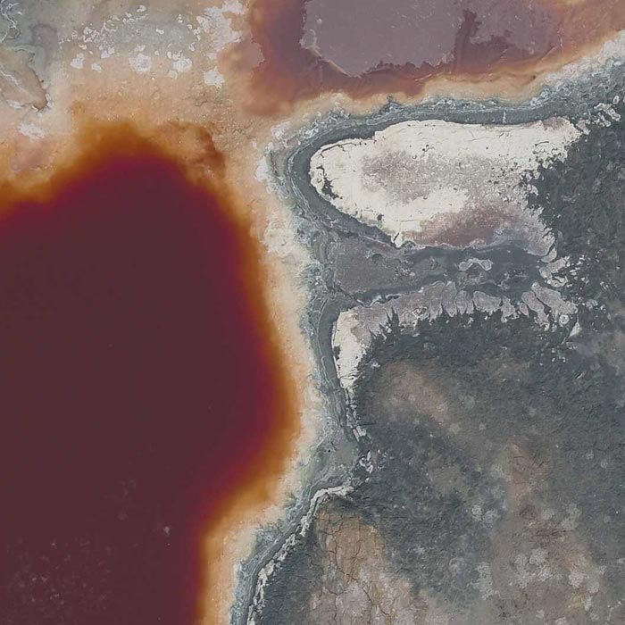
Hydrological study and geological analysis for the location of water wells and aquifers; to identify the water capacities of your land and use the water in a more efficient way.