Loading...
Loading...
With our services of surveys and industrial solutions we optimize time, resources and costs, automate and improve the production processes for sectors such as energy, construction, real estate, cadastre, mining and urbanism.
All our services are insured and all our operators are licenced drone pilots.
Uncategorized
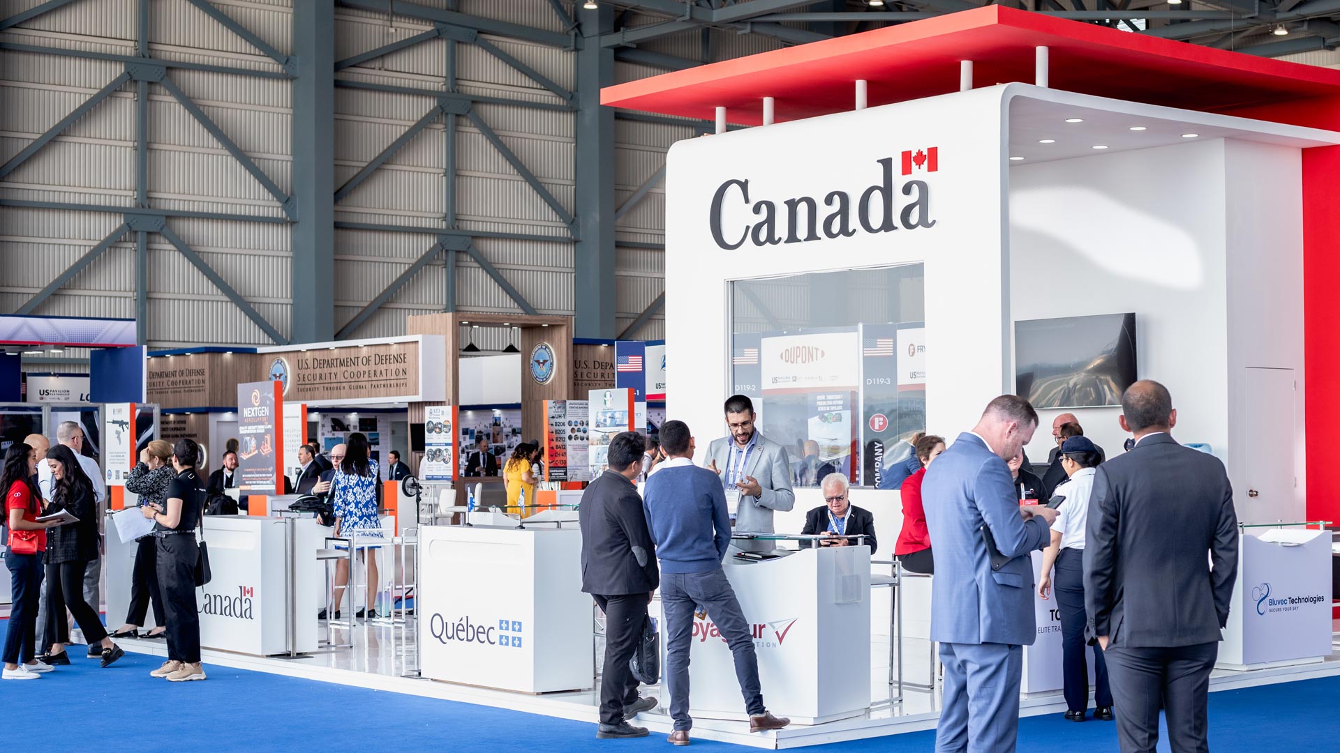
AV3 Aerovisual at the B2B sessions of the Canadian Embassy in Mexico and the General Delegation of Québec in Mexico, at the Aerospace Fair Mexico – FAMEX 2023

Uncategorized
We participated in the B2B meeting of the first Slovak Trade Mission to Mexico; organized by the Ministry of Economy and the Slovak Trade and Investment Development Agency (SARIO), through the Slovak Embassy in Mexico.
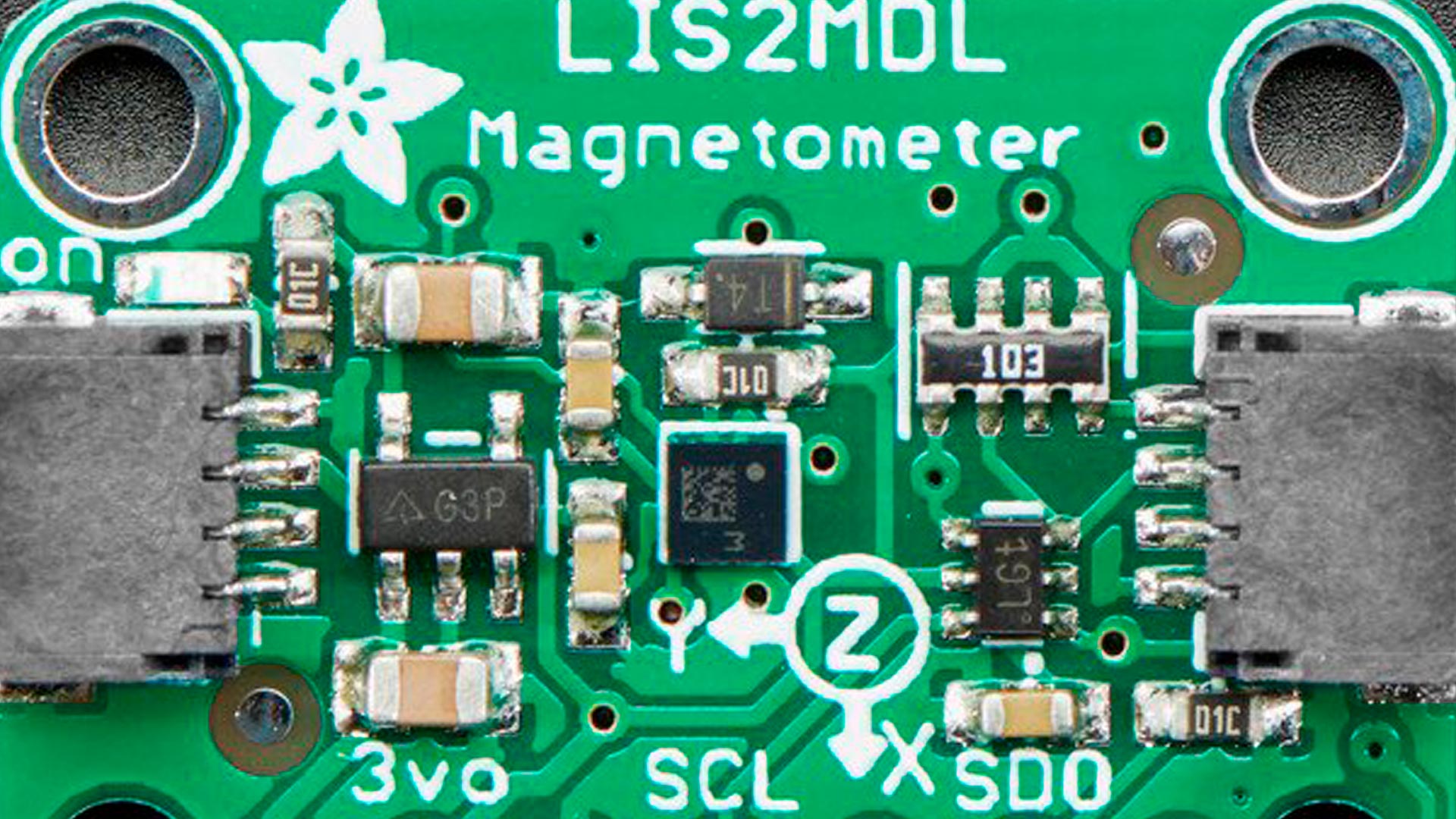
Magnetometry and its application in automation, archaeology, mining, military applications, telecommunications and aerospace.
Courses and certifications| Industrial Solutions| News
Drone thermography course with international certification for the operation of RPAs equipment applied to thermographic inspections.
Courses and certifications| Industrial Solutions| News
Drone pilot course in Mexico for operation of RPAs categories “Micro” and “Small”.
Uncategorized
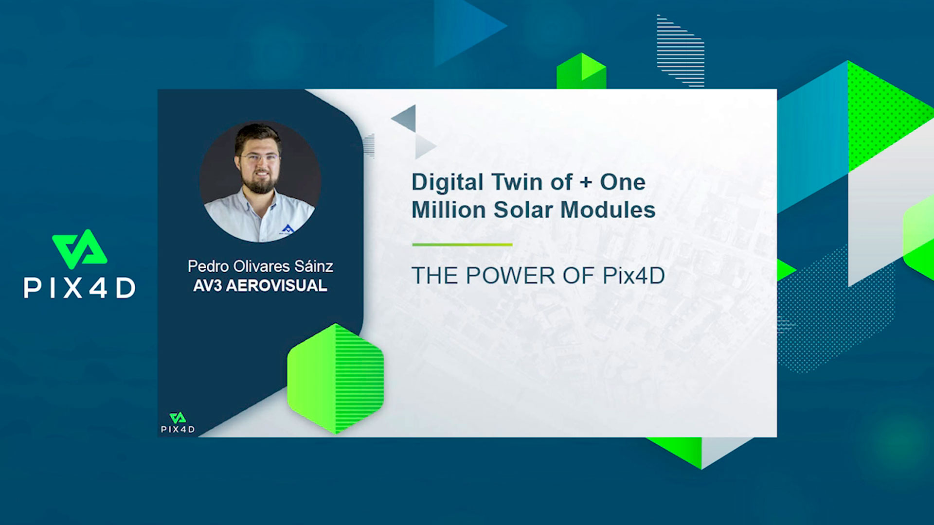
We participated in the 2021 edition of the Pix4D User Conference with the talk; Digital twin of one million solar panels by Pedro Olivares Sáinz, Executive Director of AV3 AEROVISUAL.