Nowadays magnetometers are a tool or a type of sensor that, although it sounds like something very complex, is a tool that we deal with every day without realizing it.
What we mean when we say that Magnetometers are part of our daily life and we do not notice it, magnetometers are sensors that have been evolving technologically to be placed in all aspects of our daily life, being found in cell phones, electric and automated vehicles, in the space industry and extraction of metal or mineral resources, with which most of the electronics and tools are composed.
Therefore, it could be said that magnetometry is already an important part of the industry in general, so we can observe five main aspects in which magnetic sensors play an essential role in the technological development or operation of each one of them.
AUTOMATION
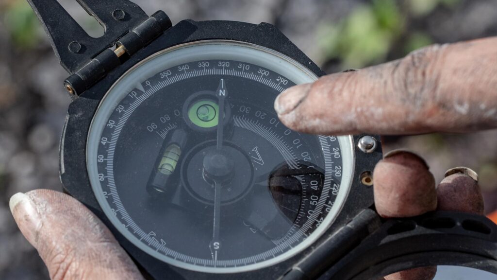
The magnetometers in their most essential form are magnetic sensors which point in the direction of these fields, so it could be said that a compass is a magnetic sensor in its most basic form. That is to say that from these we can determine direction and orientation, both essential for location and spatial navigation.
Historically these sensors, i.e. compasses, were of great importance in the navigation of the seas. Like land exploration, these sensors are still just as important today in matters of navigation, orientation and location. However, the evolution of the sensor has allowed this mechanical tool to be somewhat digitized.
This means for the industry to reduce the size of these sensors to the size of a chip measuring centimeters, that is, its size has been significantly reduced but the most important of the advances of the Magneto m for the automation industry is related to the high sampling frequency and the accuracy and sensitivity of the magnetic sensor. Such elements and advances allow their implementation in automated vehicles such as drones, airplanes, helicopters and vehicles that have automatic pilots; such as automated tractor ships and space vehicles. Vehicles that have Magneto m in their autopilots or assisted pilots, depend on the high sampling frequency and precision in their orientation, since the precision with which these vehicles or tools can maintain or follow the established courses without deviating or becoming disoriented depends on these elements.
ARCHAEOLOGY
Magnetometry in archaeology has existed practically since the beginning of modern magnetometry, which began on the eve of World War II, and it was not until approximately 10 years later that this type of prospection, i.e., magnetic prospection, was used to map and detect vestiges in archaeological zones. So it could be said that magnetometry is very attached to the tourism industry as it is one of the main tools of archaeology.
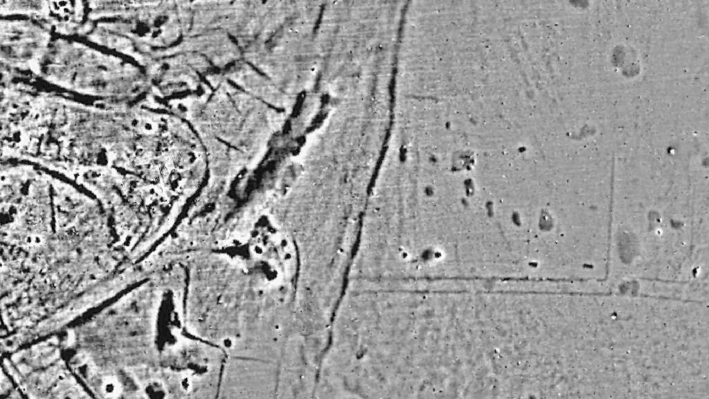
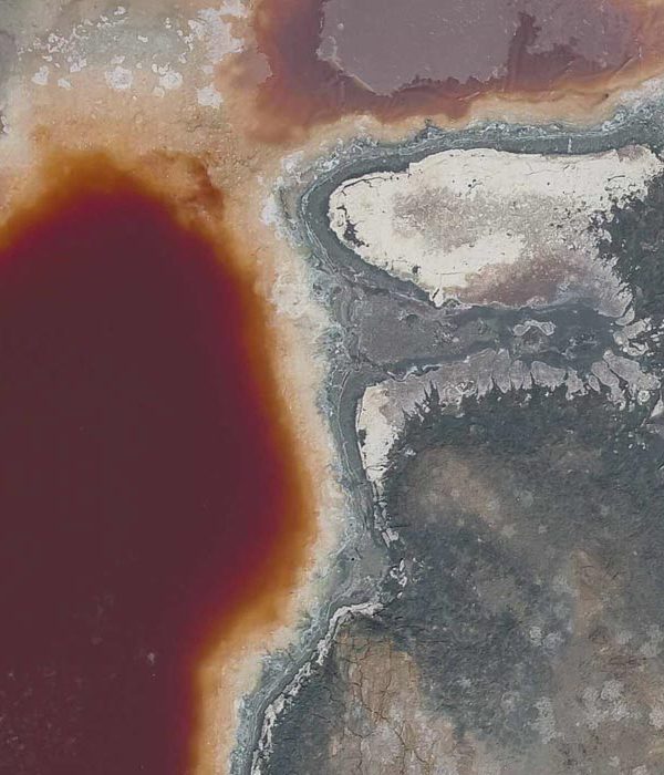
Magnetic detection methods are highly sensitive for the analysis and characterization of metal oxides due to their magnetic nature. And the method has become the starting point of any modern archaeological exploration.
Another benefit of this exploration technique is that it is a non-invasive method, that is, it only depends on a sensor making measurements to form a mesh of data, from this meshing technique it is possible to observe the orientation of the magnetized oxides in the soil, so that if there are modifications in the soil, the changes in the orientation of the oxides of the grains of the soil layer that are at the same level can be appreciated.
Most of the existing soils have a magnetized topsoil, so any trench, backfill or wall filled with this topsoil will theoretically produce a magnetic anomaly.
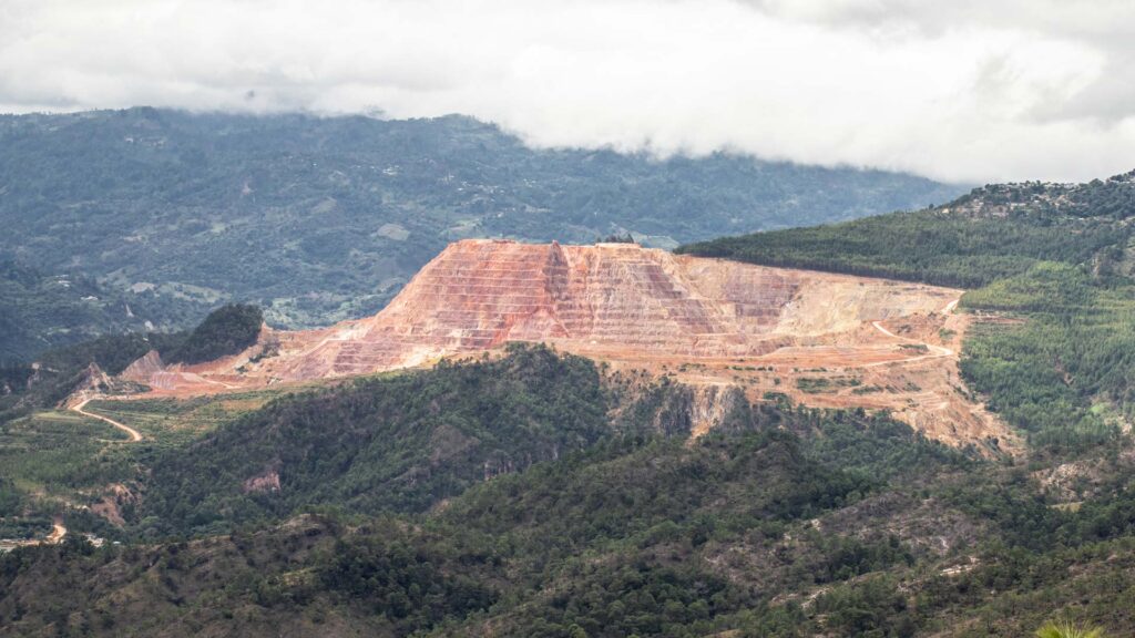
MINING
The mining industry is one of the niches where magnetometry excels, because a large amount of the resources obtained from this activity have magnetic characteristics.
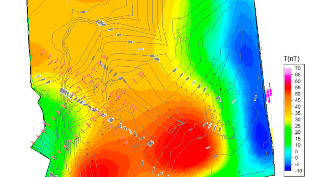
The different concentrations of magnetite and other ferromagnetic minerals, i.e. with magnetic properties, allow us to distinguish them from the environment through large-scale mapping, thus locating the areas with the highest concentration of these resources. Subsequently, in the interpretation and through mathematical processes, it is possible to estimate depths and volumes of these resources. It is essential to use complementary geophysical exploration methods to generate reliable models, thus optimizing resources in extraction.
In addition to being a great tool for the exploration and identification of mineral resources, it is possible to map large areas for the characterization of deep subsurface structures and to identify large geological structures.
In the mining industry, magnetic exploration has one of the most direct applications, allowing us to:
-Mapping large tracts of land to locate mineral resources.
-Identification and tracking of mineral veins.
-Identification of high temperature zones
-Definition of structural geology
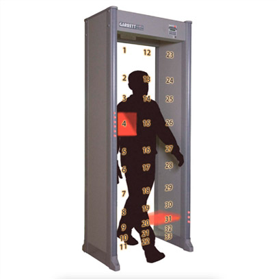
MILITARY
The military industry is where magnetometry was born as a modern exploration method. It was at the beginning of the Second World War when modern magnetic exploration was born, being its objective the detection and location of submarines taking advantage of the material of which these were built, which basically are metals. The high concentration of magnetite in them gives the possibility of being easily detected by an array of Magnetometers.
Currently this industry not only uses magnetometry as a “radar” type sensor, but it has a great application in the communication and implementation of autonomous and space remote vehicles. The frequency and high sampling rate allows the implementation of Magneto m in vehicles and high-speed projectiles that require and depend on the accuracy of their position.
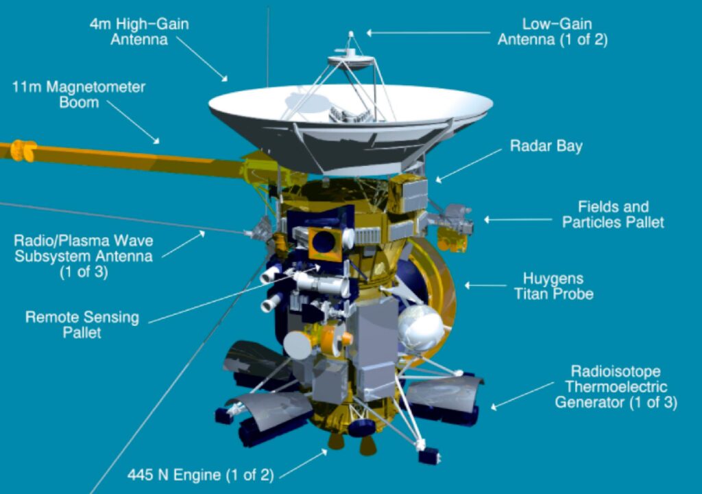
AEROSPECIAL INDUSTRY
The aerospace industry relies heavily on Magneto m, which in this industry are clearly related to the orientation and direction of vehicle trajectories. They are also integrated into stabilization systems and autopilots.
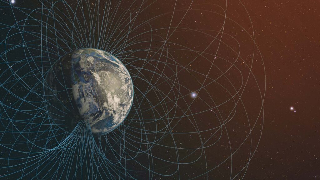
Magnetometers are also an essential part of the equipment that monitors the earth’s magnetic field which has a strong interaction with solar winds, which can influence the operation of all electronics with which we have contact on a daily basis as they depend on electrical principles which in turn, generate and are influenced by magnetic and electrical interactions.
Source: Precision Magnetometers for Aerospace Applications: A Review.
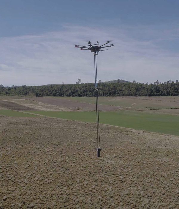
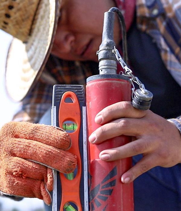
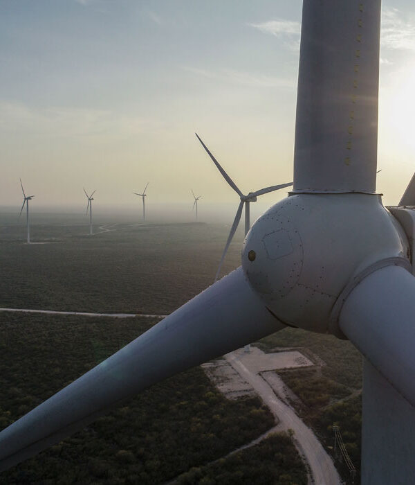
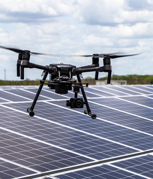
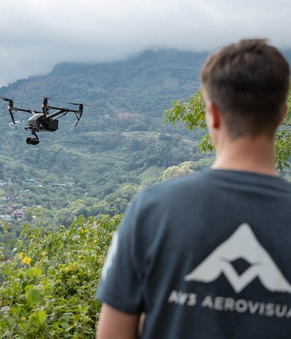
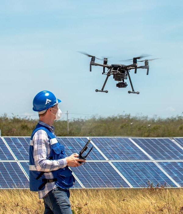
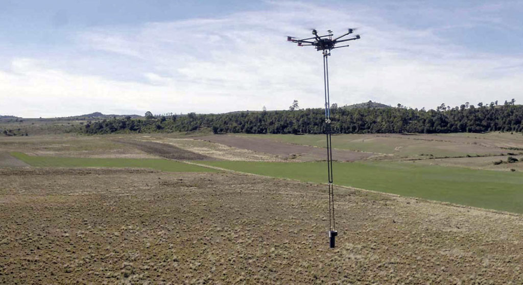
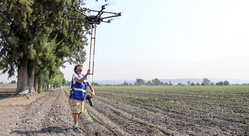
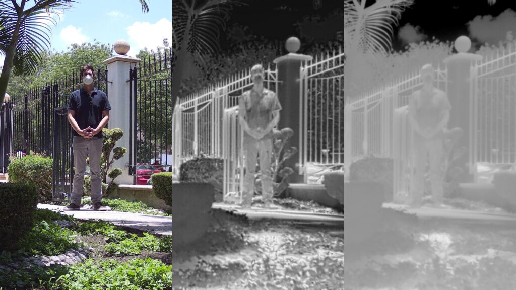
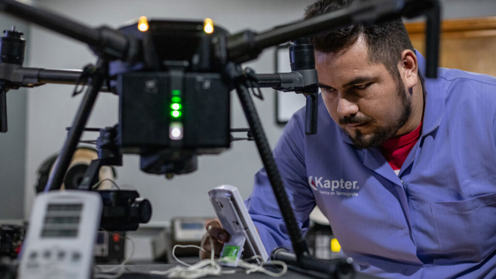
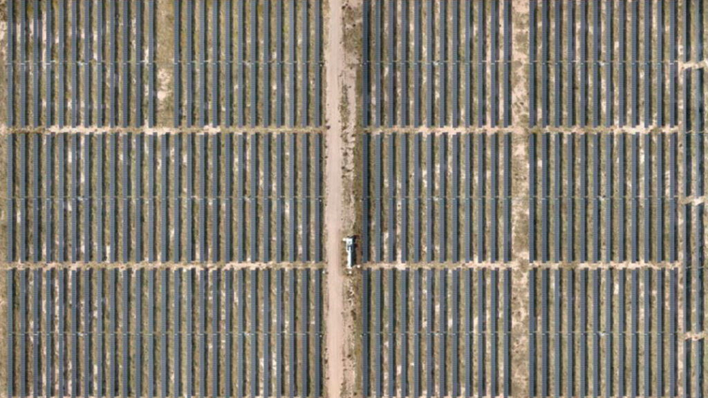
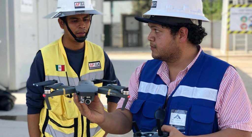
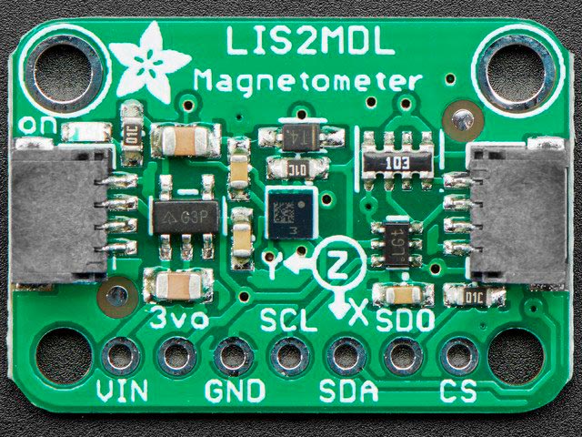
At AV3 AEROVISUAL we have state-of-the-art magnetometers, built at the Lviv Aerospace Institute in Lviv, Ukraine. These sensors have a wide range of applications due to the fact that they are for magnetic exploration with drones which allow access to virtually any site by performing aerial data collection..
TELECOMMUNICATIONS
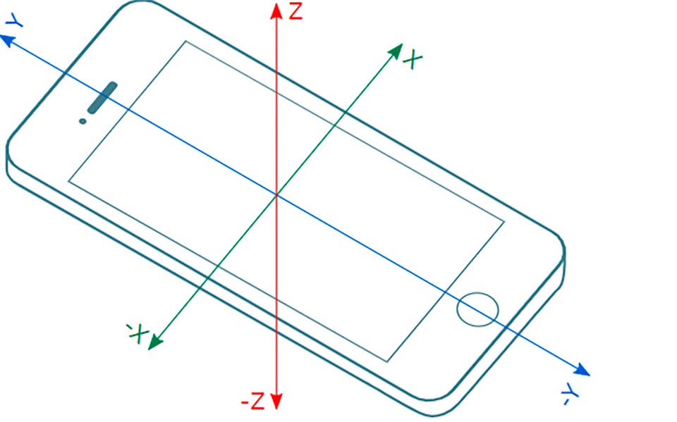
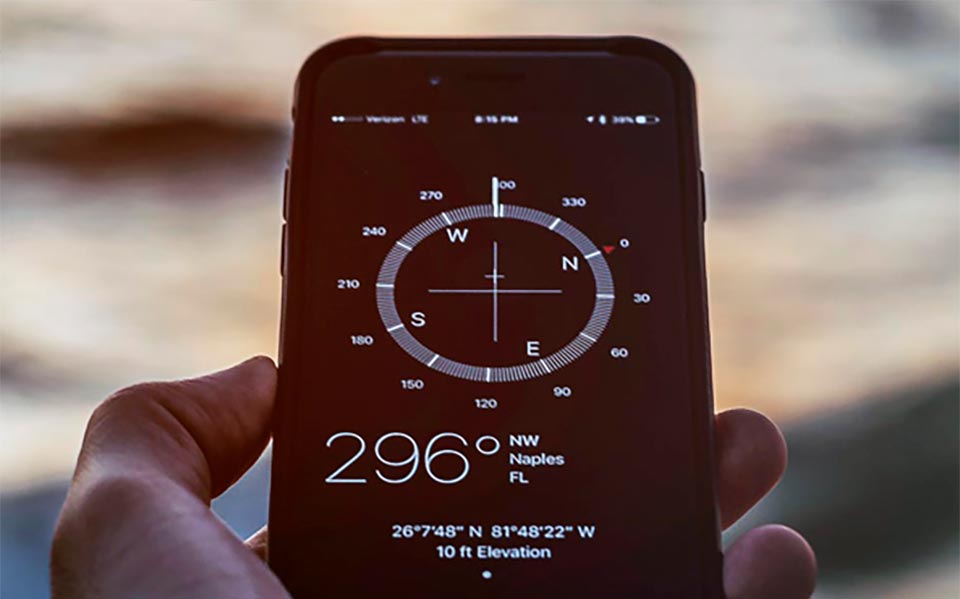
Due to recent technological advances that have reduced the size of electronics and chips, it is possible that today most mobile devices have a wide variety of sensors ranging from cameras to optical sensors. One of the sensors that are now included in these devices in a standardized way are the digital magnetometers, which are used to determine the orientation and direction in which they are located. These data are applied in a large number of mobile applications that use GPS location and direction, for navigation mapping applications and even shopping.
It is common to find these devices asking you to calibrate your magnetometer to reset the operation, as well as the operation of applications or processes, which depend on the location and direction of the devices such as integrated maps.
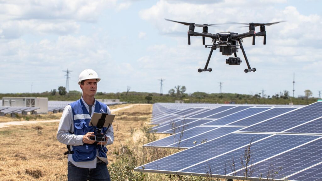
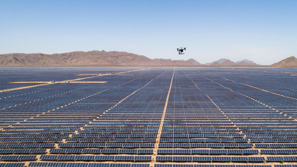
Current technology allows magnetometers to be a tool that is present in most technological developments in different sectors of the industry, ranging from its implementation for vehicle automation and navigation, to mapping and location of mining resources. In AV3 AEROVISUAL we implement this technology in drones to offer Aerial Magnetometry; services; a magnetic survey technique is applied in an exploratory way to map large areas of land, as in mining, optimizing resources and giving as a result; characteristics of the mine or resource of interest, for better use. This technique is also applied to search and rescue of artifacts, and in a more regional way, in geological characterization. The application of the method has many scopes, to learn more we recommend you to read “Aerial magnetometry with drones” and “Types of magnetometers, uses and applications”.