What is Magnetometry?
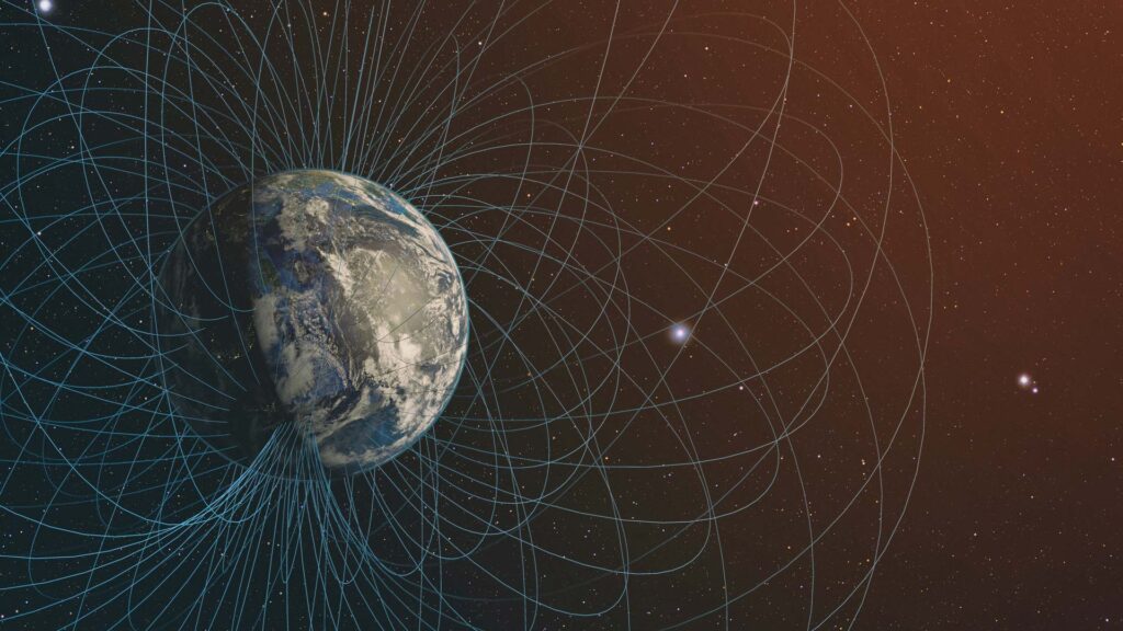
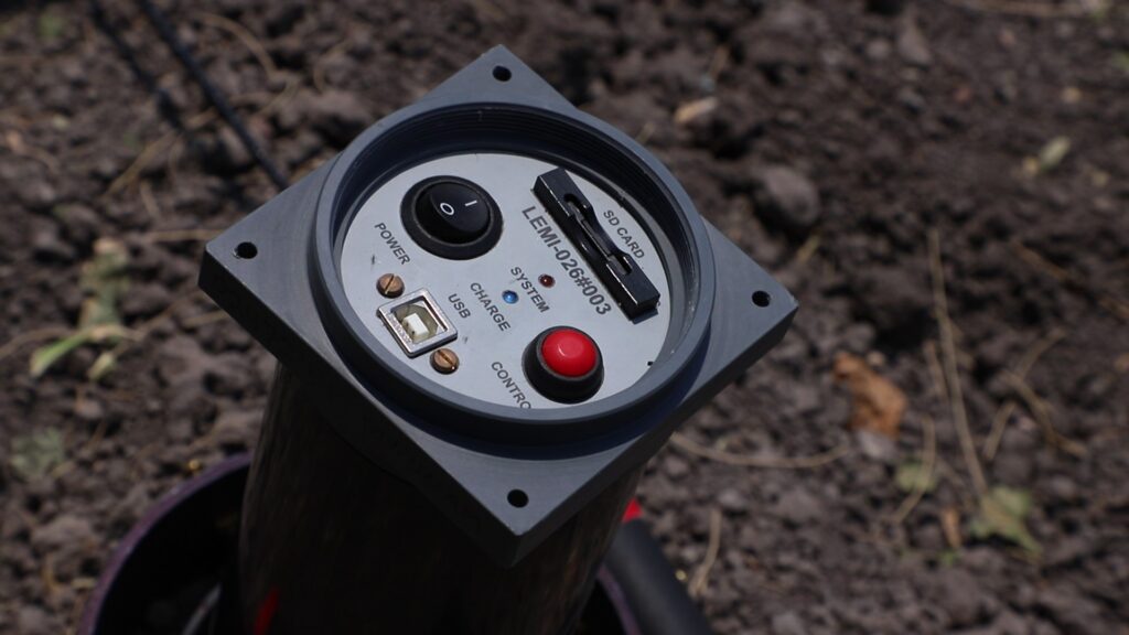
Magnetometry is a geophysical study which measures the intensity of the Earth’s magnetic field, this is implemented to study the magnetic variations caused by different elements located in the Earth’s crust. The study is carried out with a measurement equipment called Magnetometer; these sensors are designed to perceive alterations in the terrestrial magnetic field. Depending on the type of magnetometer used, the data has to be analyzed and interpreted to obtain the final result: magnetic anomaly maps. Traditionally, magnetometer explorations are performed by walking in small scales or in manned aircrafts such as light aircraft or helicopters for larger extensions.
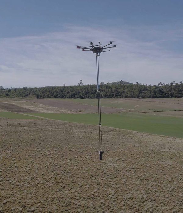
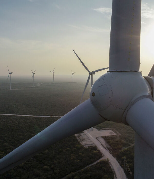
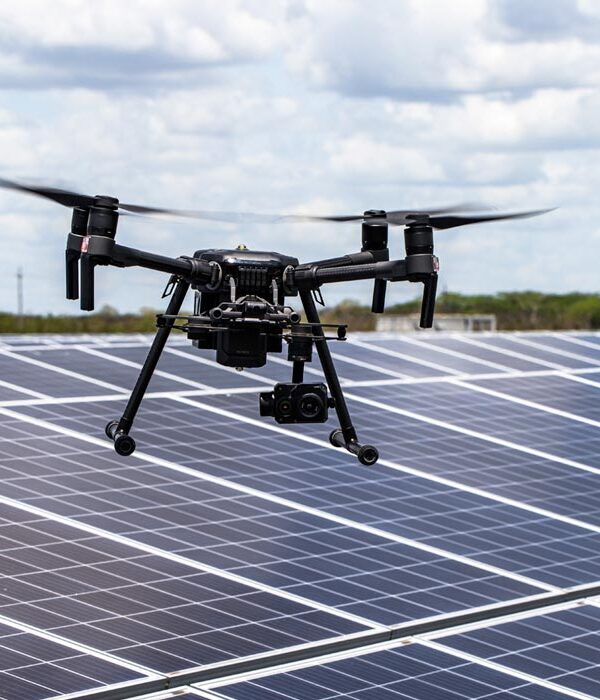
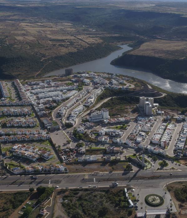
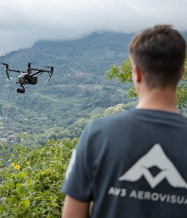
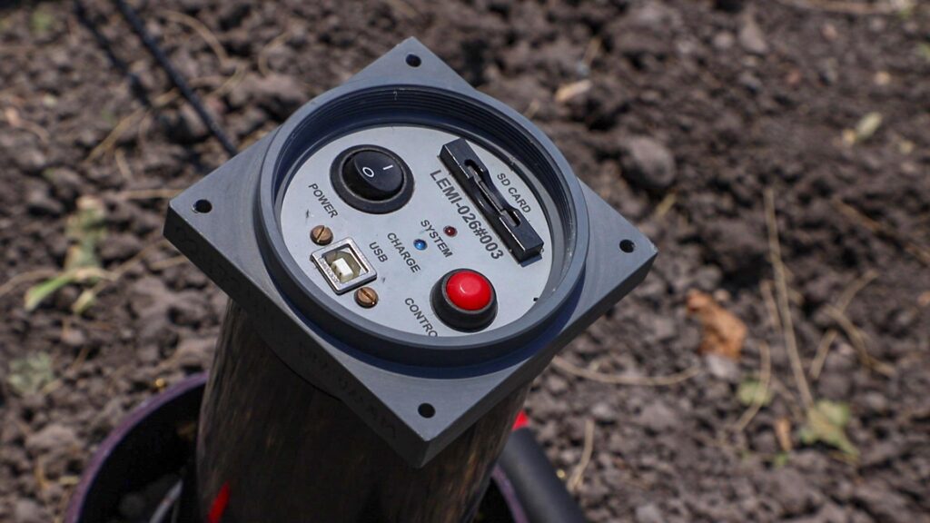
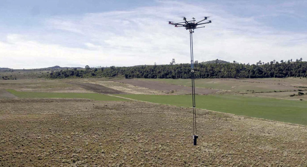
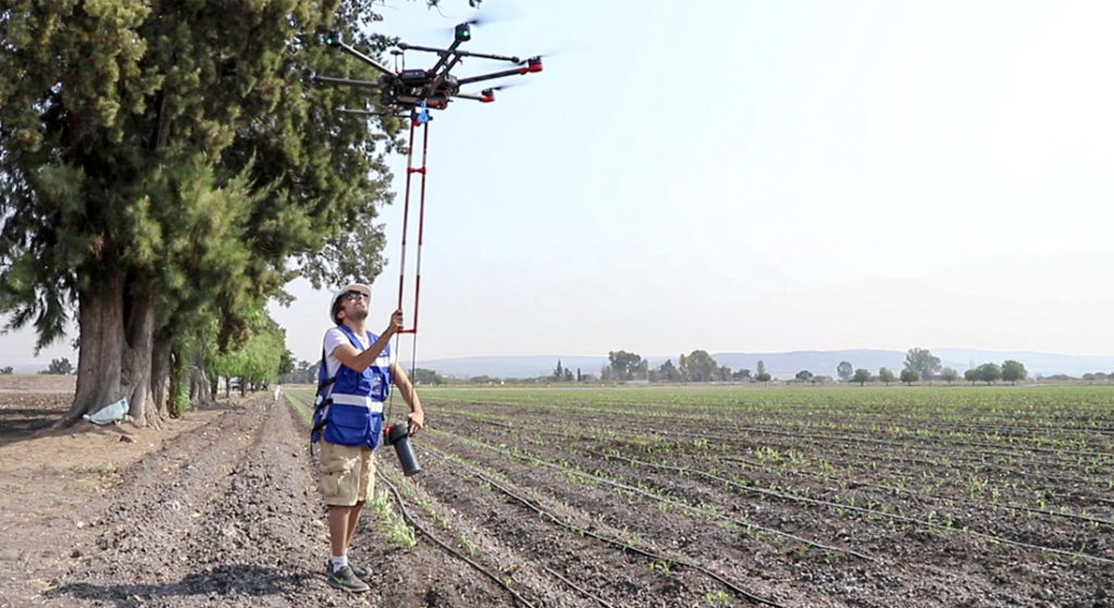
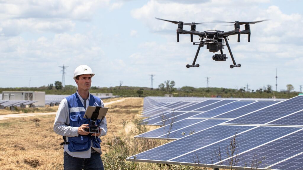
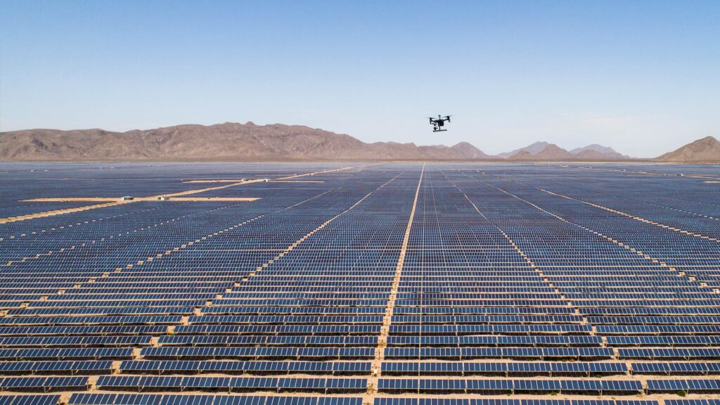
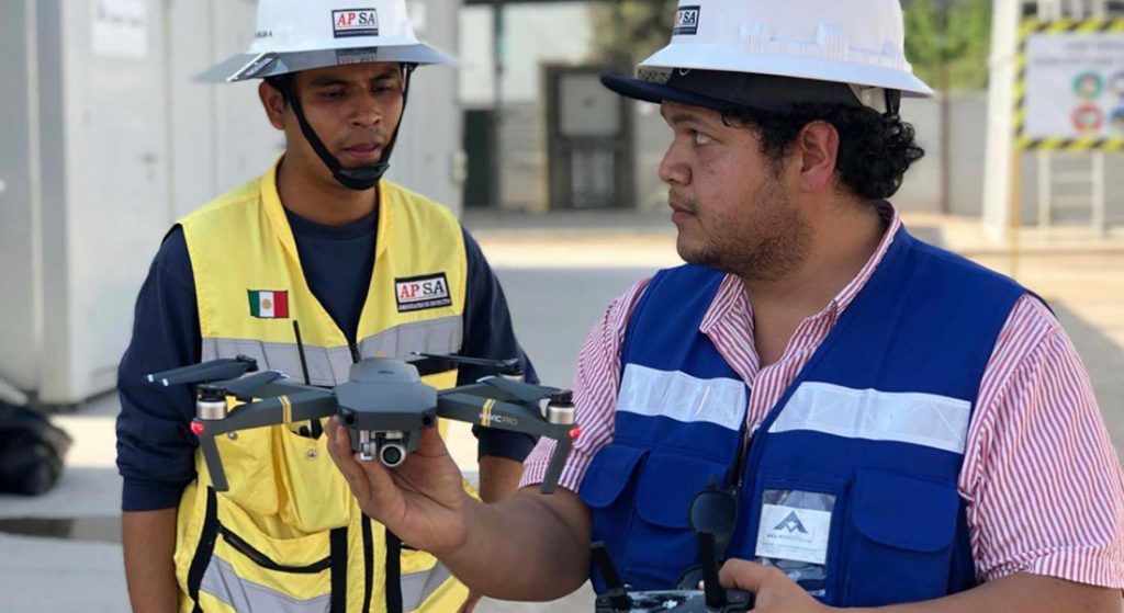
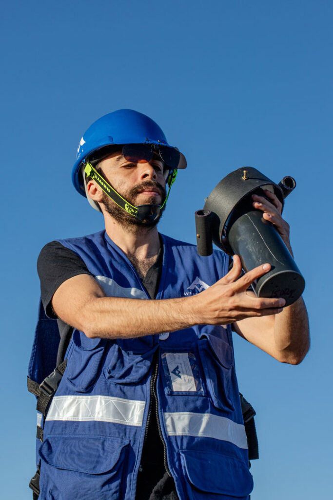
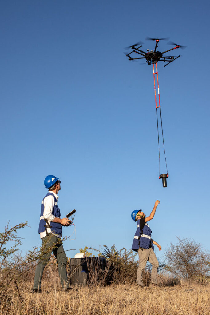
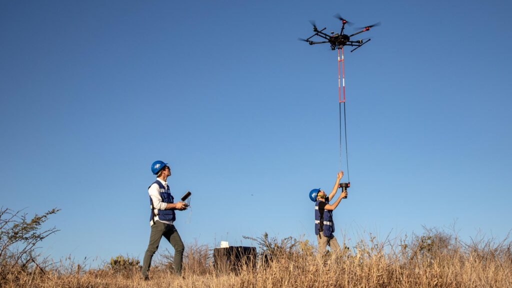
Drone aero magnetometry is a recent technique that uses unmanned aircraft and magnetometers equipped with georeferencing systems and other navigation instruments to perform magnetic scans more efficiently. Due to the possibility of designing automated missions, performing low altitude flights, and covering long distances in a short time; magnetic surveys become much more controlled and precise, obtaining high precision magnetic results.
What is magnetometry for?
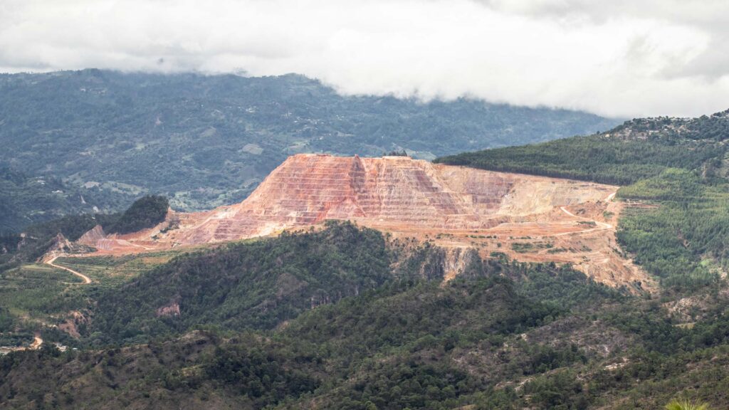
Magnetometric exploration is mainly performed to identify mineralized zones where mineral veins or other resources of interest can be found.
This study is very useful for all types of companies and industries that require subway exploration in their productive processes; for example:
- Mining
- Hydrocarbon exploration
- Construction and civil works
- Archaeology
- Agriculture
How does aero magnetometry with drones work?
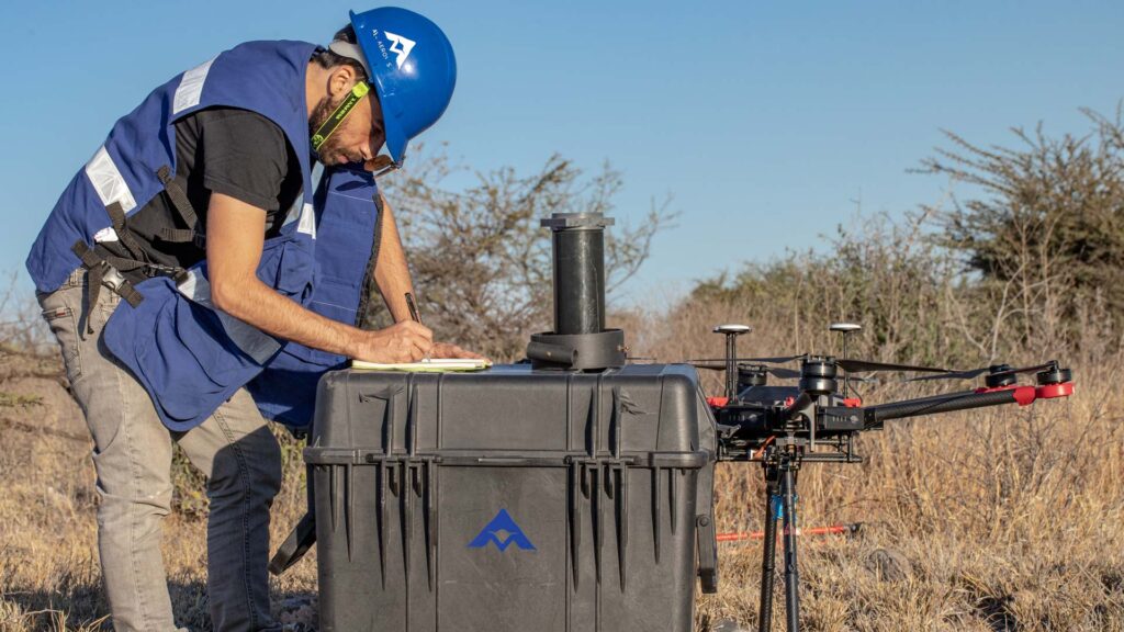
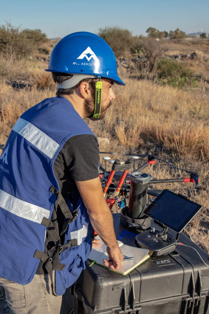
It was mentioned that drone aero magnetometry is performed with special magnetometers loaded by unmanned aircraft performing automated flights; however, the survey and data acquisition are only the first part of the process.
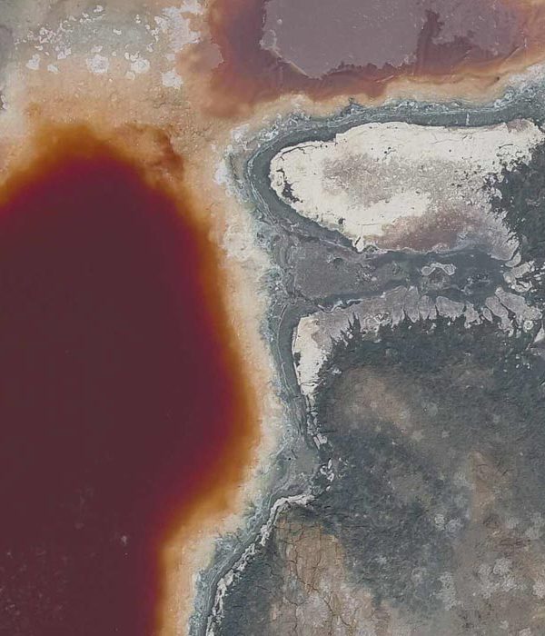
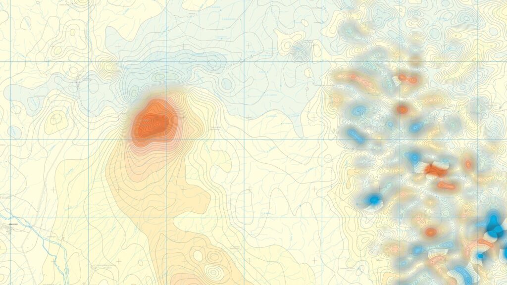
Once the magnetic data is acquired, it has to be cleaned, analyzed, and visualized in various ways to generate the magnetic maps. It is important to emphasize that data analysis is a very important process of the study, since depending on the analysis and visualization of the data, the results can be used to make a better interpretation.
It is interesting to understand that not all mineral resources sought for extraction are inherently magnetic. For this reason, it is very important to have a team of experts who, together with geological studies of the area, can analyze the obtained magnetic data and determine the results. These studies when delivered should be signed by an expert responsible for ensuring the understanding and use of magnetic maps.
What are the advantages of aero magnetometry with drones?
Drone magnetometry, compared to other exploration methods such as diamond drilling or explosives, is much cheaper, versatile and efficient. In addition, these traditional methods, although common and reliable, can also be slow, expensive and with additional risks.
For example, on a 50-hectare site, 10 or more drill holes may need to be drilled just to identify the mineralized zone; in addition to specific studies to analyze the vein and ore grade of the zone. With aero magnetometry, one or two surveys can obtain the data to generate the magnetic map of the ground and identify exactly where the mineral vein is. Instead of applying 10 or more drill holes, we can perform only those necessary to have a physical confirmation and start the extraction process; saving money and starting to produce with the extraction of the resources.
Magnetometry with drones is very versatile, since it allows to carry out projects at all scales, from small to macro studies, ensuring safe and early returns on investment.
Benefits of aero magnetometry with drones
Mainly, aero magnetometry with drones can help save a lot of money and time to companies that require subway exploration.
- Considerable money is saved by avoiding “blind” drillings or bores, performed without prior information.
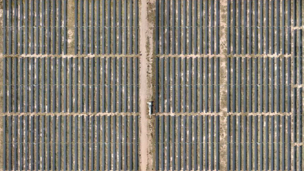
- Considerable time savings in exploration: With aerial magnetometry with drones, areas between 50 and 150 hectares can be explored per day.
- Efficient search for investors or subsidies with reliable projects: With the certainty that there are extractable resources in a field, projects can be sold more easily, attracting investors and making financial plans of a larger scale.
- Safety and efficiency in exploration

Things to consider when performing or hiring drone aero magnetometry services
As in all industrial activities, the use of drones also has its inherent risks. Misuse, inexperience or negligence in an exploration, can bring delays and other unwanted consequences. That’s why drone exploration must have its processes established, rigorous and measurable; and both the equipment and the operators must have their respective identifications, certifications and standards to carry out the inspections.
In Mexico, the Ministry of Communication and Transportation through the Federal Agency of Civil Aviation controls all activities related to civil aeronautics, including RPAs or drones. The current regulation for the use of drones is published in the Official Journal of the Federation under the norm NOM-107-SCT3-2019.
When contracting a drone aero magnetometry service, the following aspects must be taken into account:
- That the service provider has experience and verifiable expertise in the areas of geophysics and geology
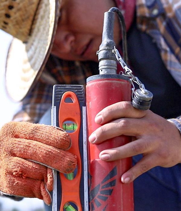
- That the service provider checks that the instruments and magnetometers are certified and correctly calibrated.
- That the equipment used is correctly registered in the Mexican Aeronautical Registry or in the country where the work will be carried out.
- That the drone operator has a Pilot’s License of Unmanned Aerial Vehicle.
- That the pilots have demonstrable experience and flight hours
- That the service provider has valid civil liability or labor insurance
- That the service provider has a risk analysis and mitigation protocol in place
- That the service provider has the required certifications and standards to perform the inspection
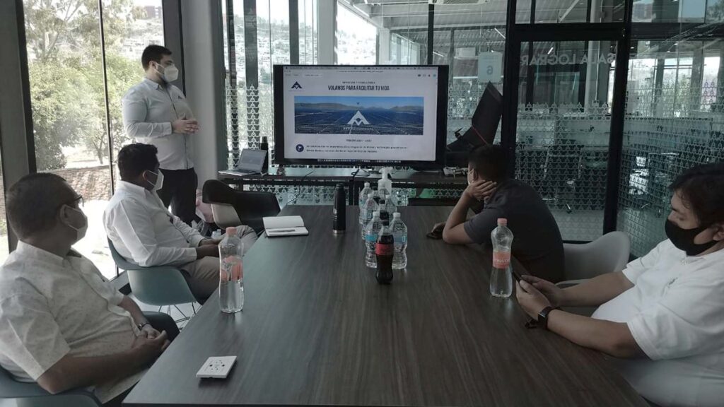
For more information about this and other topics related to the use of drones for aero magnetometry, geophysical exploration or other industrial solutions you can write to contacto@av3aerovisual.com
If you liked this article, help us spread knowledge by sharing the blog on your social networks.
Related comments
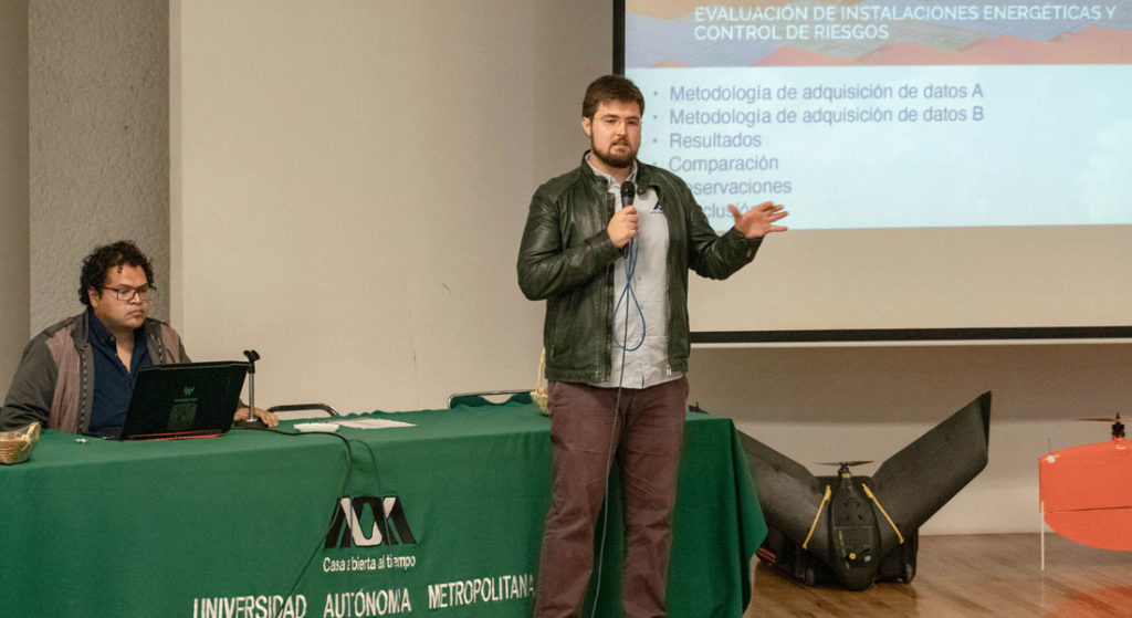
As an innovation in the area of geophysics, AV3 AEROVISUAL® has developed the AV-MAG℠ system: a drone aero magnetometry service focused on underground exploration for the location of mineral veins and other structures identifiable through magnetic anomaly maps. This system, initially developed by M.Sc. Andrés Arzate, has been successfully tested in the mining, energy and construction sectors in several research projects.
Some of the advantages of the AV-MAG℠ system are: time savings and greater precision in the acquisition of magnetic data, accessibility to rugged and hard-to-reach areas, and the versatility to cover large areas. However, the most important thing is to save money for companies that require precision studies and subway exploration.