Loading...
Loading...
Uncategorized
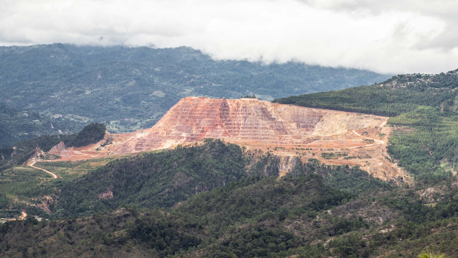
Our service for the mining sector focuses on the regional characterization of magnetic activity, adapting to the topography of the terrain and allowing its correct measurement, at high altitudes and obtaining accurate readings for interpretation.
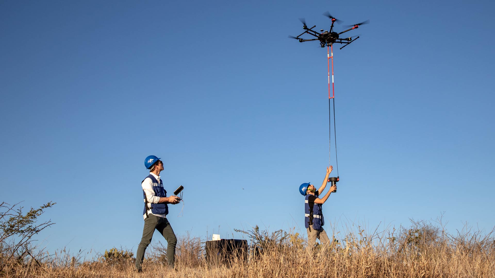
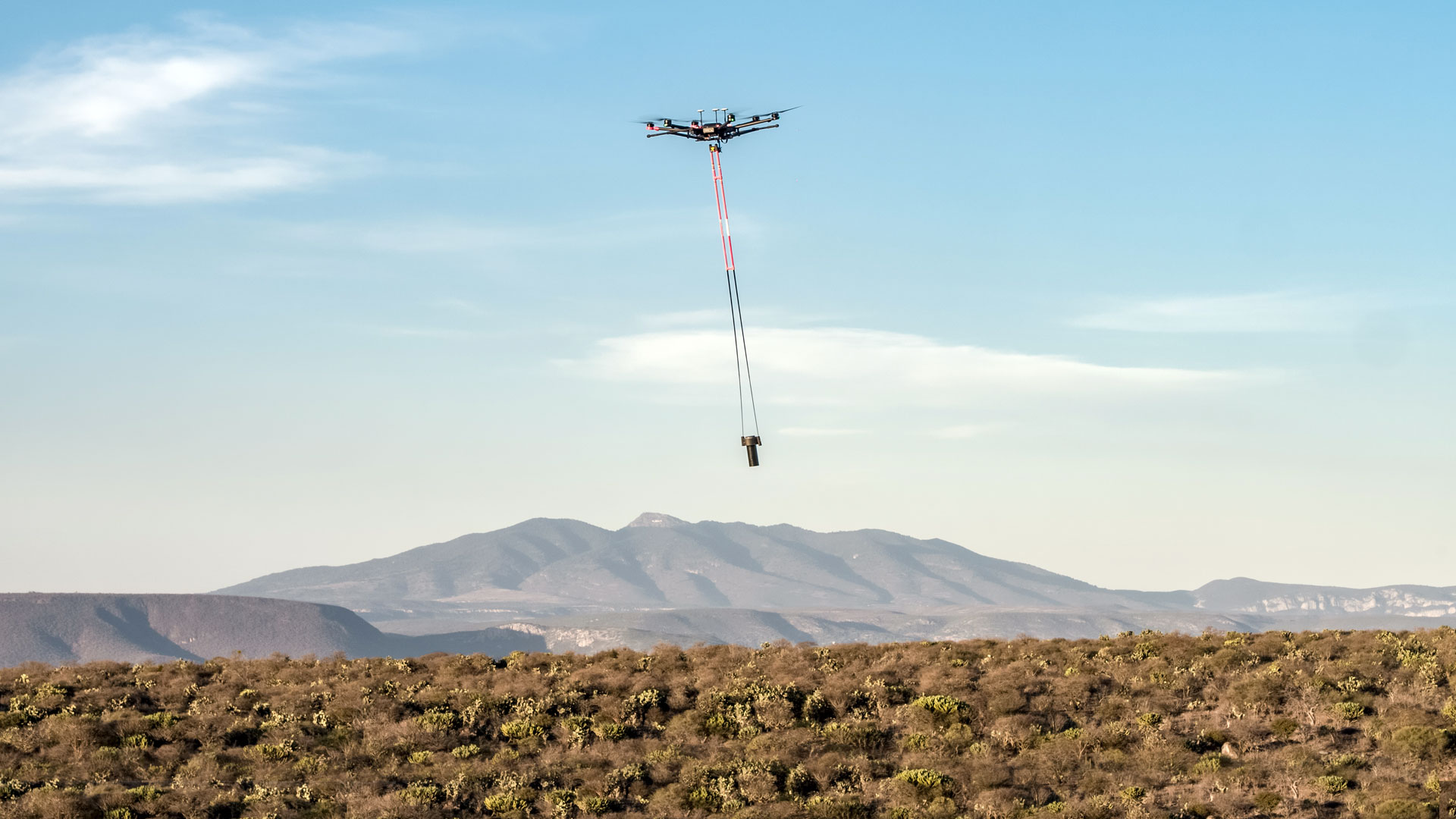
Aerial magnetometry with drones for resource search and exploration; technical talk by AV3 AEROVISUAL at the International Mining Congress, Sonora, Mexico.
Uncategorized
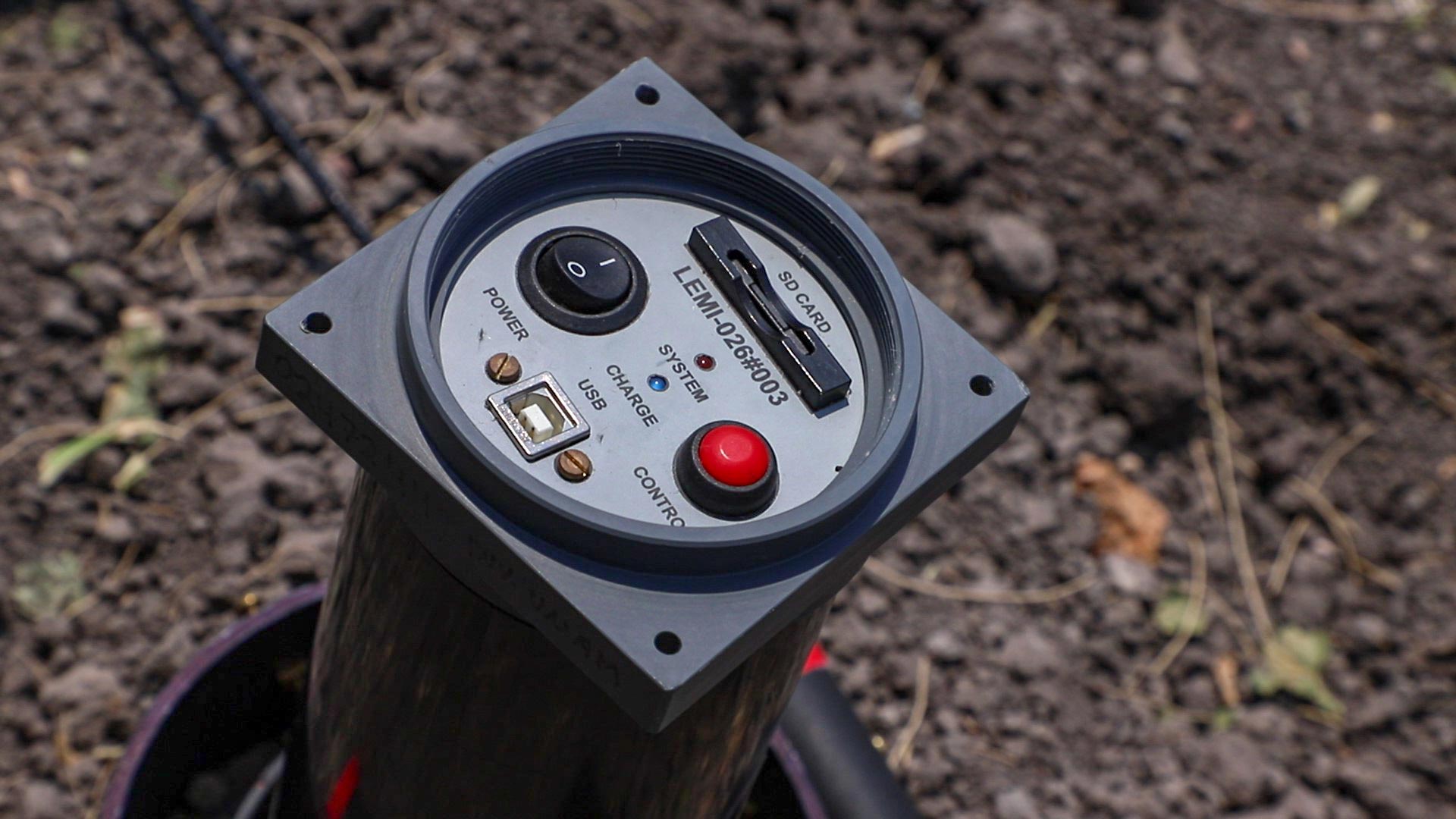
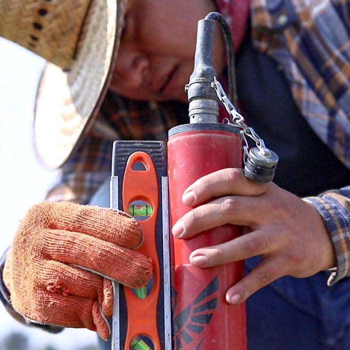
Learn about the most commonly used magnetometers for geophysical exploration, their characteristics and the principles under which they work.
Geophysics and exploration| Geophysics and exploration| Geophysics and exploration| Geophysics and exploration| Geophysics and exploration| Industrial Solutions
Drone magnetometry, compared to other methods, is much cheaper, versatile and efficient. With aerial magnetometry, subsurface exploration can be done to locate mineral veins and other identifiable structures through magnetic anomaly maps.
Geophysics and exploration| Precision agriculture
Audio-magnetotelluric exploration for the location of wells and aquifers. Geological study and photogrammetric survey with drones to generate a Digital Terrain Model.

Geophysics and exploration| Precision agriculture
Hydrological study and geological analysis for the location of water wells and aquifers; to identify the water capacities of your land and use the water in a more efficient way.