Loading...
Loading...
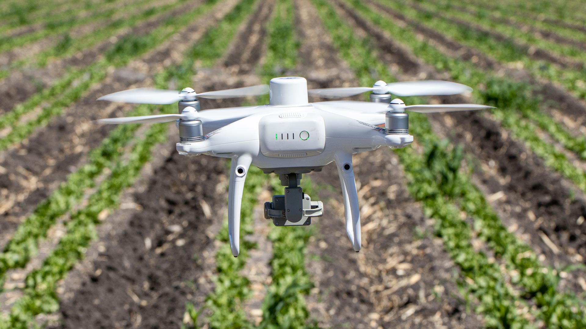
Our precision agriculture services use drones, precision technologies and data analysis to efficiently manage resources, identify problems and optimize crop production. These services optimize resources and costs, automate and improve production processes for sectors such as agriculture, hydro-agriculture, agro-industry, agri-food, agro-chemicals, agricultural research, sustainable development and sustainable agriculture.
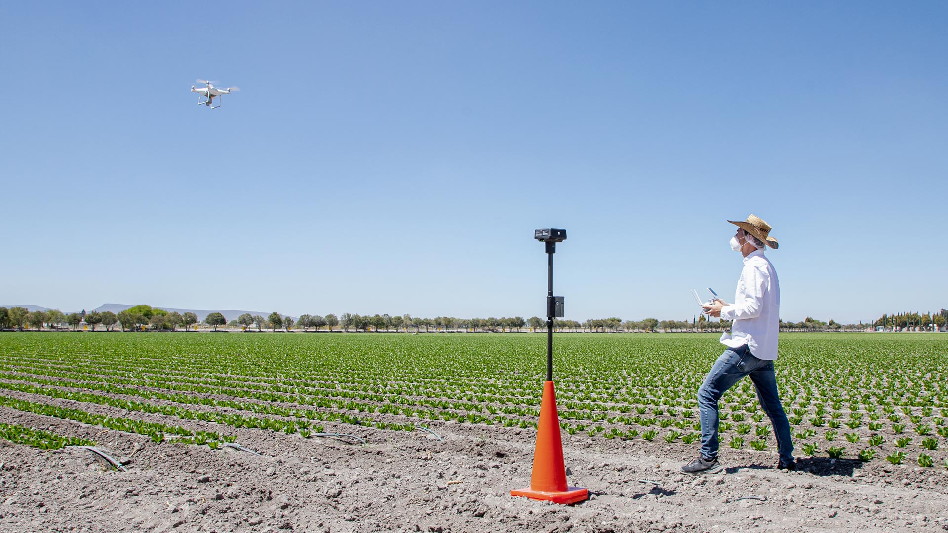
All our services are insured and all our operators are licenced drone pilots.
How to design the best solution in precision agriculture? Researchers members of the International Society for Precision Agriculture in an interview with AV3 AEROVISUAL.

Precision agriculture to increase the scope of wine production. Interview with Javier Tardaguila, professor of viticulture at the University of La Rioja and researcher in charge of the TELEVITIS Group at the Institute of Vine and Wine Sciences in Spain.
Uncategorized
La agricultura de precisión mejora la producción, calidad y sustentabilidad de los cultivos. Hoy las tecnologías son más comunes y accesibles para pequeños y medianos productores que buscan obtener un mayor rendimiento de sus cultivos sin comprometer al medio ambiente.
Geophysics and exploration| Industrial Solutions| Precision agriculture| Precision agriculture| Precision agriculture| Precision agriculture| Precision agriculture| Precision agriculture
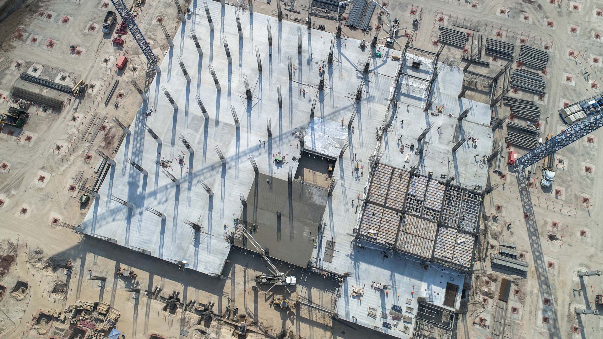
Aerial inspection with drones adds value and intelligence for different sectors of the industry, it is a review to prevent, detect or correct some kind of problem. By using a drone, qualitative and quantitative information can be collected from an asset or a location of difficult access, making the inspection safe and efficient.
Geophysics and exploration| Precision agriculture
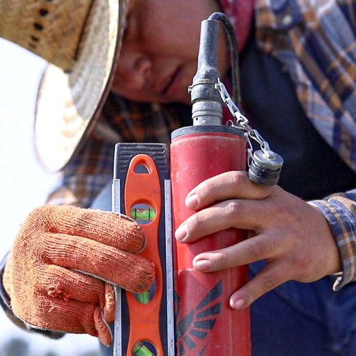
Audio-magnetotelluric exploration for the location of wells and aquifers. Geological study and photogrammetric survey with drones to generate a Digital Terrain Model.
Uncategorized
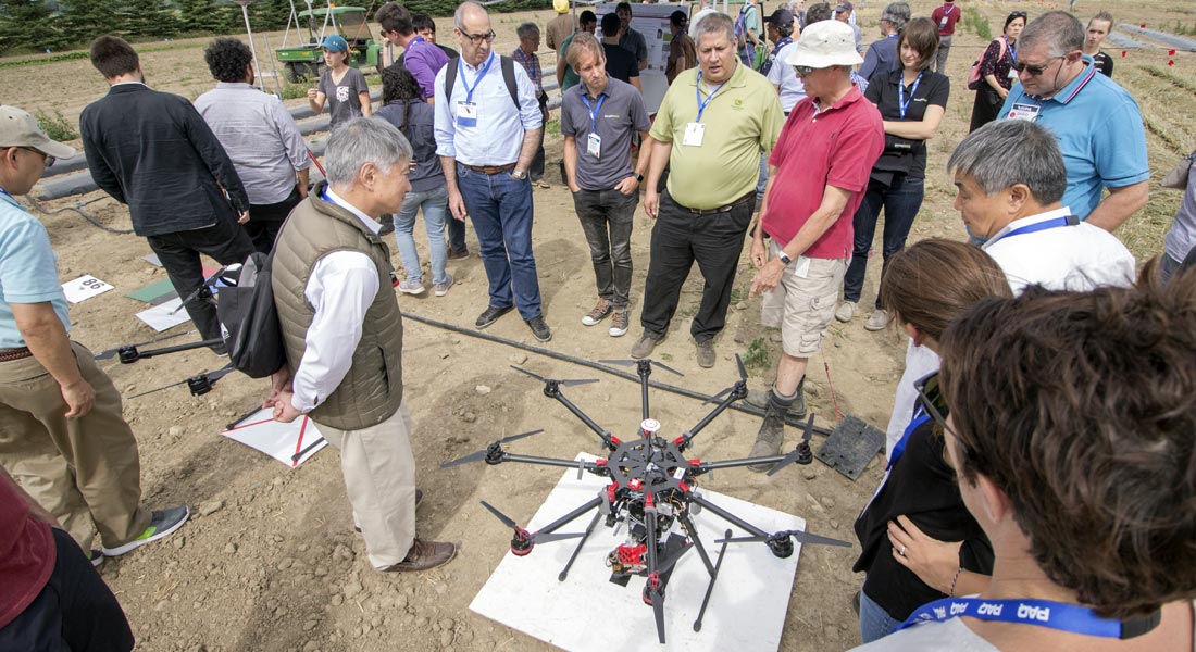
Mexico was present at the 14th edition of the International Conference on Precision Agriculture ICPA 2018, organized by the International Society of Precision Agriculture (ISPA) in Montreal, Canada.