Loading...
Loading...
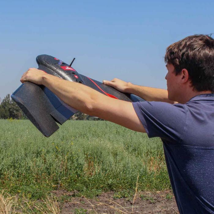
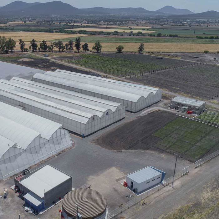
Our precision agriculture services use drones, precision technologies and data analysis to efficiently manage resources, identify problems and optimize crop production. These services optimize resources and costs, automate and improve production processes for sectors such as agriculture, hydro-agriculture, agro-industry, agri-food, agro-chemicals, agricultural research, sustainable development and sustainable agriculture.
All our services are insured and all our operators are licenced drone pilots.
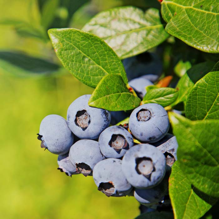
Estimation of macronutrient variability and vegetation indices in blueberry, blackberry and raspberry crops in Ciudad Guzman, Jalisco.
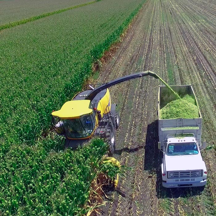
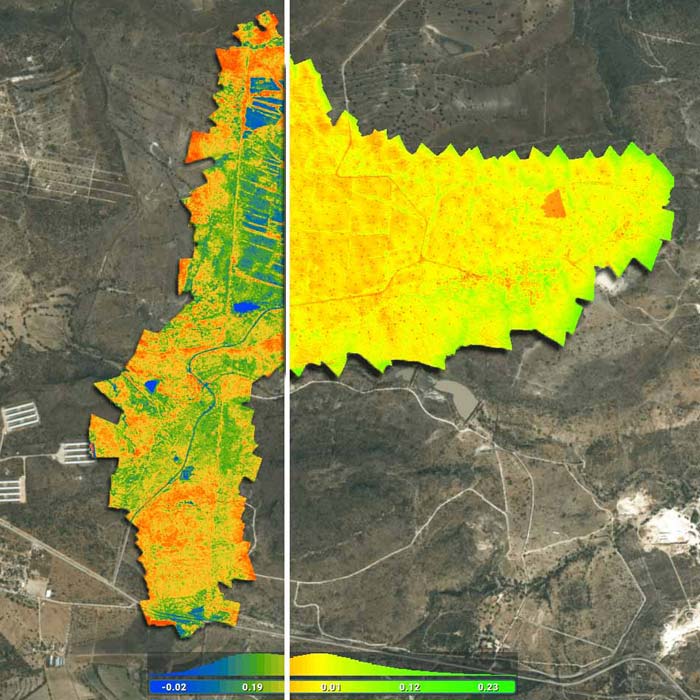
Multispectral monitoring with drones and vegetation indices for corn, alfalfa, sorghum and triticale crops in the area of Obrajuelo, Guanajuato.
Multispectral mapping with drones, vegetation indices, biomass estimation, pest detection and zoning for agrochemical application in alfalfa and sorghum crops for El Coyme Ranch, Querétaro.
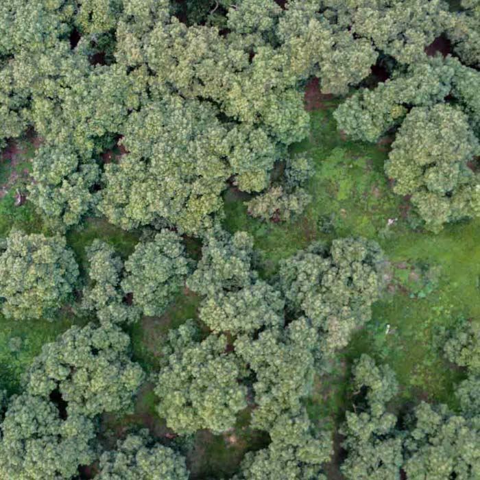
Multispectral mapping and generation of vegetation indices in avocado crops for agrochemical application.
Multispectral mapping with drones and vegetation indices for the Tec de Monterrey Experimental Agricultural Field (CAETEC)
Multispectral monitoring service with drones to obtain vegetation indices, biomass estimation, pest detection and zoning for the application of agrochemicals in crops.