MULTISPECTRAL MONITORING
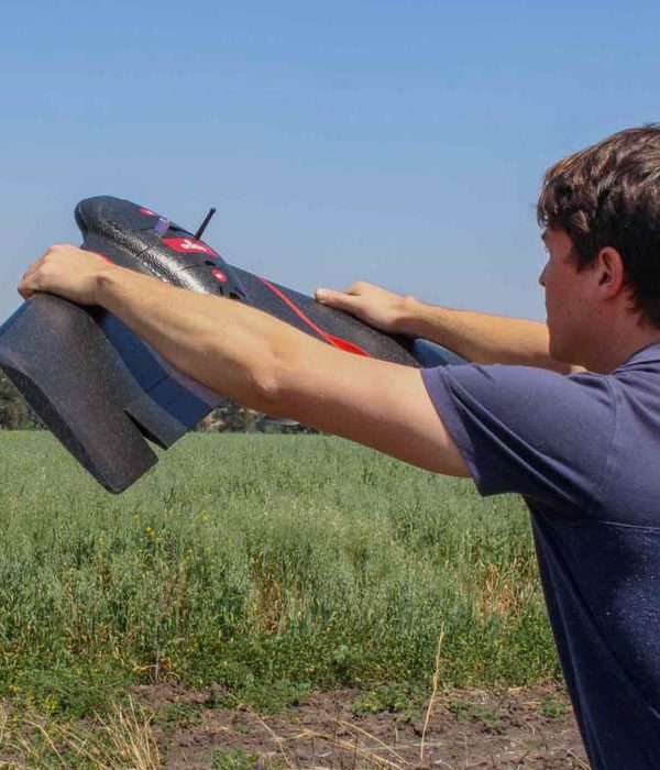
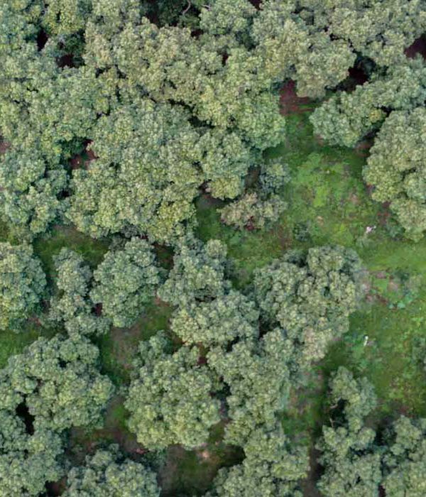
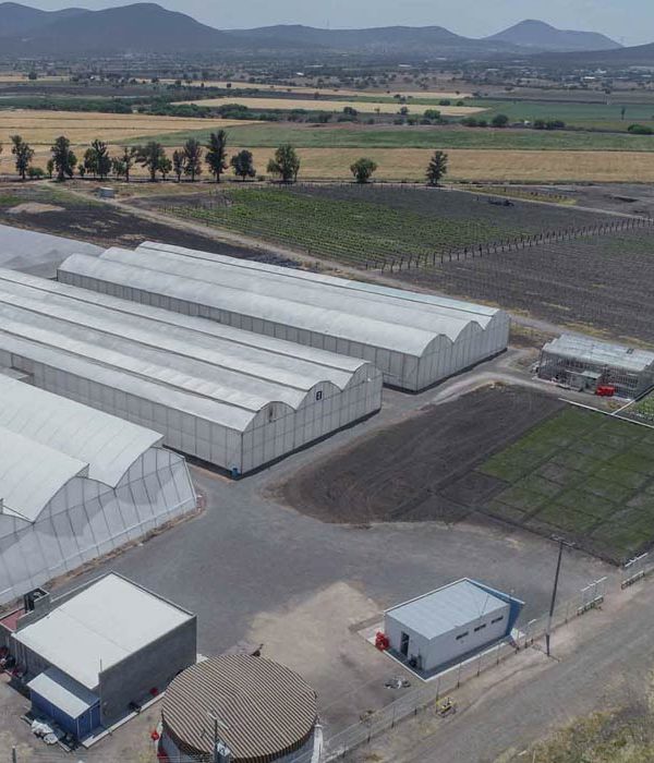
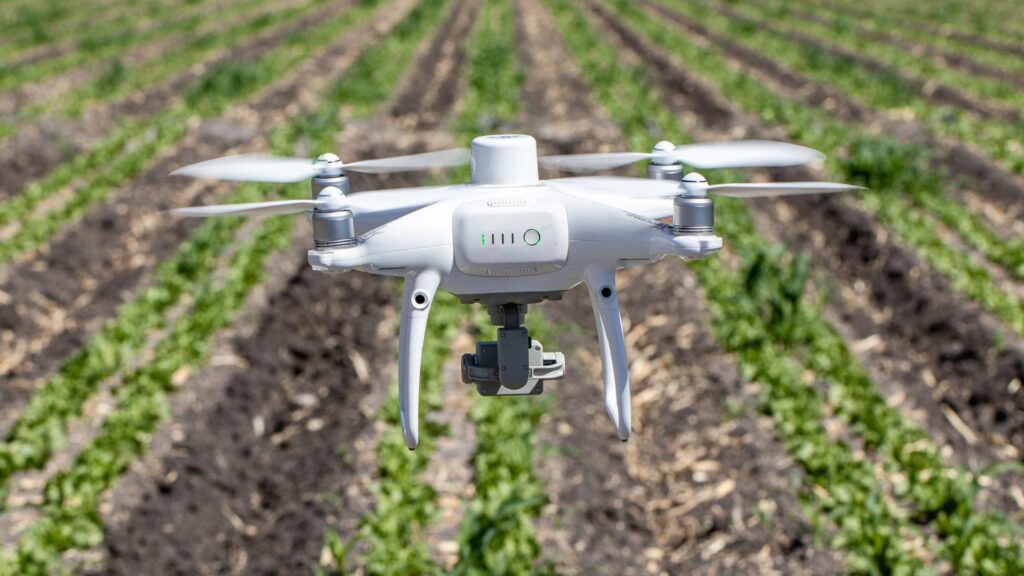
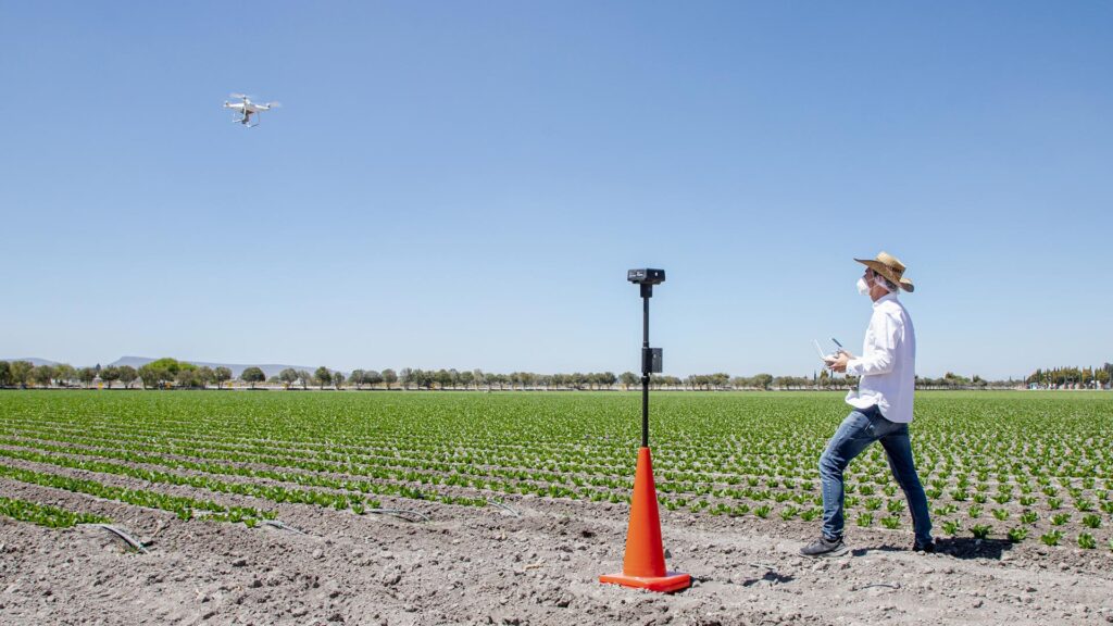
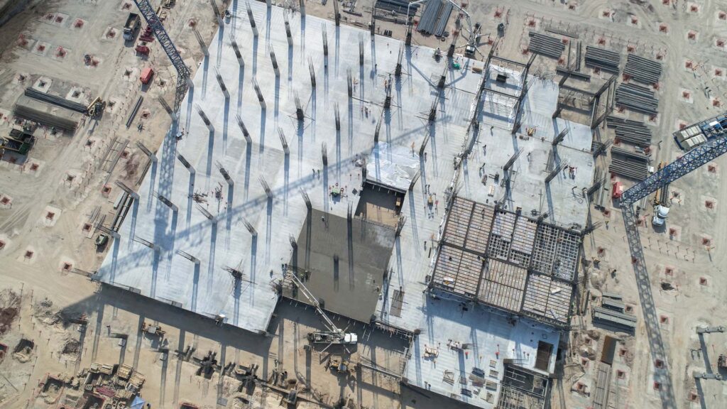
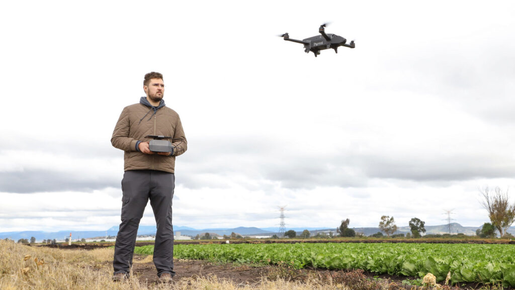
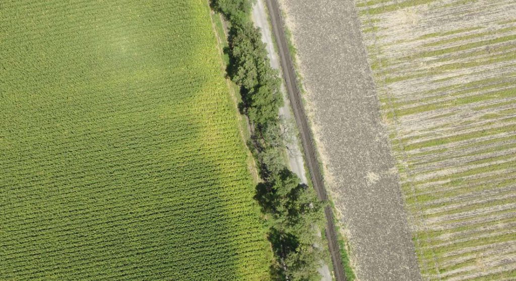
With high definition aerial images you will be able to explore your ranch in detail from your computer, tablet or cell phone.
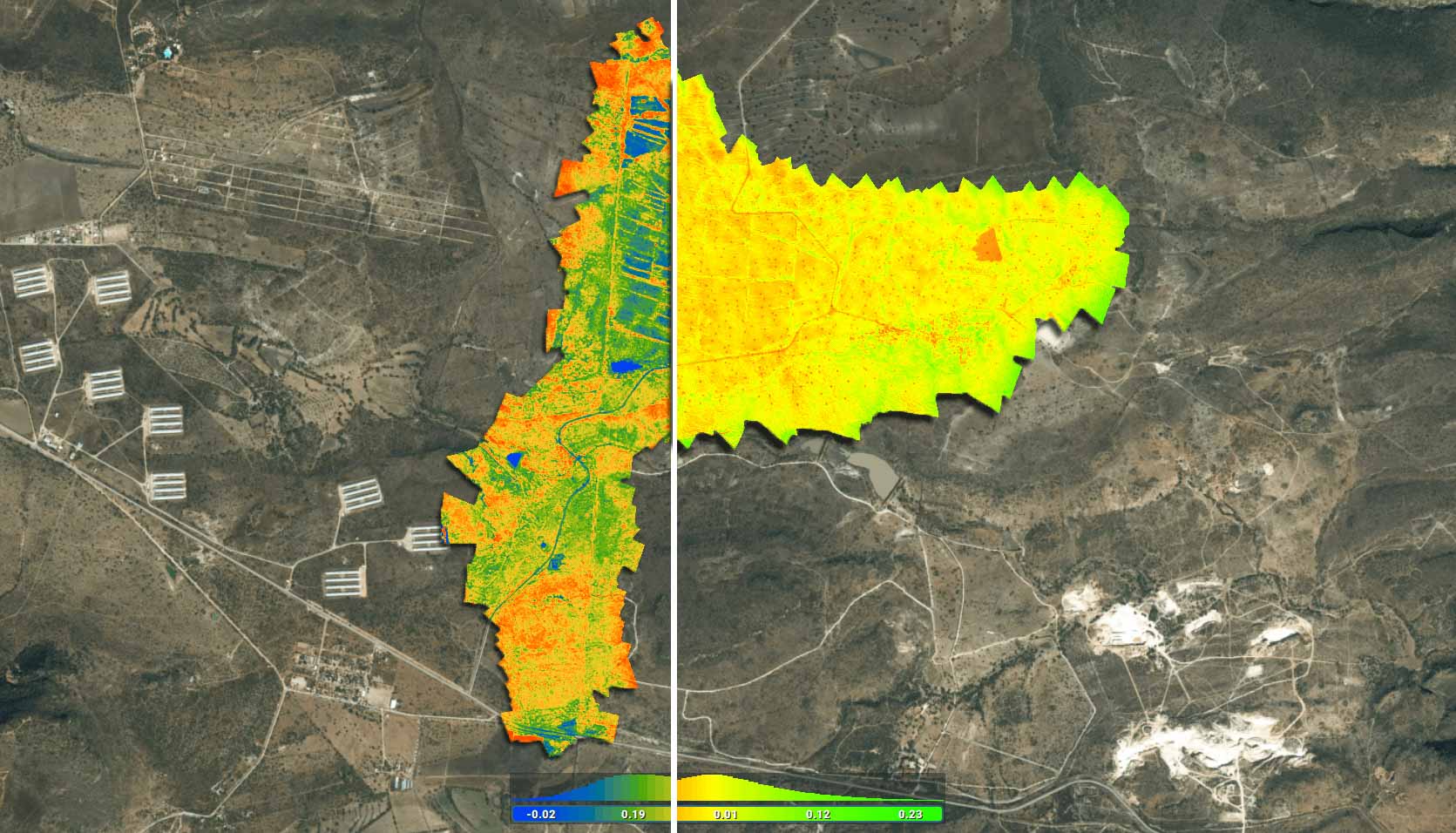
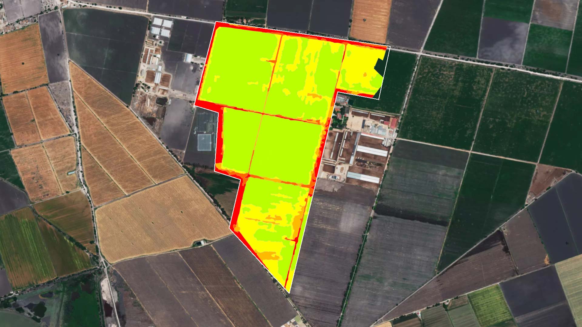
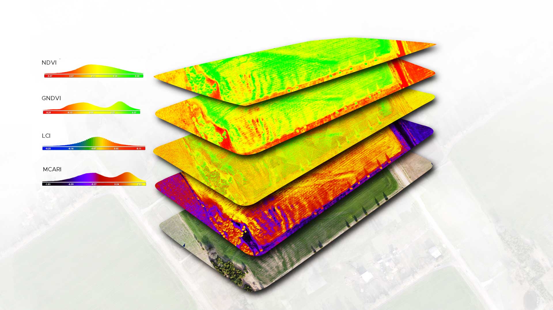
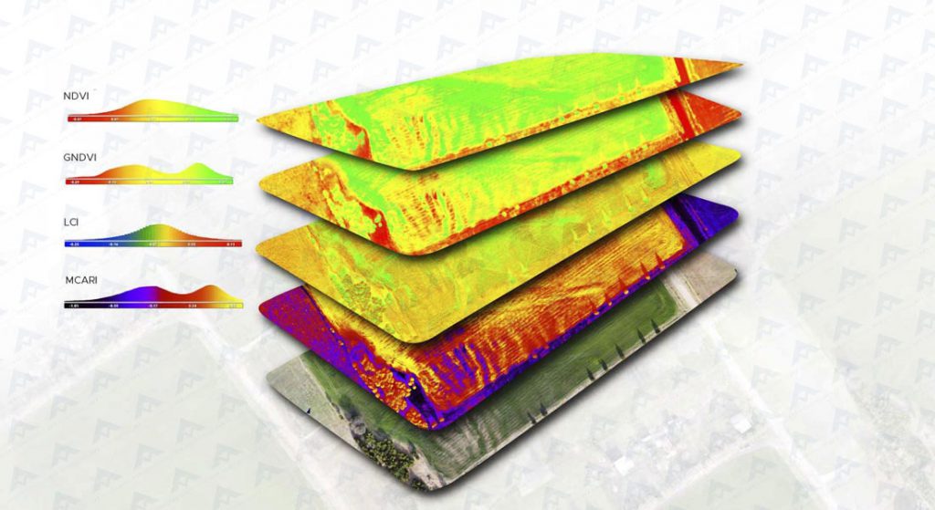
The normalized vegetation indices generate great value for the control and analysis of your land:
Monitor key moments of your crop cycle
- Generates nitrogen variability maps
- Detects and anticipates pests
- Generates precise strategies of variable application
- Optimize your irrigation
- Get relative biomass maps
- Optimize your production
More intelligence, more efficiency, more control.
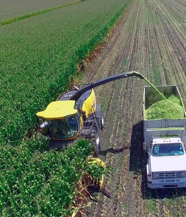
Our cloud-based platform allows you to keep a chronological record, so you can compare past cycles or see specific moments in your production cycle. Observe relevant situations such as planting, machinery use or harvesting and increase control over processes from the comfort of your home or office.

