Loading...
loading
Loading...

Precision agriculture with drones

Author : AV3 AEROVISUAL

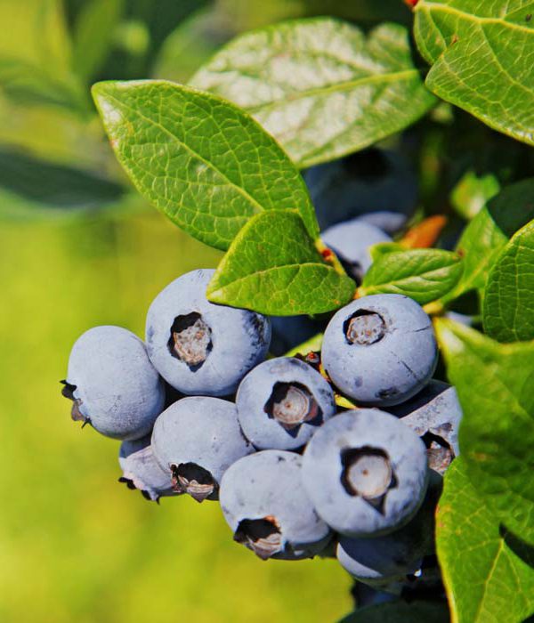
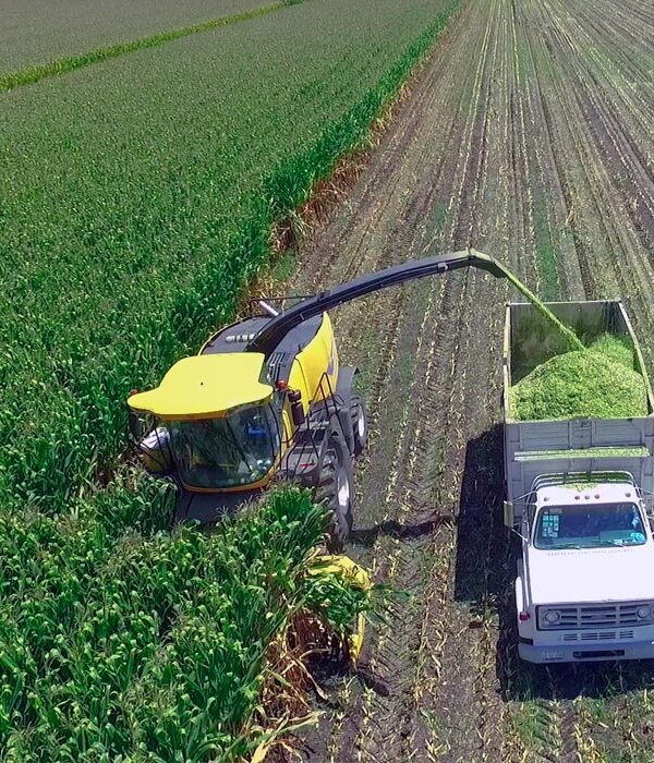
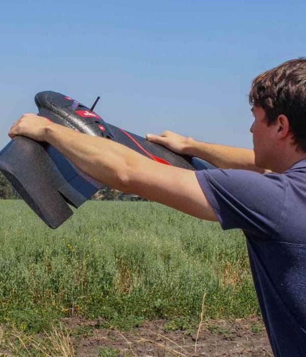
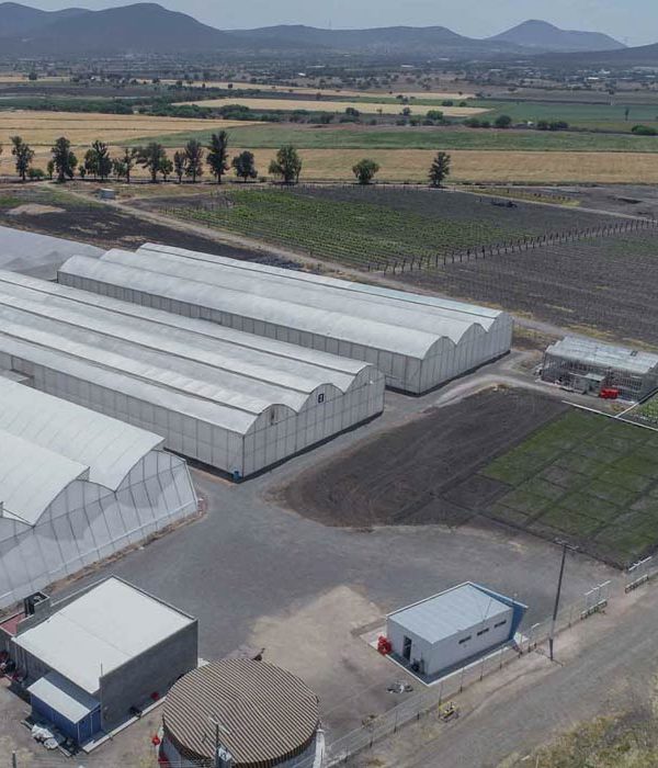
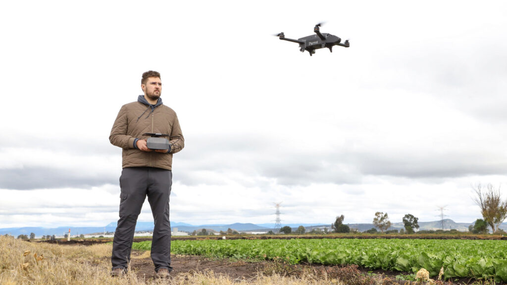
Precision drone farming is one of the techniques that generate the most interest in the industry, for its effectiveness and precision to monitor large field areas.

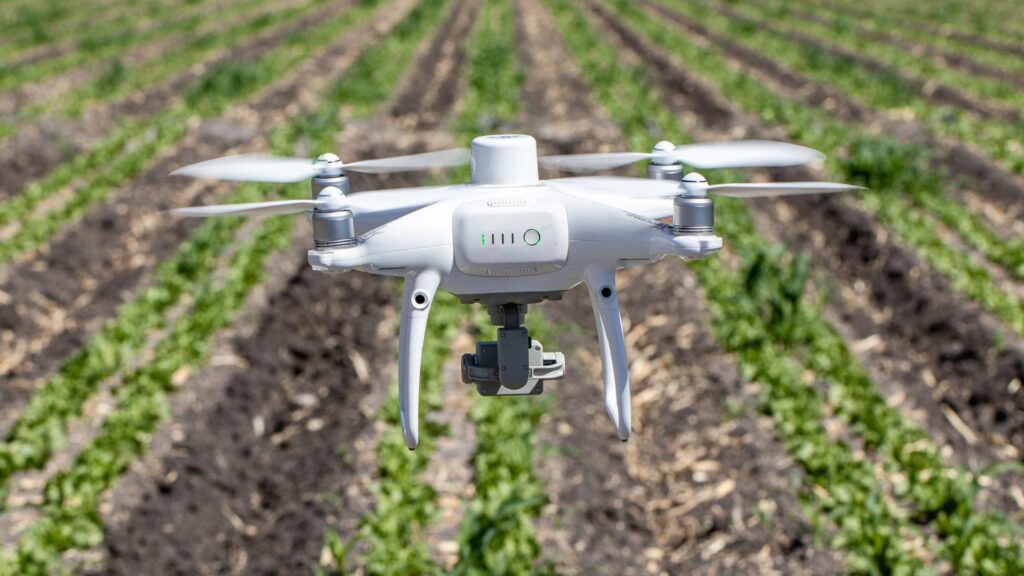
Drones and their automation together with multispectral and hyperspectral sensors, thermal cameras and spray instruments, are examples of the most used tools for the development of new technologies and agricultural services.

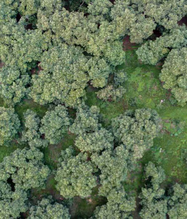
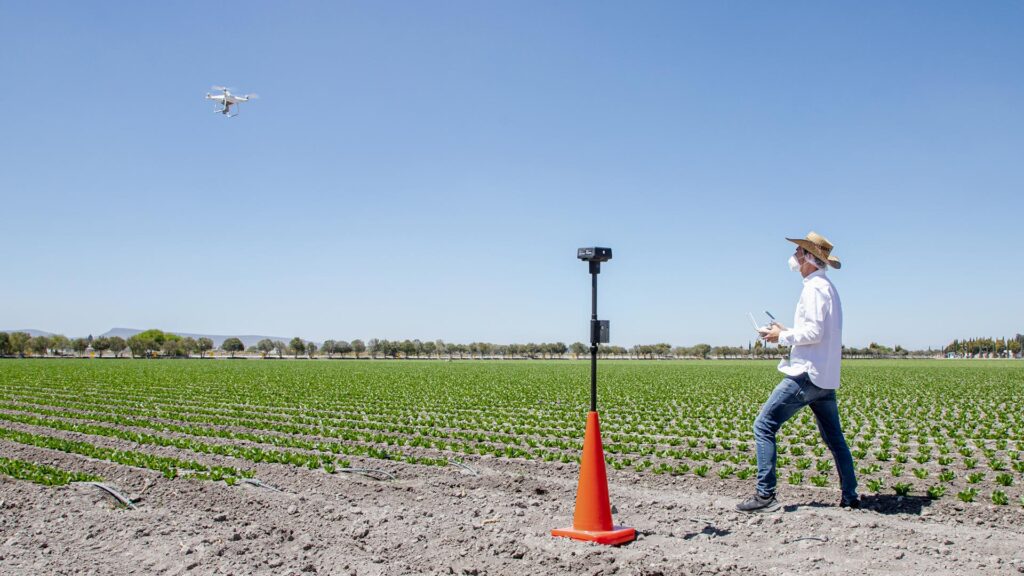
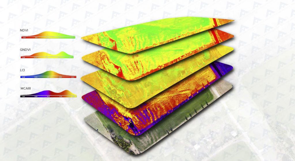
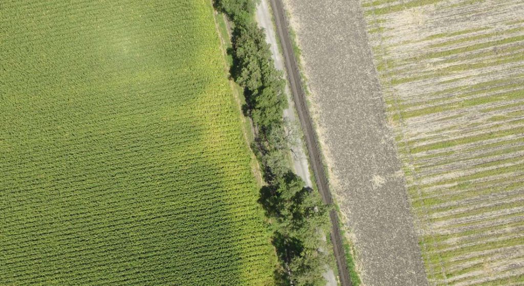
Using drones as monitoring and analysis tools can be very efficient in generating valuable information about crops. First, an orthophoto can be obtained to visually analyze the field with great precision. Also, topographic analyzes such as altimetry, contours and terrain and surface models can be performed.

Through multispectral image processing, color maps with multiple vegetation indices are obtained; depending on the index used (NDVI, NDRE, VARI, OSAVI, etc). Various aspects of crops can be observed, such as: water stress, breathing and chlorophyll, macronutrient levels, pests, relative biomass indices and many other variables of great importance for productive exercise.

As a service, precision agriculture with drones requires direct communication between the agronomist in charge of the crops to be monitored and the service provider; seeking a detailed customization to ensure the objective of granting more intelligence, more control and more efficiency in the productive exercise.

EXPLORE THE BLOG

Services :
Consulting and research
Precision agriculture

We help you find the best precision agriculture solution for your project through customized consultancies, with the aim of increasing efficiency, control and performance in your production.

More Information ...
Multiespectral monitoring
Precision agriculture

Multispectral monitoring service with drones to obtain vegetation indices, biomass estimation, pest detection and zoning for the application of agrochemicals in crops.

More Information ...
Well location
Geophysics and exploration Precision agriculture

Hydrological study and geological analysis for the location of water wells and aquifers; to identify the water capacities of your land and use the water in a more efficient way.

More Information ...
Projects:
Related Posts : Precision agriculture

Our precision agriculture services use drones, precision technologies and data analysis to efficiently manage resources, identify problems and optimize crop production. These services optimize resources and costs, automate and improve production processes for sectors such as agriculture, hydro-agriculture, agro-industry, agri-food, agro-chemicals, agricultural research, sustainable development and sustainable agriculture. All our services are insured and all our operators are licenced drone pilots.