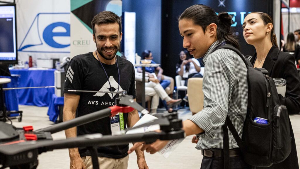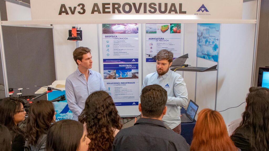
THE POWER OF PIX4D
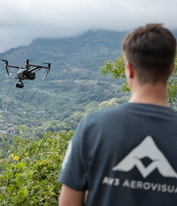
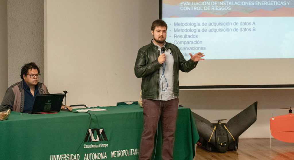
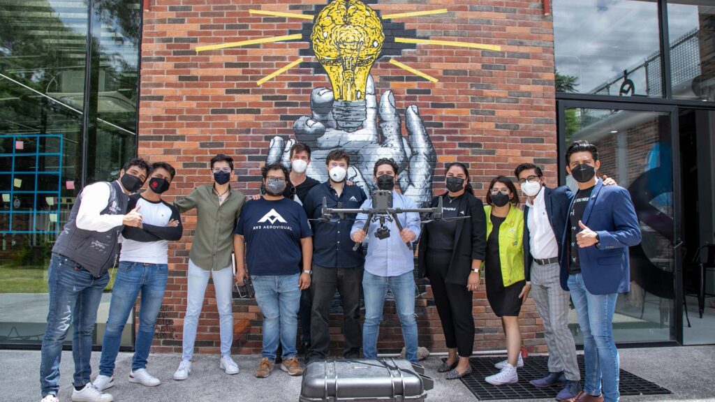
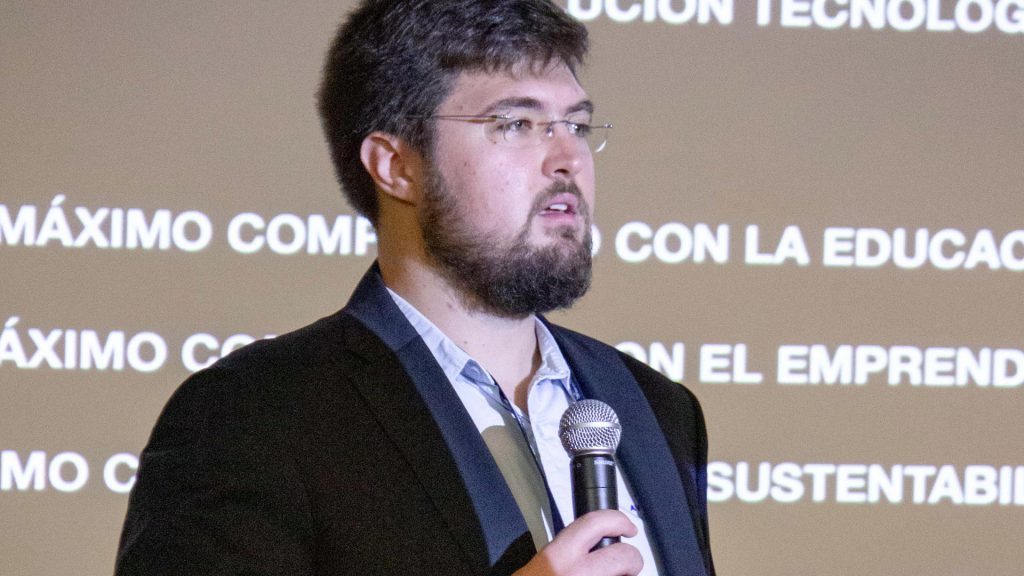
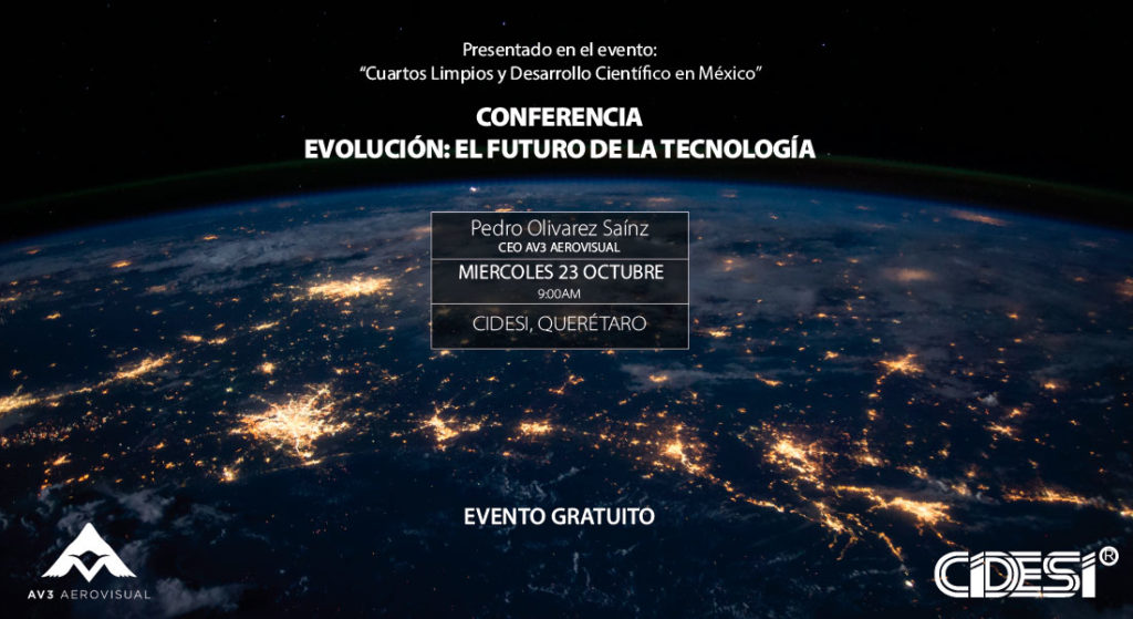
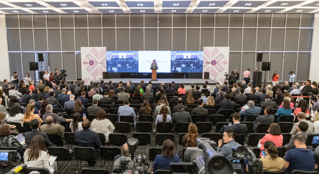
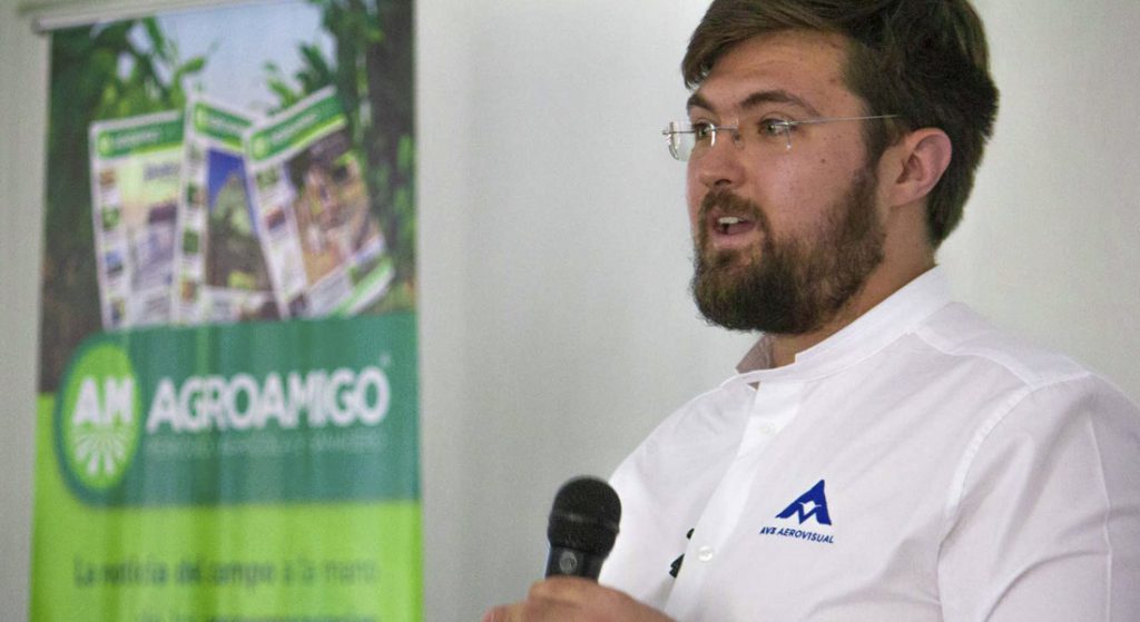
This past October 6th we had the honor of participating and sponsoring the 2nd edition of the Pix4D User Conference, a Swiss company worldwide leader in the development of photogrammetry software for mobile and drone mapping. Pedro Olivares Sáinz, Executive Director of AV3 AEROVISUAL, shared with users from 16 countries our experience and results in the generation of a digital twin of more than one million solar panels.

After making a brief presentation of our company and his professional trajectory, where he highlighted the impact it has had for AV3 AEROVISUAL to have won 1st Place in the Ebee Effect competition in 2019, strengthening since then our relationship with Sensefly and Pix4D, Pedro Olivares Sáinz, gave context to the moment currently experienced by the drone industry, which in 2020 reached a value of $22.5 billion and is expected to grow to $42.8 billion in the next five years.
In the case of the solar energy industry, the Executive Director of AV3 AEROVISUAL shared with the audience where Mexico and Latin America are currently located in terms of installed solar energy in order to understand the importance of offering services with certified drones and with verifiable experience for this sector.
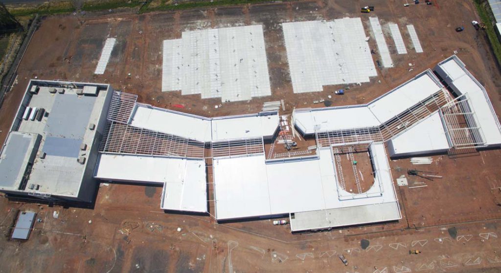
In the main part of the project, Pedro Olivares Sáinz, explained the details of this experience in three points; data acquisition, photogrammetric processing using Pix4D and results. It is important to mention that the magnitude of the survey and the results required by the client, were something completely new for the AV3 AEROVISUAL team in terms of size and the accuracy to be obtained.
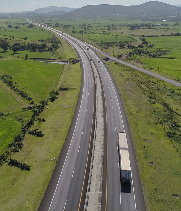
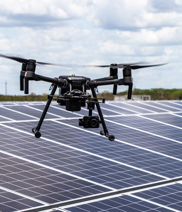
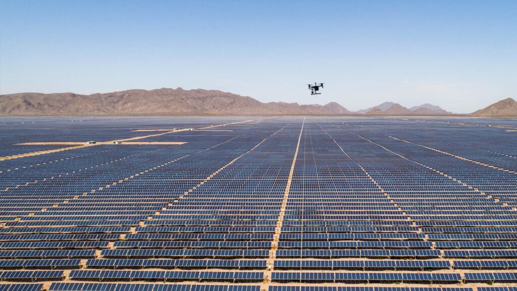
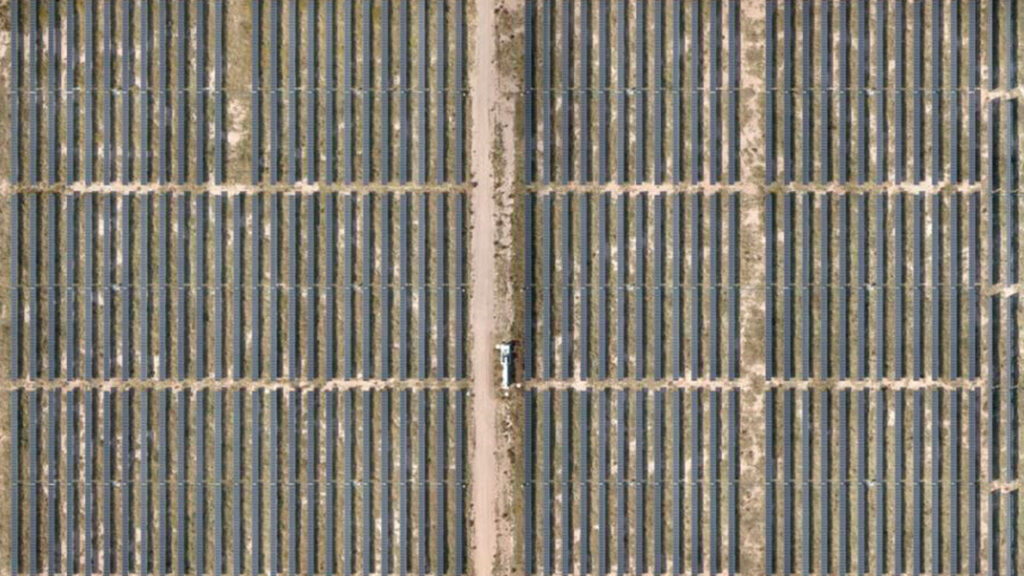
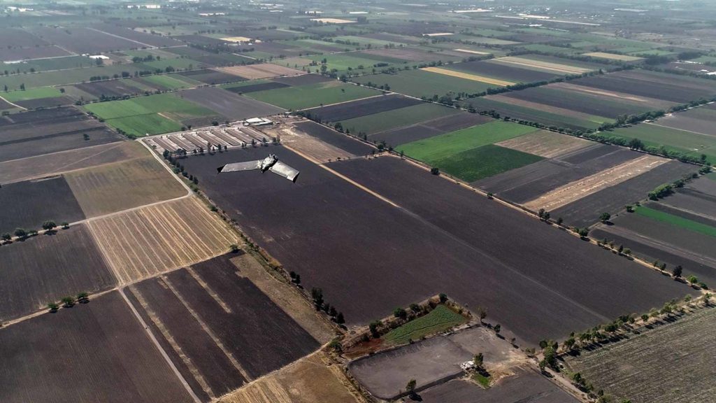
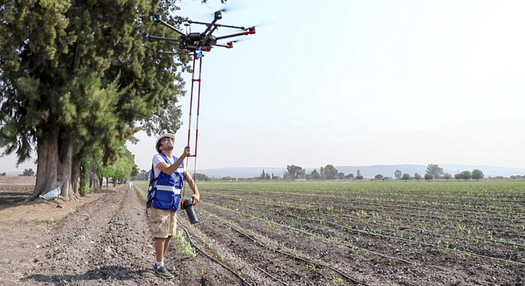
The data acquisition was carried out over a space of approximately 750 to 1,000 hectares, which represented more than one million solar panels mapped to centimeter accuracy. In this sense, it was clear to the whole team from the beginning that Pix4D would be the best tool.
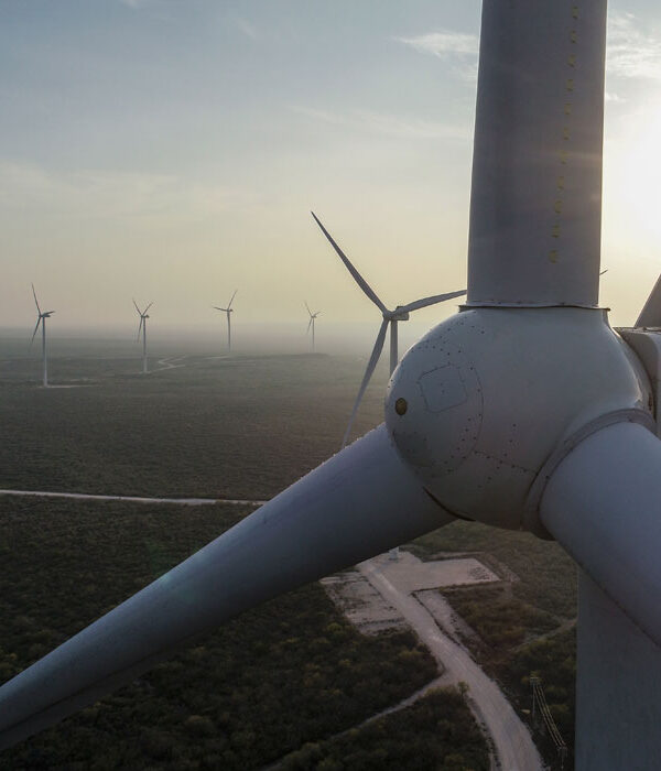
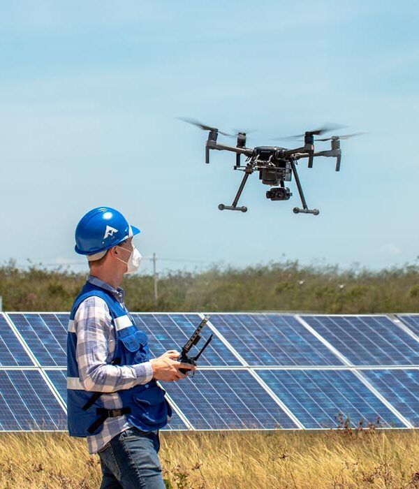
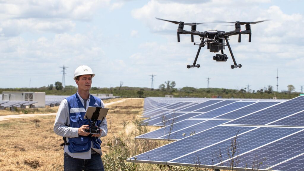
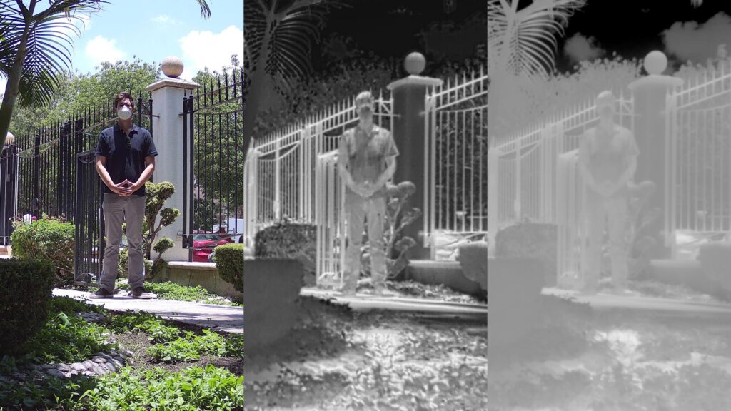
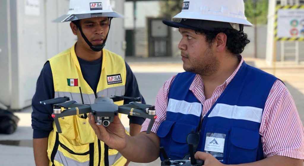
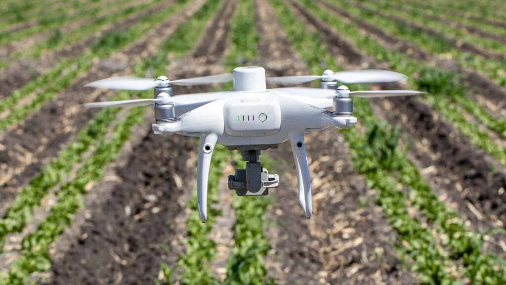
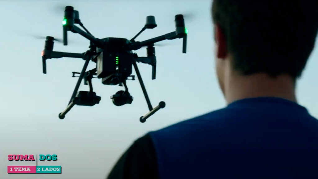
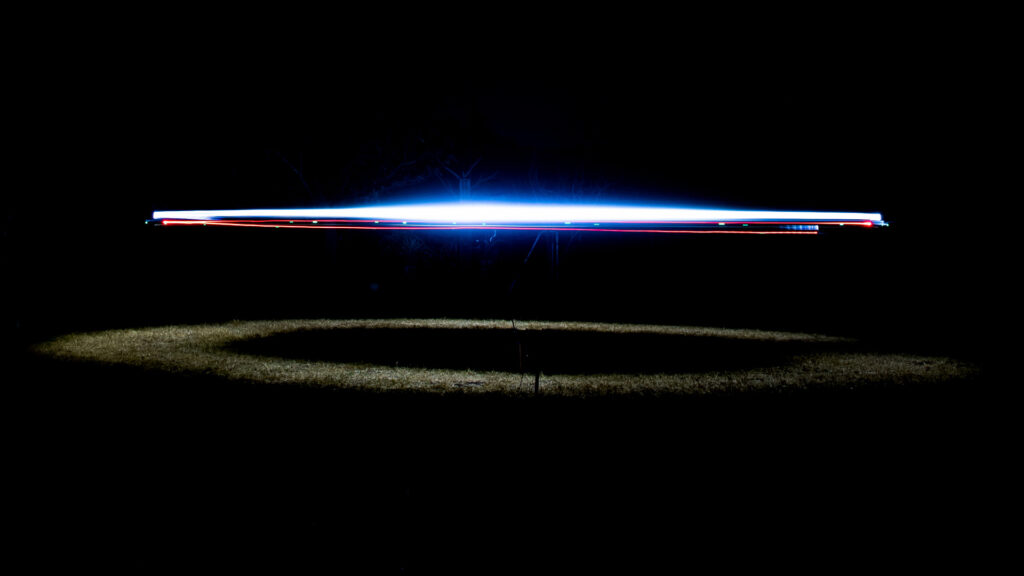
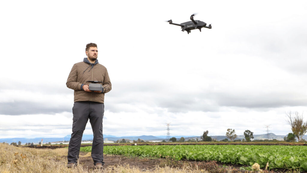
For this project, two types of surveys were performed with drones; first, aerial thermography was performed with the purpose of analyzing individual images to locate anomalies in the orthomap, where the DJI Matrice 210 RTK model was used with a 13 mm Zenmuse XT2, and then the RGB photogrammetric mapping was performed with the Sensefly eBee X fixed-wing drone with the Aeria X camera. In addition, Propeller ground control points were used in combination with real-time kinematic RTK, not only because of the size of the project, but also because of the accuracy of the results to be obtained.
We congratulate the entire Pix4D team for the excellent experience of participating in the 2021 User Conference; especially Stefany Moccetti, Head of Marketing and Corporate Events, as well as Alejandro Galvis, Senior Manager of Business Development in Latin America and the Caribbean, for their support and advice during the process prior to the conference. The AV3 AEROVISUAL team would also like to thank the people who joined us. We hope that this information will be of value and inspire other companies to increase the scope of their results with the help of the power of Pix4D.
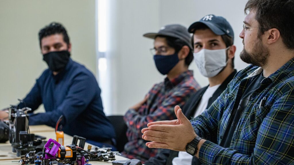
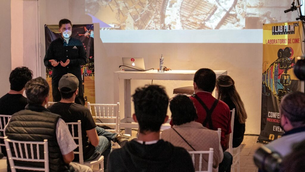
If you are a representative of a company, institution, organization or collective; and you are interested in bringing valuable information about the world of drones and their applications to the members of your community, you can write to us at contacto@av3aerovisual.com, or send a WhatsApp message to 442 129 7892. We are passionate about what we do and sharing knowledge is an essential part of our philosophy.