Loading...
loading
Loading...

What is photogrammetry and its applications

Author : AV3 AEROVISUAL

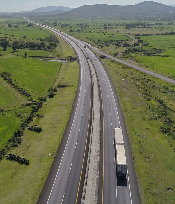
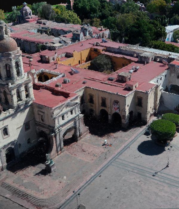
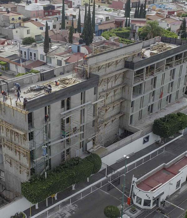
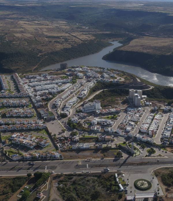
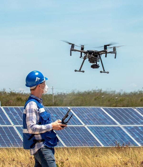
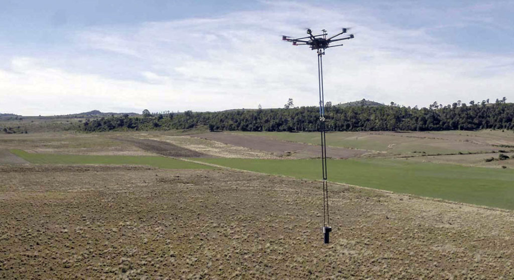
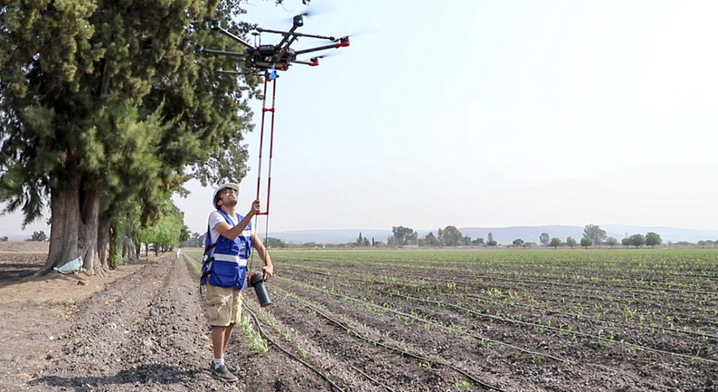
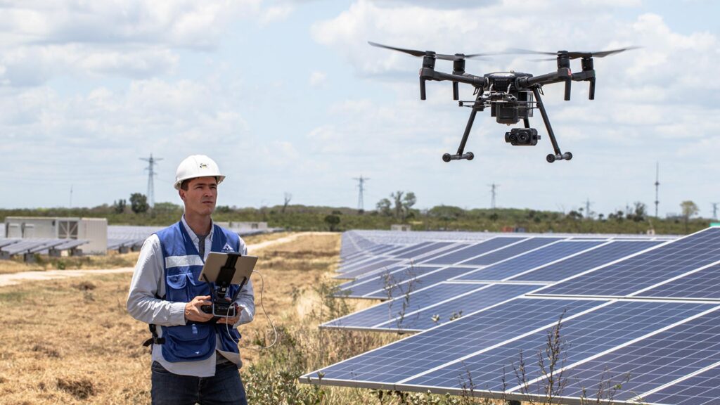
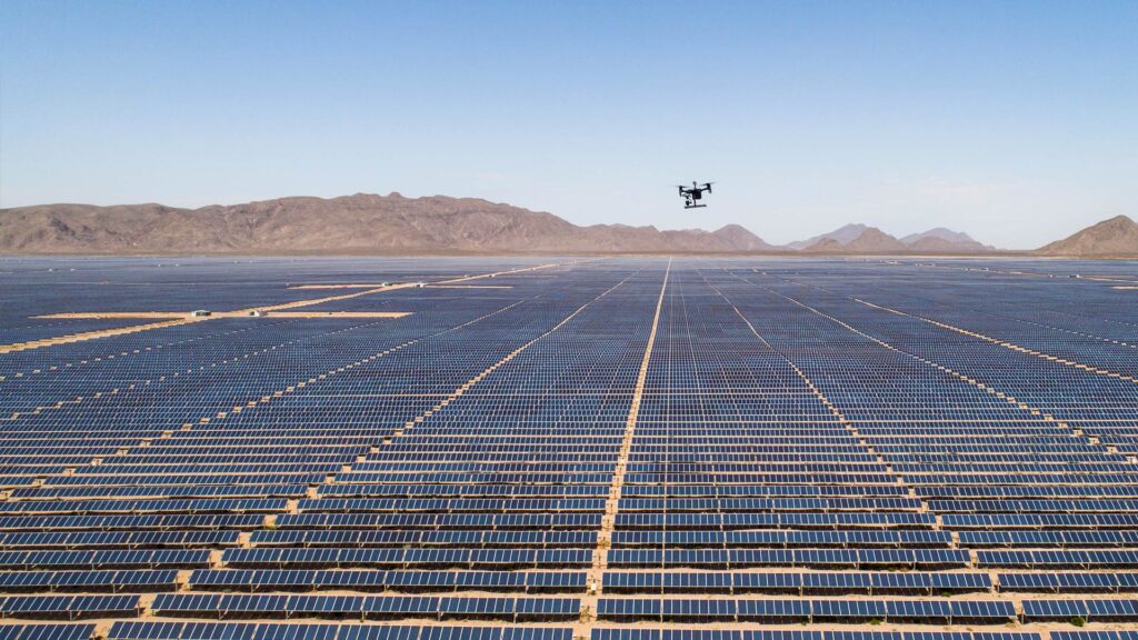
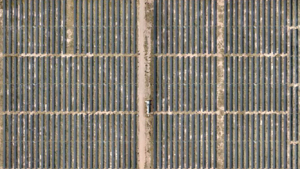
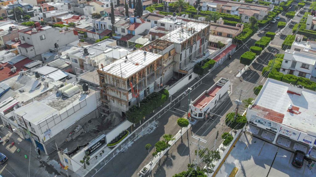
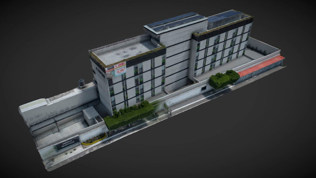
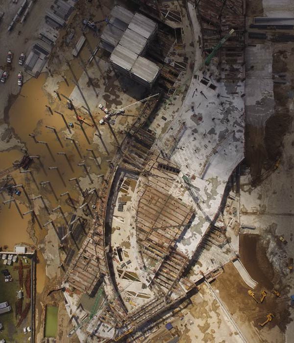
Photogrammetry is a technique to obtain flat maps and three-dimensional models through aerial photography. Modern photogrammetry has an extensive use for industrial and scientific applications in various fields such as Inspection of assets, Construction, Geotechnics, Geology, Geophysics, Civil Works, Topography, Cadastre, Archaeology and more.

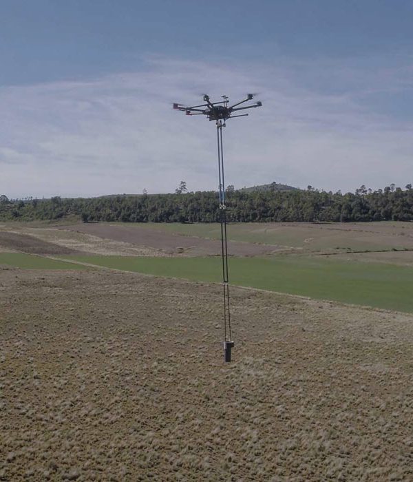
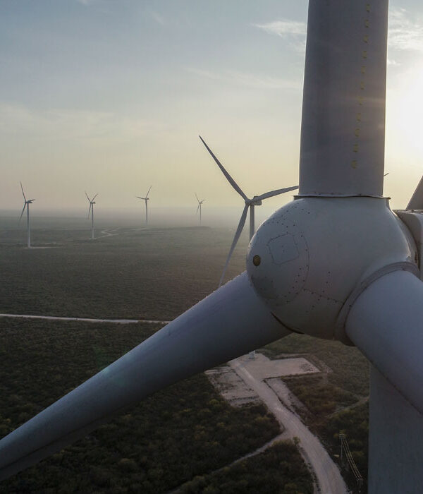
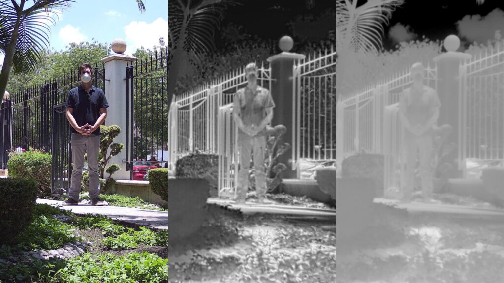
This technique has around 50 years of development and continues to be perfected towards greater precision and new applications: from innovation in the use of drones and high resolution cameras, to the incorporation of additional technologies such as LIDAR, and the progress in software and algorithms for interpretation and generation of results for the analysis of different types of industrial assets such as telecommunication towers, wind turbines, facades, piping, etc.

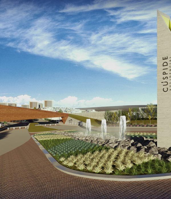
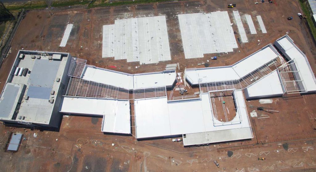
Photogrammetry allows the generation of multiple results of industrial importance such as orthomosaics, ortho maps, plans, digital terrain models, digital twins of assets, contour lines, volumetry, 2D and 3D plans, among other deliverables; therefore it is highly recommended to implement the use of photogrammetry for any project that requires information on the physical characteristics of the surface of any area or asset of interest.

Applications of photogrammetry in Geosciences

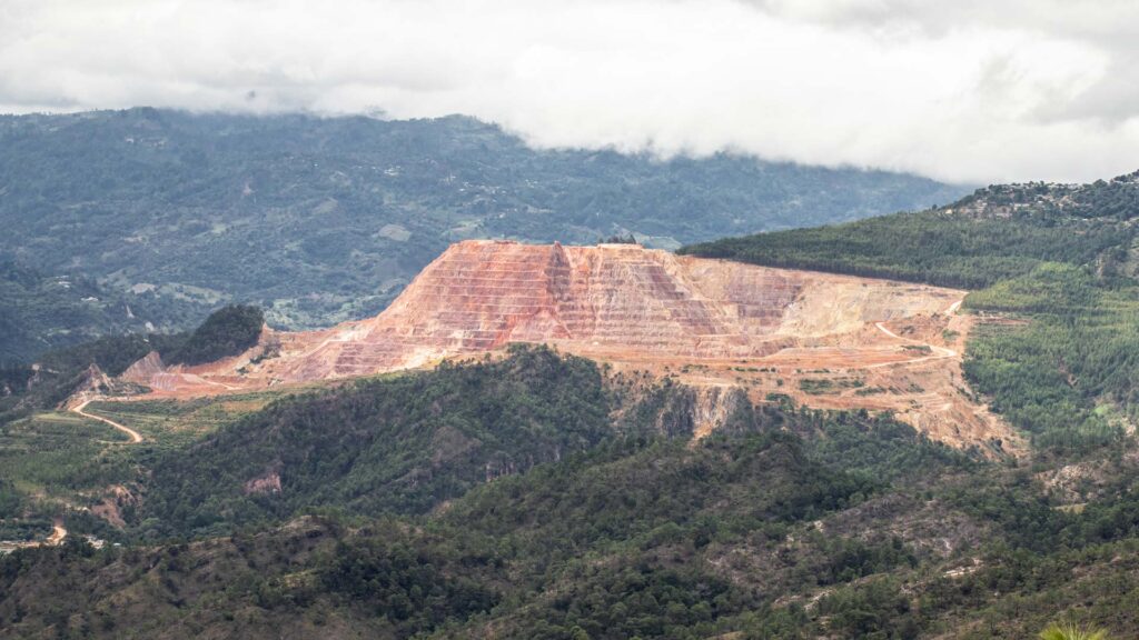
Aerial mapping for mining is a fairly common technique that is implemented with the objective of saving time for geologists and engineers to find outcrops of material or geological structures of interest. With precision photogrammetry, these analyses take on a new importance as study areas can be easily determined and the results can be shared digitally to speed up processes and increase productivity.

3D model of Peña de Bernal, the third largest monolith in the world, made with Pix4Dmapper, specialized software for photogrammetry.

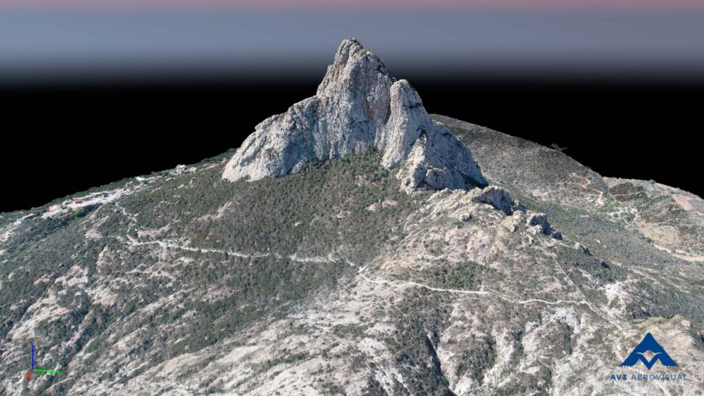
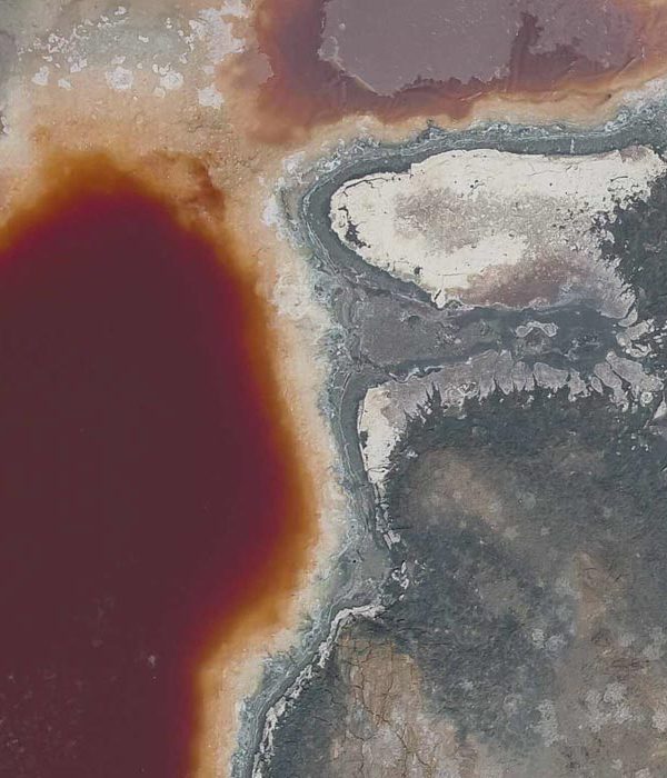
In the field of geology, photogrammetry allows the analysis of land subsidence in volcanic areas, generating ortho-maps and digital terrain models on which study profiles and other analyses such as volume counts, topography and altimetry can be generated.

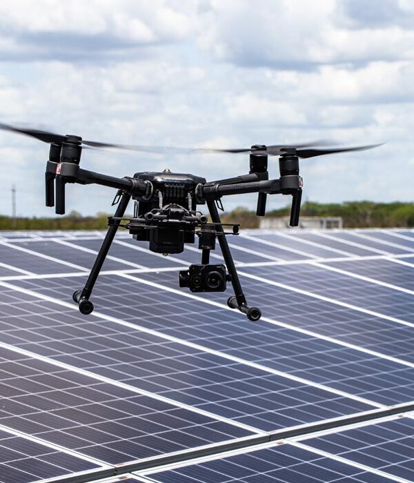
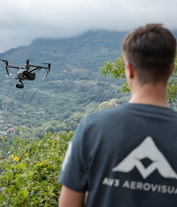
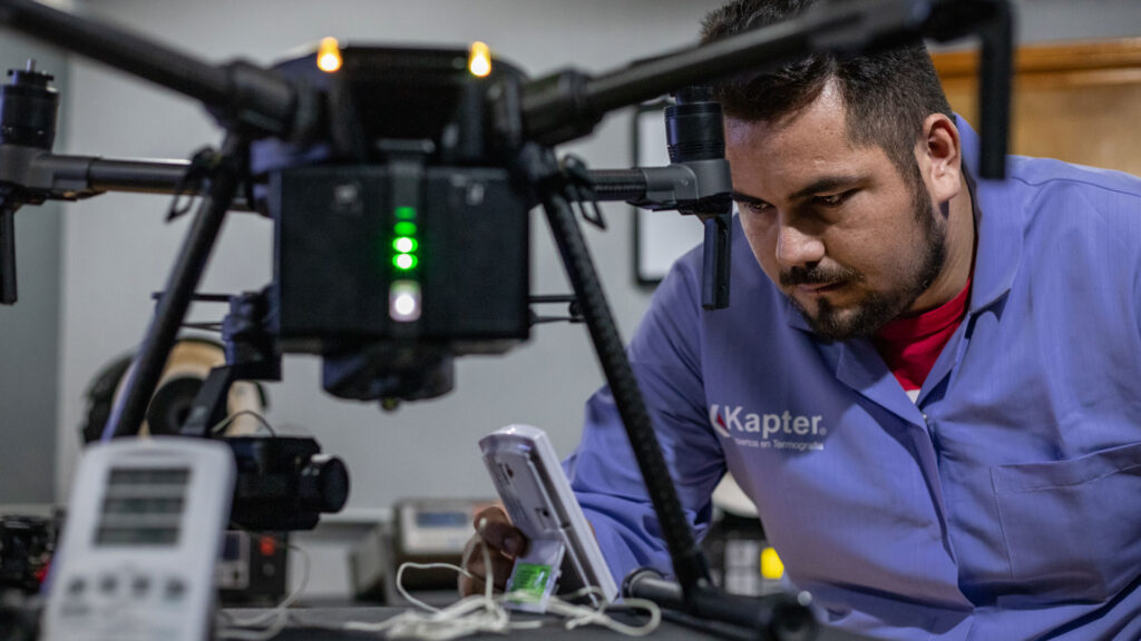
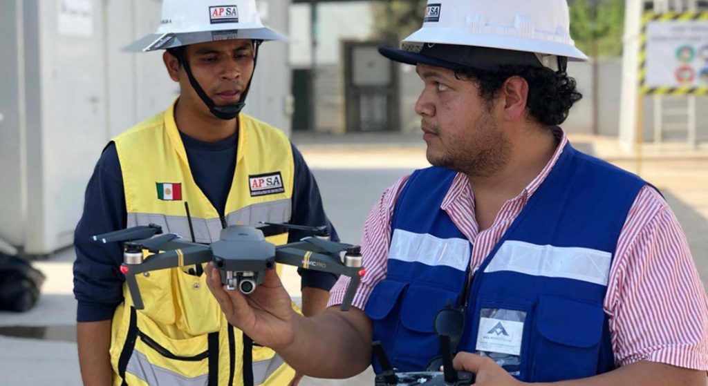
In AV3 AEROVISUAL we offer consultancy and aerial photogrammetry services with drones for different industry sectors. Write us at contacto@av3aerovisual.com or call us at 442 129 7892 and let our experts advise you and together find the best solution for your budget.

Services :
Well location
Geophysics and exploration Precision agriculture

Hydrological study and geological analysis for the location of water wells and aquifers; to identify the water capacities of your land and use the water in a more efficient way.

More Information ...
AERIAL MAPPING AND SURVEYS
Industrial Solutions

Drone survey, monitoring and mapping services for the construction industry, real estate, urbanism, mining and insurance companies.

More Information ...
Aerial Thermography
Industrial Solutions

Thermal drone survey for preventive maintenance in electrical and hydraulic installations, solar panels, buildings and structures.

More Information ...
Audiovisual content
Industrial Solutions

Aerial photography and filming service with drones for advertising, cinema and real estate. Hire certified and licensed drone pilots for commercial use.

More Information ...
Drone aereo magnetometry
Geophysics and exploration

We are pioneers in aerial magnetometry with drones in Mexico. AV-MAG℠ is a high-tech geophysical exploration method for generating highly accurate magnetic anomaly maps.

More Information ...
Geophysical studies
Geophysics and exploration

We implement geophysical methods for underground research and exploration. Natural resources and hydrocarbons, mining, construction, urban planning, public safety, archeology and agriculture.

More Information ...
Aerial inspection of towers and telecommunication assets
Industrial Solutions

Inspection of telecommunications facilities with drones to optimize maintenance processes. With inspection software, artificial intelligence and certified operators, we deliver valuable information to maximize the capacity and contribute to the transition into 5G technology.

More Information ...
Projects:
Related Posts : Geophysics and exploration

As part of our services for geophysics and exploration, we use drones and geophysical technologies for the exploration and estimation of resources, identification of geological structures and soil studies. these services optimize resources and costs, automate and improve processes for planning and development of mining projects, exploration plans, geology management, geophysical investigation, drilling, mineral resource estimation, evaluation of geological and exploration projects, geological data collection, geothermal prospecting, establishment of lithological boundaries, topography, rock bed configuration, well and aquifer location. All our services are insured and all our operators are licenced drone pilots.

Related Posts : Industrial Solutions

With our services of surveys and industrial solutions we optimize time, resources and costs, automate and improve the production processes for sectors such as energy, construction, real estate, cadastre, mining and urbanism. All our services are insured and all our operators are licenced drone pilots.