Loading...
Loading...
Subsidence study of the Historic Center of Queretaro based on urban microgravimetry, for planning purposes and the conservation of the historic architectural heritage.
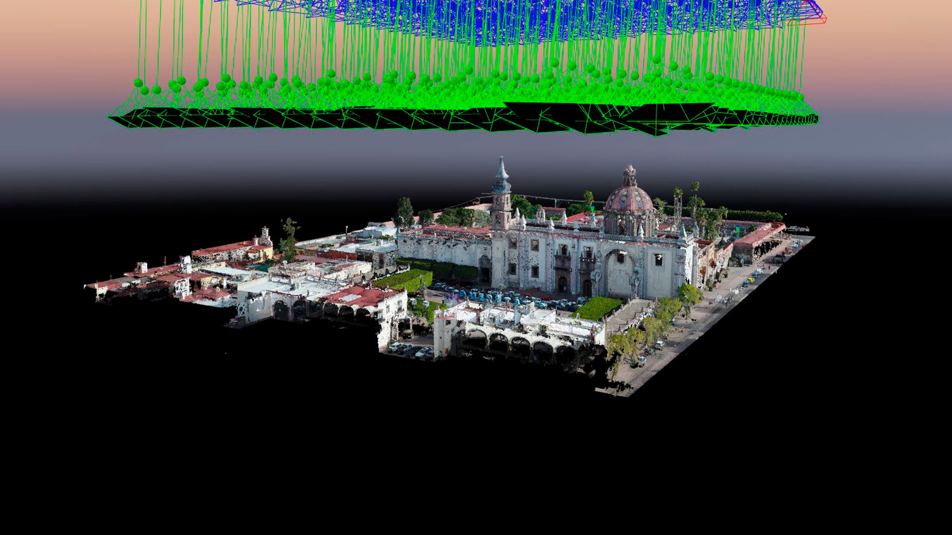
Aerial photogrammetry with drones allows the generation of 2D images, 3D surfaces, and three-dimensional digital models. Photogrammetry has applications in mining, geotechnics, geology, geophysics, civil works, archaeology, among others.
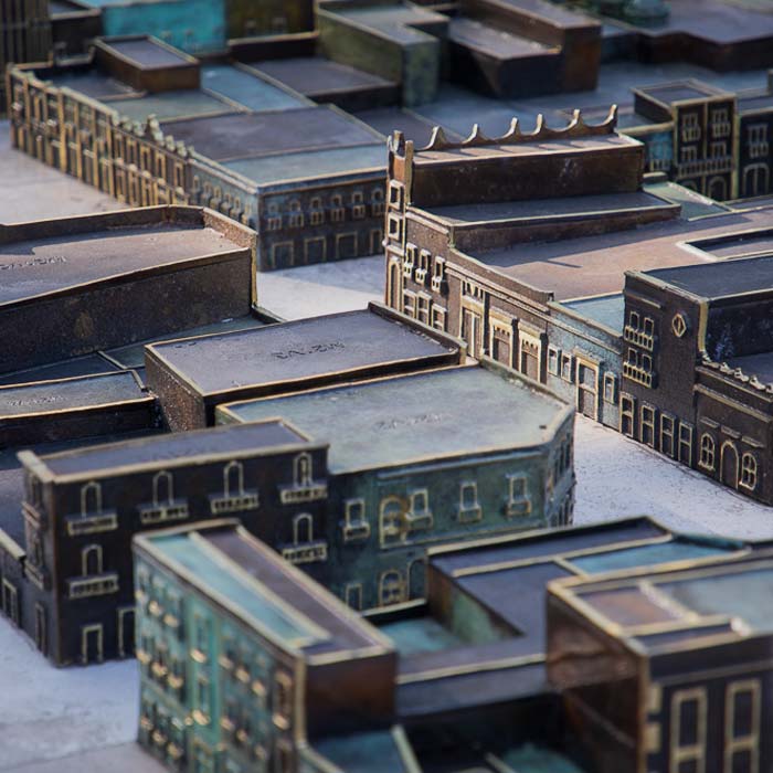
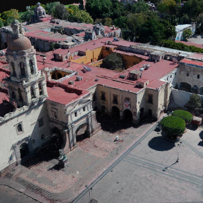
Photogrammetry with drones and stereoscopic image processing to generate 3D models used for the bronze model of the Historic Center of Querétaro.

Drones Pro Photogrammetry first annual meeting, held at Tecnológico de Monterrey campus Guadalajara. The event gathered students, researchers, companies and representatives of government institutions and people interested or involved in the use of drones for geophysical studies.
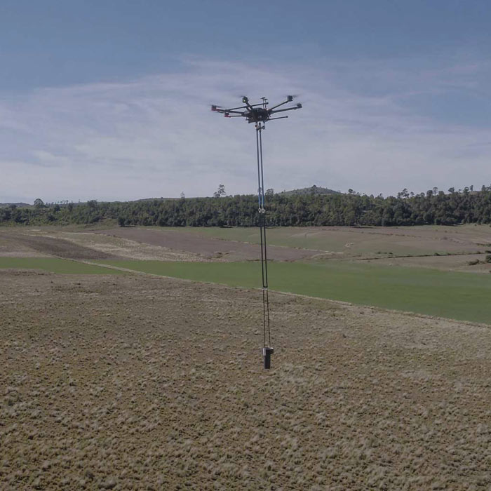
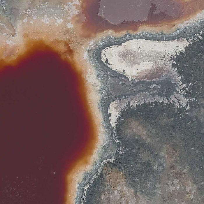
Aerial magnetometry with drones for geothermal exploitation; by comparing telluric magnet profiles in Humeros, region of Perote, Veracruz.
Photogrammetry for digital terrain model generation. Comparison of aerial magnetometry with drones and terrestrial, using microgravimetry and digital terrain model.