Loading...
Loading...
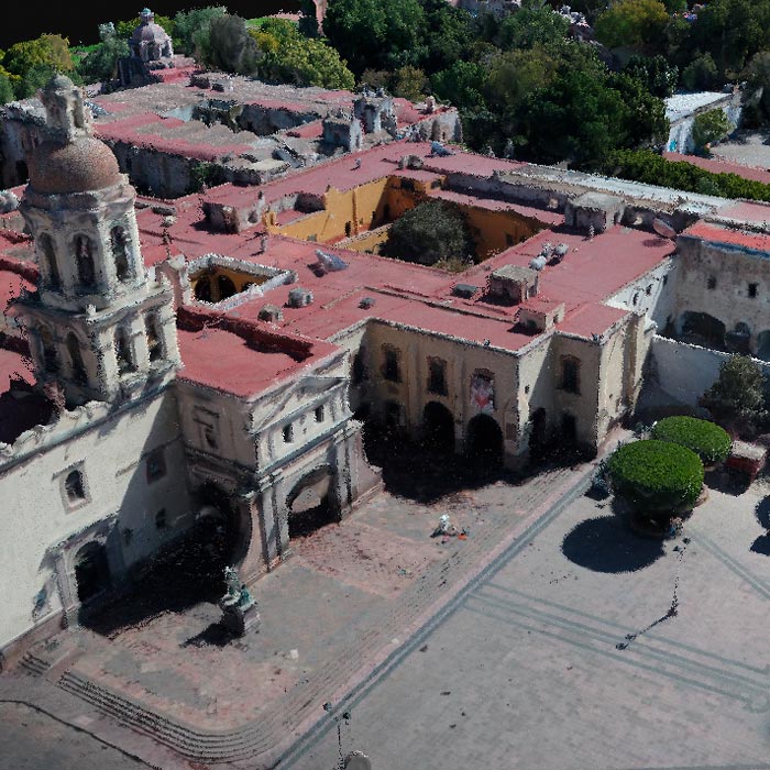
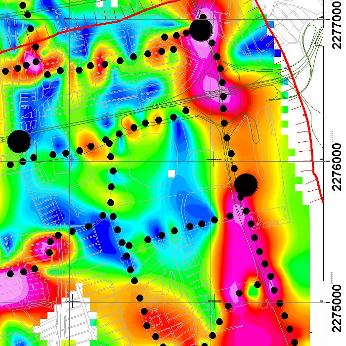
Subsidence study of the Historic Center of Queretaro based on urban microgravimetry, for planning purposes and the conservation of the historic architectural heritage.
Uncategorized
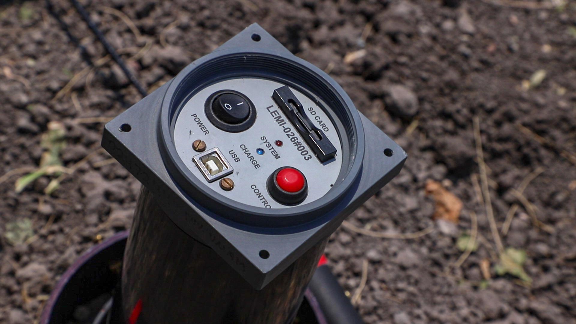
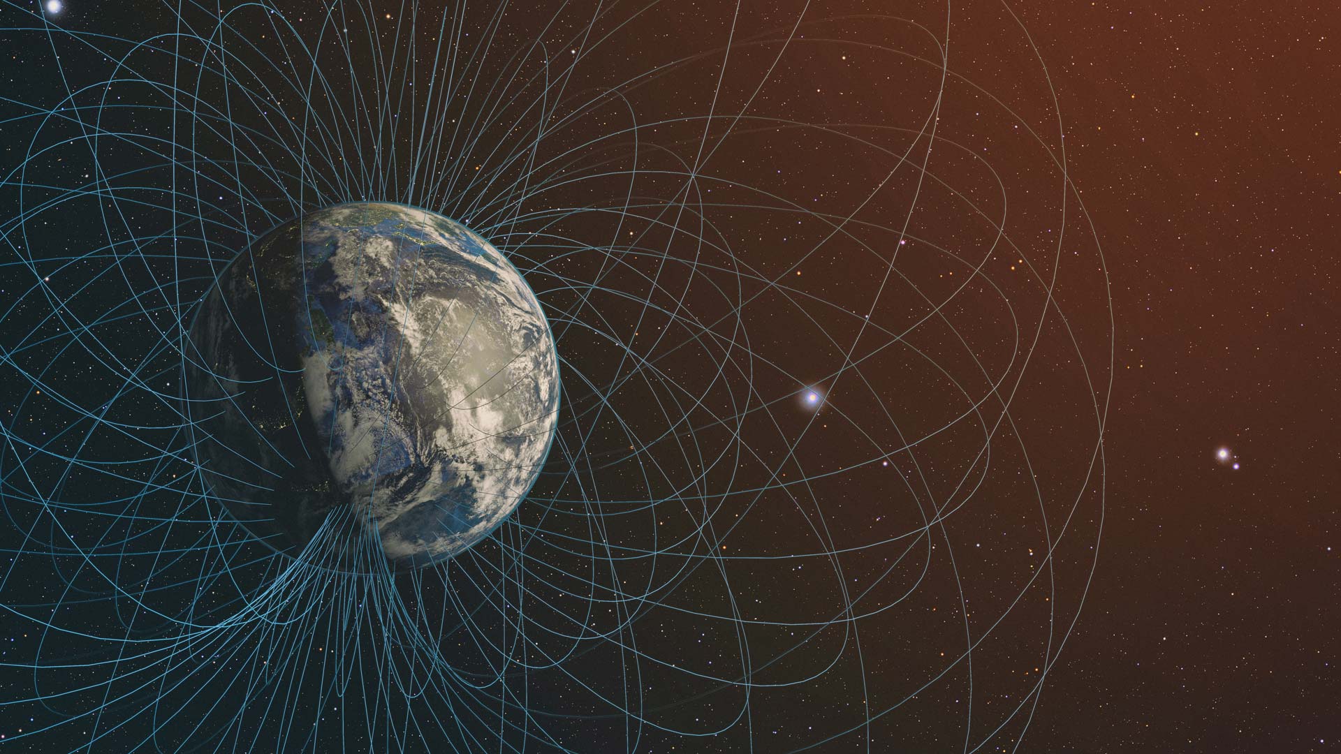
Learn about the most commonly used magnetometers for geophysical exploration, their characteristics and the principles under which they work.
Uncategorized
Magnetometric measurement and inspection yields data for planning and exploration. Its applications include oil characterization, mineral resource exploitation, search of magnetic artifacts, characterization of aquifers, among others.
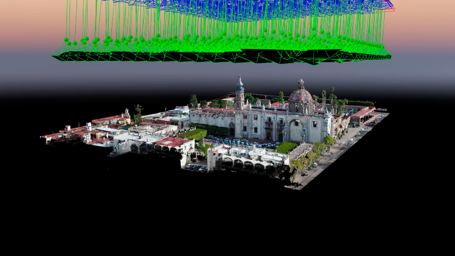
Aerial photogrammetry with drones allows the generation of 2D images, 3D surfaces, and three-dimensional digital models. Photogrammetry has applications in mining, geotechnics, geology, geophysics, civil works, archaeology, among others.
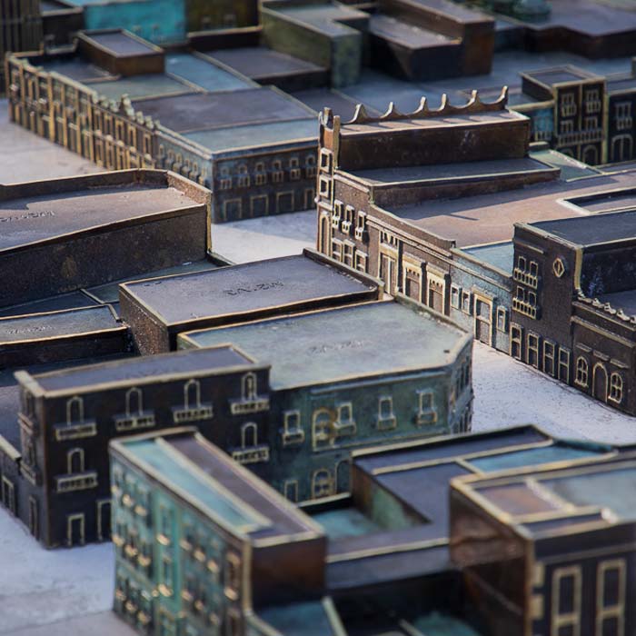
Photogrammetry with drones and stereoscopic image processing to generate 3D models used for the bronze model of the Historic Center of Querétaro.
We implement geophysical methods for underground research and exploration. Natural resources and hydrocarbons, mining, construction, urban planning, public safety, archeology and agriculture.