Loading...
Loading...
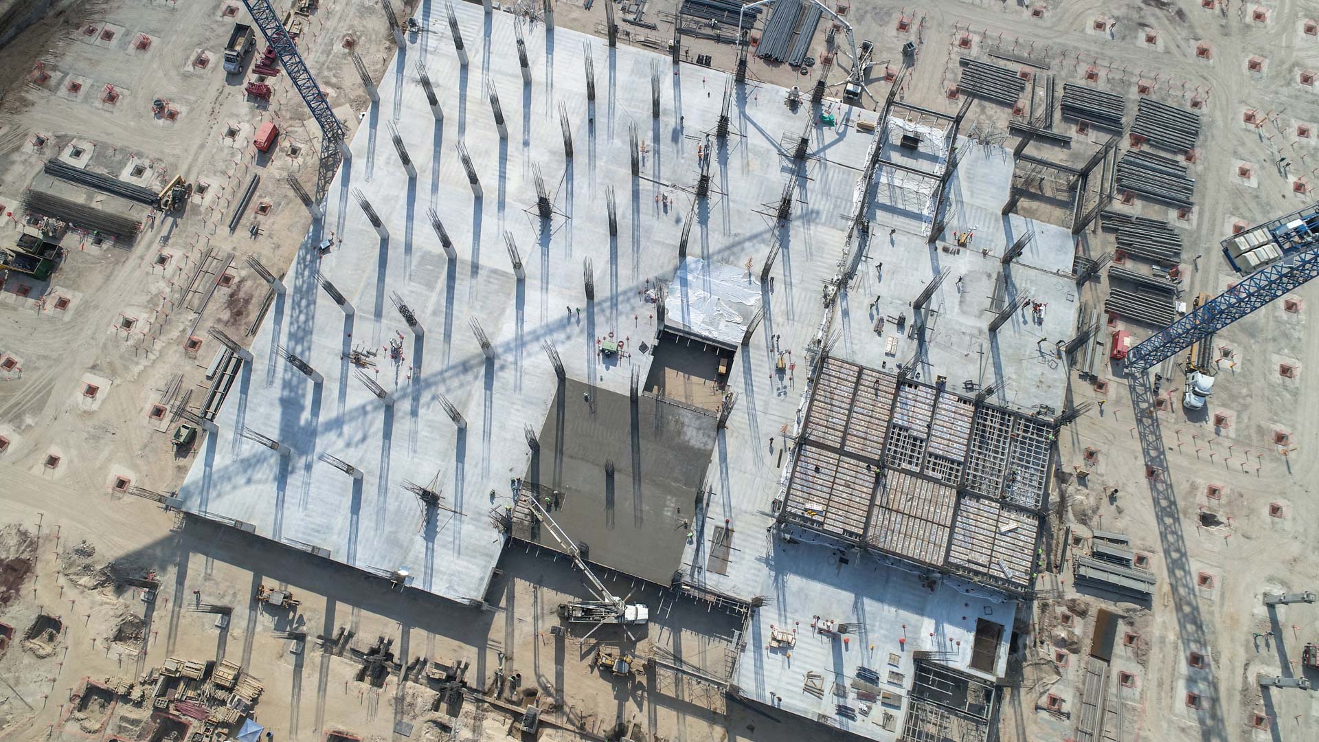
With our services of surveys and industrial solutions we optimize time, resources and costs, automate and improve the production processes for sectors such as energy, construction, real estate, cadastre, mining and urbanism.
All our services are insured and all our operators are licenced drone pilots.
Uncategorized
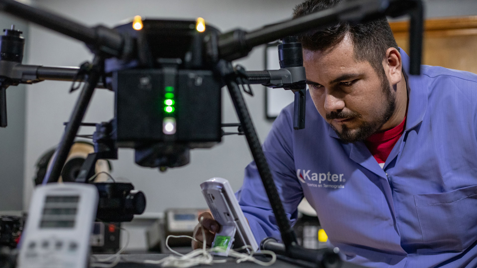
We performed the calibration of our thermal cameras for inspection and maintenance at Kapter, a research center and metrology laboratory located in Zapopan, Jalisco.
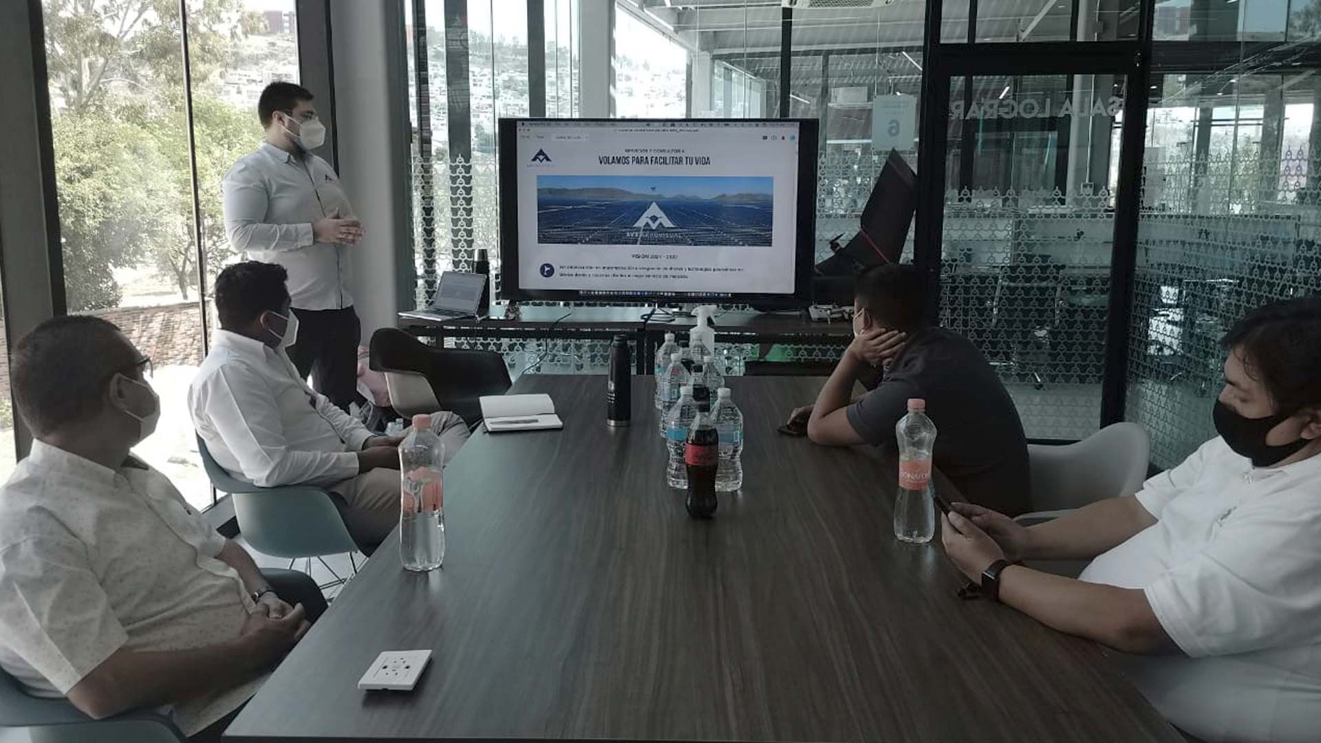
We gave the training course for drone pilots in professional operation of RPAs in Mexico, in the facilities of NUQLEO, an incubator of ideas and projects for young people of the Secretariat of Youth of the State of Queretaro.
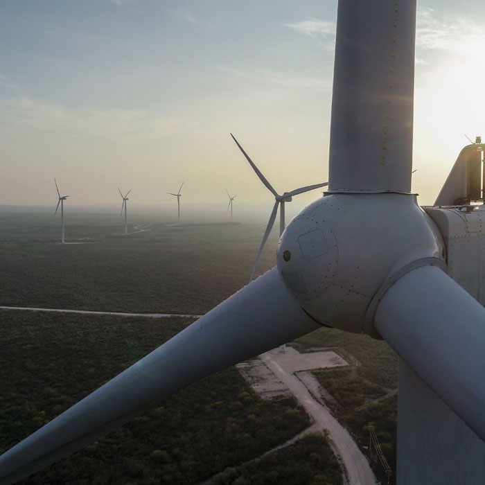
Aerial inspection with drones in a wind farm for preventive and corrective maintenance. External inspection of wind turbine blades using vertical mapping to generate a structural report of wind turbines.
Geophysics and exploration| Industrial Solutions| Industrial Solutions| Industrial Solutions| Industrial Solutions| Industrial Solutions| Industrial Solutions| Precision agriculture
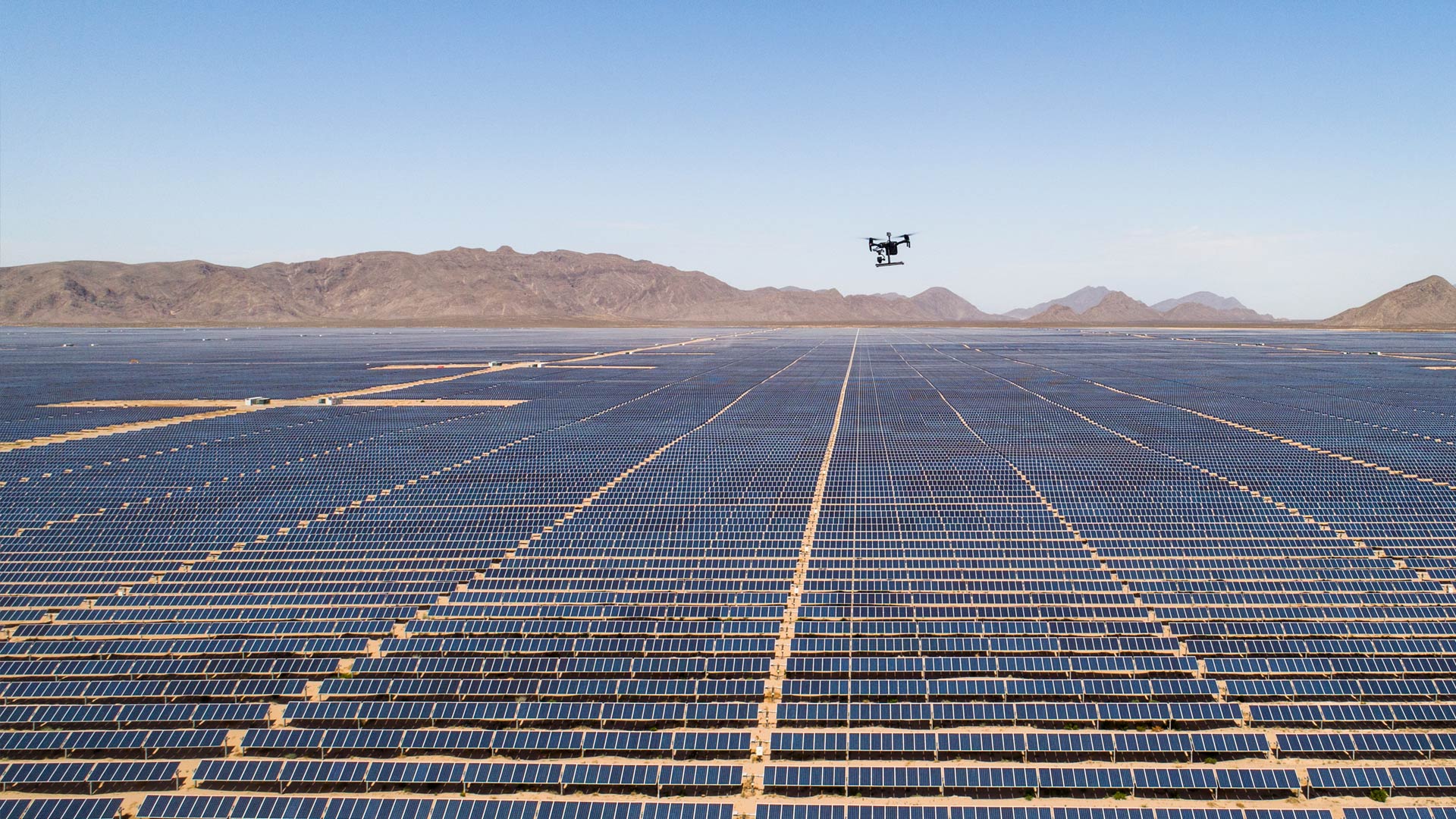
Aerial inspection with drones adds value and intelligence for different sectors of the industry, it is a review to prevent, detect or correct some kind of problem. By using a drone, qualitative and quantitative information can be collected from an asset or a location of difficult access, making the inspection safe and efficient.

We participated in the webinar on Industrial Process Optimization in Latin America as part of the ambassador program of Pix4D, a leading company in the development of photogrammetry and mapping software with drones.
Uncategorized
Webinar with Dji Enterprise Mexico on Aerial Thermography in Large Photovoltaic Fields by Pedro Olivares Sáinz, Commercial Director of AV3 Aerovisual.