Loading...
Loading...
With our services of surveys and industrial solutions we optimize time, resources and costs, automate and improve the production processes for sectors such as energy, construction, real estate, cadastre, mining and urbanism.
All our services are insured and all our operators are licenced drone pilots.
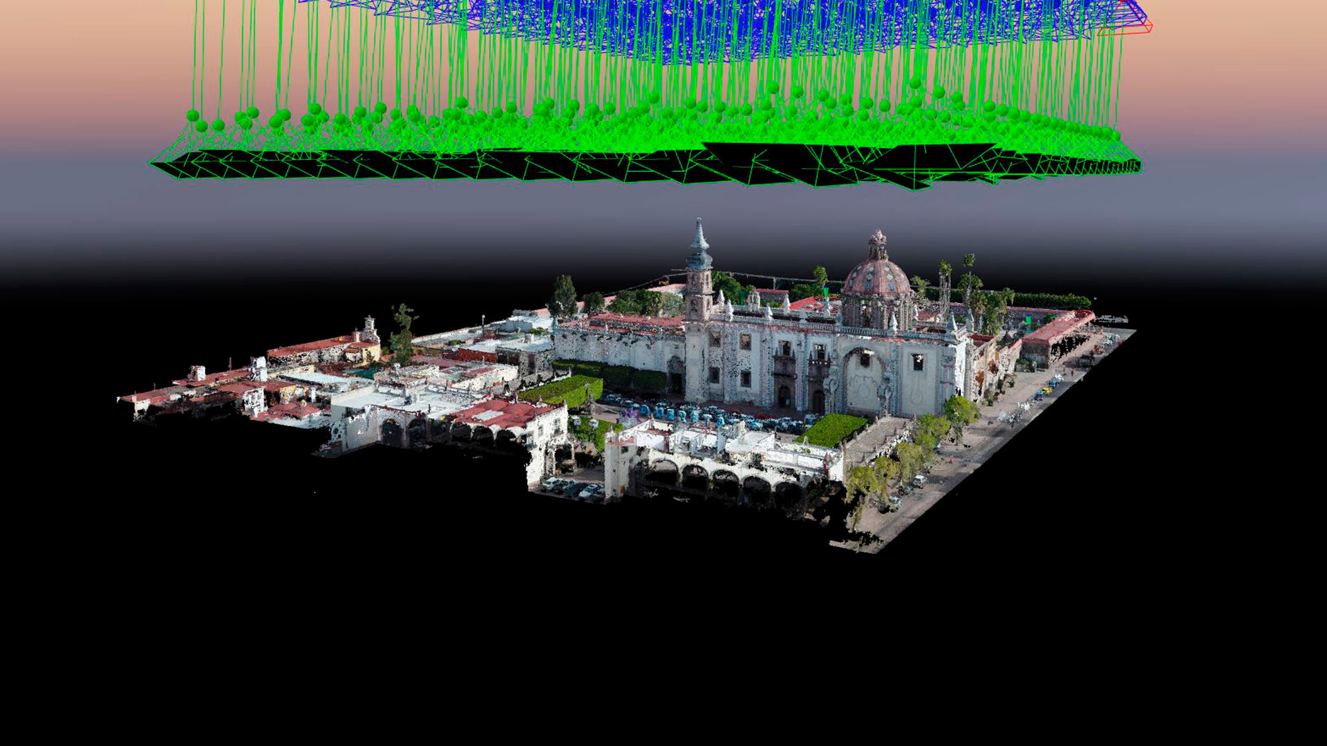
Aerial photogrammetry with drones allows the generation of 2D images, 3D surfaces, and three-dimensional digital models. Photogrammetry has applications in mining, geotechnics, geology, geophysics, civil works, archaeology, among others.
Industrial Solutions| Industrial Solutions| Industrial Solutions| Industrial Solutions| Industrial Solutions| Industrial Solutions| News| News| News
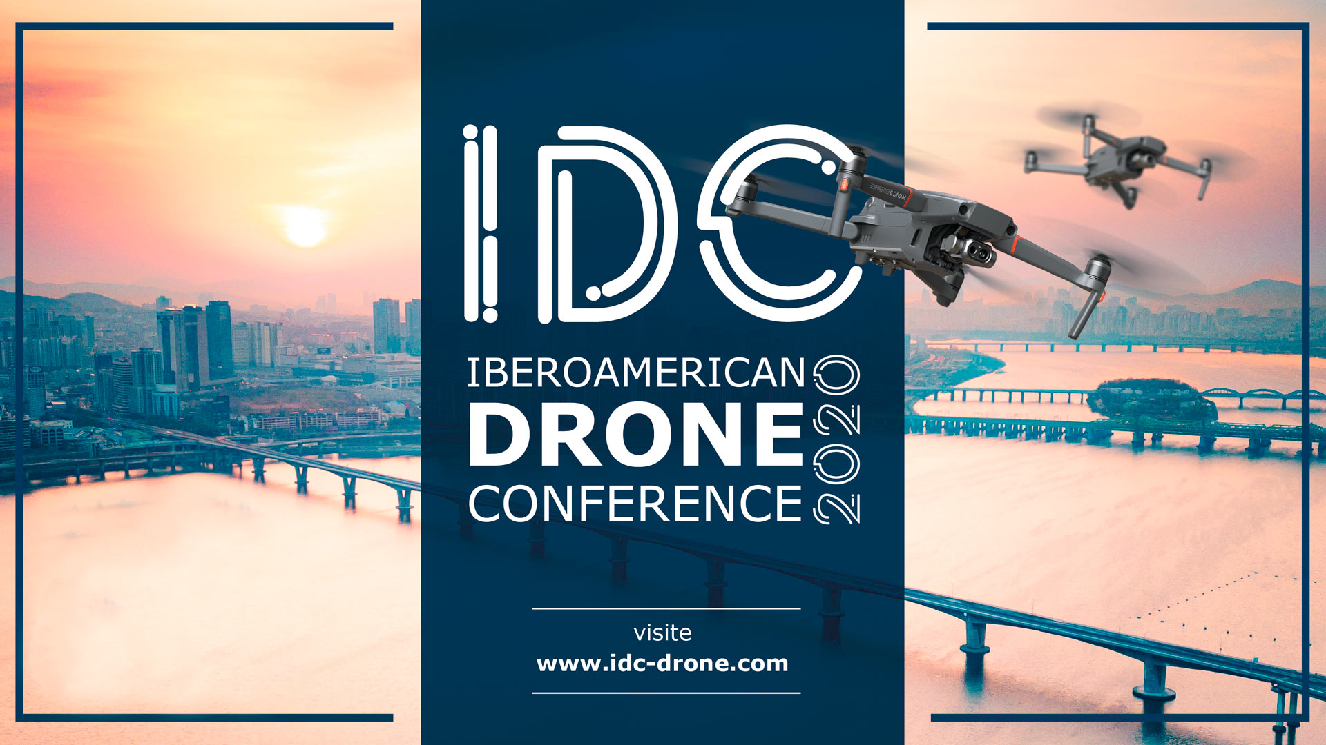
We participated in the Iberoamerican Drone Conference with the conference Inspection and Thermography with Drones: Challenges and opportunities for 2021, by Pedro Olivares Sáinz, Administrative Director of AV3 Aerovisual.
Uncategorized
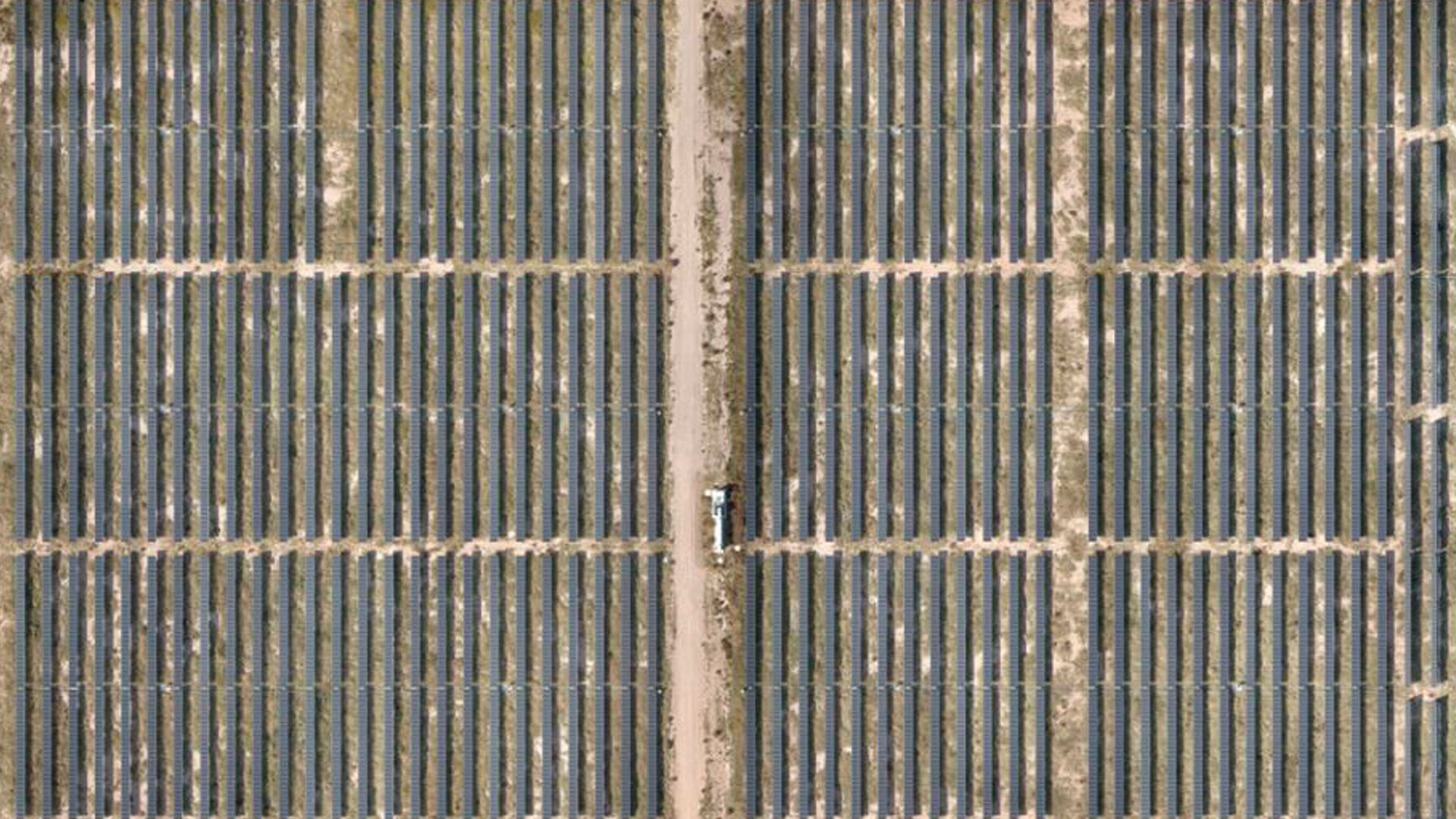
Our recent work generating RGB orthomaps and thermal inspection with drones for the Santiago Solar photovoltaic park in San Luis Potosi, the largest of the Spanish company Iberdrola.
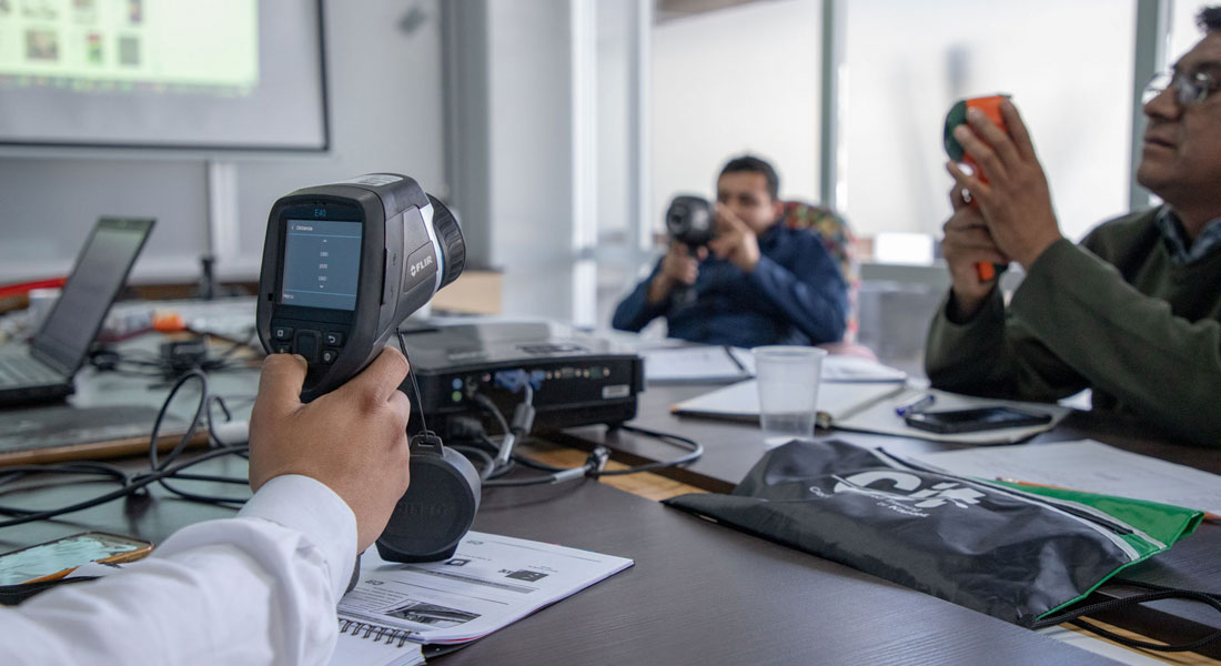
Level 1 Thermography Course with international certification in the city of Querétaro, in charge of Engineer Margarita Kaplun Mucharrafille, General Director of Kapter – Experts in Thermography. Organized in conjunction with Kaper, AV3 AEROVISUAL, based in the facilities of the Clúster de tecnología Vórtice IT Querétaro; the course was given under the ASNT, ANSI and standard chapter 18436-7 ISO standards.
Uncategorized
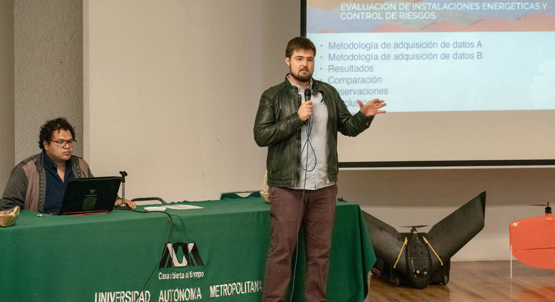
Aerial thermography with drones in photovoltaic plants, conference given at the second edition of Drones Fotogrametría Pro at UAM Iztapalapa.

Uncategorized
Aerial video with drones and photo documentation for American Eagle Outfitters during its activation at the 2018 Akamaba Festival of the Global District production company.