Loading...
Loading...
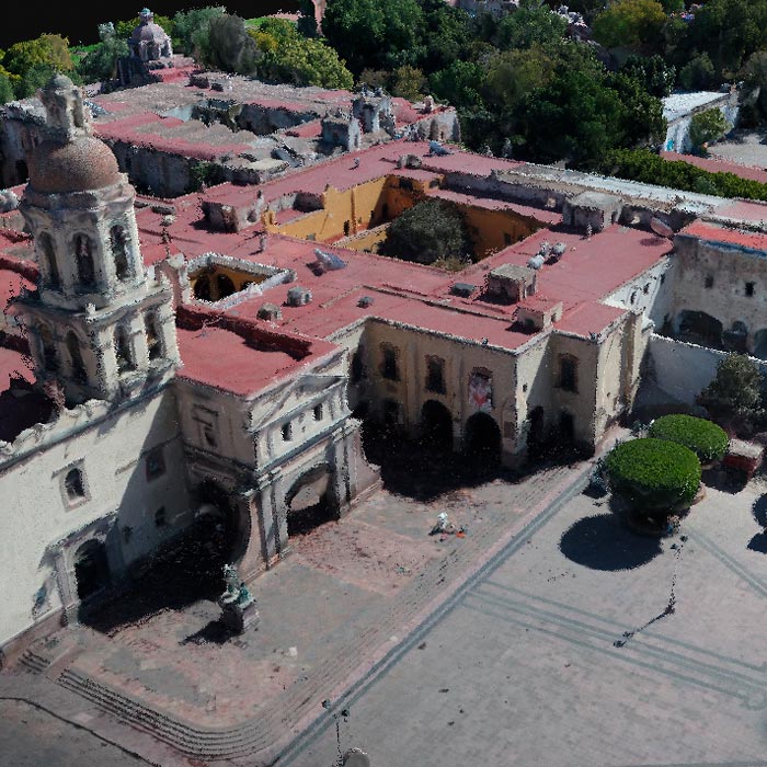
Subsidence study of the Historic Center of Queretaro based on urban microgravimetry, for planning purposes and the conservation of the historic architectural heritage.
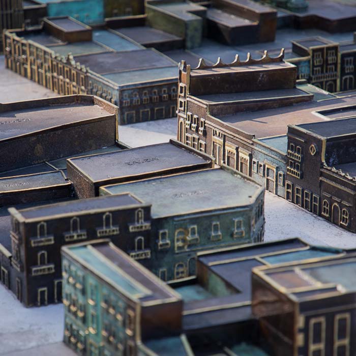
Photogrammetry with drones and stereoscopic image processing to generate 3D models used for the bronze model of the Historic Center of Querétaro.
Uncategorized
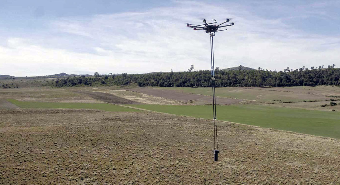
Development of aeromagnetic exploration system with Fluxgate-type magnetometers, transported by a drone in continuous acquisition mode, for the generation of polygons or profiles to obtain magnetic data in all types of areas. Collaboration with UNAM’s CEGEO, the Ukrainian Academy of Sciences and AV3 AEROVISUAL.
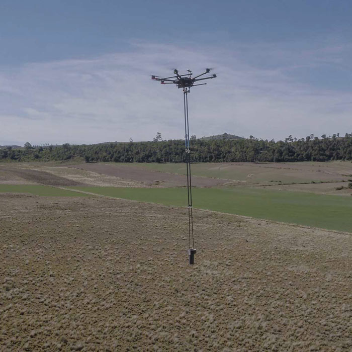
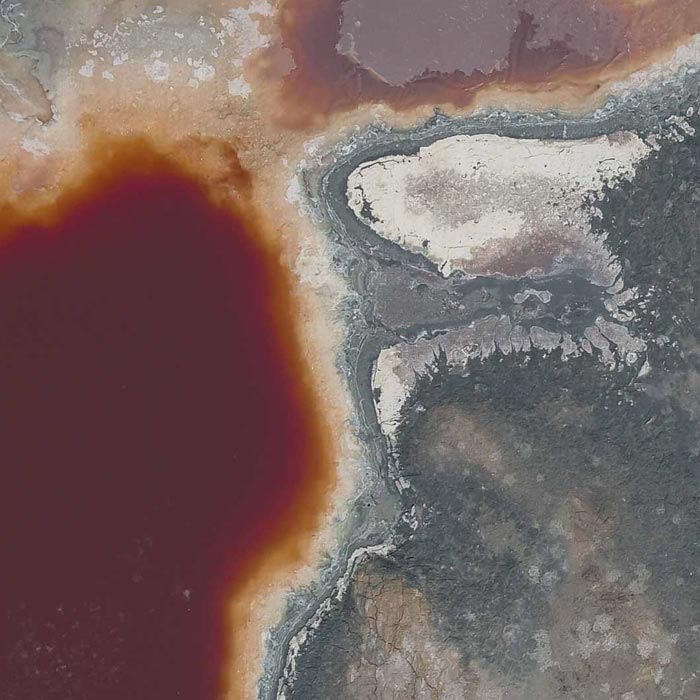
Aerial magnetometry with drones for geothermal exploitation; by comparing telluric magnet profiles in Humeros, region of Perote, Veracruz.
Photogrammetry for digital terrain model generation. Comparison of aerial magnetometry with drones and terrestrial, using microgravimetry and digital terrain model.