Loading...
Loading...
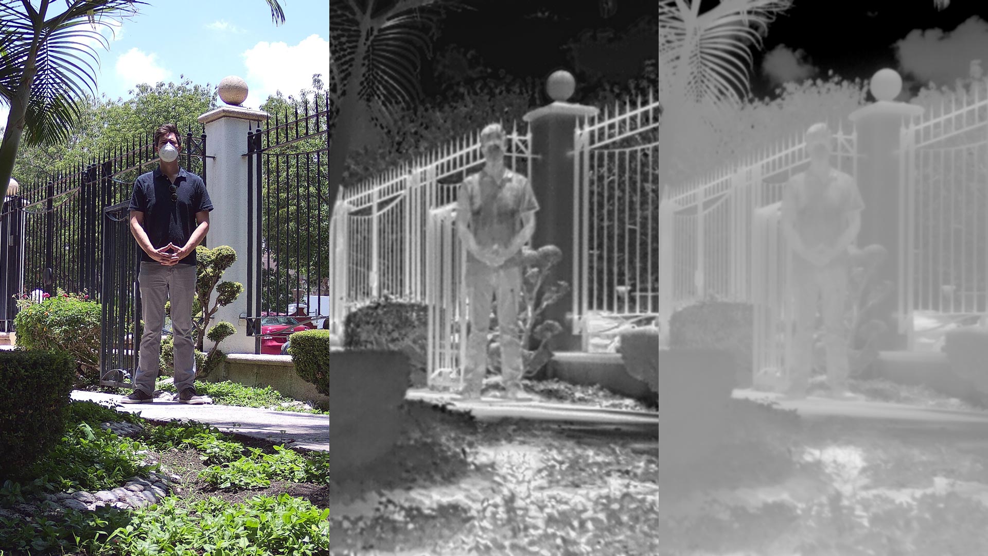
Features and differences between .JPEG, .TIFF and R.JPEG formats, the most common for taking and storing thermographic images in aerial inspections with drones.
Geophysics and exploration| Geophysics and exploration| Geophysics and exploration| Geophysics and exploration| Industrial Solutions| Industrial Solutions| Industrial Solutions| Industrial Solutions| Precision agriculture
Aerial inspection with drones adds value and intelligence for different sectors of the industry, it is a review to prevent, detect or correct some kind of problem. By using a drone, qualitative and quantitative information can be collected from an asset or a location of difficult access, making the inspection safe and efficient.
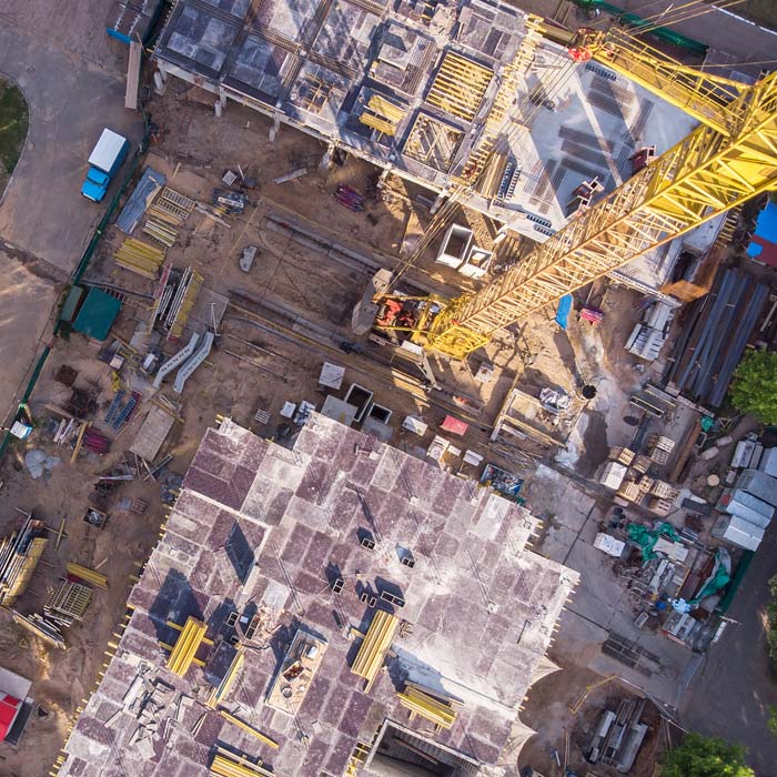
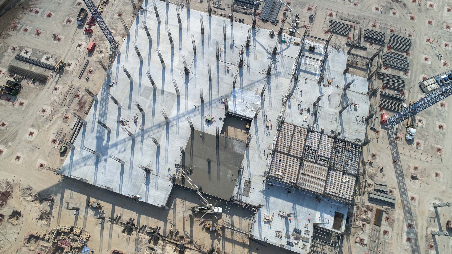
Drone survey, monitoring and mapping services for the construction industry, real estate, urbanism, mining and insurance companies.
Uncategorized
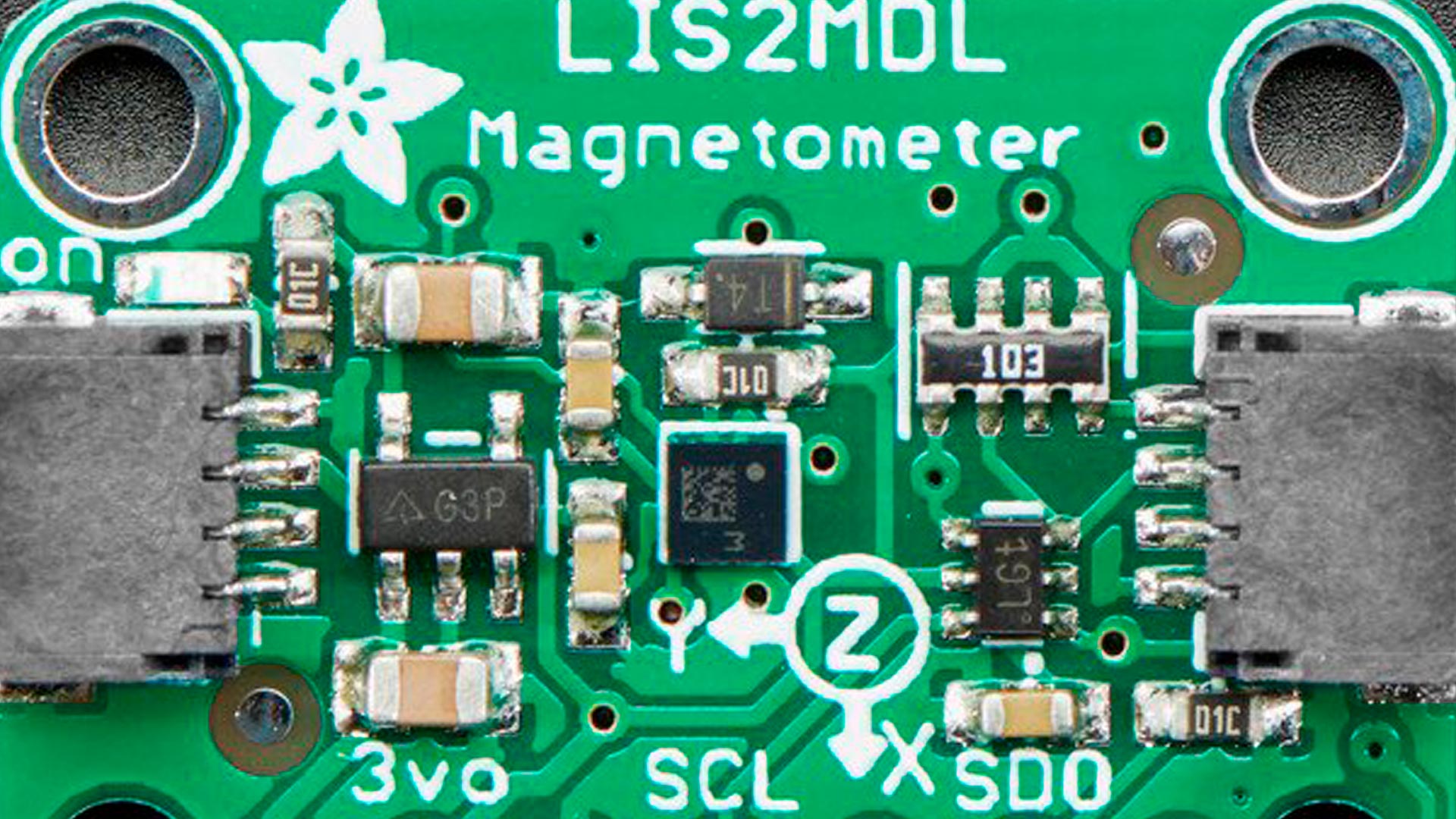
Magnetometry and its application in automation, archaeology, mining, military applications, telecommunications and aerospace.
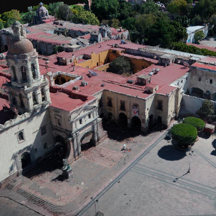
Subsidence study of the Historic Center of Queretaro based on urban microgravimetry, for planning purposes and the conservation of the historic architectural heritage.
Uncategorized
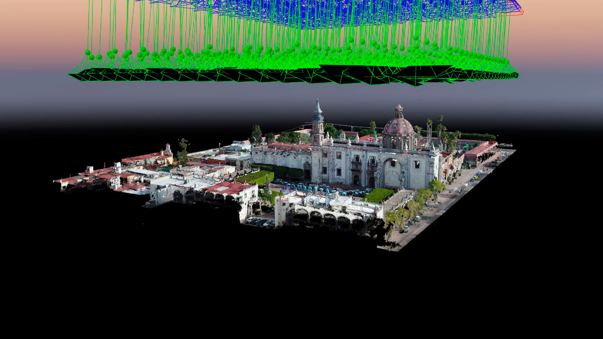
Aerial photogrammetry with drones allows the generation of 2D images, 3D surfaces, and three-dimensional digital models. Photogrammetry has applications in mining, geotechnics, geology, geophysics, civil works, archaeology, among others.

Drones Pro Photogrammetry first annual meeting, held at Tecnológico de Monterrey campus Guadalajara. The event gathered students, researchers, companies and representatives of government institutions and people interested or involved in the use of drones for geophysical studies.