Loading...
Loading...
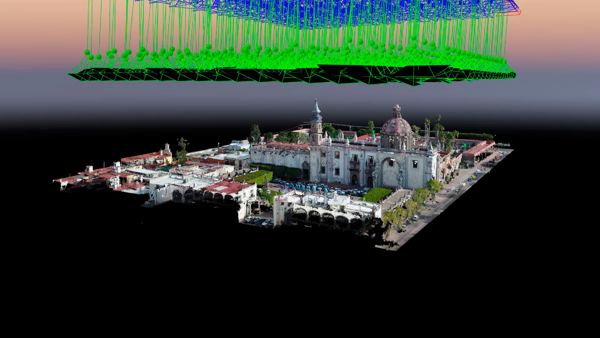
Aerial photogrammetry with drones allows the generation of 2D images, 3D surfaces, and three-dimensional digital models. Photogrammetry has applications in mining, geotechnics, geology, geophysics, civil works, archaeology, among others.
Uncategorized
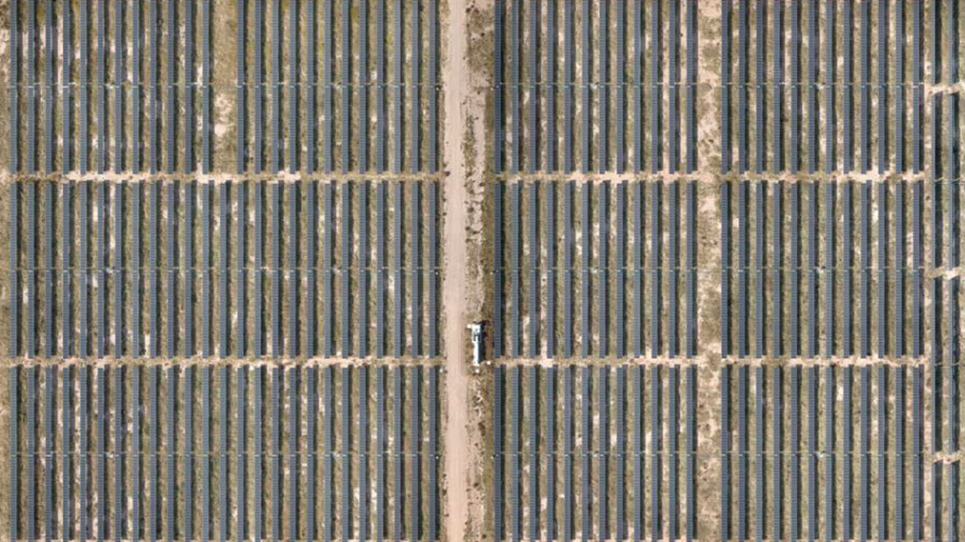
Our recent work generating RGB orthomaps and thermal inspection with drones for the Santiago Solar photovoltaic park in San Luis Potosi, the largest of the Spanish company Iberdrola.
Industrial Solutions| Industrial Solutions| Industrial Solutions| News
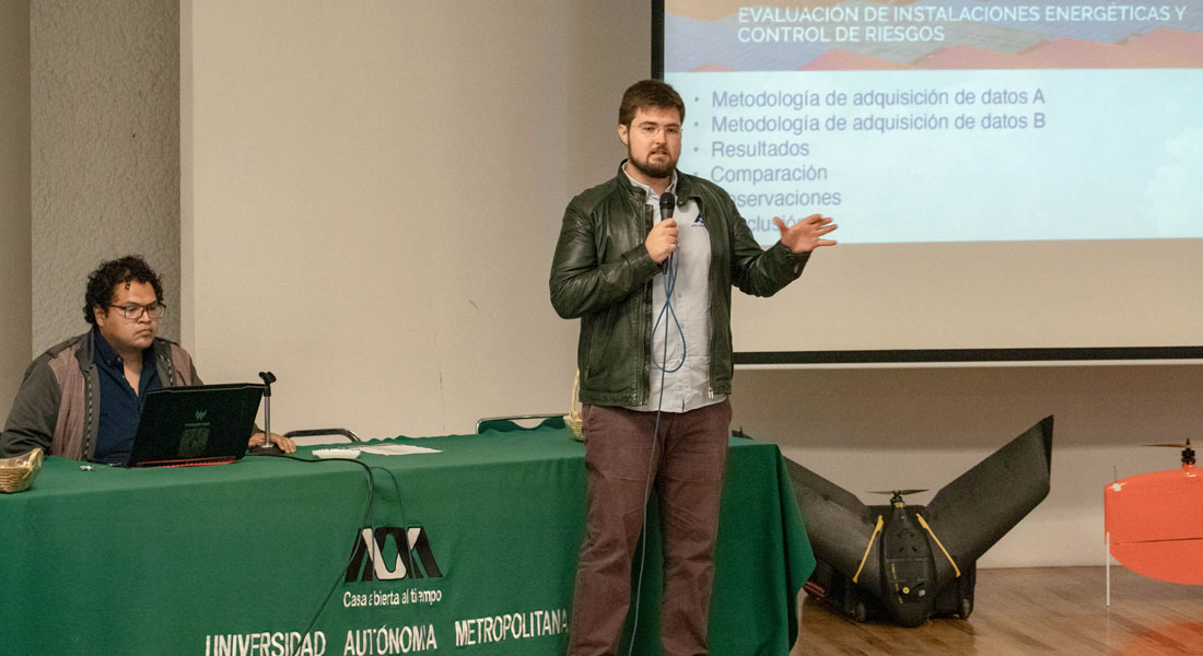
Aerial thermography with drones in photovoltaic plants, conference given at the second edition of Drones Fotogrametría Pro at UAM Iztapalapa.

Geophysics and exploration| News
Drones Pro Photogrammetry first annual meeting, held at Tecnológico de Monterrey campus Guadalajara. The event gathered students, researchers, companies and representatives of government institutions and people interested or involved in the use of drones for geophysical studies.
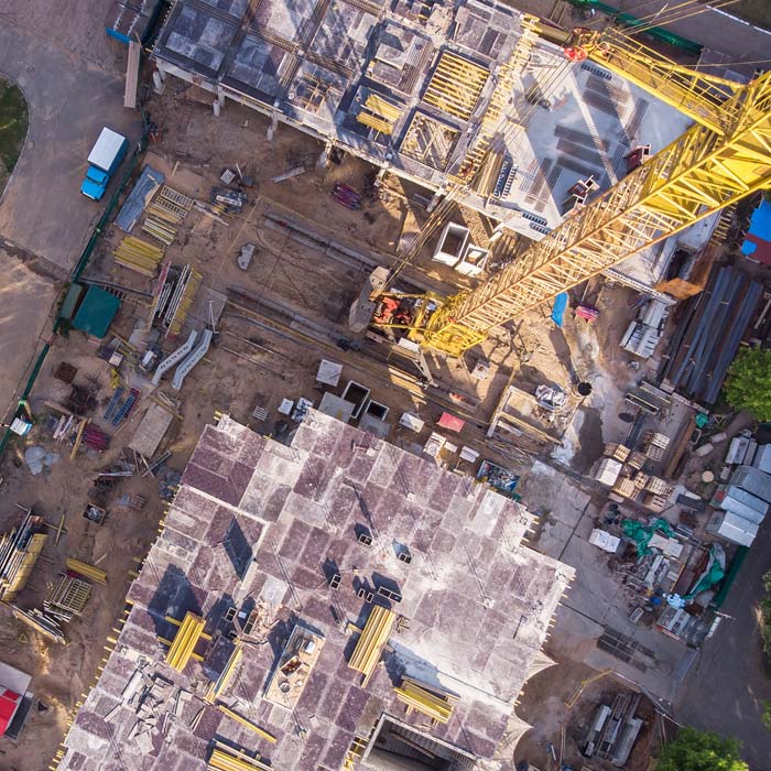
Drone survey, monitoring and mapping services for the construction industry, real estate, urbanism, mining and insurance companies.