Loading...
Loading...
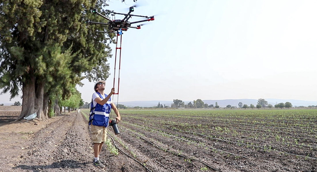
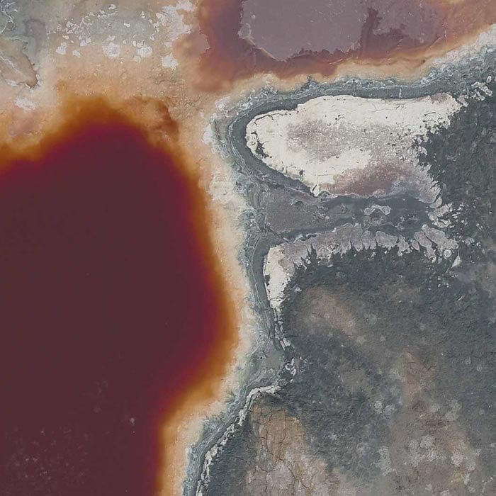
As part of our services for geophysics and exploration, we use drones and geophysical technologies for the exploration and estimation of resources, identification of geological structures and soil studies. these services optimize resources and costs, automate and improve processes for planning and development of mining projects, exploration plans, geology management, geophysical investigation, drilling, mineral resource estimation, evaluation of geological and exploration projects, geological data collection, geothermal prospecting, establishment of lithological boundaries, topography, rock bed configuration, well and aquifer location.
All our services are insured and all our operators are licenced drone pilots.

Uncategorized
Drones Pro Photogrammetry first annual meeting, held at Tecnológico de Monterrey campus Guadalajara. The event gathered students, researchers, companies and representatives of government institutions and people interested or involved in the use of drones for geophysical studies.
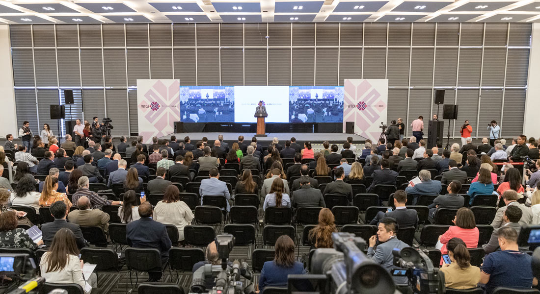
We participated in the 50th. General Assembly of the World Trade Center Association at the Querétaro Congress Center. The event was an opportunity to present our services in Industrial Solutions, Precision Agriculture, and especially our latest division dedicated to Geophysics and Exploration.
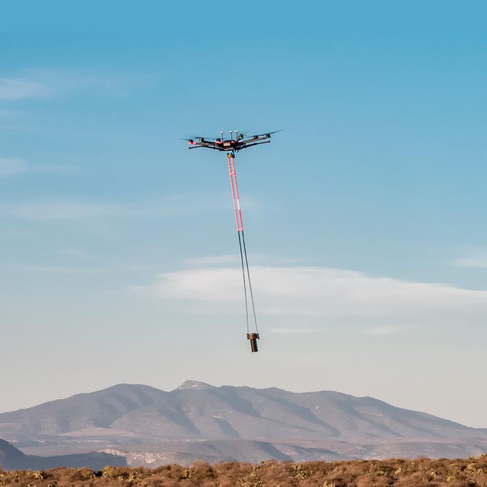
Aeromagnetic system with drones for geothermal exploitation Master study of aerial magnetometry with drones for geothermal exploitation; by means of the comparison of telluric magnetic profiles in Humeros, Veracruz.
We are pioneers in aerial magnetometry with drones in Mexico. AV-MAG℠ is a high-tech geophysical exploration method for generating highly accurate magnetic anomaly maps.
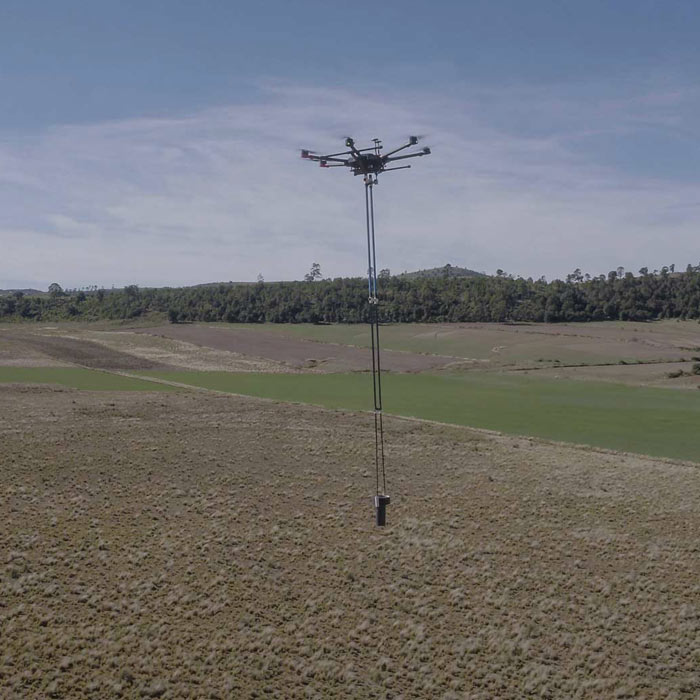
Aerial magnetometry with drones for geothermal exploitation; by comparing telluric magnet profiles in Humeros, region of Perote, Veracruz.
Photogrammetry for digital terrain model generation. Comparison of aerial magnetometry with drones and terrestrial, using microgravimetry and digital terrain model.