

Uncategorized
Author : AV3 AEROVISUAL
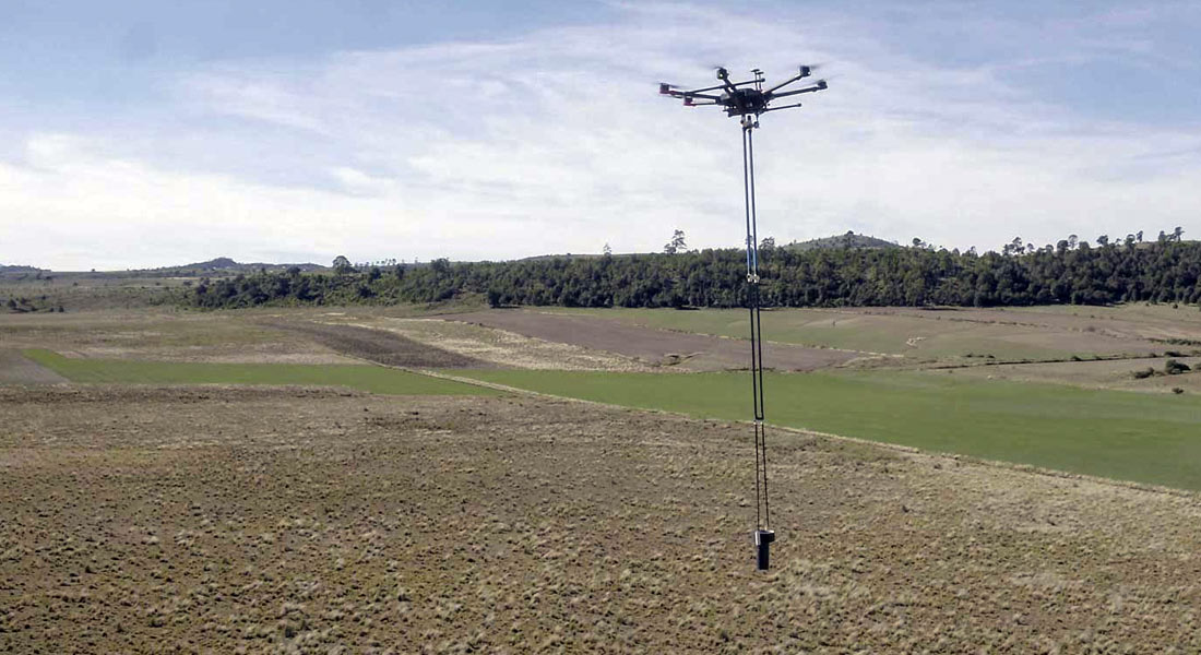
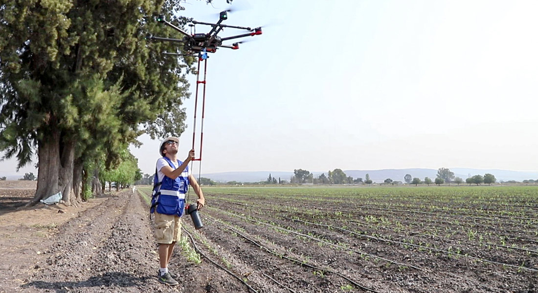
Development of aeromagnetic exploration system with Fluxgate-type magnetometers, transported by a drone in continuous acquisition mode, for the generation of polygons or profiles to obtain magnetic data in all types of areas. Collaboration with UNAM’s CEGEO, the Ukrainian Academy of Sciences and AV3 AEROVISUAL.
Drones Pro Photogrammetry first annual meeting, held at Tecnológico de Monterrey campus Guadalajara. The event gathered students, researchers, companies and representatives of government institutions and people interested or involved in the use of drones for geophysical studies.


Geophysics and exploration | Geophysics and exploration | Geophysics and exploration | Geophysics and exploration | News | News | News
Author : AV3 AEROVISUAL
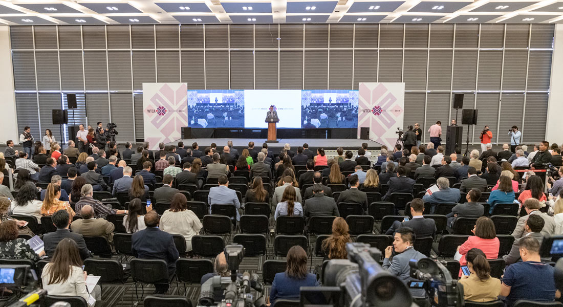
We participated in the 50th. General Assembly of the World Trade Center Association at the Querétaro Congress Center. The event was an opportunity to present our services in Industrial Solutions, Precision Agriculture, and especially our latest division dedicated to Geophysics and Exploration.


Uncategorized
Author : AV3 AEROVISUAL
Aeromagnetic system with drones for geothermal exploitation Master study of aerial magnetometry with drones for geothermal exploitation; by means of the comparison of telluric magnetic profiles in Humeros, Veracruz.
Mexico was present at the 14th edition of the International Conference on Precision Agriculture ICPA 2018, organized by the International Society of Precision Agriculture (ISPA) in Montreal, Canada.
Vegetation indices are visual representations of plant reflectance. Nutrient variation, water stress, biomass, light use, are some examples of properties that can be analyzed with vegetation indices.