Loading...
Loading...
Subsidy study at the historical center of querétaro based on urban micro-gravimetry, with the purpose of planning and conservation of the historical-architectural heritage.
Geophysics and exploration| Precision agriculture
Audio-magnetotelluric exploration for the location of wells and aquifers. Geological study and photogrammetric survey with drones to generate a Digital Terrain Model.
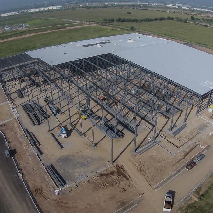
Aerial photography and aerial video with drones for construction monitoring; AeroTech Industrial Park Querétaro.
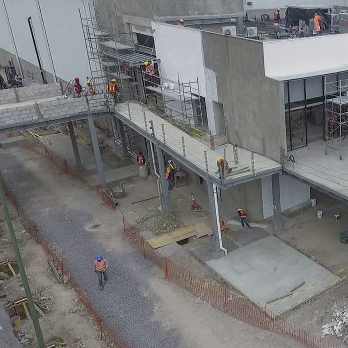
Aerial photography and aerial video with drones for construction survey; Procter & Gamble Querétaro plant.
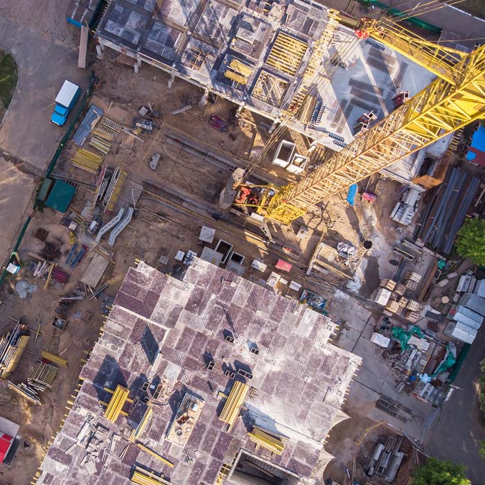
Drone survey, monitoring and mapping services for the construction industry, real estate, urbanism, mining and insurance companies.
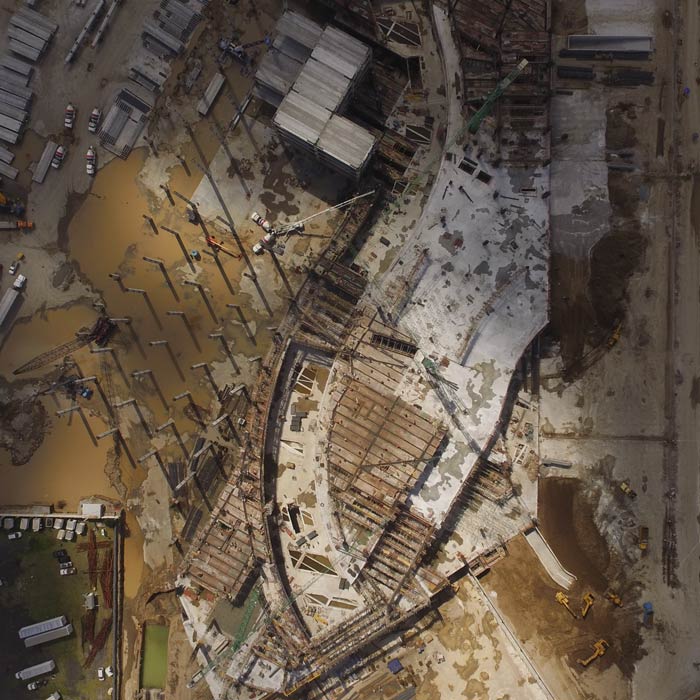
Aerial photography and aerial video with drones for survey and monitoring, construction process Liverpool stores. Aerial mapping and aerial photogrammetry with drones for the construction industry.