Loading...
Loading...
Multispectral mapping with drones, vegetation indices, biomass estimation, pest detection and zoning for agrochemical application in alfalfa and sorghum crops for El Coyme Ranch, Querétaro.
Multispectral mapping and generation of vegetation indices in avocado crops for agrochemical application.
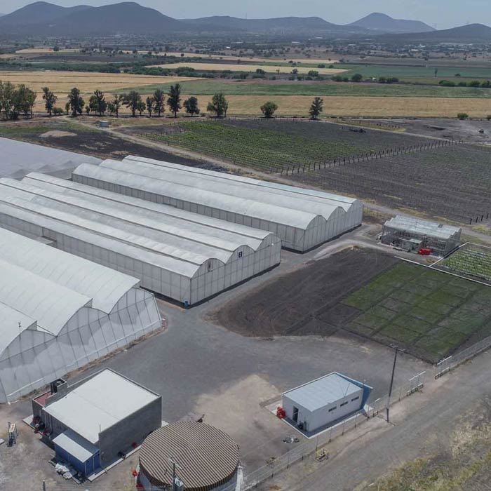
Multispectral mapping with drones and vegetation indices for the Tec de Monterrey Experimental Agricultural Field (CAETEC)
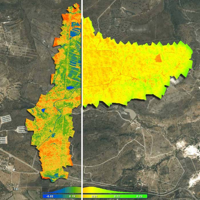
Multispectral monitoring service with drones to obtain vegetation indices, biomass estimation, pest detection and zoning for the application of agrochemicals in crops.

We help you find the best precision agriculture solution for your project through customized consultancies, with the aim of increasing efficiency, control and performance in your production.
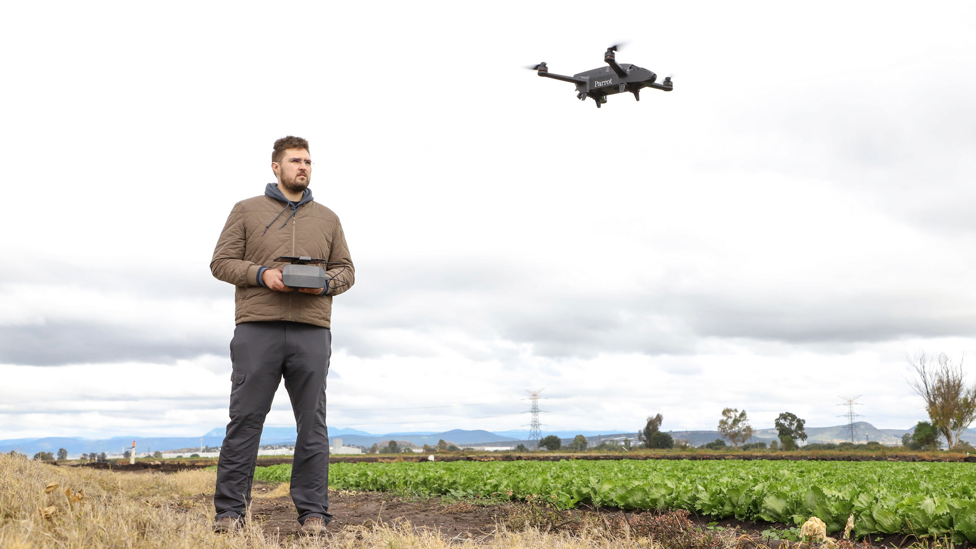
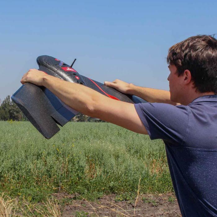
AV3 AEROVISUAL in the promotional video of the Bluegrass Fields drone for precision agriculture of the French company Parrot, in co-production with SYSMAP of Mexico.