Loading...
Loading...
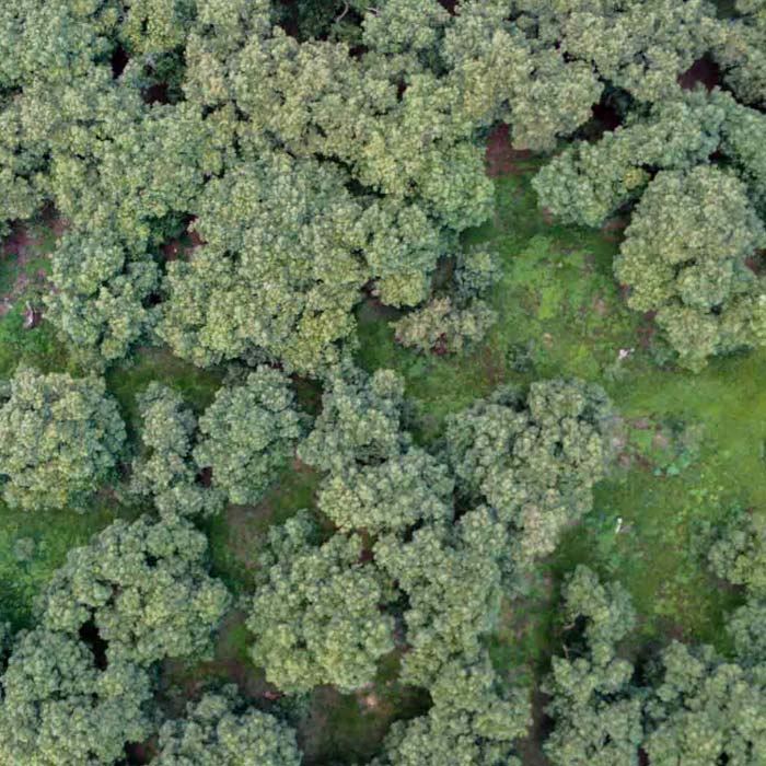
Multispectral mapping and generation of vegetation indices in avocado crops for agrochemical application.
Multispectral mapping with drones and vegetation indices for the Tec de Monterrey Experimental Agricultural Field (CAETEC)
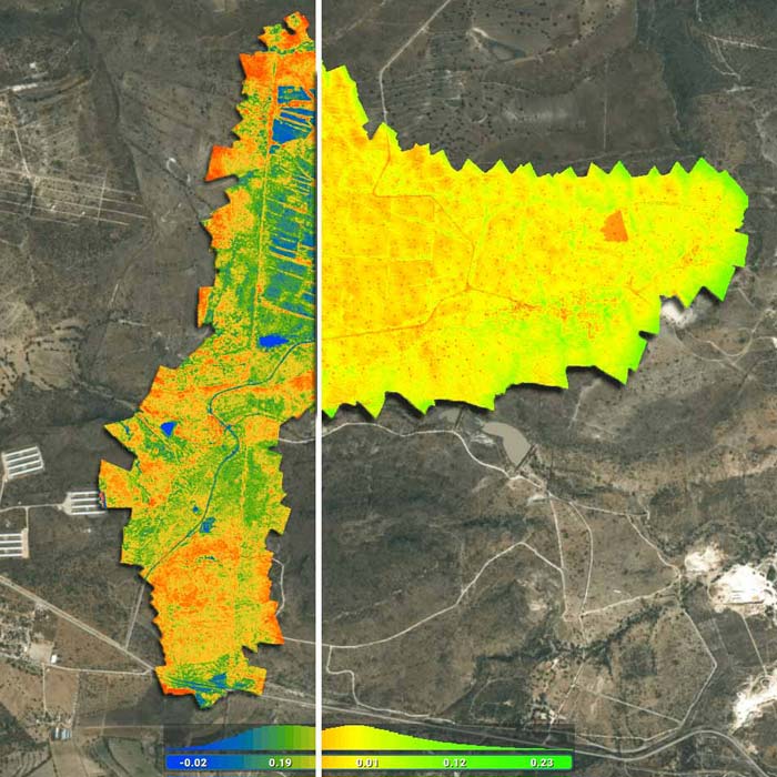
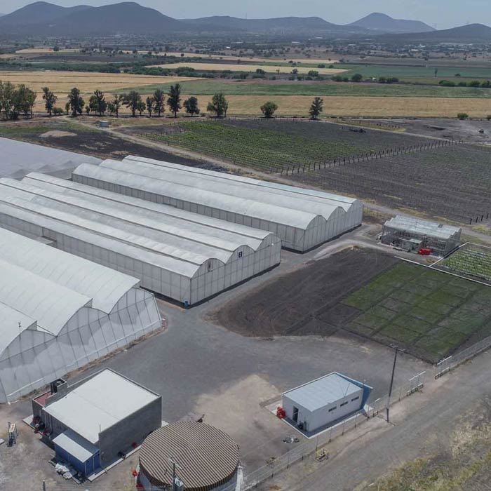
Multispectral monitoring service with drones to obtain vegetation indices, biomass estimation, pest detection and zoning for the application of agrochemicals in crops.