Loading...
Loading...
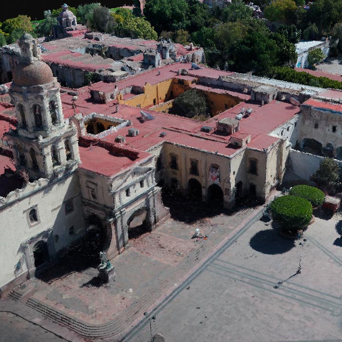
Subsidence study of the Historic Center of Queretaro based on urban microgravimetry, for planning purposes and the conservation of the historic architectural heritage.
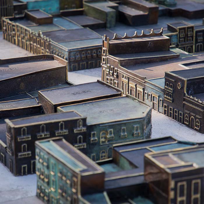
Photogrammetry with drones and stereoscopic image processing to generate 3D models used for the bronze model of the Historic Center of Querétaro.
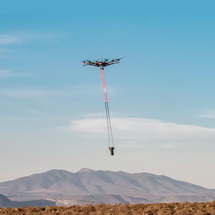
We are pioneers in aerial magnetometry with drones in Mexico. AV-MAG℠ is a high-tech geophysical exploration method for generating highly accurate magnetic anomaly maps.
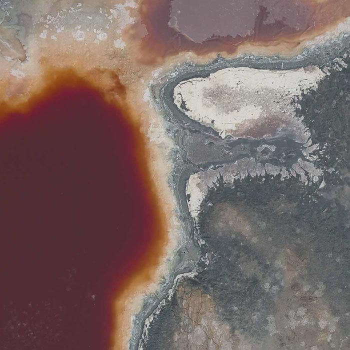
Aerial magnetometry with drones for geothermal exploitation; by comparing telluric magnet profiles in Humeros, region of Perote, Veracruz.
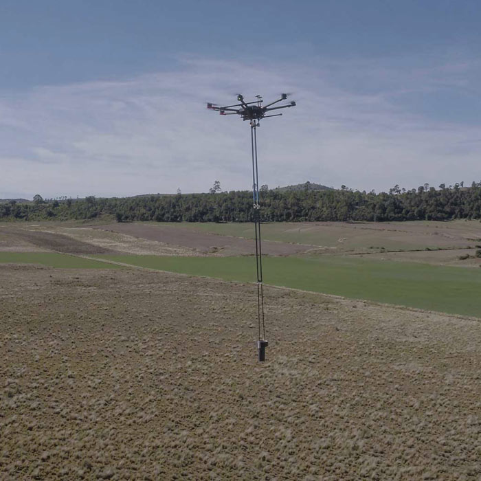
Photogrammetry for digital terrain model generation. Comparison of aerial magnetometry with drones and terrestrial, using microgravimetry and digital terrain model.
Subsidy study at the historical center of querétaro based on urban micro-gravimetry, with the purpose of planning and conservation of the historical-architectural heritage.