Loading...
Loading...
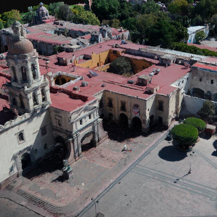
Subsidence study of the Historic Center of Queretaro based on urban microgravimetry, for planning purposes and the conservation of the historic architectural heritage.
Subsidy study at the historical center of querétaro based on urban micro-gravimetry, with the purpose of planning and conservation of the historical-architectural heritage.
Geophysics and exploration| Precision agriculture
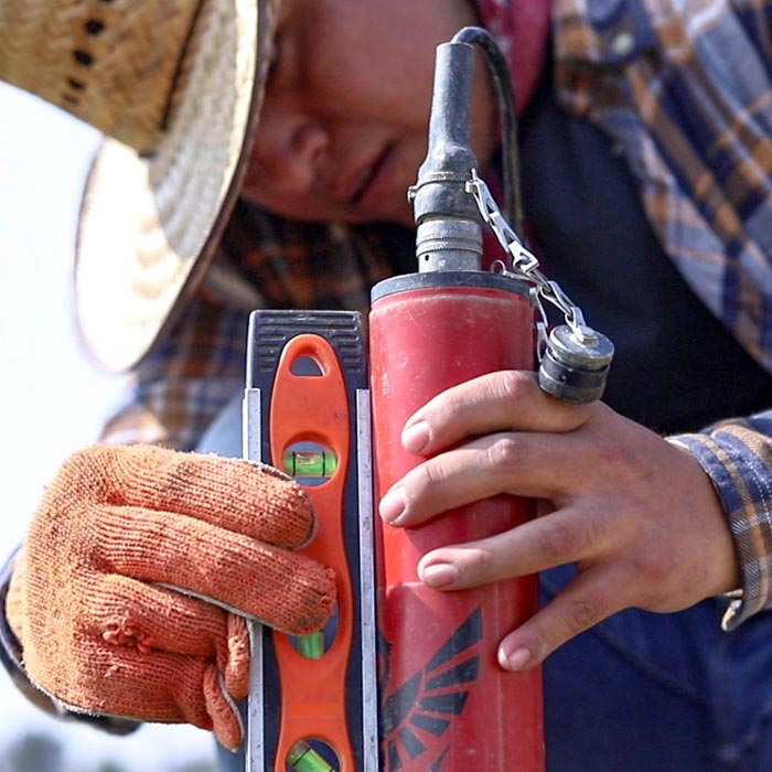
Audio-magnetotelluric exploration for the location of wells and aquifers. Geological study and photogrammetric survey with drones to generate a Digital Terrain Model.