Loading...
Loading...
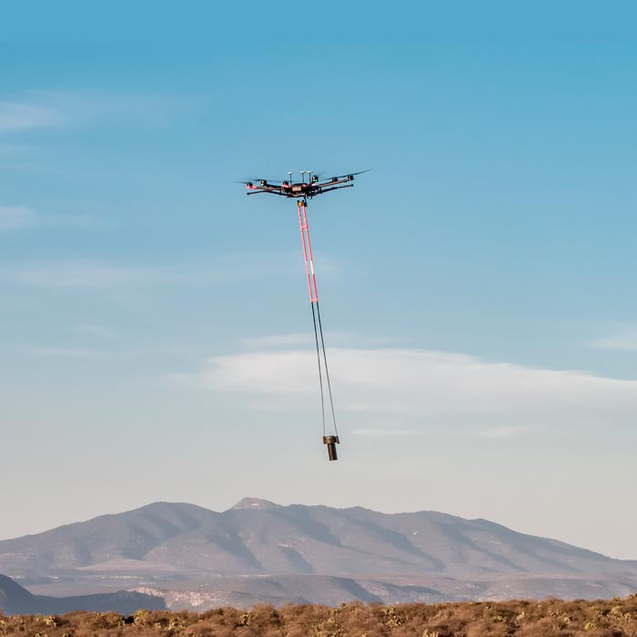
We are pioneers in aerial magnetometry with drones in Mexico. AV-MAG℠ is a high-tech geophysical exploration method for generating highly accurate magnetic anomaly maps.
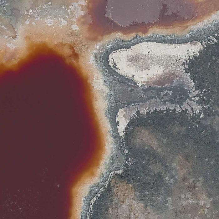
Photogrammetry for digital terrain model generation. Comparison of aerial magnetometry with drones and terrestrial, using microgravimetry and digital terrain model.

Geophysics and exploration| Precision agriculture
Hydrological study and geological analysis for the location of water wells and aquifers; to identify the water capacities of your land and use the water in a more efficient way.