Loading...
Loading...
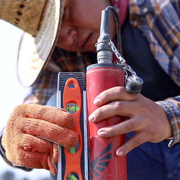
Geophysics and exploration| Precision agriculture
Audio-magnetotelluric exploration for the location of wells and aquifers. Geological study and photogrammetric survey with drones to generate a Digital Terrain Model.