Loading...
Loading...
Geophysics and exploration| Geophysics and exploration| News
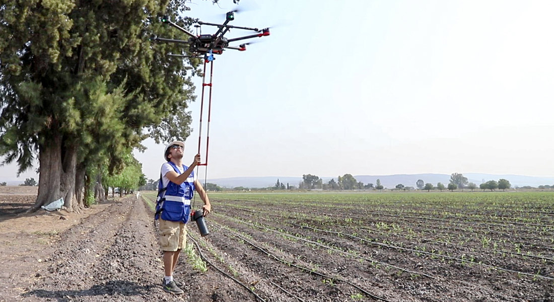
Aeromagnetic system with drones for geothermal exploitation Master study of aerial magnetometry with drones for geothermal exploitation; by means of the comparison of telluric magnetic profiles in Humeros, Veracruz.
Geophysics and exploration| Precision agriculture
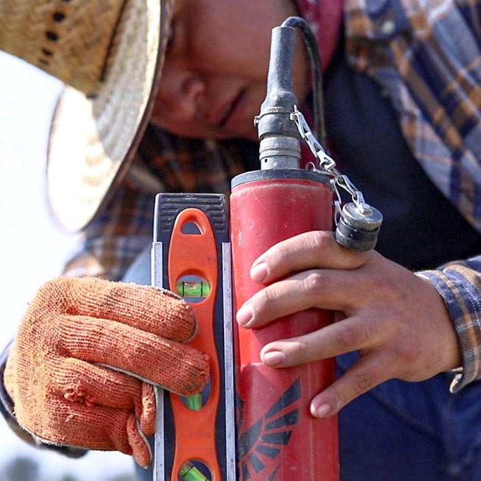
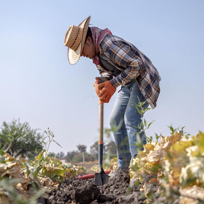
Audio-magnetotelluric exploration for the location of wells and aquifers. Geological study and photogrammetric survey with drones to generate a Digital Terrain Model.
Geophysics and exploration| Precision agriculture
Hydrological study and geological analysis for the location of water wells and aquifers; to identify the water capacities of your land and use the water in a more efficient way.