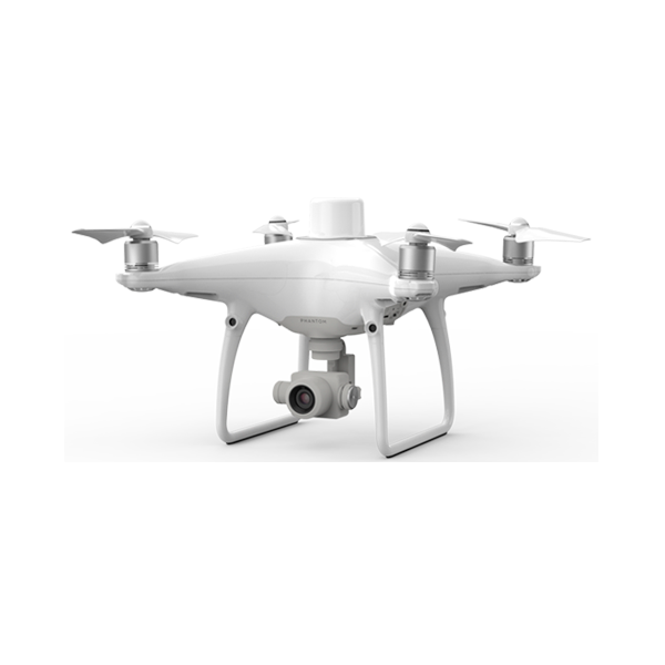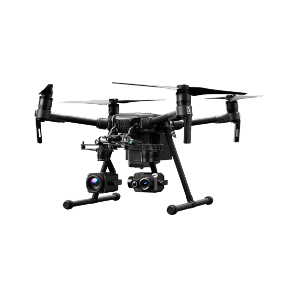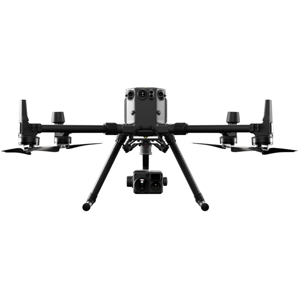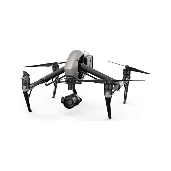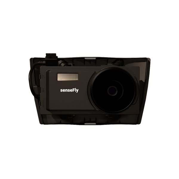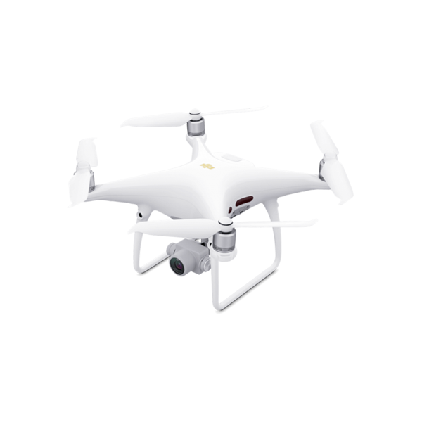
Main uses
Aerial photography, aerial video, photogrammetry
Speed range
≤31 mph (50 kph) at 6.6 ft (2 m)
Maximum height above sea level
19685 ft (6000 m)
Maximum wind resistance
10 m / s
Maximum flight time
30 minutes
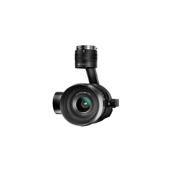
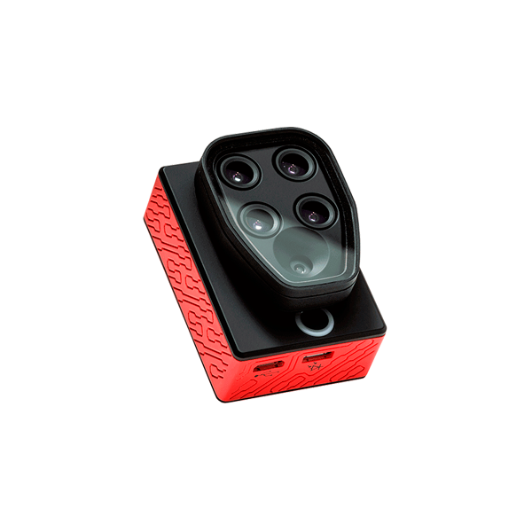
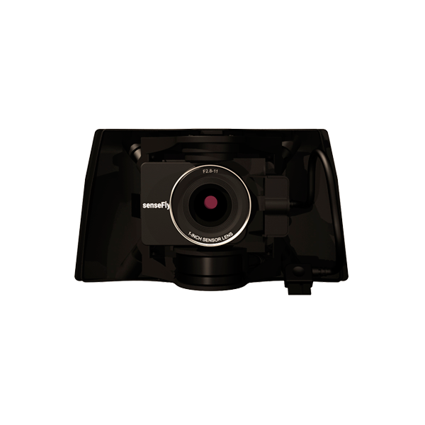
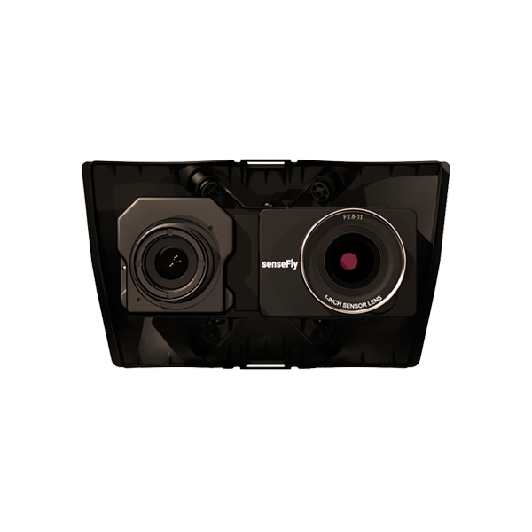
Lens
FOV 84 ° 8.8mm / 24mm (35mm format equivalent) f / 2.8 – f / 11 autofocus at 1m – ∞