FLUXGATE AEROMAGNETIC ACQUISITION SYSTEM WITH DRONES
LOS HUMEROS GEOTHERMAL FIELD CASE
Arzate Andres (1), Arzate Jorge A. (2), Corbo Fernando (3), Garza Juan Carlos (4), Tovar Erick (5), Olivares Pedro (5) and Villa-Michel José Eduardo (5).
- (1) Postgraduate in Earth Sciences, based in CGEO, Juriquilla, Qro.
- (2) Centro de Geociencias(Geophysics Research Center), Campus UNAM-Juriquilla, Qro.
- (3) Conacyt Chairs
- (4) Lab. Geophysics, CGEO
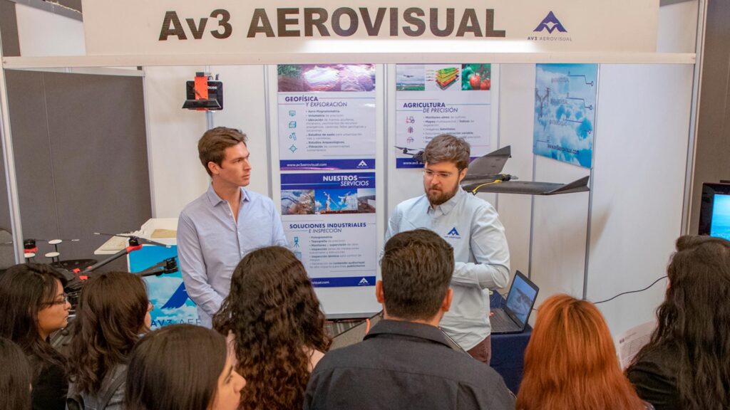
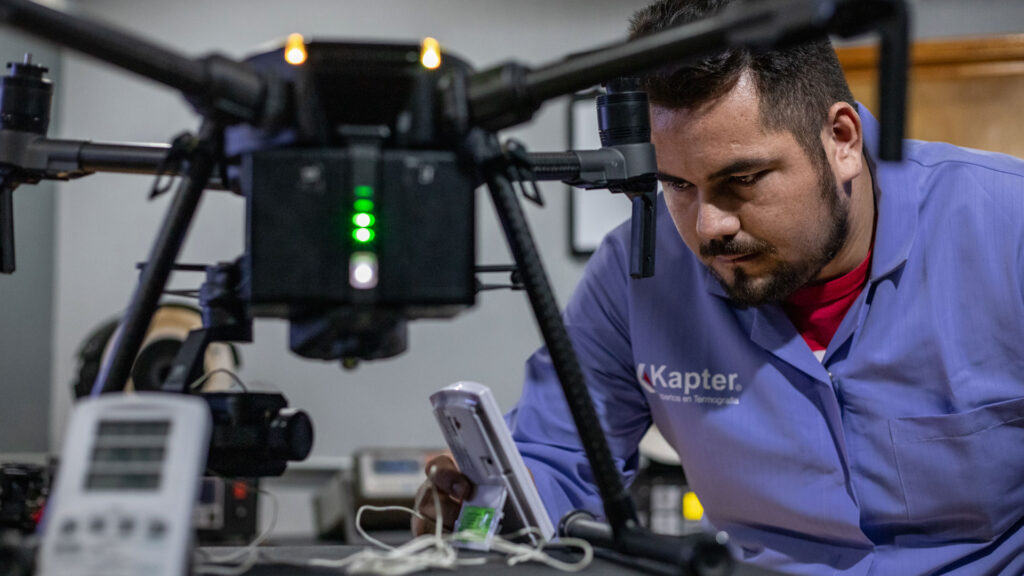
- (5) AV3 AEROVISUAL
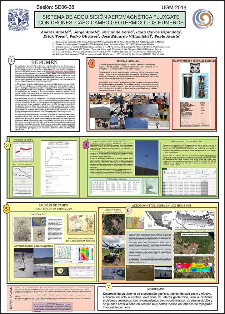
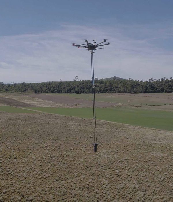
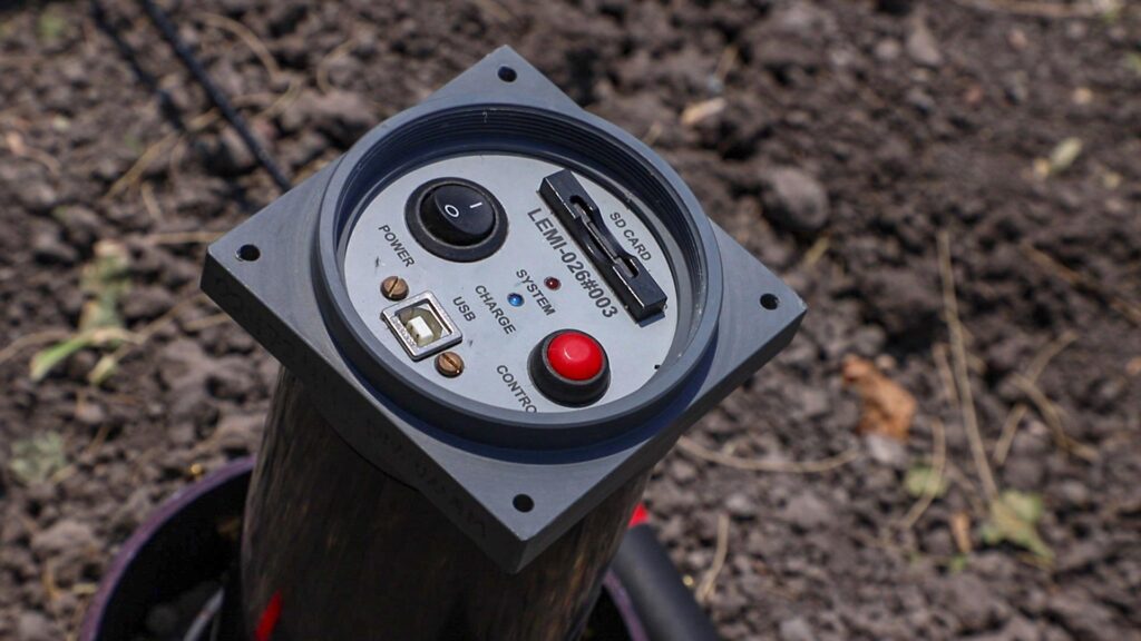
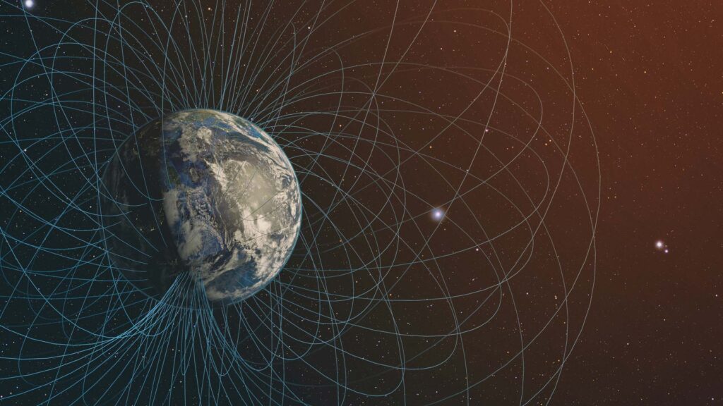
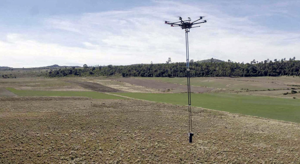
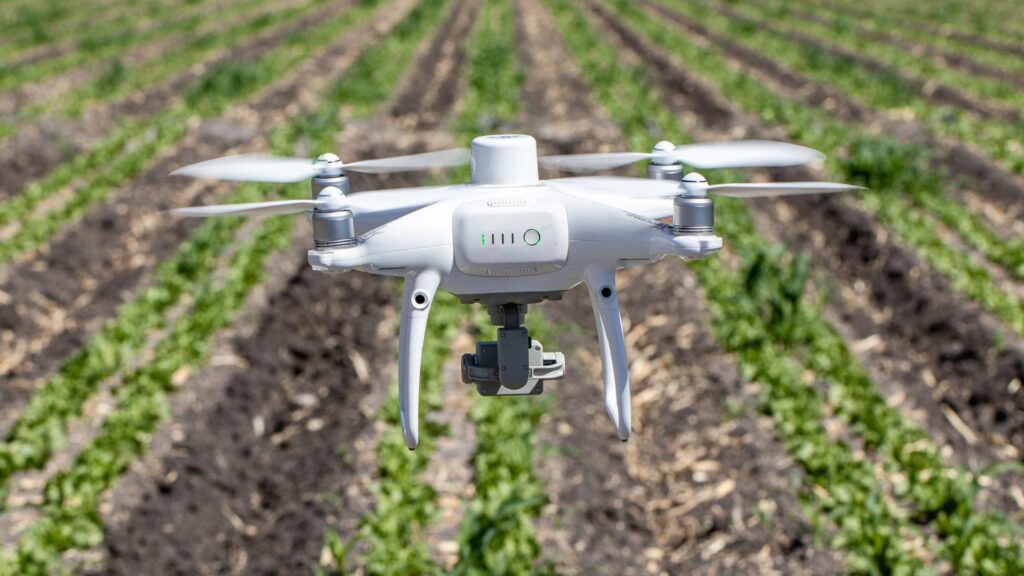
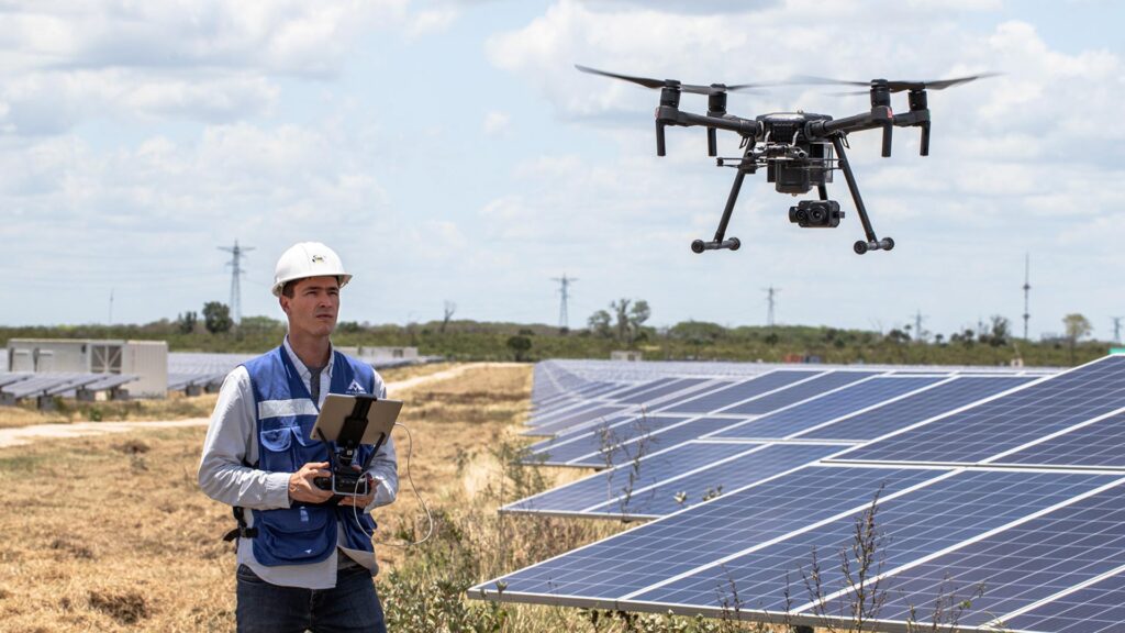
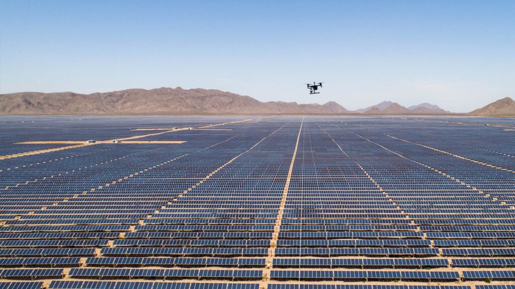
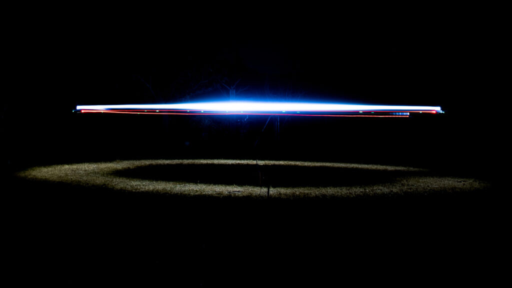
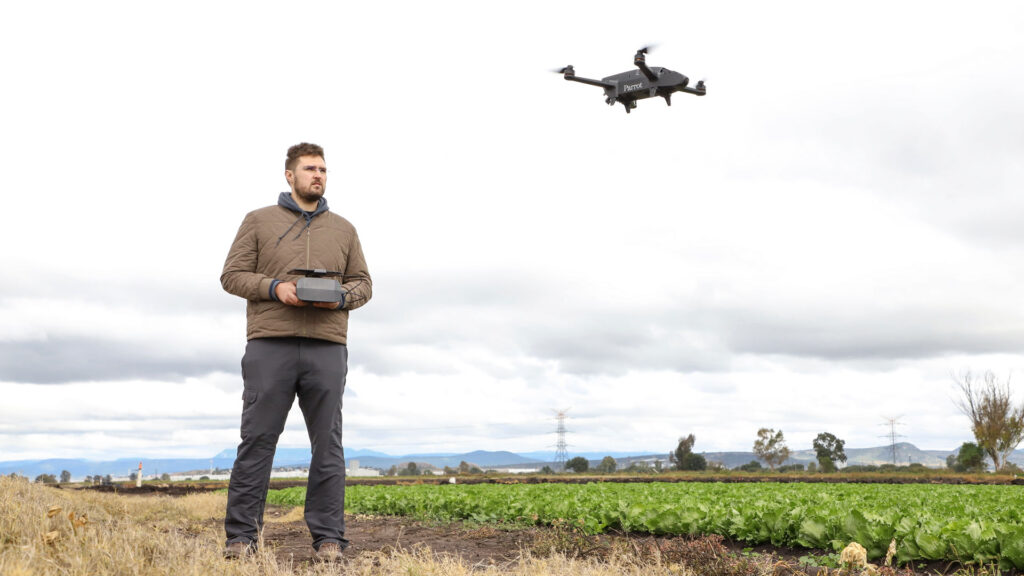
Geophysical exploration has quickly evolved, both in database processing and interpretation through software development, as well as in acquisition technology with the use of increasingly sophisticated and accurate instrumentation. A good example is the aero-magnetic acquisition system using programmed drones that transport a three-component fluxgate magnetometer (LEMI-026) at constant height and speed, which are measured independently, including instantaneous deviation from vertical (tilt), position and time, all with reference to a base station of the same characteristics.
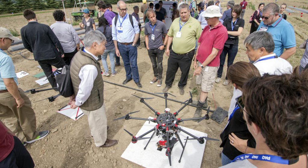
Unlike the aeromagnetic acquisition systems with drones that use proton magnetometers, the system developed as part of this work is not only lighter and of high resolution, it also allows the individual interpretation of the components of the magnetic field or the estimation of the total field for its interpretation. However, the redundancy of tensor data acquired by the fluxgate sensor provides greater visualization and interpretation alternatives than the magnitude of the field on its own that actually constitutes a scalar field. This acquisition system, developed as part of a CEMIE-GEO project (P5), is also low cost and allows to cover in a matter of minutes extensions of land that would take days to be covered using terrestrial magnetometry, with the known advantage that it is possible to explore areas of difficult access and to control both the speed and the height of the sensor with great precision.
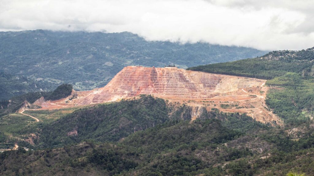
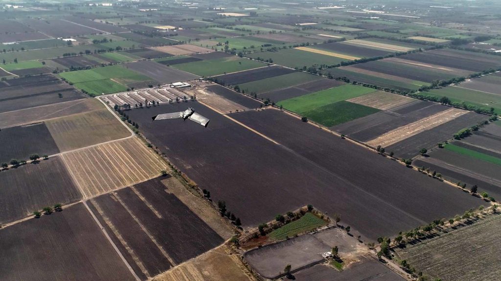
In this work, the results obtained from a data acquisition in the central zone of Caldera Los Humeros are presented, where a high magnetic gradient is associated with the zone of greater production of the geothermal deposit. The results show the versatility of this new geophysical tool to conduct studies of recognition and regional diagnosis of geothermal or mining prospects, but it can also be used as a tool to detail structures and lithological contrasts for geological or environmental engineering purposes among many other applications.