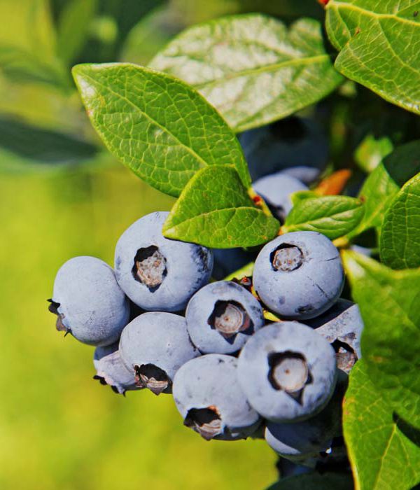
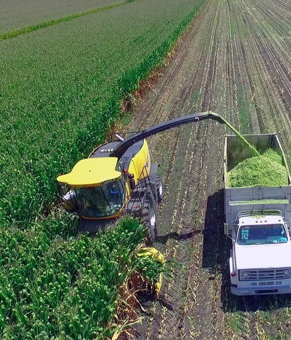
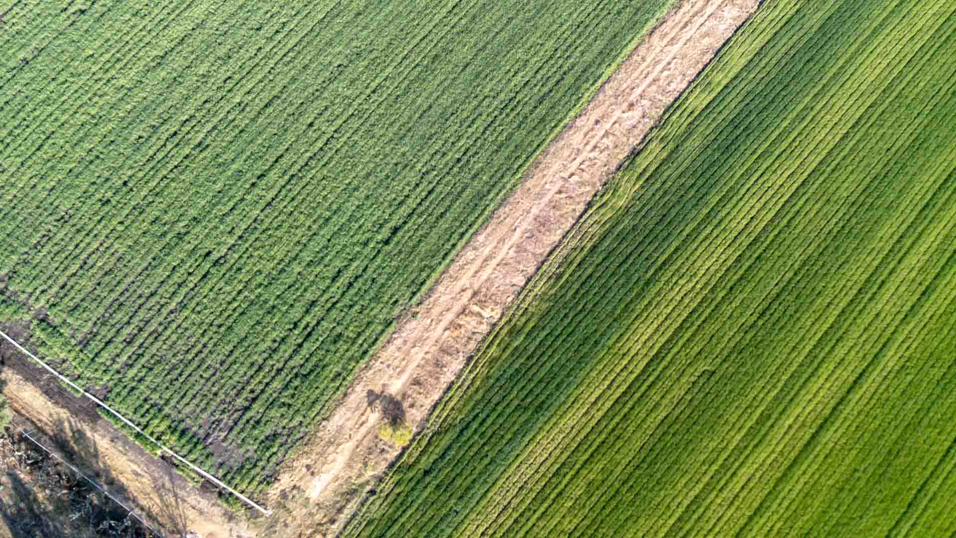
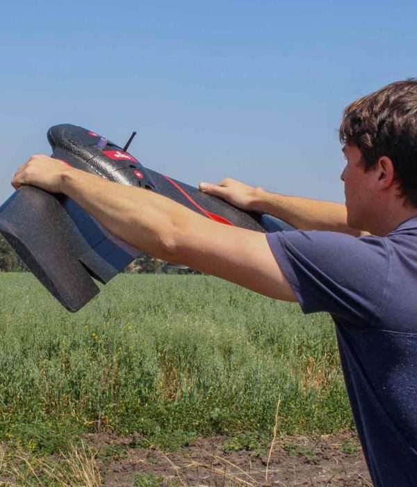
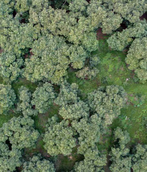
Loading...
loading
Loading...

Corn research

Project

CROP
Corn

RESEARCH
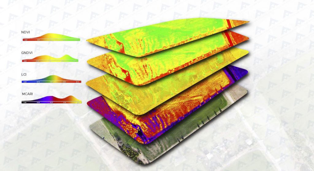
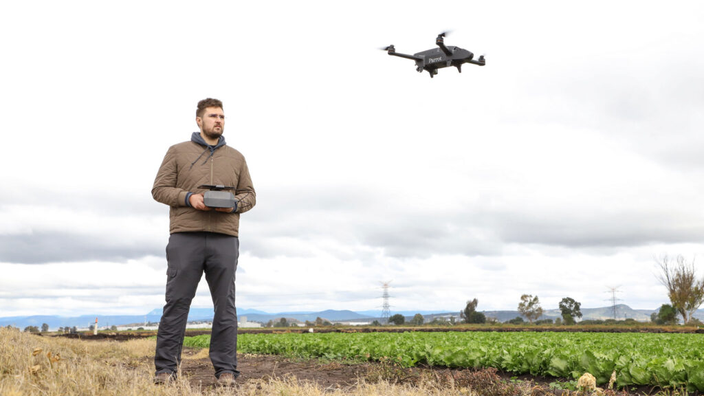
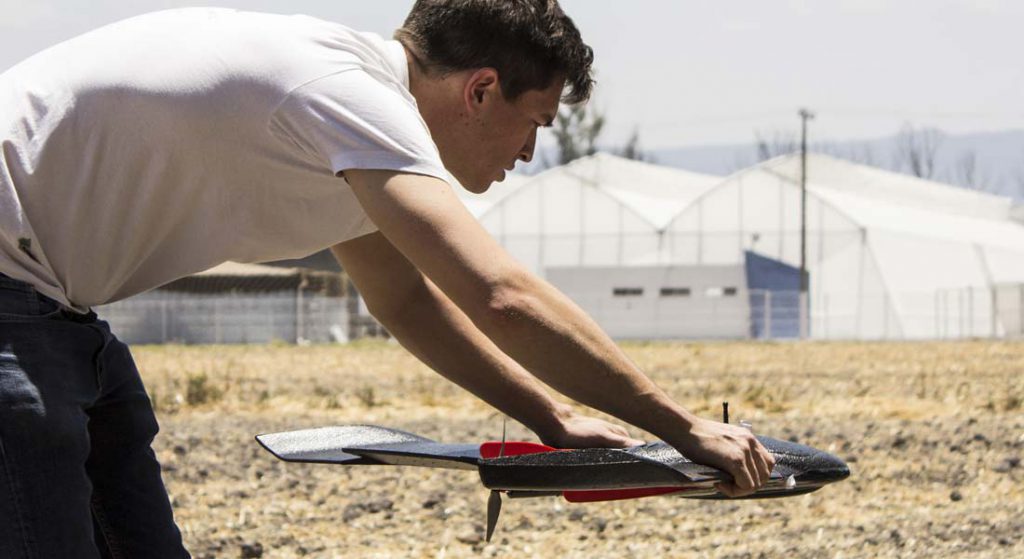
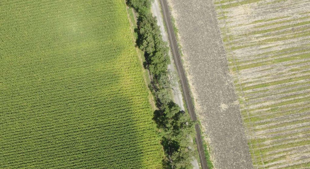
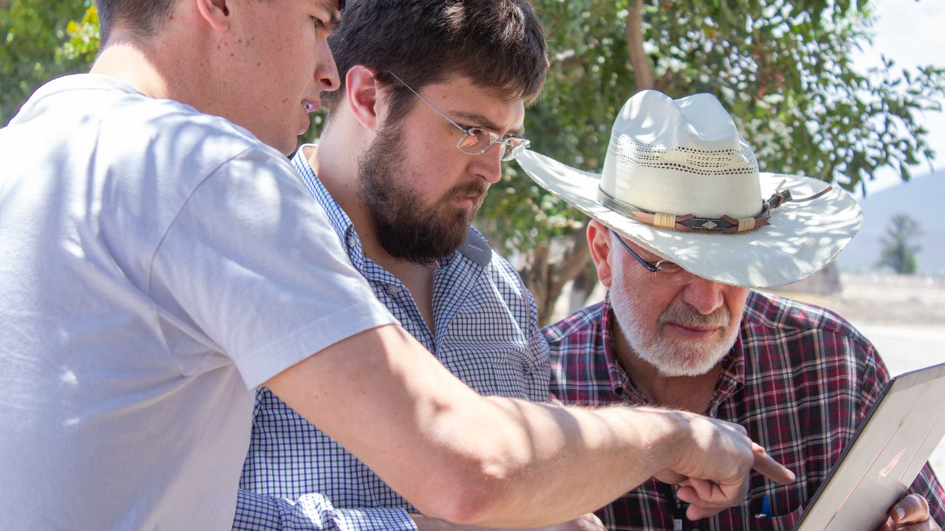
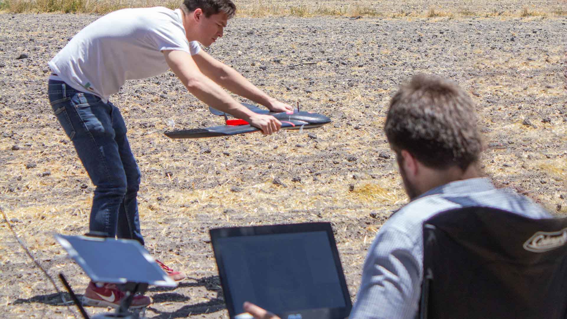
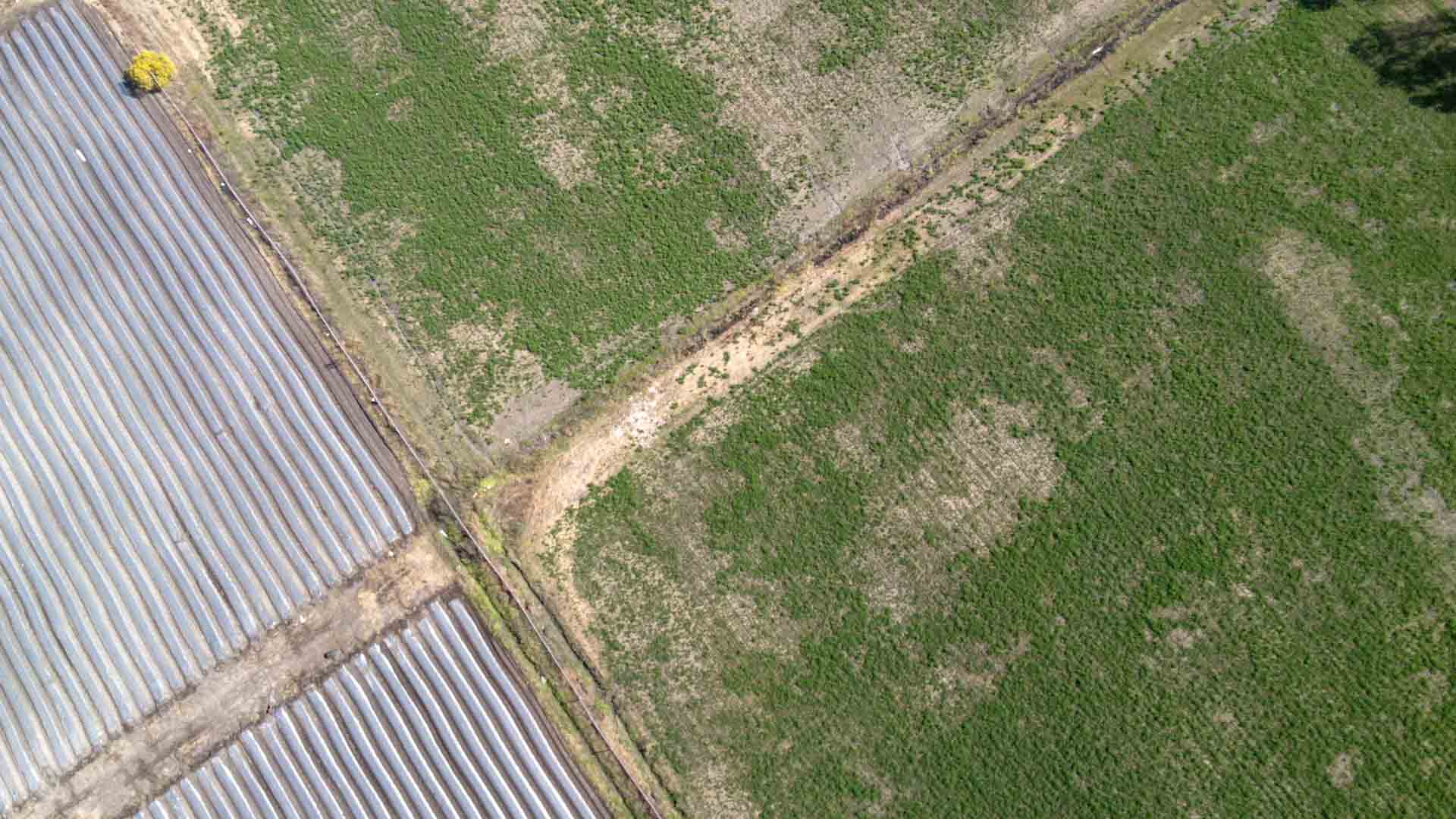
Development of basic field-reality correlations vs. vegetation indices for precision agriculture purposes. Different agricultural areas are integrated such as crop phenology, interpretation of soil and climate analysis, integration of georeferenced agricultural practices, remote sensing and Geographic Information Systems.

LOCATION

Querétaro, México.

HECTARES

90

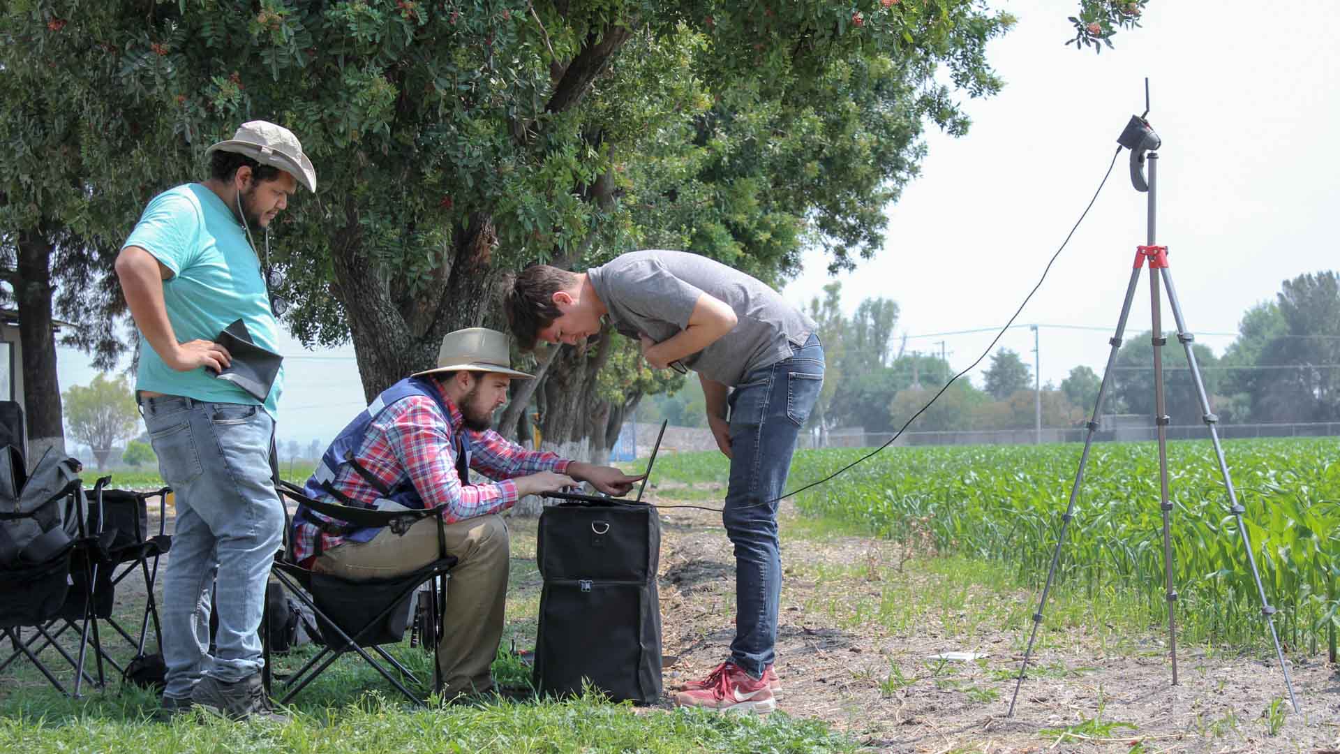
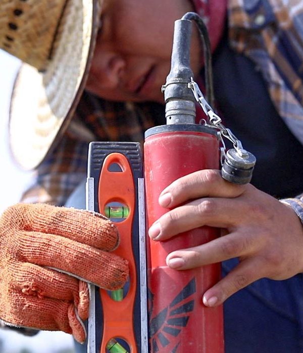
TECHNICAL SPECIFICATIONS

Sensefly eBee SQ

SEQUOIA Multispectral Sensor

PERIOD

24 months

EXPLORE RELATED PROJECTS

EXPLORE RELATED PROJECTS
Services:
Consulting and research
Precision agriculture

We help you find the best precision agriculture solution for your project through customized consultancies, with the aim of increasing efficiency, control and performance in your production.

More Information ...
Multiespectral monitoring
Precision agriculture

Multispectral monitoring service with drones to obtain vegetation indices, biomass estimation, pest detection and zoning for the application of agrochemicals in crops.

More Information ...
Well location
Geophysics and exploration Precision agriculture

Hydrological study and geological analysis for the location of water wells and aquifers; to identify the water capacities of your land and use the water in a more efficient way.

More Information ...
Projects:
Related Posts: Precision agriculture

Our precision agriculture services use drones, precision technologies and data analysis to efficiently manage resources, identify problems and optimize crop production. These services optimize resources and costs, automate and improve production processes for sectors such as agriculture, hydro-agriculture, agro-industry, agri-food, agro-chemicals, agricultural research, sustainable development and sustainable agriculture. All our services are insured and all our operators are licenced drone pilots.