Loading...
loading
Loading...

Well location study

Project

PROJECT DESCRIPTION

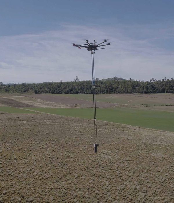
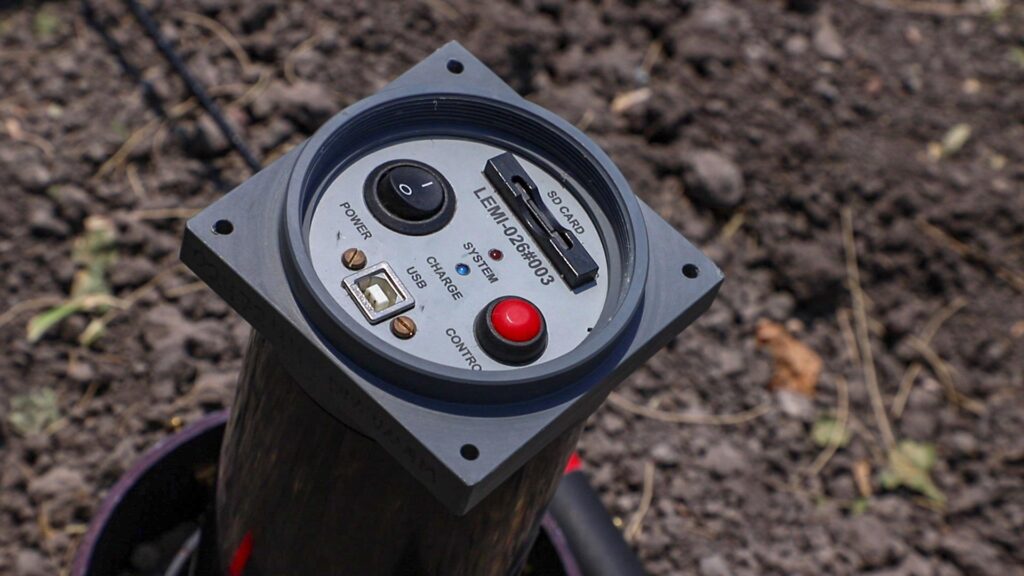
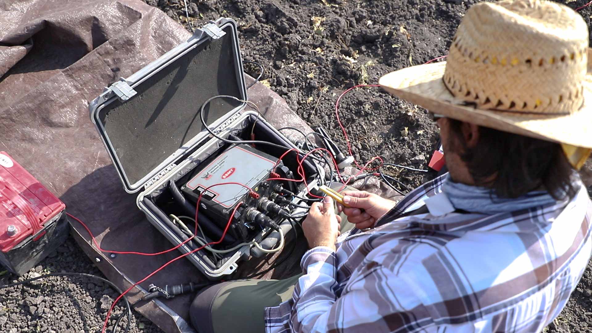
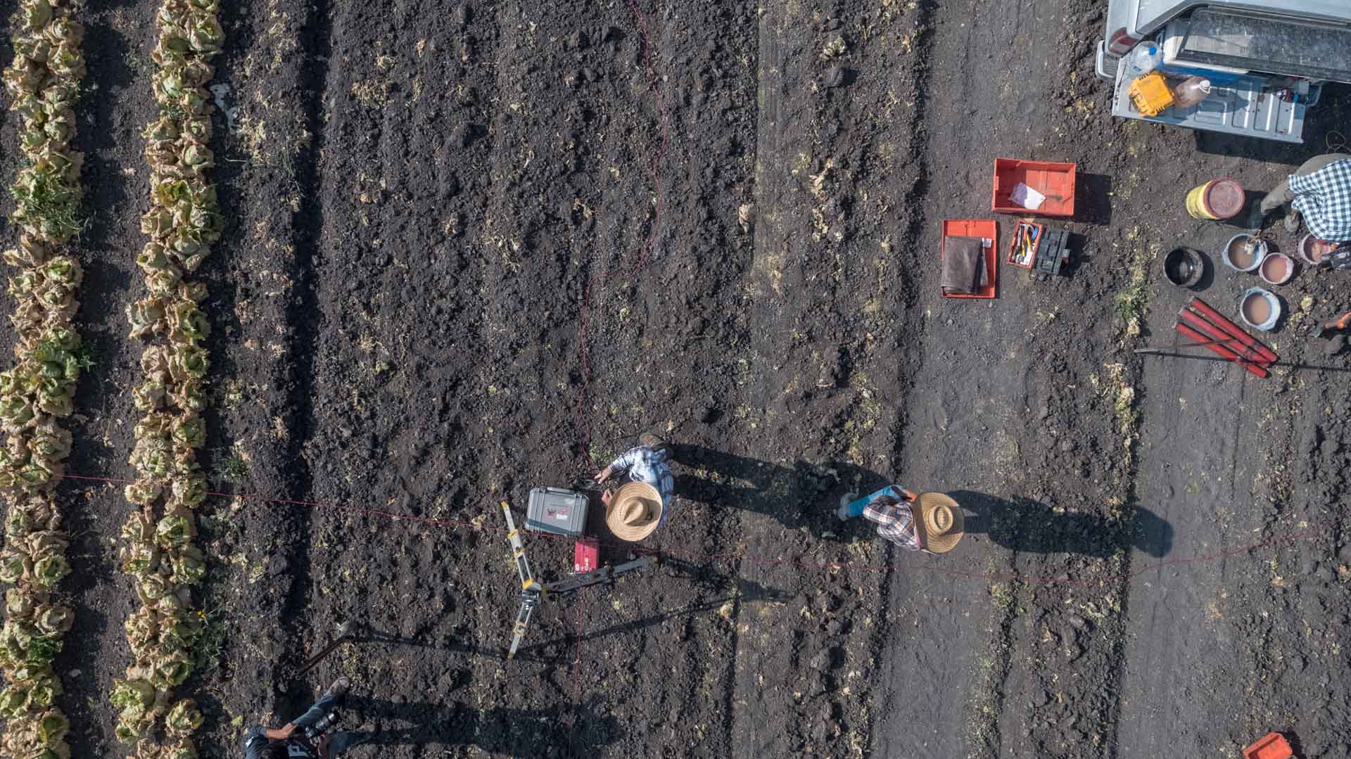
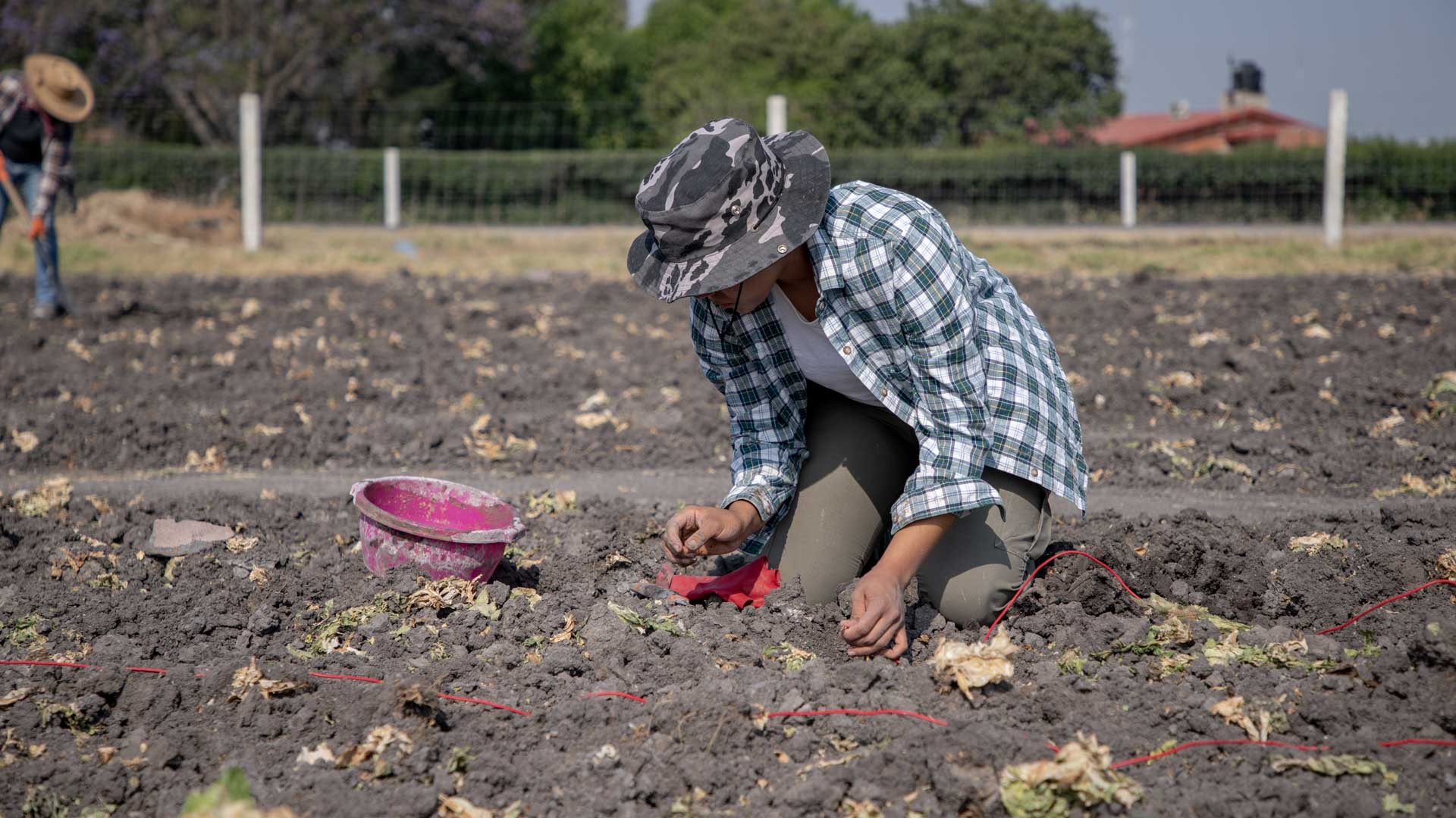
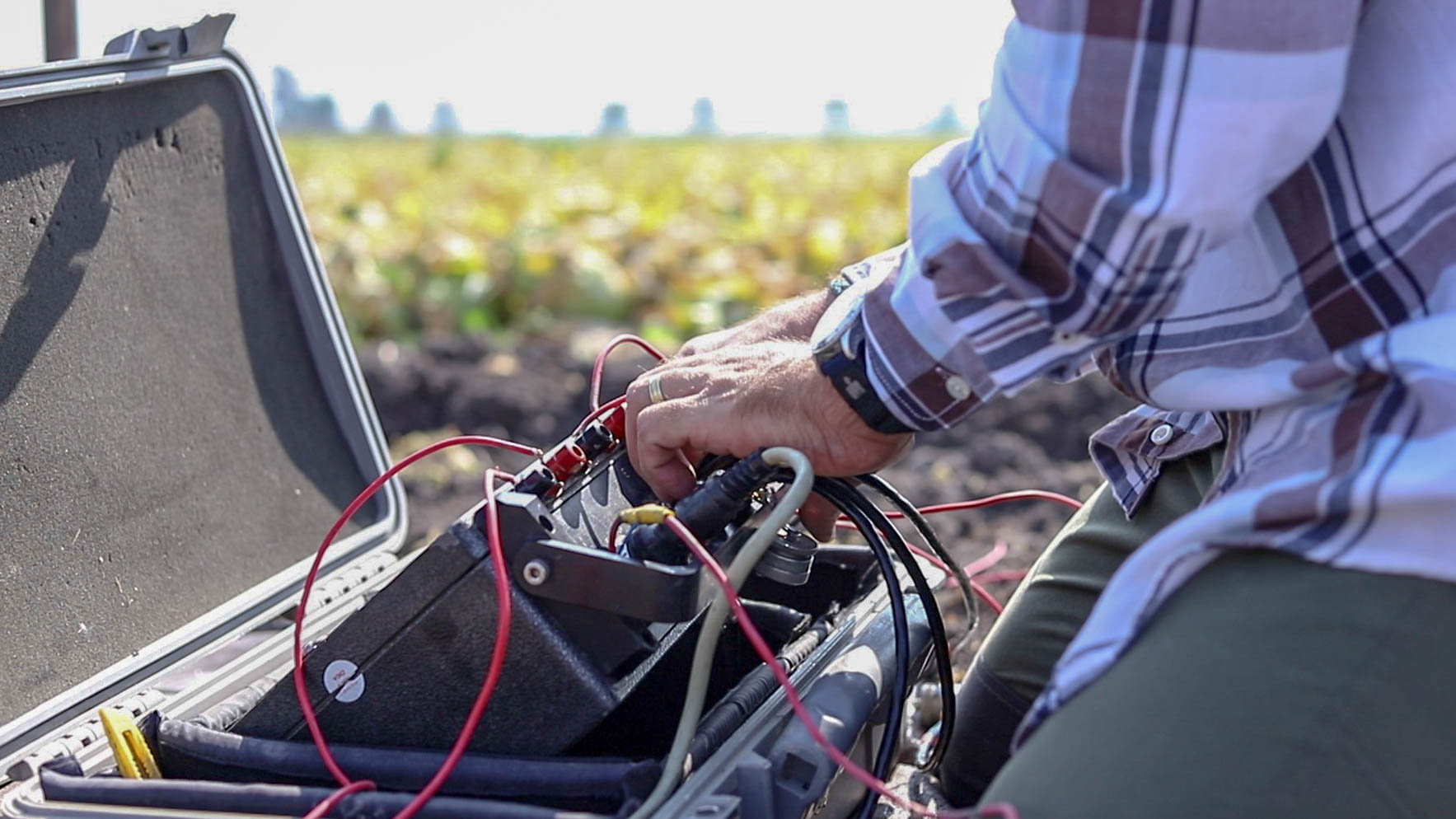
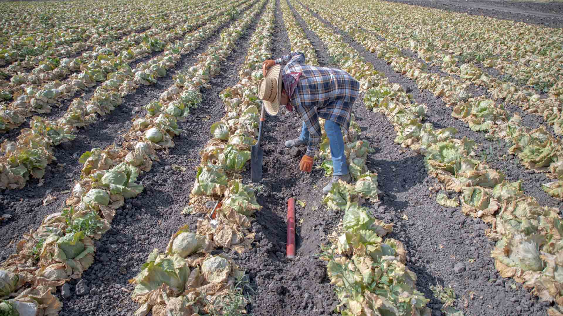
AUDIO-MAGNETO-TELLURIC SURVEYS

Implementation of audio-magnetotelluric surveys for strata characterization

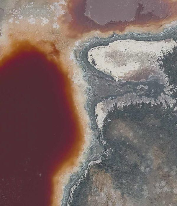
Analytical study of the aquifer
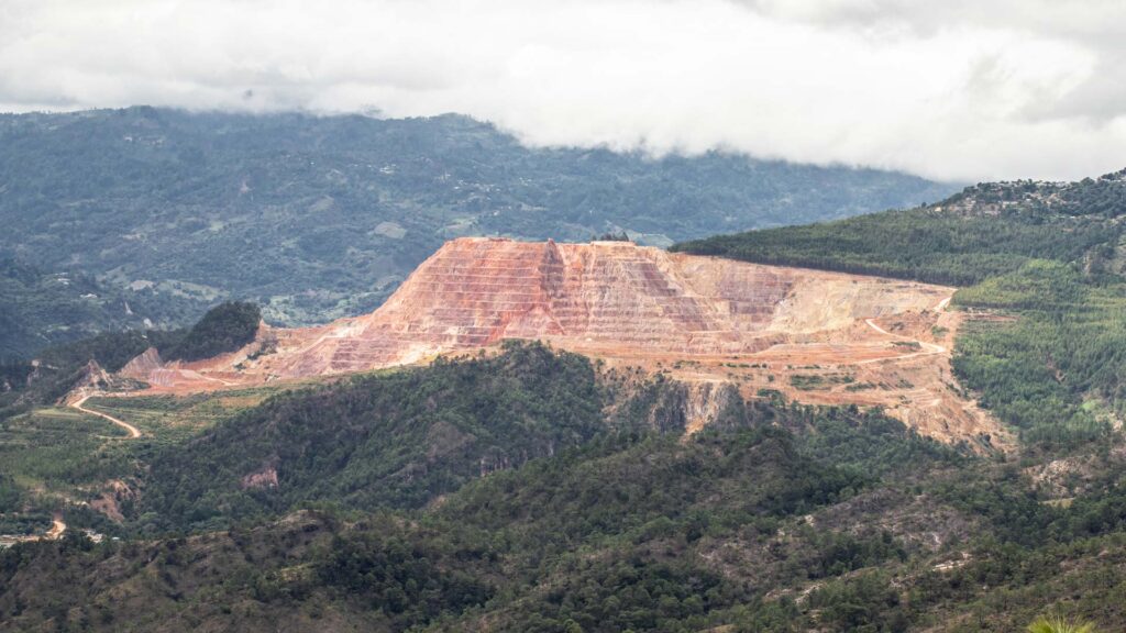
Geological study

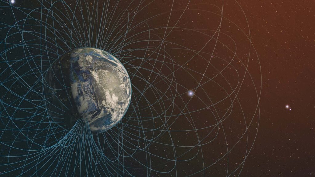
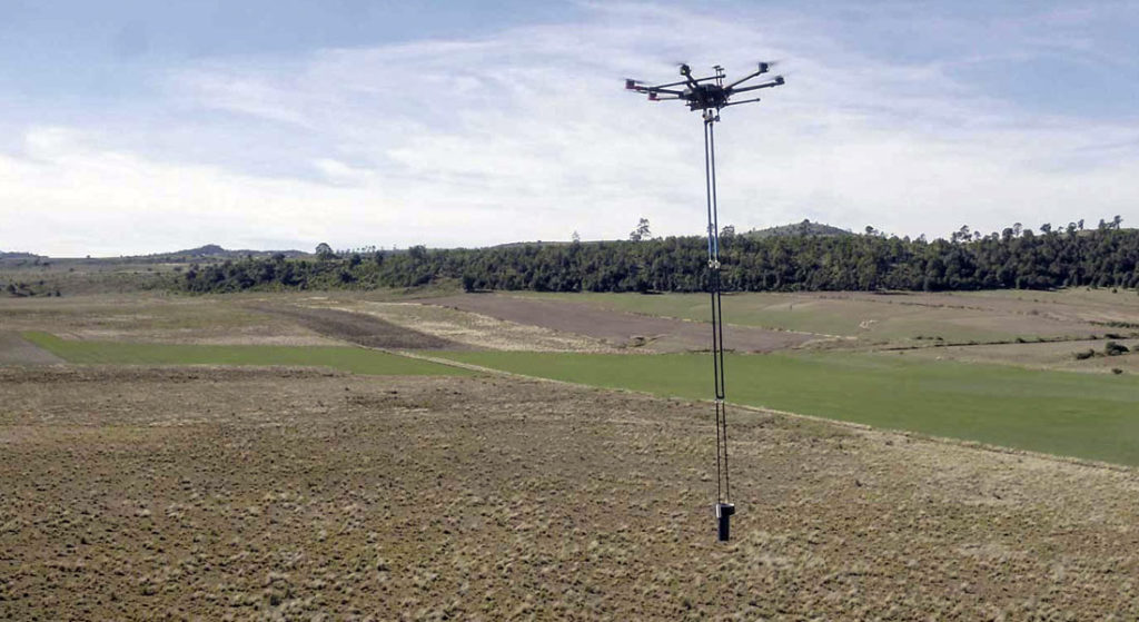
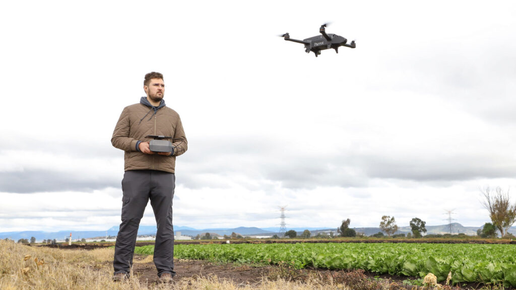
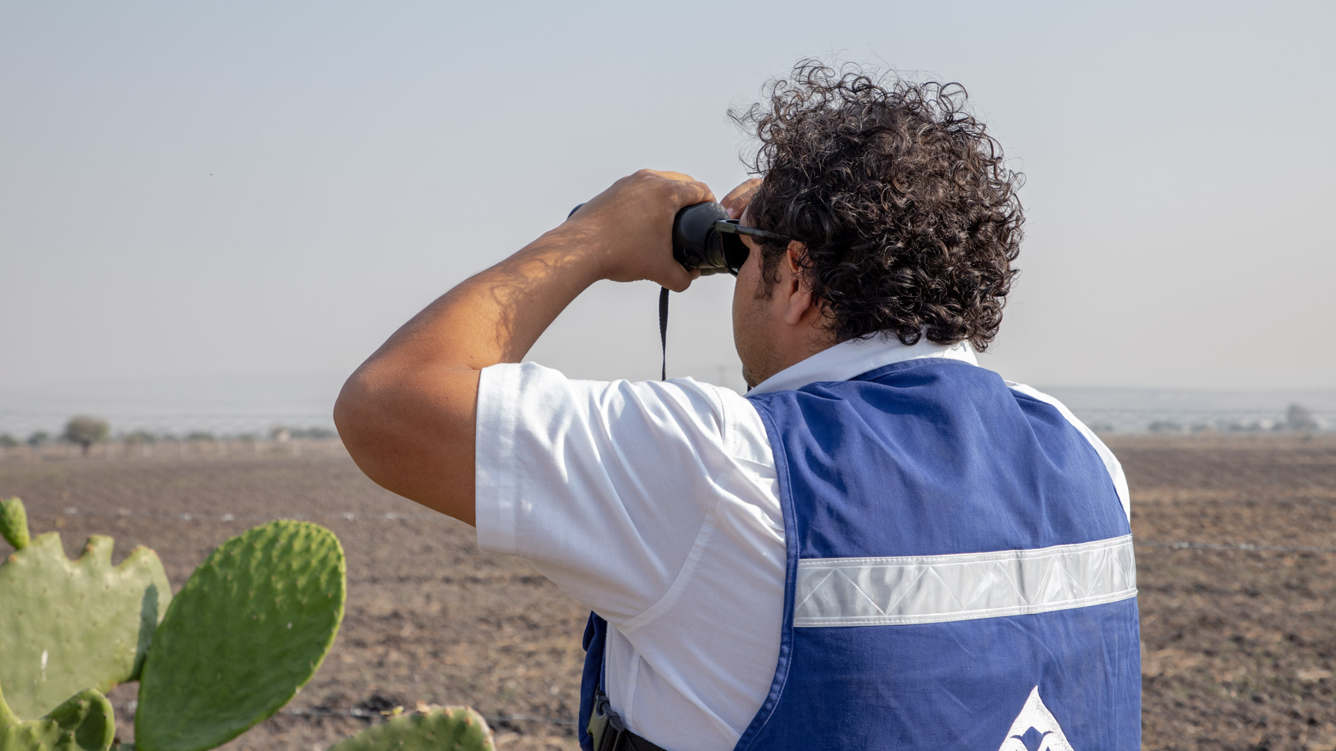
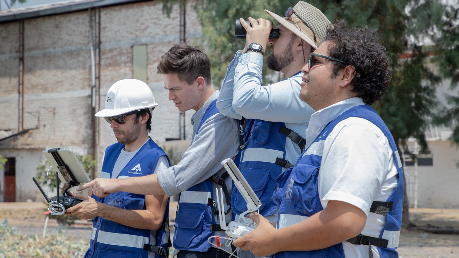
Parallel study of aero-magnetometry for comparison of results

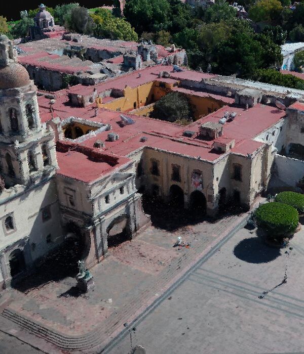
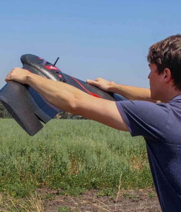
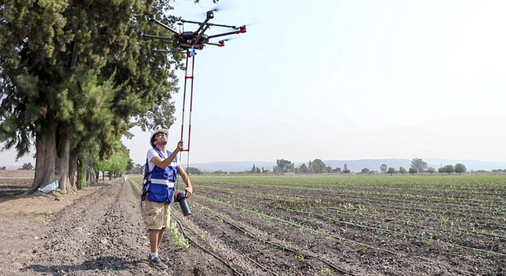
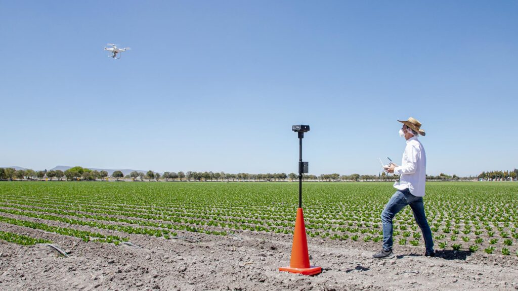
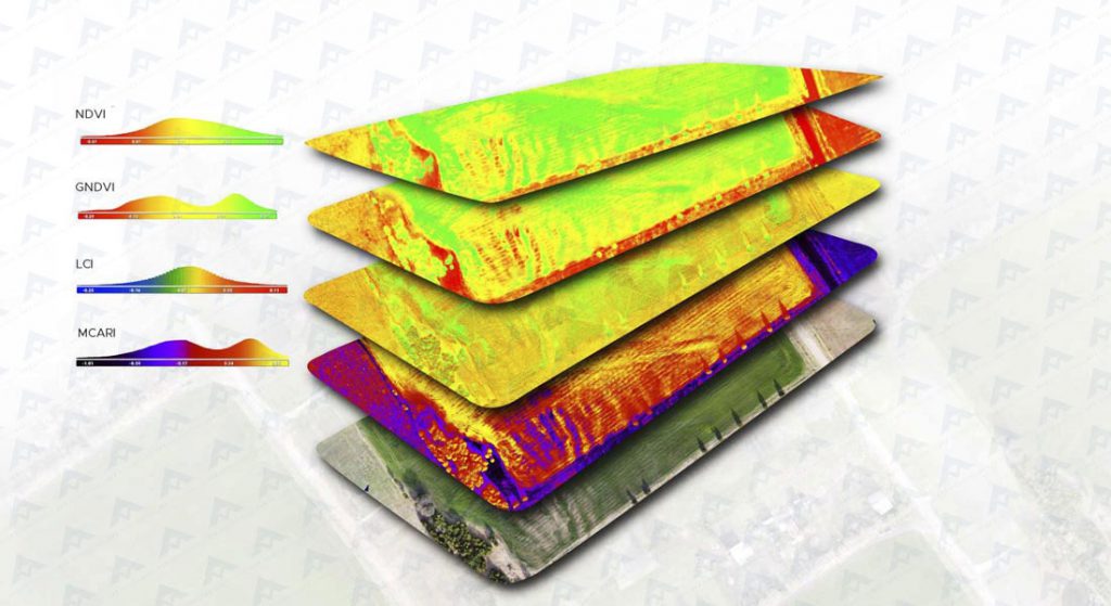
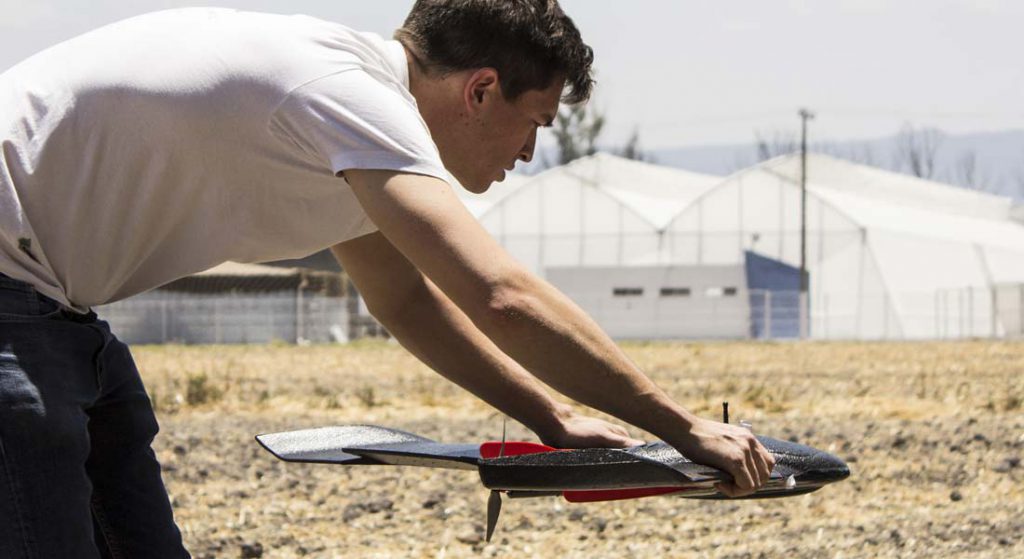
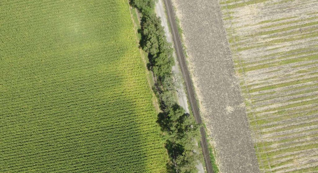
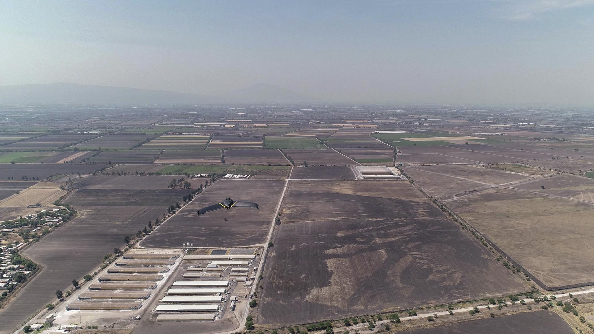
Photogrammetric survey for digital terrain model generation

Photogrammetric survey for topographic study.

LOCATION

Guanajuato, México.

DATE

2019

EXPLORE RELATED PROJECTS

EXPLORE RELATED PROJECTS
Services:
Consulting and research
Precision agriculture

We help you find the best precision agriculture solution for your project through customized consultancies, with the aim of increasing efficiency, control and performance in your production.

More Information ...
Multiespectral monitoring
Precision agriculture

Multispectral monitoring service with drones to obtain vegetation indices, biomass estimation, pest detection and zoning for the application of agrochemicals in crops.

More Information ...
Well location
Geophysics and exploration Precision agriculture

Hydrological study and geological analysis for the location of water wells and aquifers; to identify the water capacities of your land and use the water in a more efficient way.

More Information ...
Drone aereo magnetometry
Geophysics and exploration

We are pioneers in aerial magnetometry with drones in Mexico. AV-MAG℠ is a high-tech geophysical exploration method for generating highly accurate magnetic anomaly maps.

More Information ...
Geophysical studies
Geophysics and exploration

We implement geophysical methods for underground research and exploration. Natural resources and hydrocarbons, mining, construction, urban planning, public safety, archeology and agriculture.

More Information ...
Projects:
Related Posts: Geophysics and exploration

As part of our services for geophysics and exploration, we use drones and geophysical technologies for the exploration and estimation of resources, identification of geological structures and soil studies. these services optimize resources and costs, automate and improve processes for planning and development of mining projects, exploration plans, geology management, geophysical investigation, drilling, mineral resource estimation, evaluation of geological and exploration projects, geological data collection, geothermal prospecting, establishment of lithological boundaries, topography, rock bed configuration, well and aquifer location. All our services are insured and all our operators are licenced drone pilots.

Related Posts: Precision agriculture

Our precision agriculture services use drones, precision technologies and data analysis to efficiently manage resources, identify problems and optimize crop production. These services optimize resources and costs, automate and improve production processes for sectors such as agriculture, hydro-agriculture, agro-industry, agri-food, agro-chemicals, agricultural research, sustainable development and sustainable agriculture. All our services are insured and all our operators are licenced drone pilots.