Loading...
loading
Loading...

Drone aereo magnetometry

Service

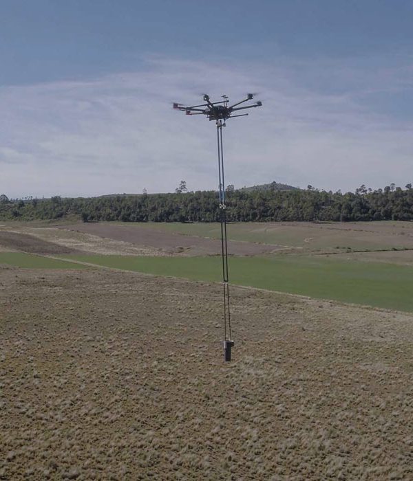
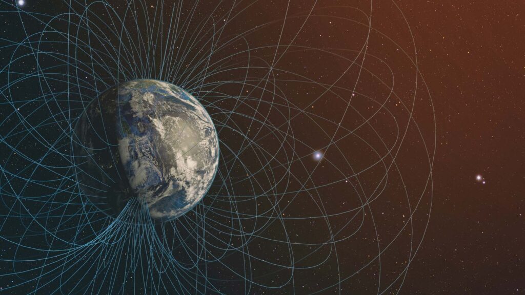
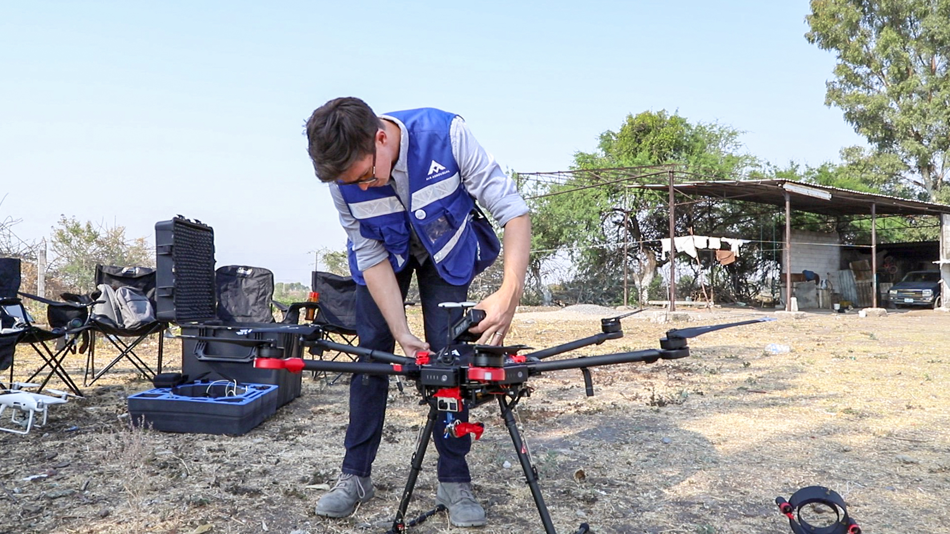
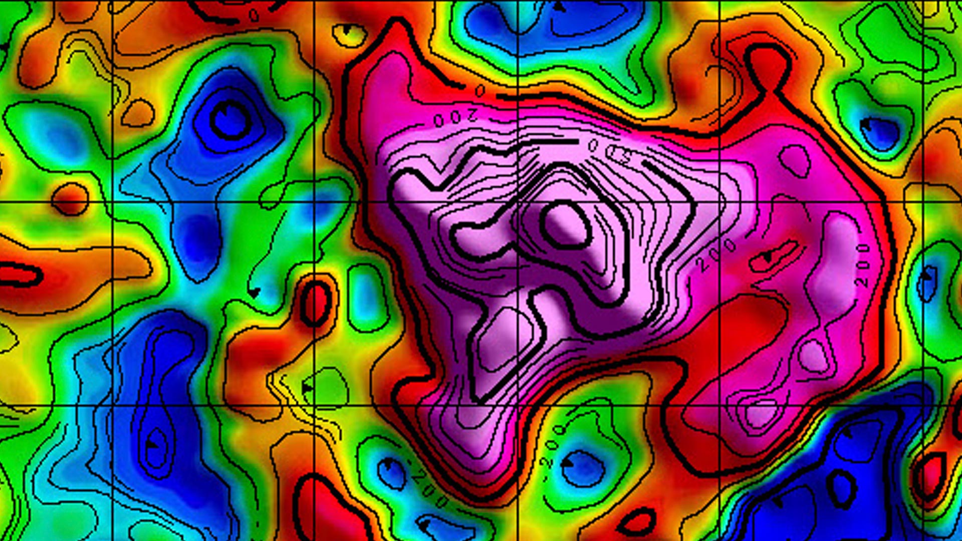
AV-MAG℠ is a geophysical exploration system that employs the latest technology by using state-of-the-art sensors and integrating them with drone technology, which allows the creation of magnetic anomaly maps with great precision and efficiency.

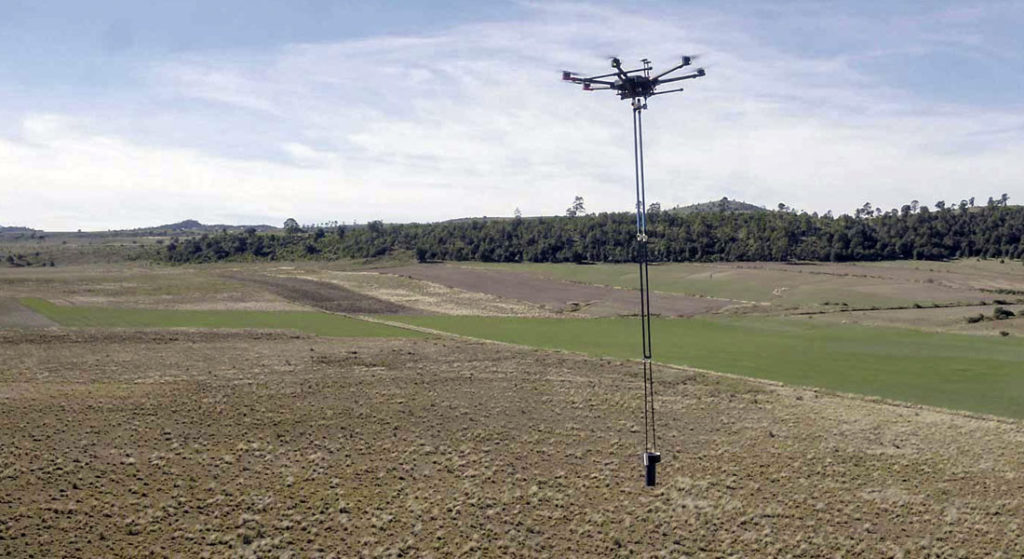
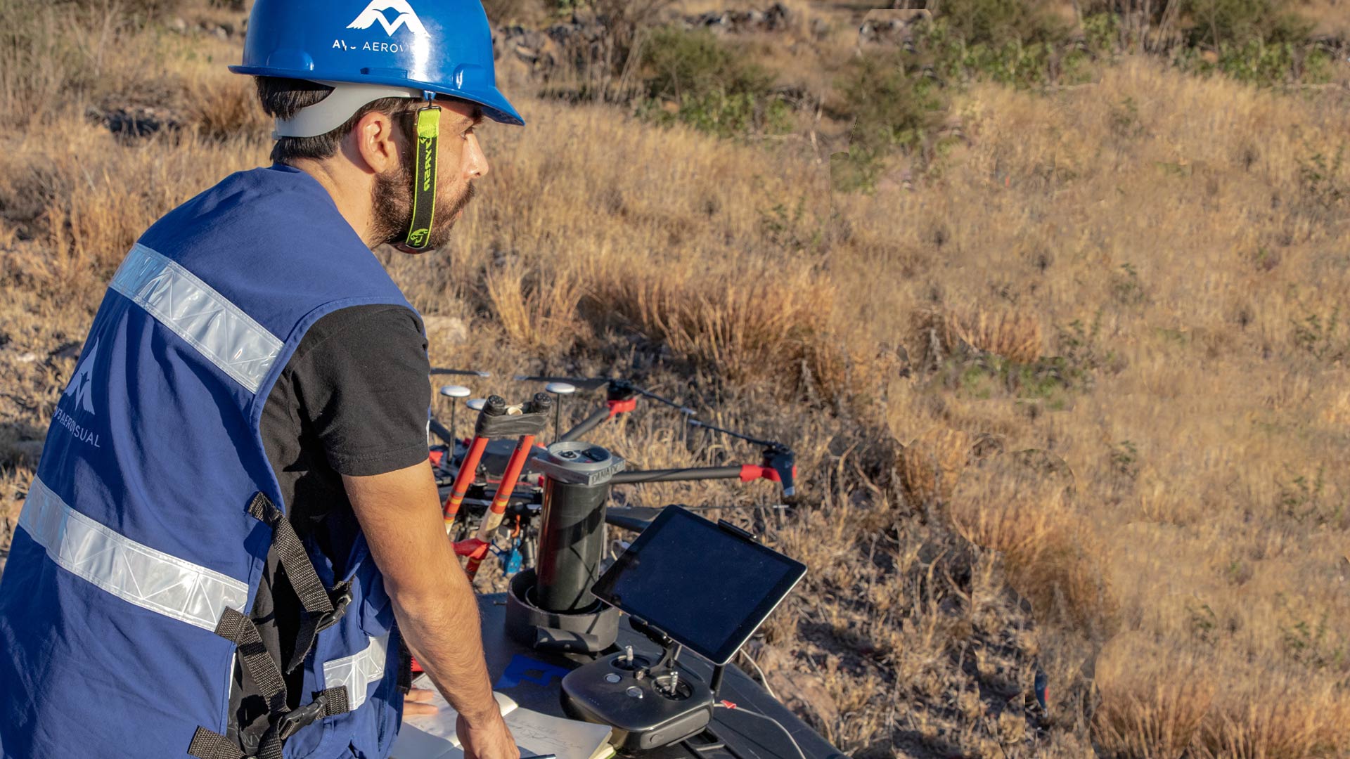
We are pioneers of drone aero magnetometry in Mexico. We have the experience to offer you the best aeromagnetometry service using the best technology in the market: AV-MAG℠

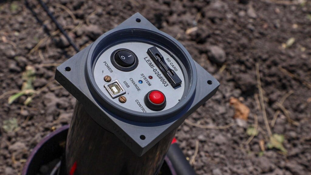
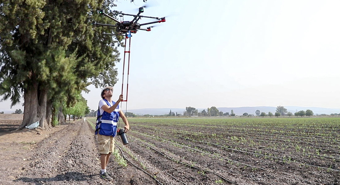
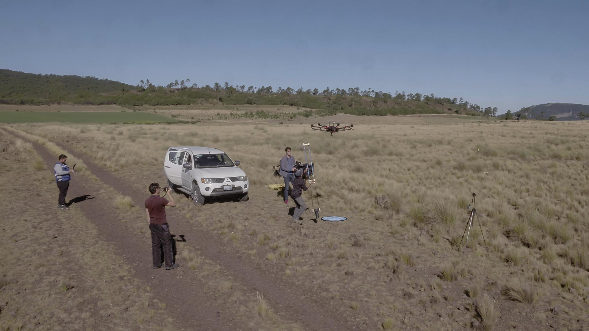
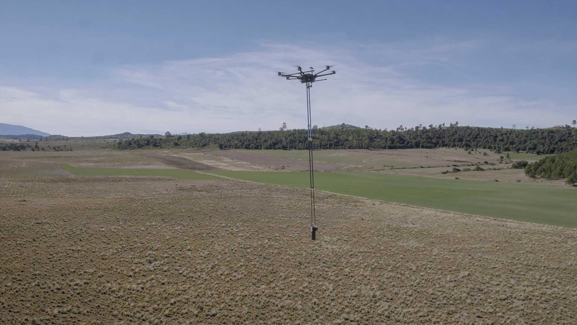
With our AV-MAG℠ 3-axis stabilization system equipped with a Fluxgate magnetometer, and our processing method, we deliver reliable results, saving time and resources.

AV-MAG℠ offers more accurate magnetic data acquisition by automating flight missions to guarantee uniform data collection.

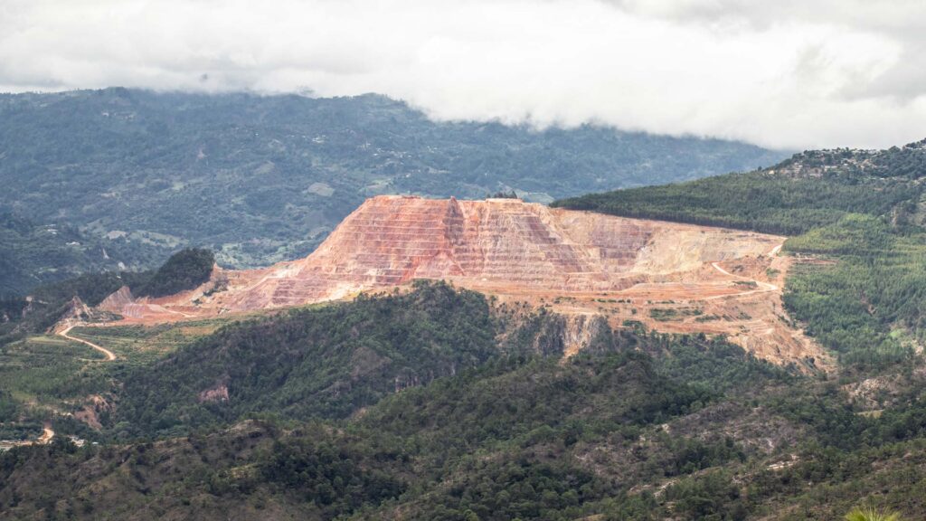
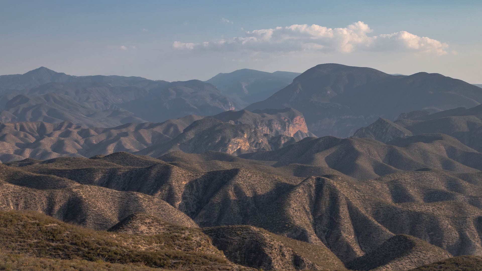
In addition, its versatility allows the study of rugged or areas of difficult access at a much more competitive cost than any other method.
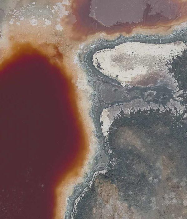
AV-MAG is a very useful tool to detect:

  • Magnetic anomaly maps
  • Recognition of geological structures
  • Identification of magnetic structures
  • Exploration of mineral resources
  • Geothermal prospecting
  • Establishment of lithological limits
  • Bedrock configuration

We offer integral services and have the capacity to adjust to the needs and possibilities of the project, without compromising the precision of the results.

logotipo

EXPLORE RELATED PROJECTS

Services:
Well location
Geophysics and exploration Precision agriculture

Hydrological study and geological analysis for the location of water wells and aquifers; to identify the water capacities of your land and use the water in a more efficient way.

More Information ...
Drone aereo magnetometry
Geophysics and exploration

We are pioneers in aerial magnetometry with drones in Mexico. AV-MAG℠ is a high-tech geophysical exploration method for generating highly accurate magnetic anomaly maps.

More Information ...
Geophysical studies
Geophysics and exploration

We implement geophysical methods for underground research and exploration. Natural resources and hydrocarbons, mining, construction, urban planning, public safety, archeology and agriculture.

More Information ...
Projects:
Related Posts: Geophysics and exploration

As part of our services for geophysics and exploration, we use drones and geophysical technologies for the exploration and estimation of resources, identification of geological structures and soil studies. these services optimize resources and costs, automate and improve processes for planning and development of mining projects, exploration plans, geology management, geophysical investigation, drilling, mineral resource estimation, evaluation of geological and exploration projects, geological data collection, geothermal prospecting, establishment of lithological boundaries, topography, rock bed configuration, well and aquifer location. All our services are insured and all our operators are licenced drone pilots.