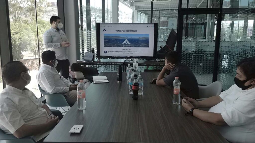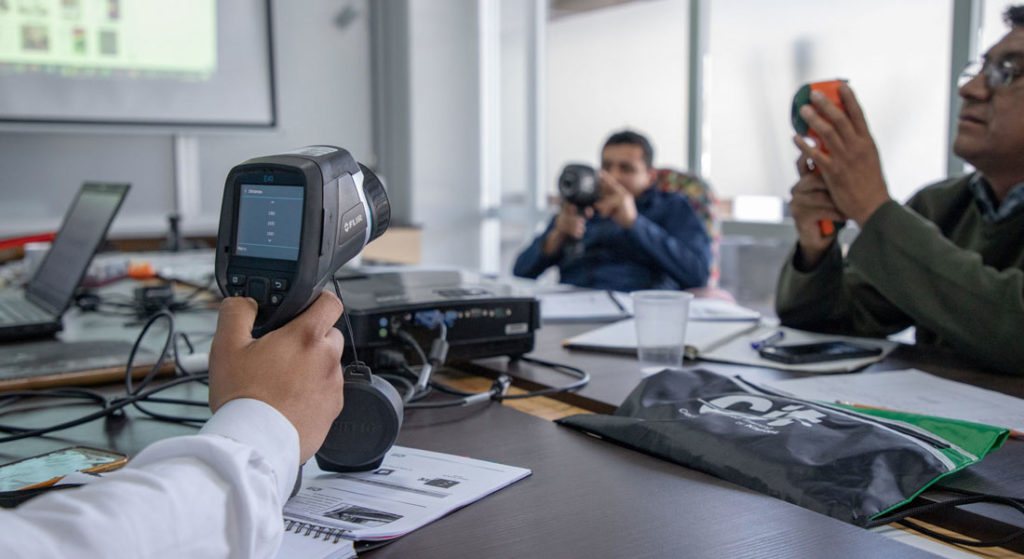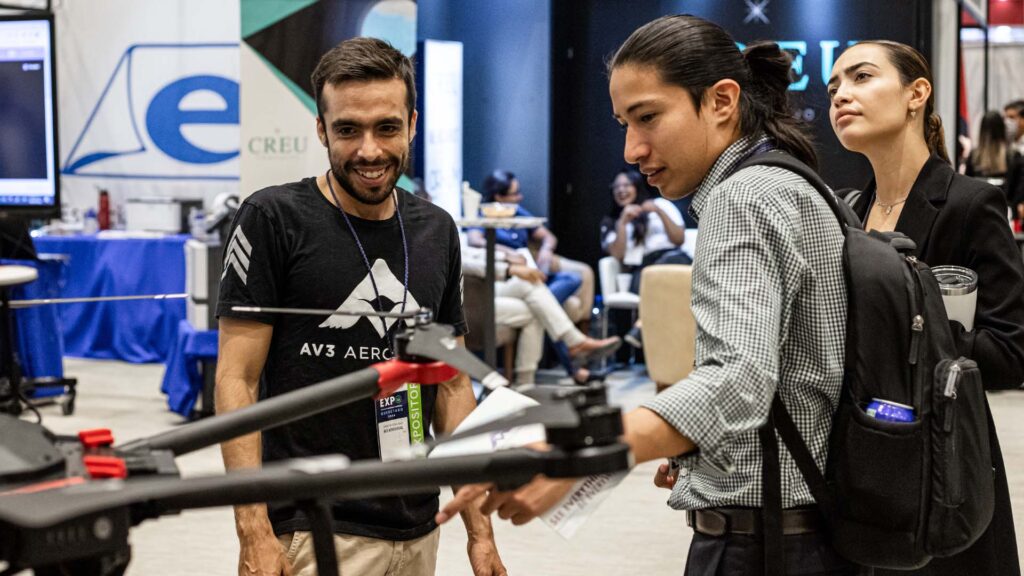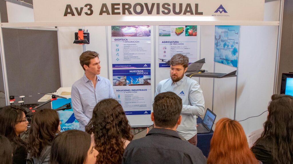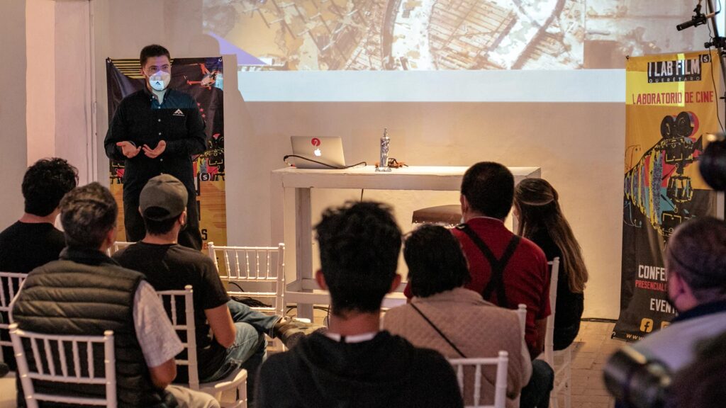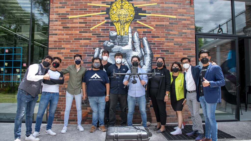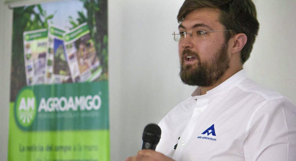
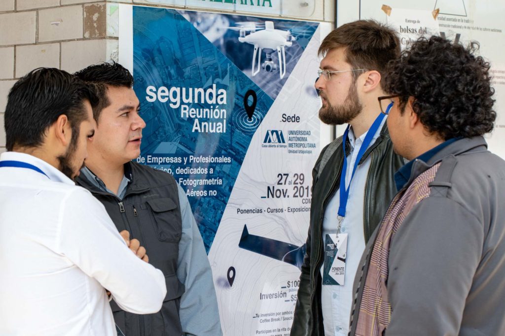
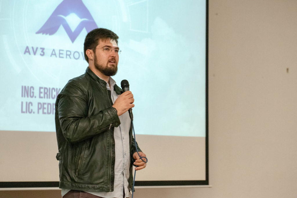

We participated in the second edition of the conference Drones Fotogrametría Pro, at the facilities of the Universidad Autónoma Metropolitana Unidad Iztapalapa. The conference “Aerial Thermography in Photovoltaic Plants” was led by Pedro Olivares Sáinz, administrative director and Erick Tovar Castillo, chief operations officer of AV3 AEROVISUAL, where they shared with the attendees some of the results and the experience that our company has in the implementation of drones and thermographic cameras to perform aerial thermography inspections.
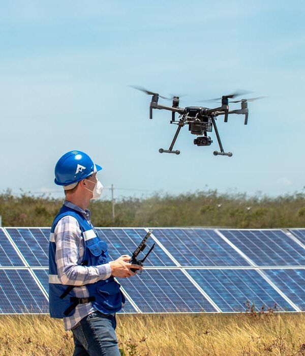
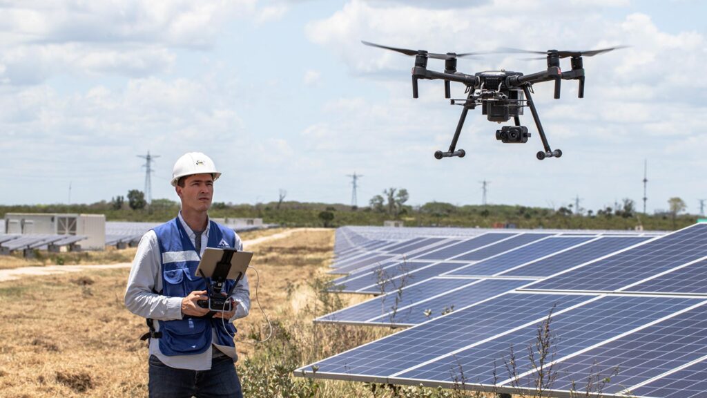
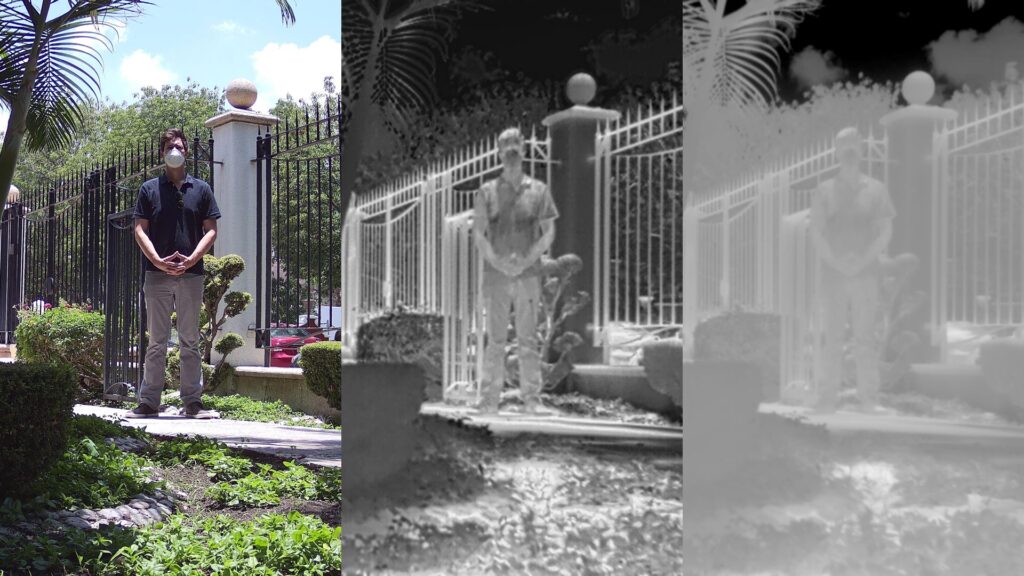
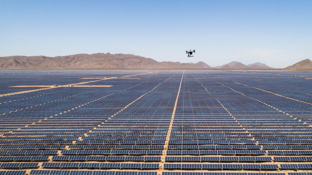
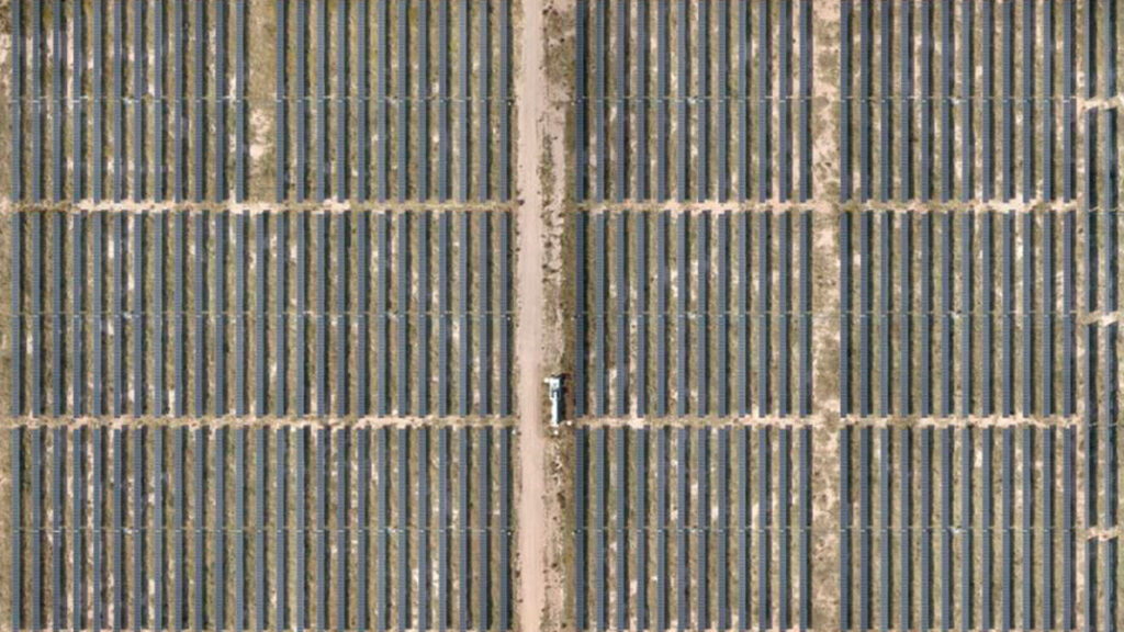
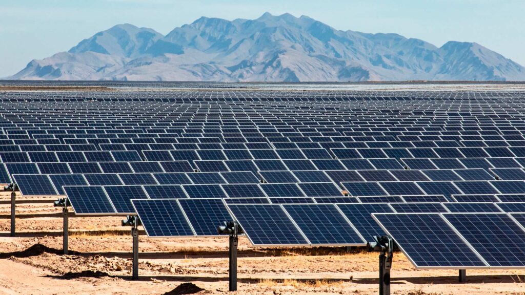
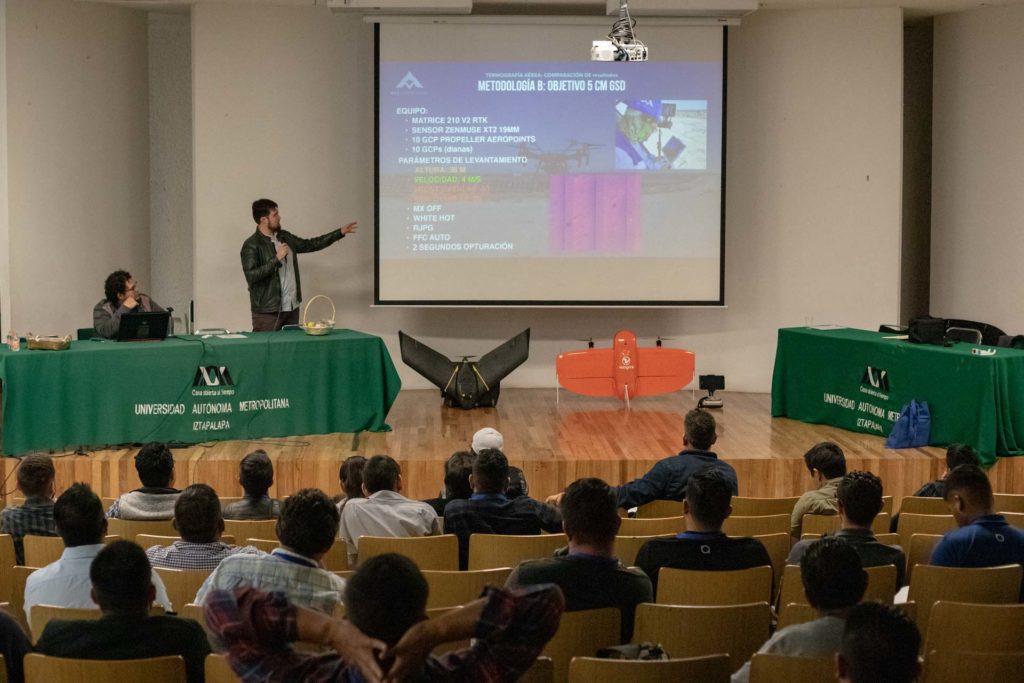
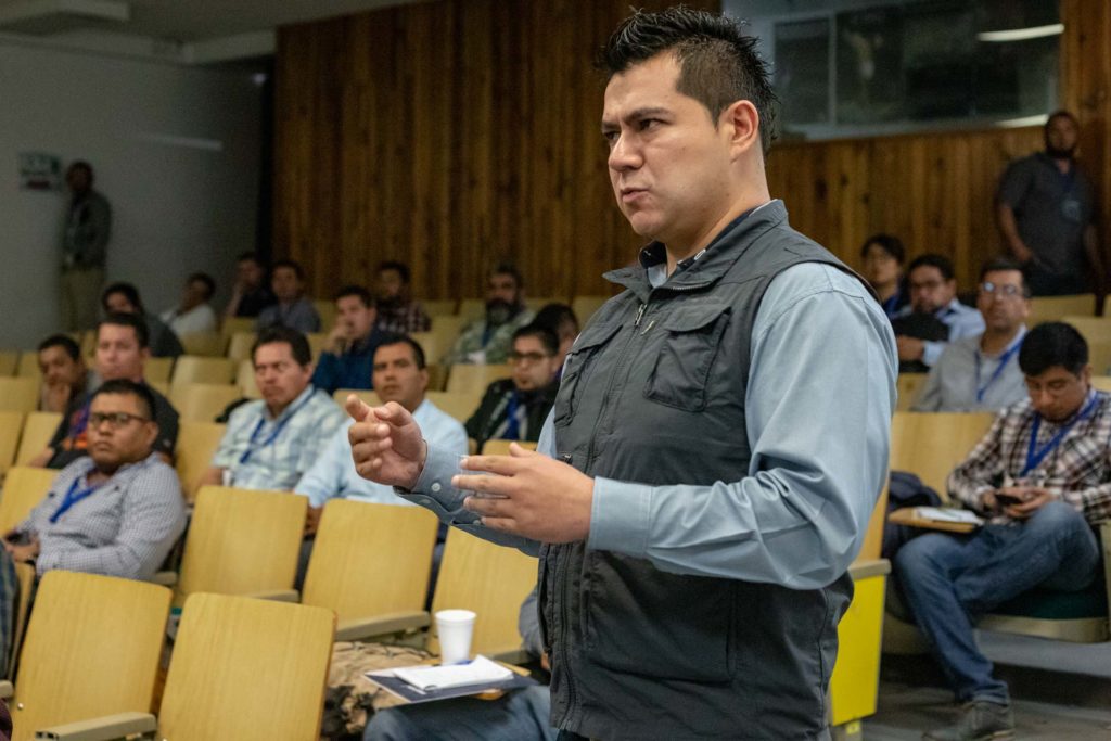
During the presentation, the AV3 AEROVISUAL team shared the experience gained from two different methodologies using drones with thermographic cameras on solar farms. Erick Tovar said that companies in the energy sector are very confident about the performance of their technology, believing that it will not present errors. However, the methodologies used in this project, where thermographic maps of the solar parks were generated to detect anomalies, errors such as hot spots, disconnections and other failures of technical importance were confirmed.
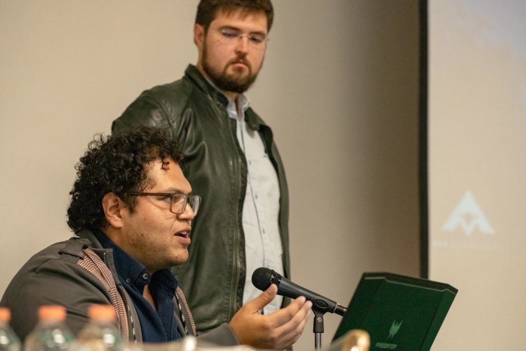
The purpose of the test, according to our chief operations officer, was to contrast results; firstly to fulfill the client’s request, and secondly, to test the knowledge and previous experience of the AV3 AEROVISUAL team in the execution of this type of inspections.
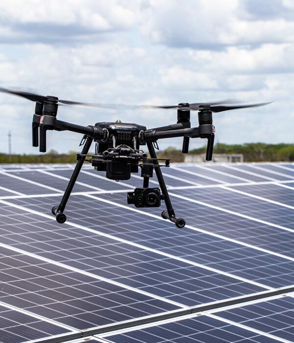
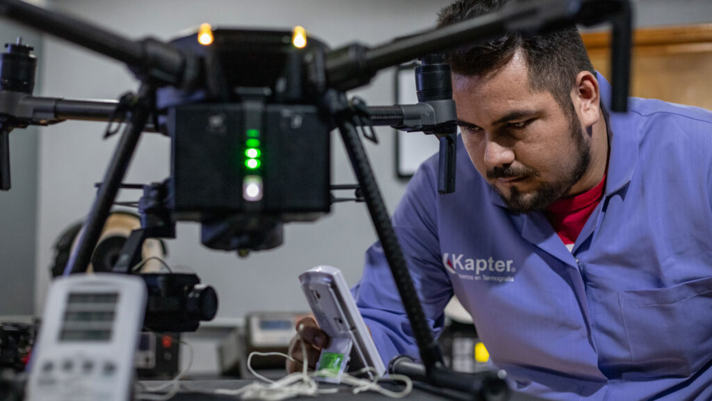
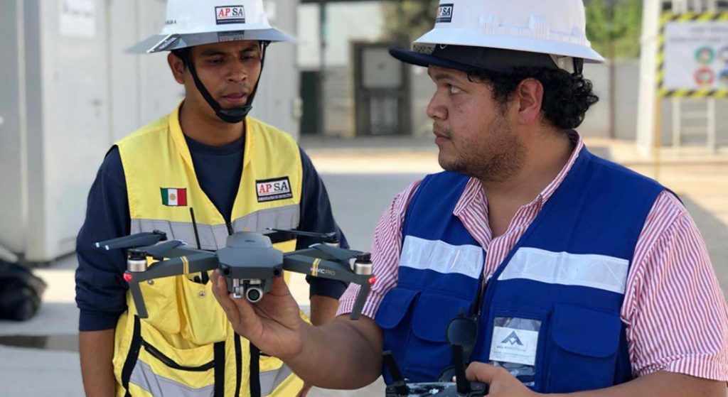
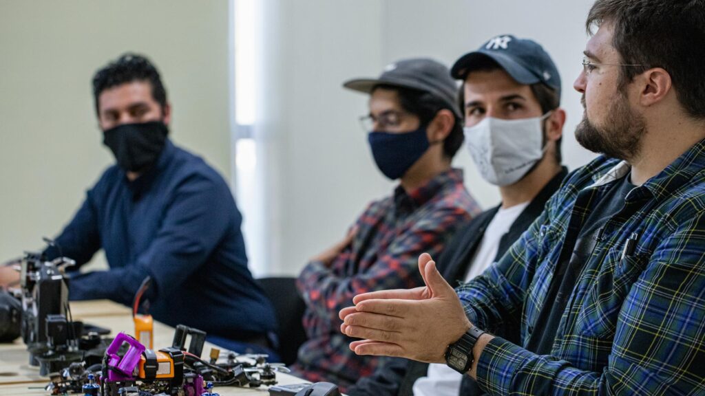
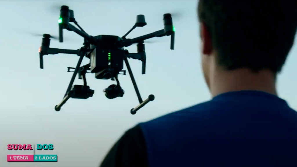
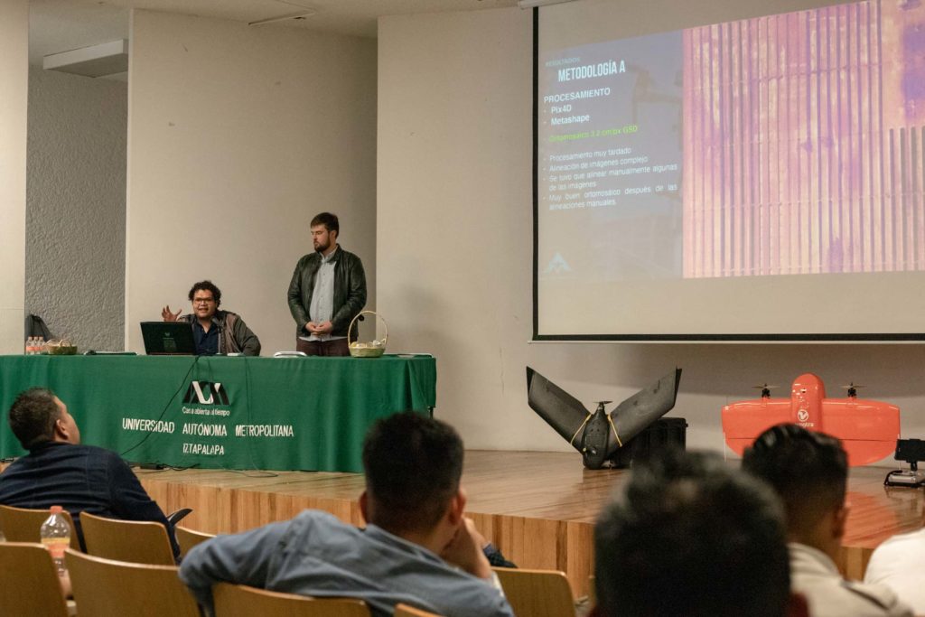
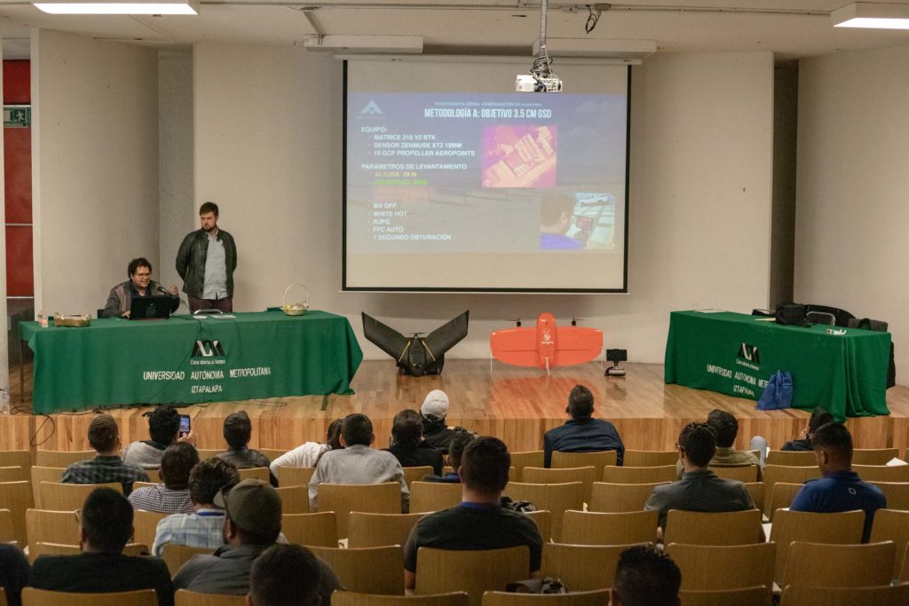
Erick Tovar shared technical details, for the configuration of the thermal camera, and the methodologies for data acquisition and processing. He also mentioned the challenges in the field, at the processing level and how these were resolved. He added that the equipment used for these projects were; DJI Matrice 210 V2 and a 19mm FLIR XT2 camera.
For his part, Pedro Olivares Sáinz mentioned the importance of companies that offer services such as aerial thermography with drones, thermographic inspection, thermographic imaging, thermal inspection of solar panels, thermal inspection of buildings or industrial facilities, among others, must help their clients understand the different options to execute these projects, however there will always be a more efficient method; and although it is possible to consider knowledge acquired in previous implementations, each situation is different and is conditioned by the context where the analysis will be performed.
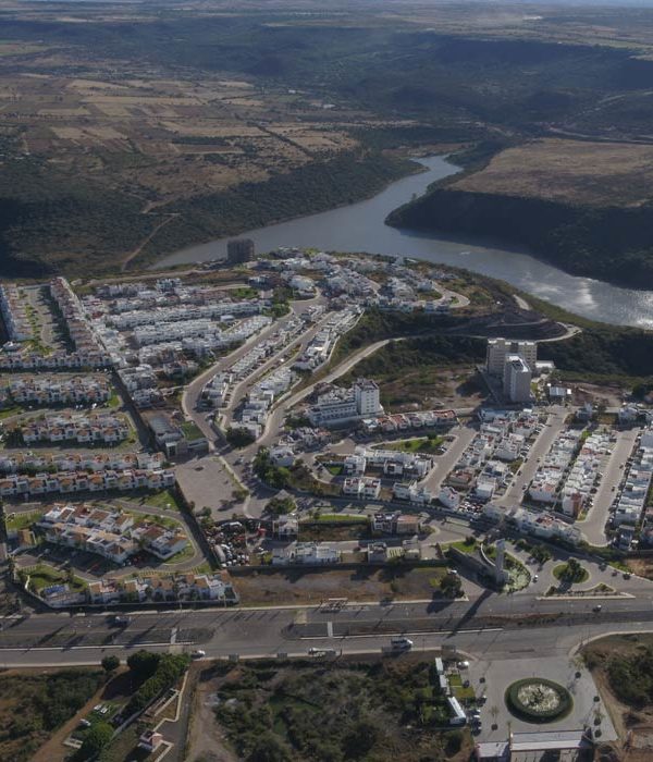
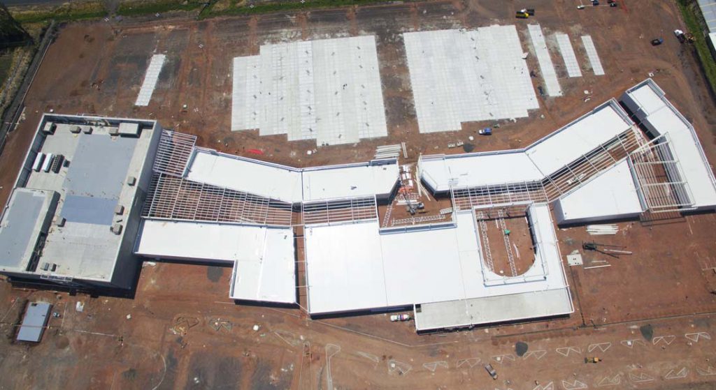
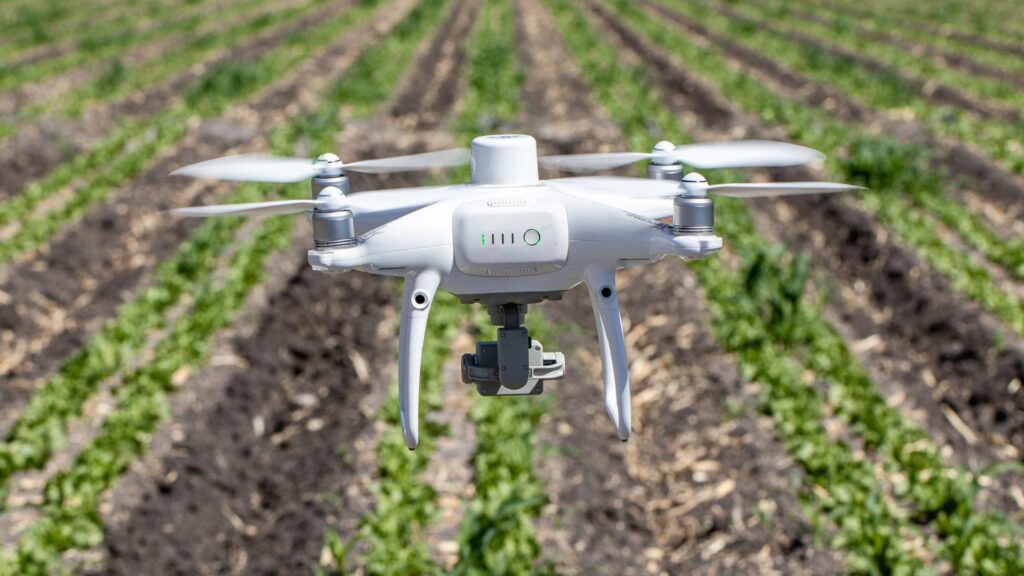
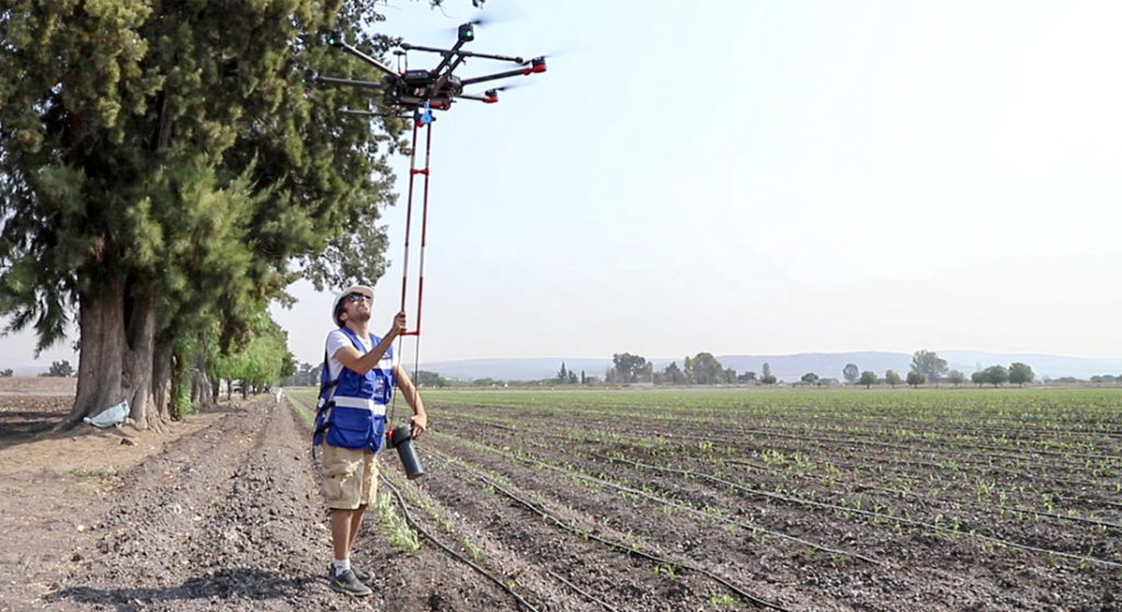
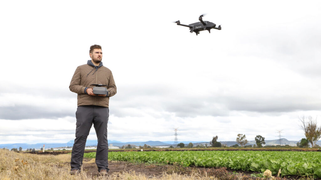
Thermography with drones is also a topic of great interest for companies that are implementing remote sensing technologies for photogrammetry and precision agriculture; because by integrating drones for inspection or aerial mapping, it makes the workflow more efficient, allows to reach places of difficult access, covers large areas of land and delivers more accurate results in less time; resulting in significant savings and a competitive advantage for the companies who use it.
We would like to thank GR Soluciones Espaciales, Omphika Geoprocesamiento and Universidad Autónoma Metropolitana for their invitation.