Loading...
Loading...
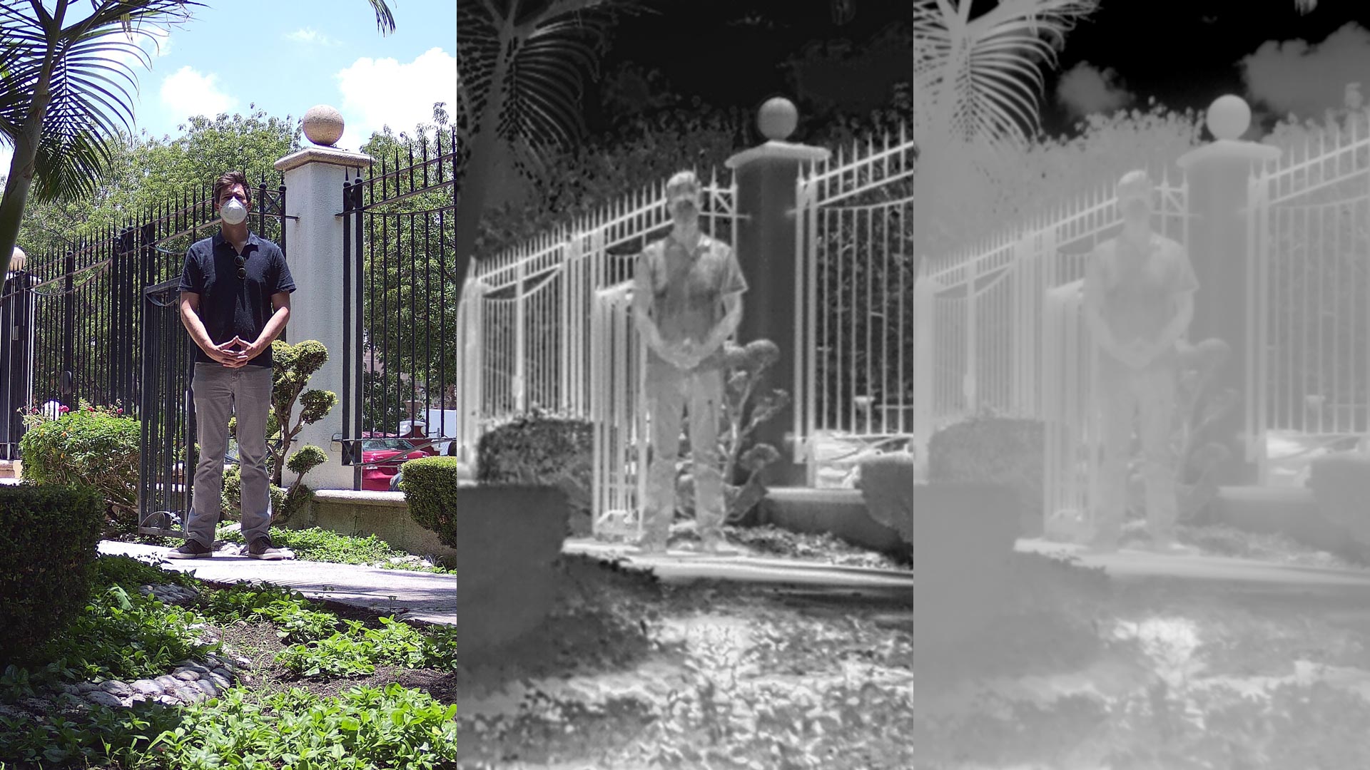
Features and differences between .JPEG, .TIFF and R.JPEG formats, the most common for taking and storing thermographic images in aerial inspections with drones.
Geophysics and exploration| Industrial Solutions| Precision agriculture
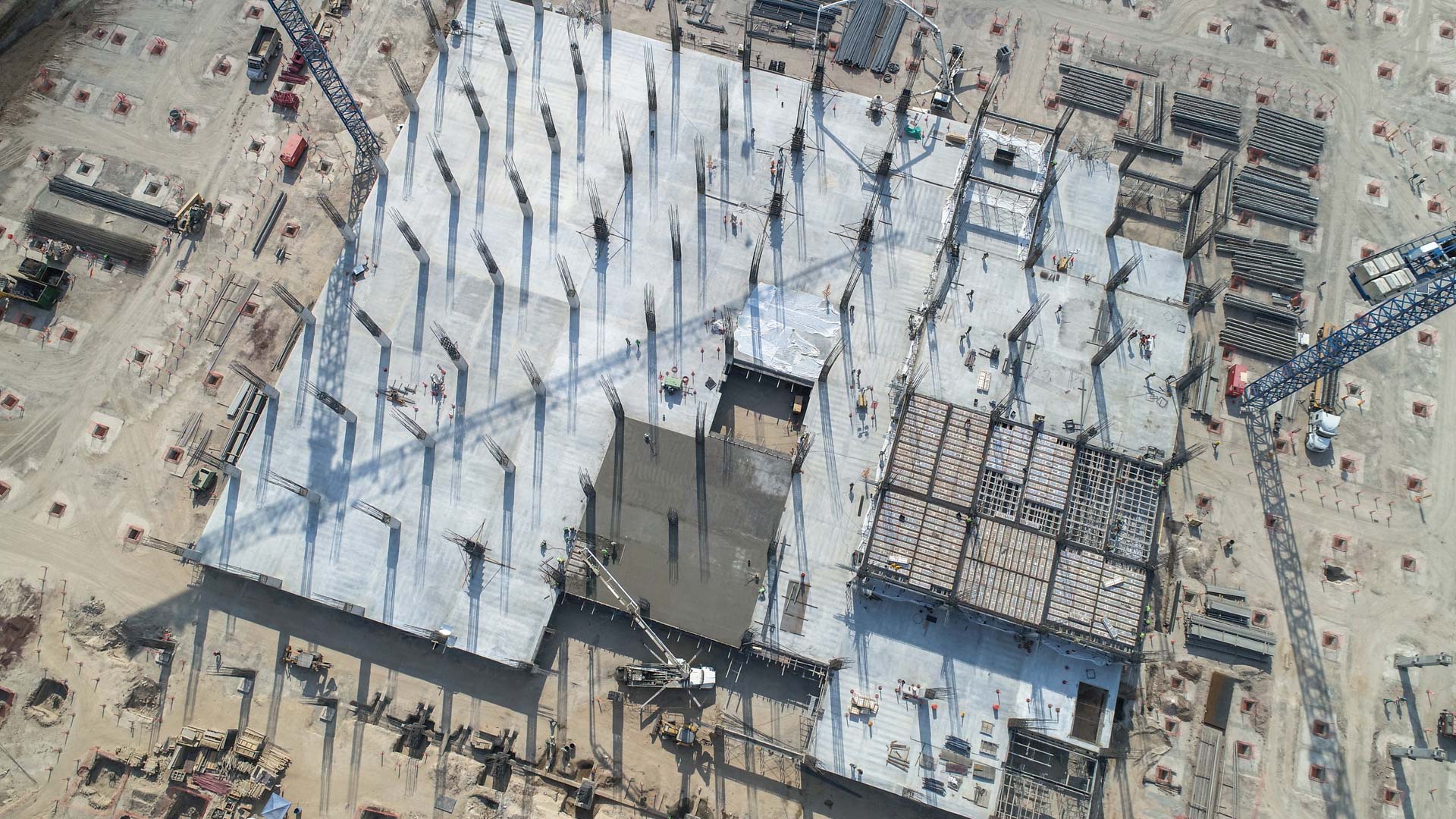
Aerial inspection with drones adds value and intelligence for different sectors of the industry, it is a review to prevent, detect or correct some kind of problem. By using a drone, qualitative and quantitative information can be collected from an asset or a location of difficult access, making the inspection safe and efficient.